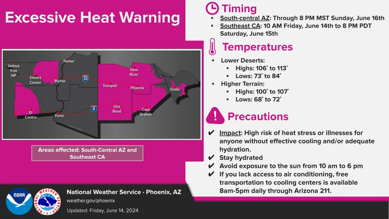
Once the weather system that has provided the region with a couple rounds of rain chances exits, dry and tranquil conditions return. High pressure will make an appearance once again, pushing temperatures near 10-15 degrees above normal by the weekend.


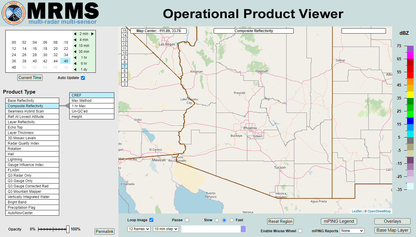 MRMS Radar Imagery
 Phoenix Radar
 Yuma Radar
 Regional Satellite
 GOES-19 Satellite
.PNG) Weather & Hazards Data Viewer
Weather & Hazards Data Viewer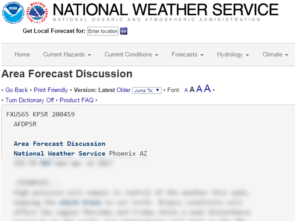 Forecast Discussion
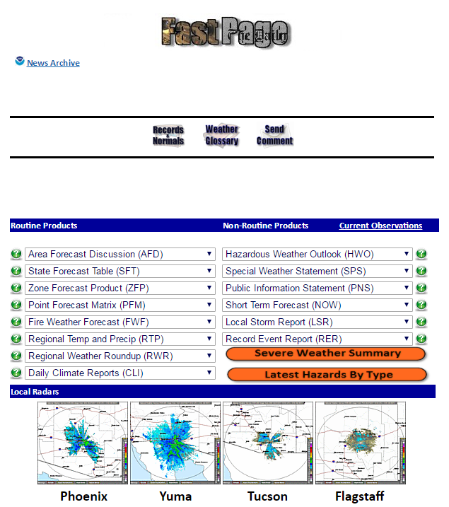 Fast Page
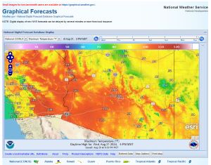 Local Graphical Forecast
 Drought Monitor
 Monsoon Tracker
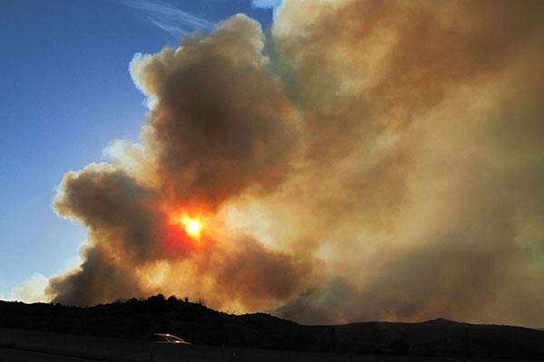 Fire Weather
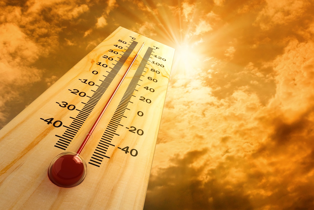 Heat
Heat Experimental Graphical HWO
 SPC Outlooks
 Hurricane Outlook
 Local Climate Information
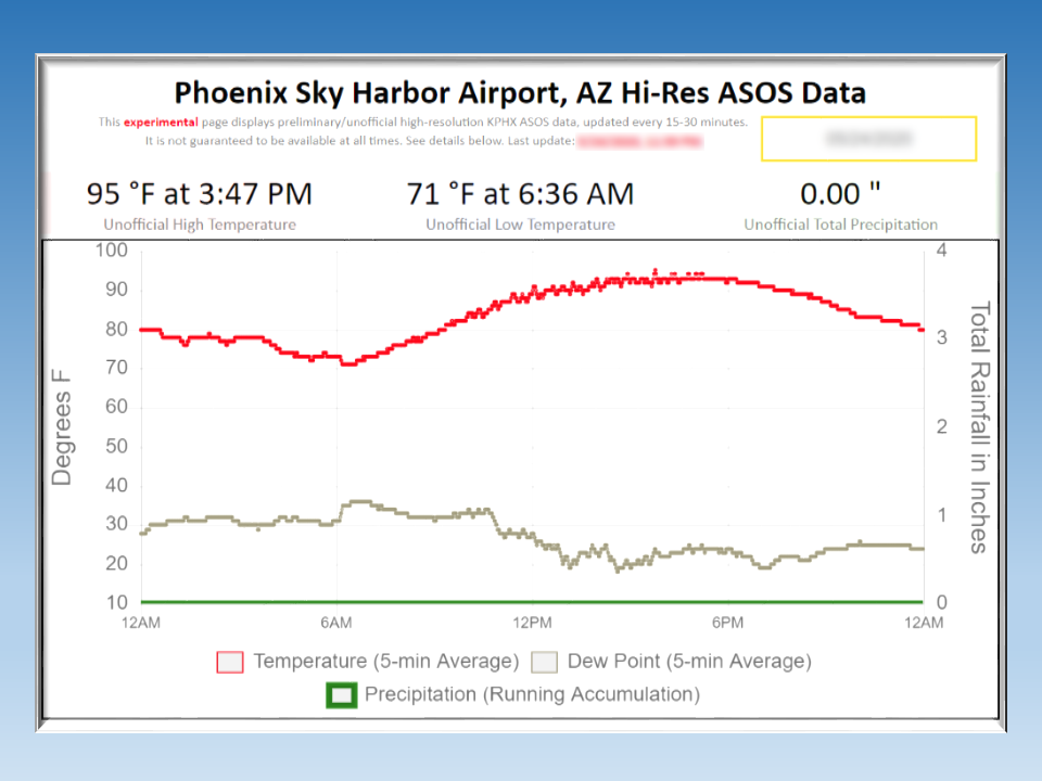 Hi-res KPHX ASOS Data