
A heat wave over the Southwest will intensify late week, peaking and expanding into the Intermountain West and northern High Plains this weekend. Severe thunderstorms and heavy rain are expected over portions of the Plains and Mississippi Valley tonight, which will shift to parts of the Upper Midwest and mid-Mississippi Valley Friday. Monsoonal showers and flooding persist in the Desert Southwest. Read More >
Last Map Update: Thu, Jul 30, 2026 at 11:56:26 pm PDT
|
Text Product Selector (Selected product opens in current window)
|
|


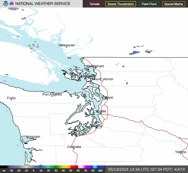 Camano Island Radar
 Coastal Radar
 Satellite
 Weather Map
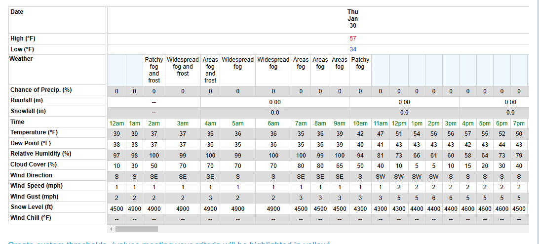 Forecast Weather Tables
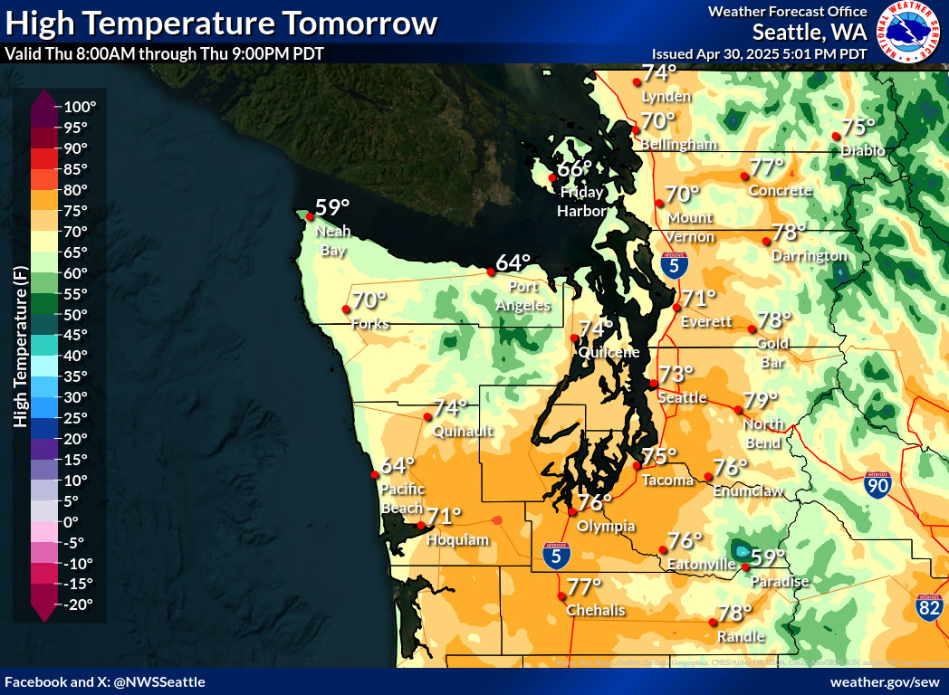 Local Forecast Graphics
 Hydrology
 Fire Weather
 Forecast Discussion
 Aviation
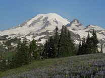 Mt. Rainier Rec. Report
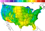 Graphical Forecasts
 Mountain Weather Observations and Forecasts
 Area webcams
 Weather Stats