National Weather Service United States Department of Commerce
Click a location below for detailed forecast.

Last Map Update: Sun, May 4, 2025 at 9:50:21 pm PDT

Light showers and drizzle may bring an additional 0.1-0.2" for parts of the coastal basin through Monday morning. Isolated to scattered showers and thunderstorms for the deserts and mountains through tonight. Some storms may contain heavy rainfall. Light showers again Monday for the mountains.
Slightly warmer, but still well below average inland. For the coastal areas: 63 to 66, western valleys and inland Orange County: 64 to 69, inland valleys: 59 to 68, mountains between 4000 ft and 7000 ft: 49 to 61, high desert: 69 to 75, low desert: 76 to 81.
Slightly warmer, but still below average for inland areas. For the coastal areas: 64 to 69, western valleys and inland Orange County: 66 to 70, inland valleys: 65 to 72, mountains between 4000 ft and 7000 ft: 56 to 67, high desert: 74 to 80, low desert: 82 to 86.
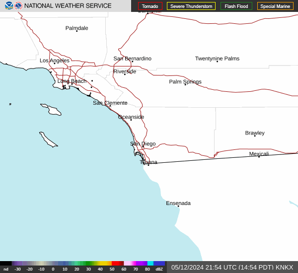
Much warmer by next weekend. Hot for inland areas. For the coastal areas: 73 to 80, western valleys and inland Orange County: 80 to 88, inland valleys: 85 to 93, mountains between 4000 ft and 7000 ft: 74 to 84, high desert: 90 to 95, low desert: 101 to 105.


Text Product Selector (Selected product opens in current window)