Precipitation Analyses
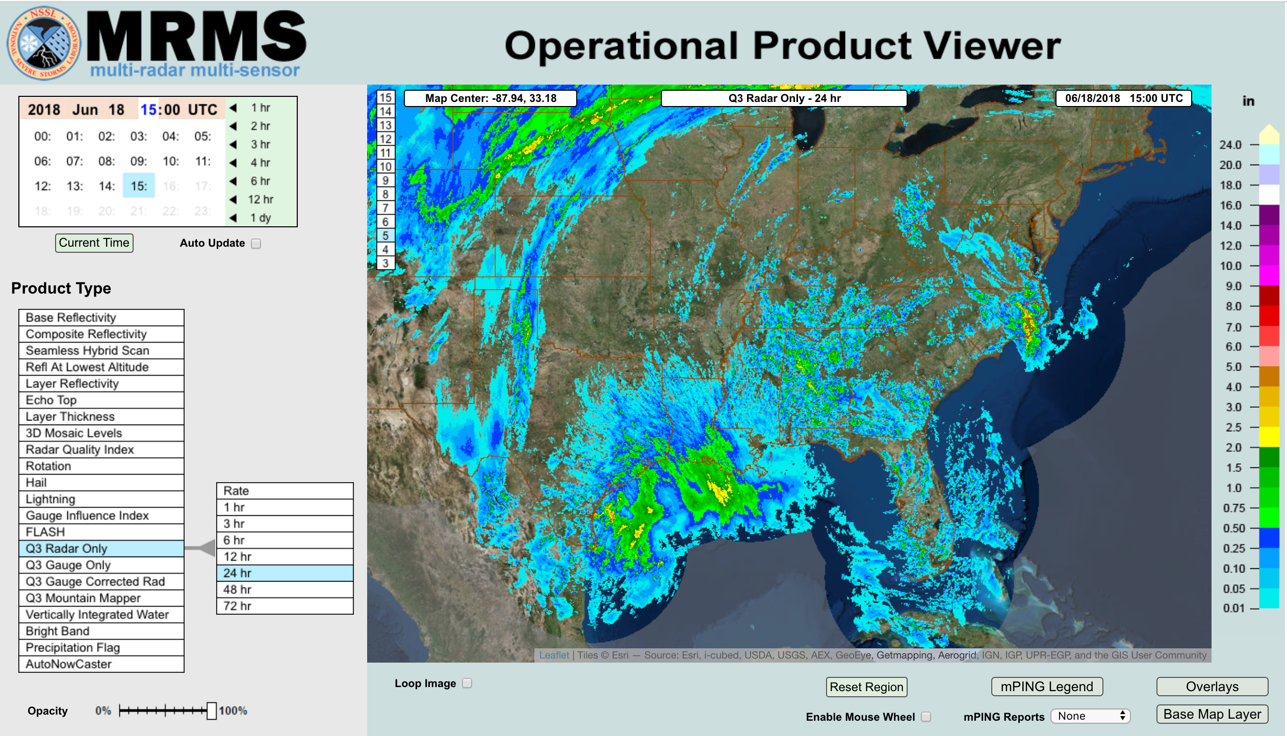
Operational precipitation analyses provide critical input for hydrological models and are available from combined rain gauge and radar data, but do not presently meet the Act’s temporal resolution requirement of 15 minutes (the 1km spatial resolution is met). The Multiple-Radar Multiple-Sensor (MRMS) precipitation analysis, which combines data from radar, satellites, surface observations, upper air observations, rain gauges, and models, provides an approximation of the amount of precipitation accumulated on areas in near-real time. The High-Resolution Rapid Refresh (HRRR) model is a real-time, 3km resolution convective-allowing model (CAM), updated hourly, with 3km radar data assimilated every 15 minutes over a 1 hour period. This project aims to access the data from both MRMS and HRRR, in 15 min increments, thereby providing observed/analyzed and modeled precipitation data at the temporal frequency required by the Act. It is envisioned the higher temporal frequency MRMS and HRRR precipitation data resulting from this project will serve as future forcings to the National Water Model (NWM; Project #10) in meeting the Act’s requirements for resolving freshwater/inland hydrological features at high spatial and temporal resolutions (assumed, with FY19 funds).
PRECIPITATION ANALYSES