A storm tracking across the southern U.S. will continue to bring areas of heavy thunderstorms with risks for severe weather and excessive rainfall from Texas to Florida through this weekend. While much of this rainfall will be beneficial to the drought, excessive rainfall may bring areas of flash and urban flooding. Read More >
| Return to Safety Homepage |
Ceiling and Visibility
Ceilings are a common problem when precipitation occurs. In the Southeast US, they tend to be a greater hazard during the wintertime, when temperatures are colder and freezing levels are much lower than during the summer.
Many aircraft and pilots are rated for various ceiling minimums and thus use their rating and experience to determine whether or not it is safe to fly. In general, ceiling heights and resulting safety fall into four different categories:
| Ceiling Height (AGL) | Flight Category |
| > 3000ft | Visual Flight Rules (VFR) |
| 1000ft-3000ft | Marginal Visual Flight Rules (MVFR) |
| 500ft-900ft | Instrument Flight Rules (IFR) |
| <500ft | Low Instrument Flight Rules (LIFR) |
Low visibilities can occur due to fog, falling snow, heavy smoke, or even haze. Similar to the ceiling categories above, visibility conditions fall into four aviation flight rule categories:
|
Visibility |
Flight Category |
| > 5SM | Visual Flight Rules (VFR) |
| 3-5SM | Marginal Visual Flight Rules (MVFR) |
| 1-3SM | Instrument Flight Rules (IFR) |
| < 1SM | Low Instrument Flight Rules (LIFR) |
There are two types of fog that can form: Radiation Fog and Advection Fog
Radiation Fog Two ingredients are needed for radiation fog to develop: Very light or calm winds, and a relative humidity of 100%. On a weather map, 100% RH is also indicated when the air temperature is the same as the dewpoint temperature. When this occurs, moisture condenses into tiny droplets, essentially forming a cloud right at the ground level. In pure ground fog environments, it is not uncommon for the fog to be very shallow with low forward visibility and clear skies above. Most of the time, this type of fog forms overnight, then dissipates the following morning after a couple hours of sunshine.
Advection Fog This type tends to develop when moist air moves into an area (usually from a body of water such as the ocean, lake or river). Unlike radiation fog, the winds can continually replenish the moisture so that even sunshine cannot improve the conditions. It is not uncommon for this type of fog to persist for most of the day, and is usually accompanied by stratus clouds and low ceilings.
Click the image for a current map of ceiling and visibility conditions across the ZME airspace.
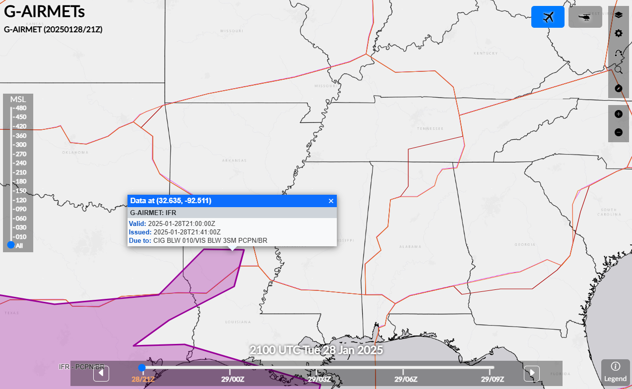
To avoid landing in bad weather conditions, look at the current and forecasted weather conditions for the destination before departing. While in flight, listen for hazardous weather information that indicate poor conditions. AIRMETs are issued for widespread IFR conditions, and Center Weather Advisories (CWA) are generally issued for LIFR conditions.

For a current display of AIRMETs in effect, click here.
For a current display of CWAs in effect, click here.
Turbulence |
Thunderstorms |
Icing |
Ceiling and Visibility |
LLWS |
Density Altitude |