
Widespread life-threatening flash and urban flooding continues in south-central Texas, with considerable flooding impacts possible across central Texas. Wildfire smoke is impacting air quality across much of the Great Lakes region into southern New England and the Mid-Atlantic. Monsoonal thunderstorms may produce isolated to scattered flash flooding across the Southwest into the Great Basin. Read More >
|
The NWS online radar display has CHANGED! The web address is the same, but there is a completely new interface: The display has many options, and may take some time to become familiar with it. This is a short tutorial on how to use the interface. See the following images for tips, and read on for more details and familiarization exercises/procedures. |
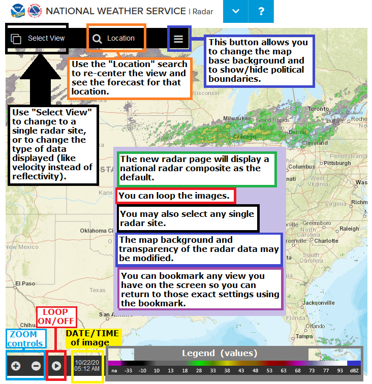
| Single Radar: | Navigation: | Map settings: |
|
Start:
|
 |
|
Zoom in/out:
|
 |
|
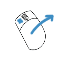
Pan (slide the map around):
|
 |
|
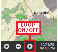
Loop the image:
|
 |
|
Center on a specific town/location:
|
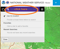 |
|
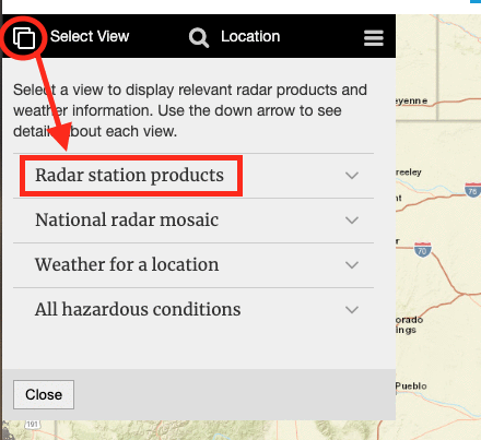
Select a specific/single radar site:
|
|
|
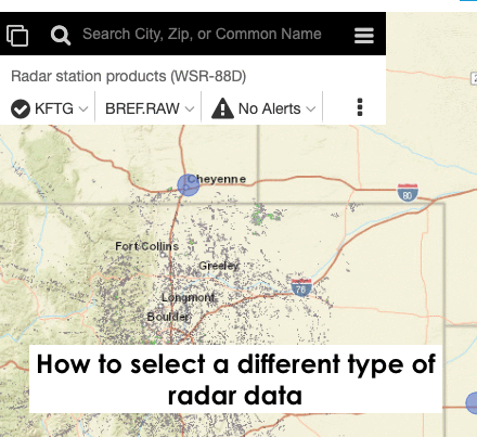
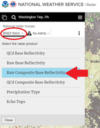
View different radar data for a single radar site:
|
|
|
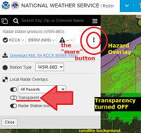
View more options in single-radar mode:
|
|
|
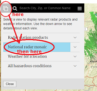
Go back to the National Radar Mosaic:
|
---- then -----
|
|
You can BOOKMARK any view you like ! Firm up your settings/preferences (location/zoom/radar image type/data/map background/transparency/loop) before you hit the: "bookmark this page" button/feature on your browser. |
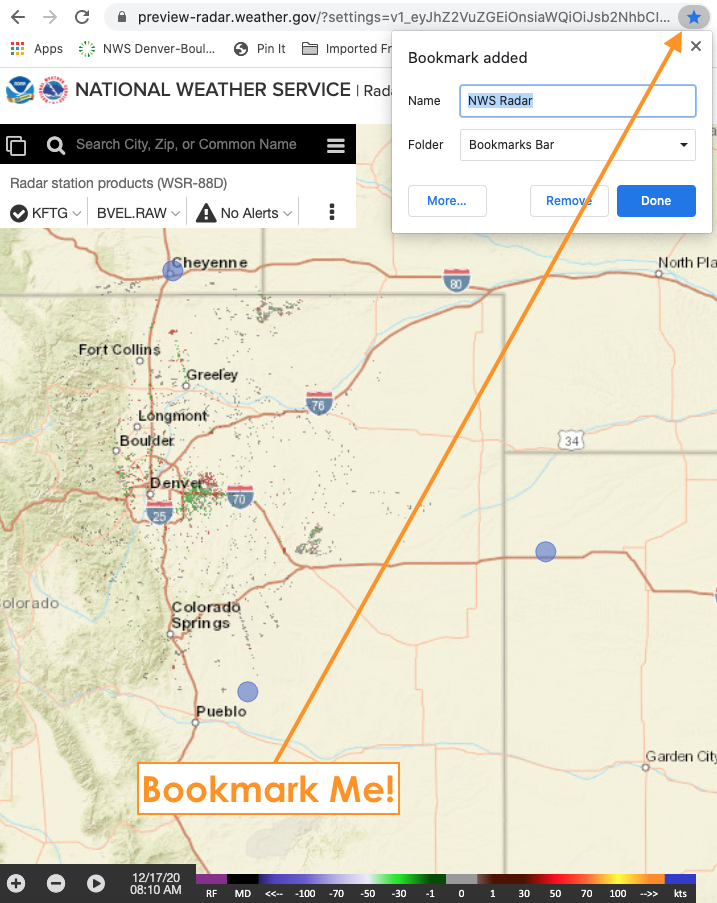 |
|
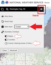
Choose Map Backgrounds:
|
-- changing transparency in done in single radar mode "more" window --
|


 Send Us a Report