National Weather Service United States Department of Commerce

Dangerous, Record-Breaking Heat to Continue in the Central and Eastern U.S.; Severe Thunderstorms in the Upper Midwest; Critical Fire Weather in the Four Corners

Dangerous, record-breaking heat will continue across most of the central and eastern U.S this week. Heat indices will exceed 100 degrees. Severe storms will be possible from the northern Plains into the Midwest and Great Lakes regions, as well as across the southern Appalachians Thursday, with the primary threat large to very large hail. Critical fire weather to continue in the Four Corners Region Read More >

Skywarn Spotter LogoSkywarn Spotter Logo

SkyWarn™ Spotters: Please use the 800 number

Learn more about SkyWarn™

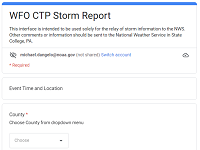
Fill in a Form to Submit Your Report:

Fill in a Form to Submit your Report

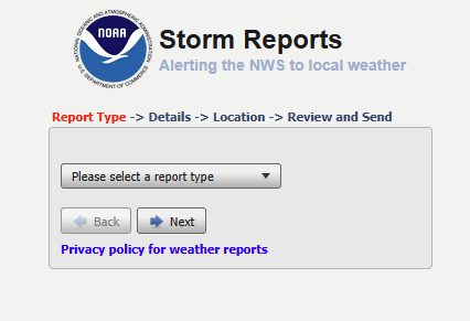
Fill in a (different) Form to Submit Your Report:

iNWS report form image/link

Send an email to:

ctp.stormreports@noaa.gov
Send an e:mail to submit your report

Use Social Media:

We are always monitoring

 Facebook

and

Link to X

use hashtag: #PAwx

or, just CALL US DIRECTLY   @   814.954.6440


LATEST SUMMARIES AND REPORTS:

Local Storm Reports

Reports of severe weather (tornadoes, thunderstorm wind damage, etc.

Map of recent
severe weather reportsSPC Reports Page


Map of recent
snowfall reports

Public Information Statement

Damage survey results, Snowfall, and General Information:

See a video on how to properly measure snowfall 

Please Report:

We ask our SkyWarn™ Spotters to contact our office when they experience any of the events listed below.

Cold-Season (Winter) criteria:

  • Snowfall
    • When (new) snow accumulation reaches 3 inches
    • When (new) snow accumulation reaches 6 inches
    • Give a final report/total at the end of the storm (water equivalent if possible)
    • 1 inch per hour or greater accumulation rates
  • Ice
    • Any occurrance, or accumulation, of freezing rain
    • Accumulation of 1/4" or more of ice on trees/wires
  • General Winter Reports
    • When forecast winter precipitation differs significantly from observed (i.e. snowing with no snow in forecast, sleet...when only snow is forecast...)
    • Any other significant weather occurrence/oddity (i.e. flooding due to snow melt/ice jam, damage from strong winds not associated with a thunderstorm)

Warm-season (Thunderstorms) criteria:

  • Tornadoes or funnel clouds (be very wary of look-alikes; watch for rotation)
  • Wall clouds, especially if they are rotating
  • Hail (Please be specific with regard to size)
    Other sizes/descriptions to use for hail:
    
    * Pea 0.25 inch
    
    * Penny 0.75 inch
    
    * Nickel 0.88 inch
    
    * Quarter 1.00 inch (15/16")
    
    * Half dollar 1.25 inch
    
    * Walnut/Ping Pong 1.50 inch
    
    * Golf ball 1.75 inch
    
    * Lime 2.00 inches
    
    * Tennis Ball 2.50 inches
    
    * Baseball 2.75 inches
    
    * Large Apple 3.00 inches
    
    * Softball 4.00 inches
    
    * Grapefruit 4.50 inches
    
    • Quarter-Size (1") and larger is severe!
  • Wind Gusts (40 mph or greater; specify whether estimated or recorded)
    • large branches downed (specify diameter of branch)
    • Trees/power lines downed
    • Structural damage to buildings (roof, windows, etc.)
  • Rainfall
    • 1 inch or greater in an hour (NOT a 1"/hr. rate for 10 minutes)
    • 2 inches or greater storm total
  • Flooding
    • Streams/Rivers -- also, when nearing bankfull
    • Street (when more than the usual poor drainage puddles)


All NWS State College Text Statements/Forecasts: