
Scattered damaging winds, isolated severe hail, and a brief tornado or two are possible from the Upper Ohio to Tennessee Valleys during the late afternoon and evening. Across the Southwest, monsoonal moisture will continue to bring heavy rain and a threat for isolated to scattered flash flooding through Saturday. Read More >
(click to enlarge)
|
Maximum Temperature 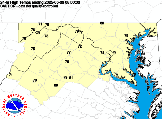 |
Minimum Temperature 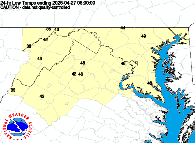 |
|
Rainfall  |
Snowfall  |
Daily Summary of our COOP Observer Reports This is where all reports end up even if it does not show up on the map.
This is the Frequently Asked Questions (FAQ) area where we offer what we can to assist you.
How do I view and/or print my B-91 form using the WxCoder web page? Click here for instructions.


 Coastal Flood
 FAQ
FAQ