
Strong thunderstorms may bring excessive rainfall and flooding over parts of the northern Gulf Coast today and over parts of the southern Rockies into the High Plains today through the weekend. A refreshingly cool and dry air mass will continue to produce below average temperatures across the central and eastern U.S. through the weekend. Read More >
 The National Weather Service in Riverton Wyoming has determined the strong potential exists for severe weather to develop Monday afternoon and evening.
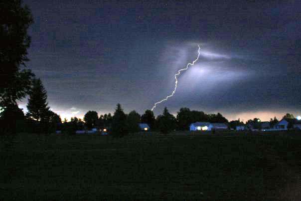
Potentially dangerous thunderstorms are anticipated to impact northern and central Wyoming with the threat of isolated tornadoes, large hail, strong winds, and dangerous lightning.
Summary | Forecast | Monitoring & Reporting | Safety
A strong upper level low pressure system will move across the northern Great Basin today. The environment
ahead of this system will be favorable for severe thunderstorms to develop across much of central and northern
Wyoming. Strong south winds will develop across southern Wyoming where High Wind Warnings are in
effect today.
| 5 am Monday Video Briefing for Severe Weather |
| Regional and Local Radars (click on image to enlarge) | |||||||||||||||
|
|||||||||||||||
| Today's Severe Weather Outlook | Today's Severe Hail Risk (Hail >= 1") | ||||||||||||||
 |
 |
||||||||||||||
| Click Image to Enlarge | Click Image to Enlarge | ||||||||||||||
| Today's Tornado Risk | Today's Severe Wind Risk (Gusts >= 58 mph) | ||||||||||||||
 |
 |
||||||||||||||
| Click Image to Enlarge | Click Image to Enlarge | ||||||||||||||
| High Wind Watches and Warnings | Maximum Non-Thunderstorm Wind Gusts through 9 PM Monday |
||||||||||||||
 |
 |
||||||||||||||
| Click Image to Enlarge | Click Image to Enlarge | ||||||||||||||
 |
Monitor our Severe Weather Summary Page for current Warnings, Watches, and Advisories. What's the difference? |
 |
Check the latest Weather Story graphic for an overview of the area forecast. |
 |
Check out what's on the radar. Riverton | Pocatello | Cheyenne | Billings | Salt Lake City | Rapid City | Mosaic |
| Submit storm reports/images and keep up to date with us on Facebook! | |
 |
Other reporting methods include eSpotter, email (cr.wxriw@noaa.gov), or by phone at 1-800-211-1448. |
 |
Check the latest Public Information Statement for the latest storm reports. |
| Monitor current road conditions by visiting the Wyoming Dept. of Transportation (WYDOT) or by calling 5-1-1. |
Now is the time for you to prepare for this event.
Some reminders about severe weather preparedness:
Please watch for issuances of additional severe weather-related products. This may include warnings for Thunderstorms, or Tornadoes, Flooding (warning), Flash Flooding (watch) or Flash Flooding (warning). Follow-up statements for thunderstorm or tornado warnings may be found in the Severe Weather Statement.
Emergency Kit | Thunderstorm & Lightning Safety
 |
Learn more about the National Weather Service's efforts to build a Weather-Ready Nation! |


