
Water temperatures below 70 degrees causes you to lose breathing & muscle control which can lead to drowning. The colder the water the more extreme the impacts. Enjoy the river by staying dry when water is cold. Read More >
Last Map Update: Sun, Jul 12, 2026 at 9:06:31 am PDT

|
Text Product Selector (Selected product opens in current window)
|
|


 KBHX Radar
 Satellite
 Weather Map
 Forecast Weather Tables
 Monthly Past Weather Graphs
 Yearly Past Weather
 Become A Rain/Snow/Hail Observer
 TsunamiReady
 Water Temperatures for NW California
 NW CA Mtn Pass Forecasts
 NW CA Daily Graphicast
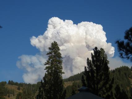 Area Smoke Forecast
 Drought Monitor
 Air Quality
 Winter Weather
 Probabilistic QPF Experiment
 Submit a Storm Report