National Weather Service United States Department of Commerce

Showers and Storms in the East; Dangerously Hot and Dry in the West

A front will bring scattered showers and storms to portions of the Central and Eastern US. Severe storms are expected in parts of the Great Plains and Ozarks today. Meanwhile, dangerous heat will intensify across the Desert Southwest and Intermountain West. Elevated wildfire conditions will develop across portions of the Northern/Central Plains and air quality issues will persist in the Northwest. Read More >

Click a location below for detailed forecast.

Last Map Update: Thu, Aug 6, 2026 at 4:54:39 am PDT

Elevated Fire Weather Conditions through Sunday. Low daytime humidity values, locally breezy winds, and hot conditions will lead to easier fire starts across the northern Sacramento Valley, Burney Basin, and Foothills of the Sierra.
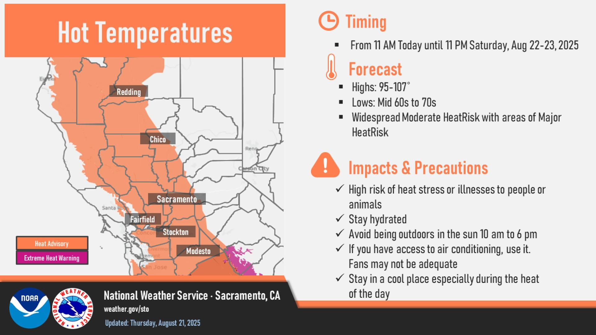
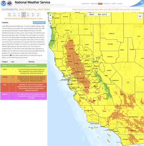
Widespread Moderate HeatRisk with areas of Major HeatRisk are in the forecast through Sunday across interior NorCal. Stay in a cool place during the heat of the day, and be sure to check on those most sensitive to heat.
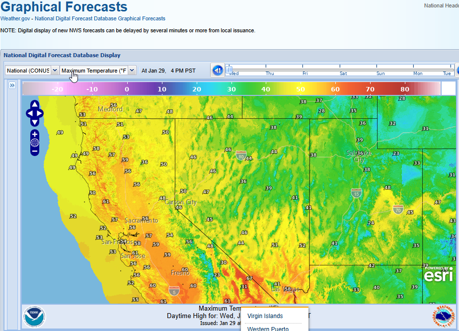
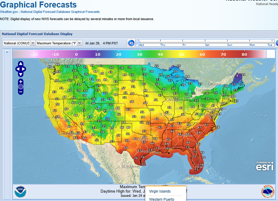
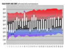
A look at the forecast temperatures the next 7 days across interior NorCal.
A look at the minimum relative humidities over the next 7 days. Hot and dry conditions are expected over the next several days.
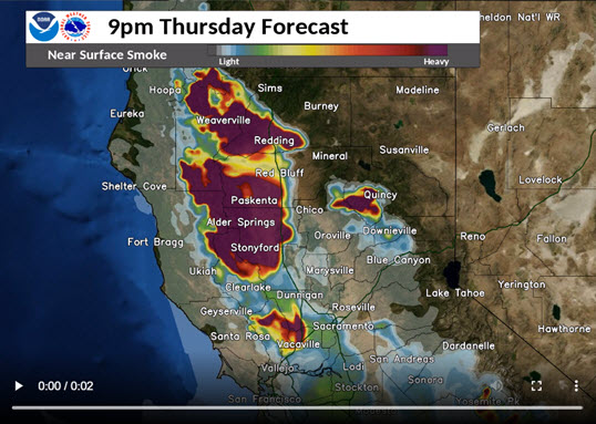
Protecting yourself from wildfire smoke. Check local air quality reports. Check on sensitive groups such as people with cardiovascular or respiratory diseases. Stay indoors if possible. Keep windows and doors closed. Use an air cleaner.


Text Product Selector (Selected product opens in current window)