A heat wave over the Southwest will intensify late week, peaking and expanding into the Intermountain West and northern High Plains this weekend. Severe thunderstorms and heavy rain are expected over portions of the Plains and Mississippi Valley tonight, which will shift to parts of the Upper Midwest and mid-Mississippi Valley Friday. Monsoonal showers and flooding persist in the Desert Southwest. Read More >
| 2020 Weather Highlights | The Year in Pictures | Top 5 Weather Stories | Hydrology & Drought Status | Fire Weather | Records & Extremes | Monthly Review | Severe Weather |


|
Monthly Review of Weather Events Across New Mexico in 2020
|
|
|
January 2020 was mostly drier than normal aside from the east central areas. Temperatures were mostly near to above normal. The biggest storm of the month was on the 16th to 17th when high winds, snow and freezing rain combined to impact much of central and eastern New Mexico. Otherwise, there were several weak disturbances that delivered mostly small amounts of snow and strong winds.
|
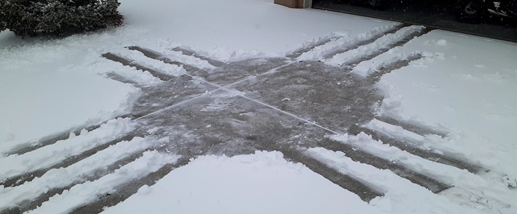
Zia in the snow - Rio Rancho January 17 - photo courtesy of Greg Hagman |
|
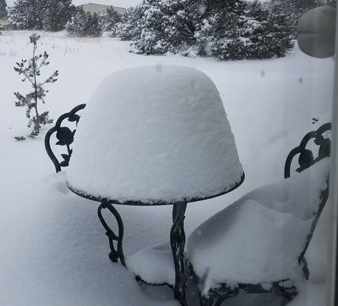
Sedillo snow February 11 - photo courtesy of Cheryl Stephens |
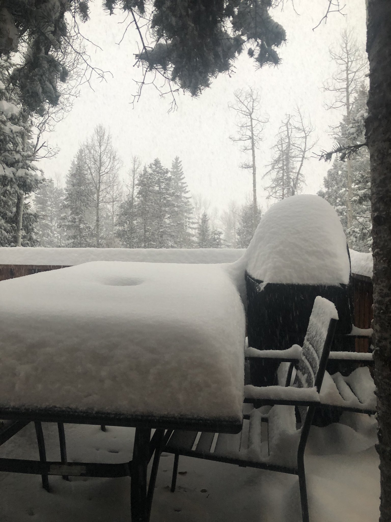
February 2020 was cooler than normal eastern New Mexico, near to above normal in the west. Precipitation was above normal except in the northwest and far east. Central and south central areas were particularly wet. There were two significant storms in the first half of the month. The first was on the 3rd to 5th with strong winds and widespread moderate snow occurred. The second storm was the 11th into the 12th with widespread snow again reported. It was relatively quiet the rest of the month. A storm delivered mostly light snow north of I-40 on the 23rd. |
|
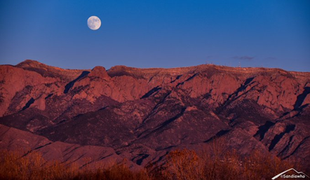
March 2020 was warmer than normal statewide, especially in the east. The precipitation was variable, with below normal in the northeast, near normal over central areas, and above to well above normal across the south.
Early March was pretty quiet, then a widespread rain and snow event impacted the state on the 12th and continued into the 14th. The first tornado of the season to strike NM occurred near Pleasant Hill on the 17th. Light snow fell on the 19th, then high winds swept through the state from the 26th to the 28th. |
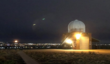
Moon setting in ABQ March 8 - photo from NWS ABQ
|
|
Clovis Snowfall April 14 - photo courtesy of Christi Vineyard |
April 2020 was mostly tranquil with relatively few windy days and no severe weather. Only one significant weather event impacted the region during the month. A late season winter storm on April 13-14, 2020 dumped widespread snowfall of 3 to 6” in the area from the Sandia and Manzano mountains eastward to Clovis and Portales. Locally heavier amounts over 12” were reported around Edgewood and Sandia Park. The month ended with very low humidity and record hot temperatures. |
|
May 2020 was much warmer and drier than normal across nearly all of New Mexico. In fact, this May was in the top ten driest and warmest on record. There were only three days when large hail was reported, the 10th, 16th and 25th. High winds struck on the 7th and 19th. Otherwise, it was pretty quiet and very warm for May, when severe weather can often strike the eastern plains |
Thunderstorms near Roy, May 10 - photo courtesy of Bryan Rutherford |
|
Near Nara Visa June 25 - photo courtesy @hodgenstein |
June 2020 was warmer and drier than normal. In fact, the temperatures were above to much above normal nearly everywhere. Only spotty near normal temperatures were noted in central and southwest New Mexico. It was the same story for precipitation with most areas below to much below normal, with portions of central and southwest New Mexico near or above normal. The weather was relatively tame compared to most Junes. There were just two periods of time that were active, from the 6th to 9th and 22nd to 24th. Most of the severe weather was high wind gusts from thunderstorm outflows, with not much large hail.
|
|
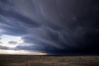
July 2020 was much warmer than normal, while precipitation was near to below normal, except above normal in the northeast. The first ten days of July were quiet by July standards. A weak tornado touched down west of Grenville in northeast New Mexico on the 4th and a flash flood was reported near Arabela in eastern Lincoln County. Isolated strong thunderstorm winds were reported on the 11th through 14th. Then severe weather struck the northeast on the 15th with large hail and even a landspout in Socorro County. The second half of July was much more active with high wind gusts from thunderstorm outflows on the 17th, and flash floods on the 19th. The worst was yet to come with widespread damaging winds on the 24th, flash floods on the 26th and widespread large hail on the 31st.
|
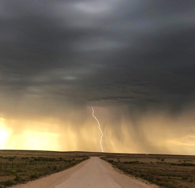
July 19, 2020 - Courtesy of Stephen Lee (Twitter) |
|
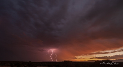
Near Sandia Knolls, NM | August 31, 2020 Photo courtesy of Kerry Jones |
It was an quiet August across New Mexico with little in the way of severe weather and flash flooding. There were only four reports of large hail, 2.00 inches in Buena Vista and 1.00 inch hail near Portales, Santa Fe and Sedillo. There was a flash flood in Lincoln County near Bonito Lake on the 5th, and in Union County on the 29th near Moses. Otherwise, there were a fair number of reports of thunderstorm and non-thunderstorm high wind and damaging wind events. August will be one of the warmest and driest August’s on record for the state. |
|
|
|
|
September 2020 was drier than normal across most of the state. Temperatures were above normal in the west, near normal central and below normal east. If it was not for the mega storm on the 8th through 10th, September would have been a benign, boring month. But this was a storm for the record books with widespread damaging winds on the 8th, northern mountains and east central highlands snow and record cold max and min temperatures on the early morning of the 9th through the early morning of the 11th. What was amazing were the widespread record highs on the 6th and 7th followed by record lows! Some record low max and min temperatures blew away previous records by double digits! Many record low temperatures were tied or broken! It was the earliest measurable snow at numerous locations! |
Albuquerque | September 2020 Photo courtesy of KRQE (Twitter) |
|
October 26 Taos Ski Valley – photo courtesy of Stephen Williamson-via Joe Diaz (Twitter) |
October 2020 was warmer in the west and central areas, but near to a little below normal in the east. Precipitation was below normal except for parts of the western and northern mountains and the far northeast. It was another crazy month in terms of records. Record high temperatures were set on multiple days during early and mid October, but record low temperatures (both minimum and lowest maximum) were also set near the end of the month. The big story of the month involved the epic winter storm on the 25th through 28th. Record snowfall was widespread, reminiscent of the storm in September. The month ended quietly with below normal to near normal temperatures and no precipitation.
|
|
November 2020 was warmer and drier than normal, following the pattern for much of the year. It was a fairly quiet month, unlike the wacky, record, and extreme weather in September and October. Light snow amounts were reported on the 8th through 9th. High winds impacted many areas on the 14th. Record warmth occurred on a few days around the middle of the month. Strong winds and mostly light snow occurred on the 23rd and 24th and more light snow fell on the 27th through 28th. |
November 29 Moonrise over the Bosque – photo courtesy of the Ventana Ranch Neighborhood Association |
|
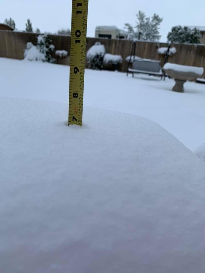
Sedillo, NM Dec 12 – Courtesy Amy Marsh (Twitter) |
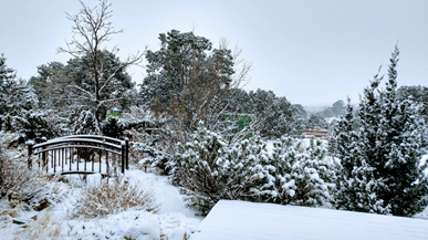
December 2020 was warmer and drier than normal. Early December brought a storm system across southern New Mexico on the 1st and 2nd with mostly light snow outside the high mountains. The exception was far northern Albuquerque and Rio Rancho, as several locations reported 6 to 8 inches of snowfall. Moderate snow fell over northern and central New Mexico from the 10th to the 11th and from the 12th to 13th. A weaker disturbance cross the state on the 15th with light snow reports in the north. Strong winds blasted the area on the 22nd and 23rd, then a final storm of the year brought light to moderate snow to the north and west, as well as light freezing rain and freezing fog to the eastern plains on the morning of the 29th.
|
| (Return to the main page) |