
Scattered thunderstorms with severe gusts, hail and a tornado risk are possible near a cold front from the Ohio Valley to the Mid-Atlantic tonight. Tropical Storm Bertha is expected to bring tropical storm conditions to portions of the Gulf Coast from the panhandle of Florida into Louisiana through Wednesday. Read More >
|
Min |
 |
|
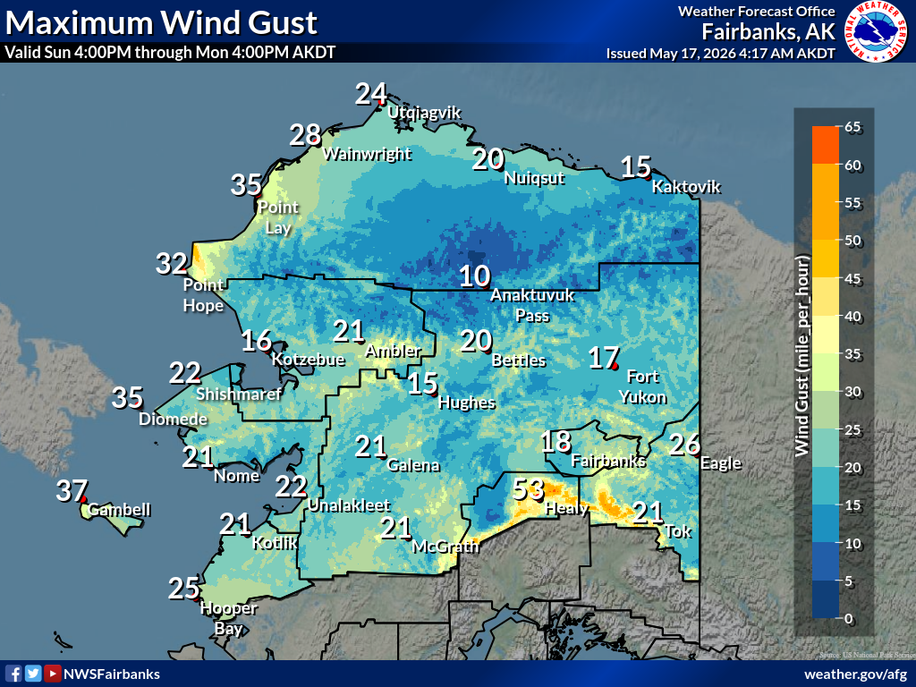
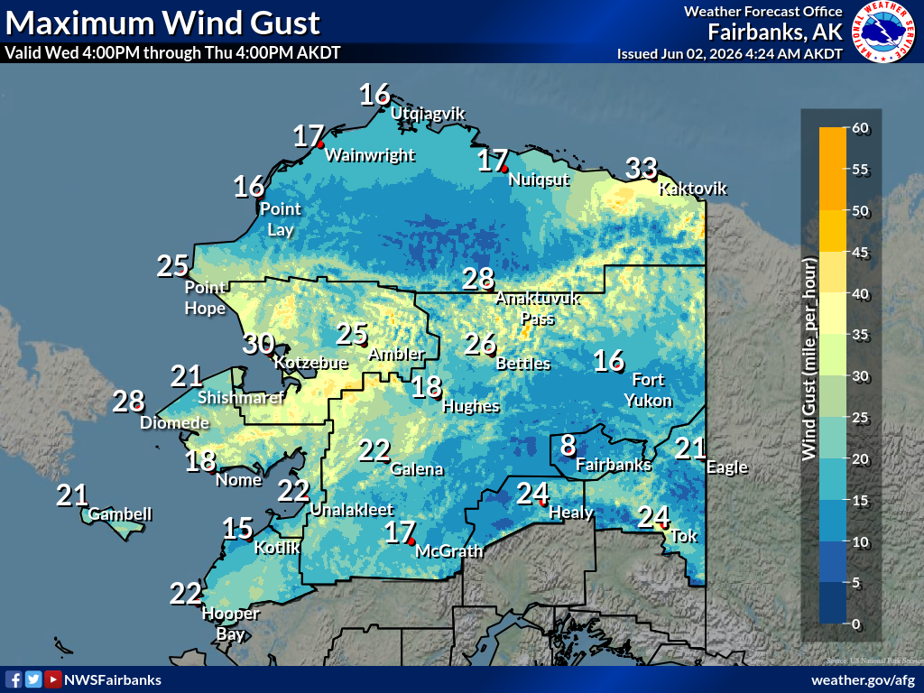
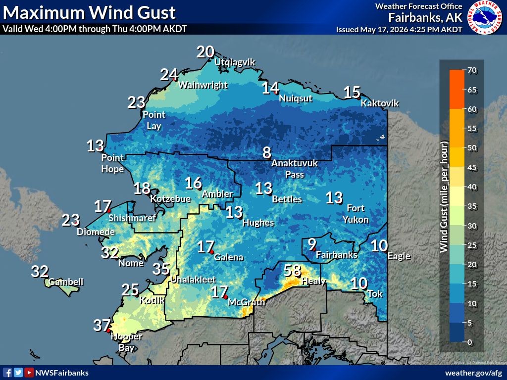
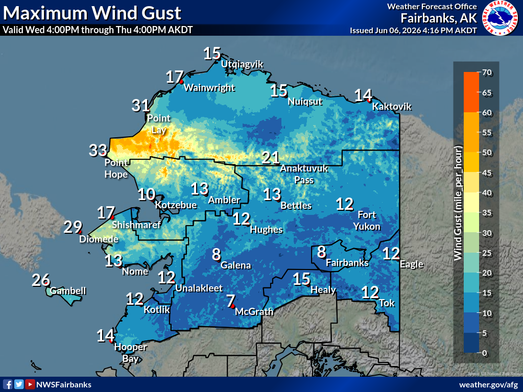
Maximuum
Maximum |
 |
|
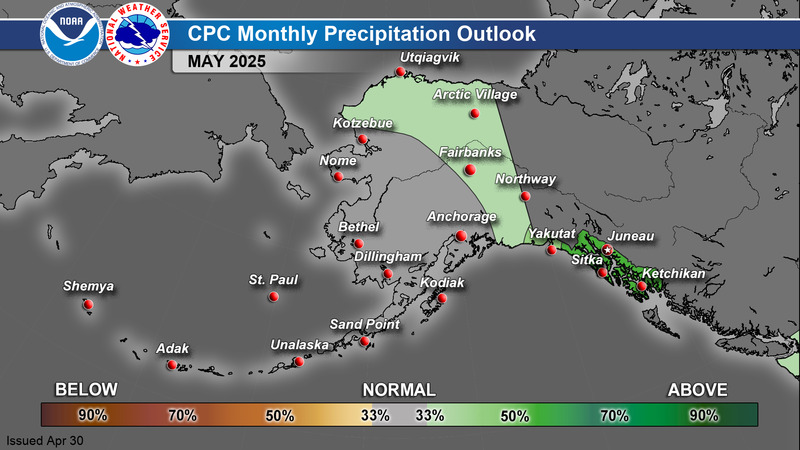
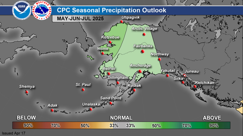
Precipitation
Precipitation |
 |
|
Probability |
 |
|
Snowfall
Snowfall |
 |
|
Ice Accum
Ice Accum |
 |
|
Min RH |
 |
|
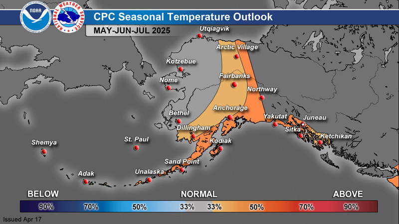
Maximuum
Maximum |
|
|
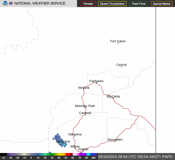
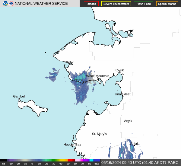
Radar Current Current Current |
 |
|
Radar Current Current Current |
 |
|
Satellite.... |
 |
|
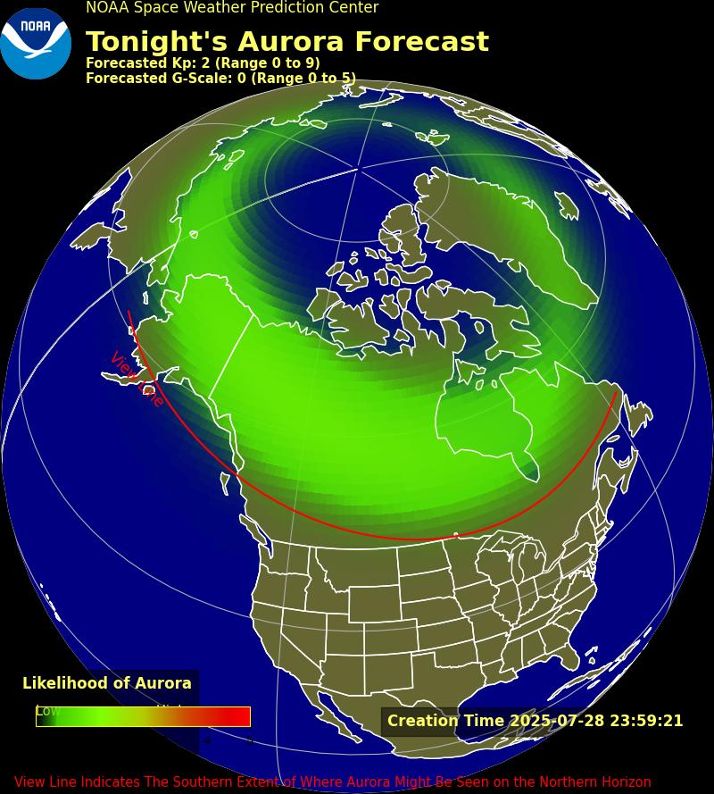
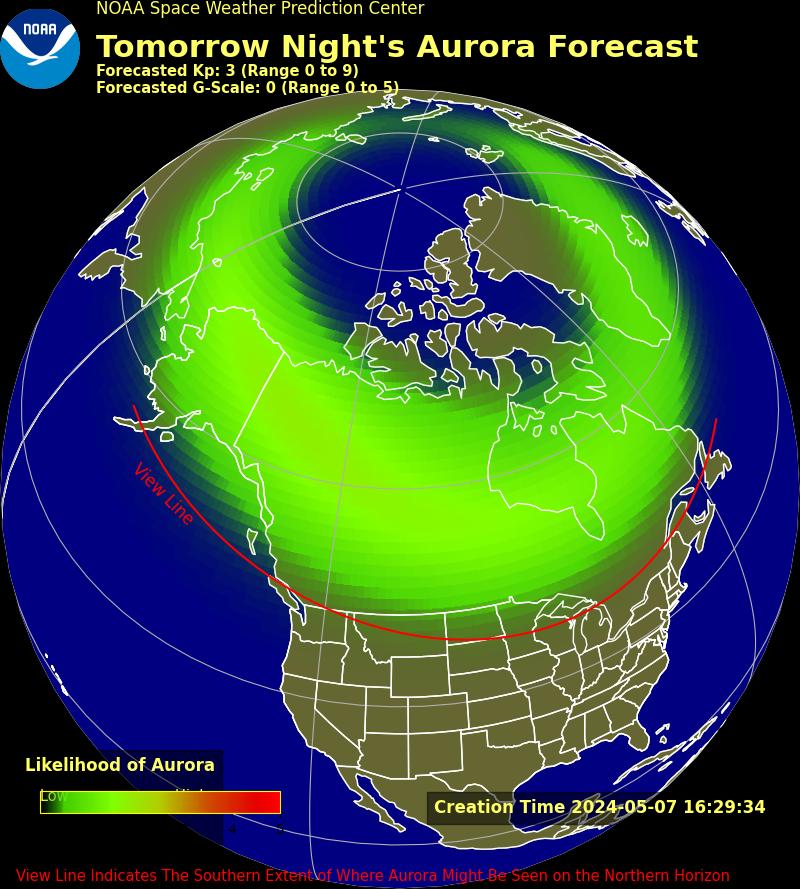
Aurora 30 Minute 3 Day 27 Day Planetary UAF Aurora |
 |
|
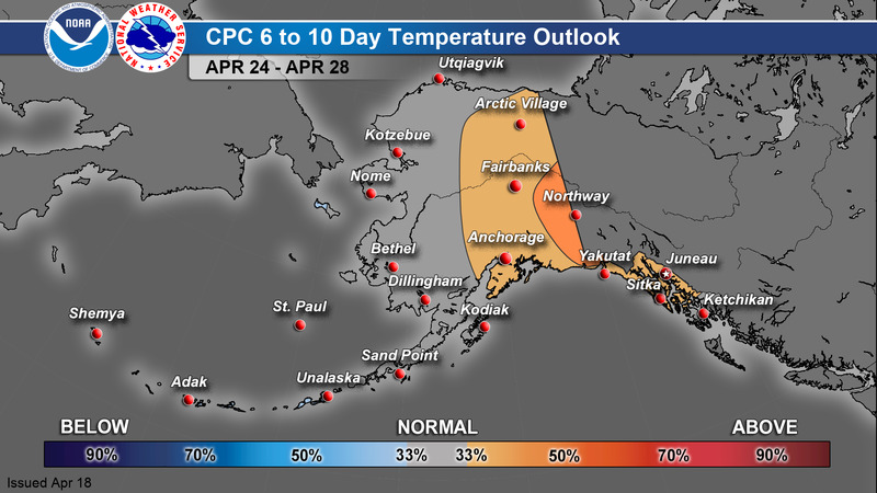
6-10 Day
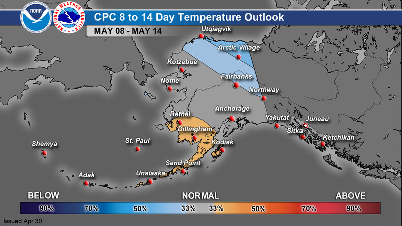
8-14 Day
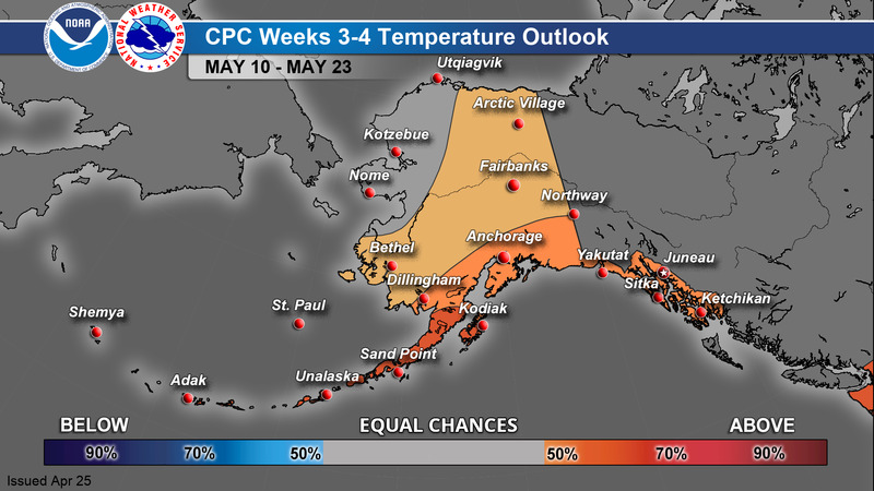
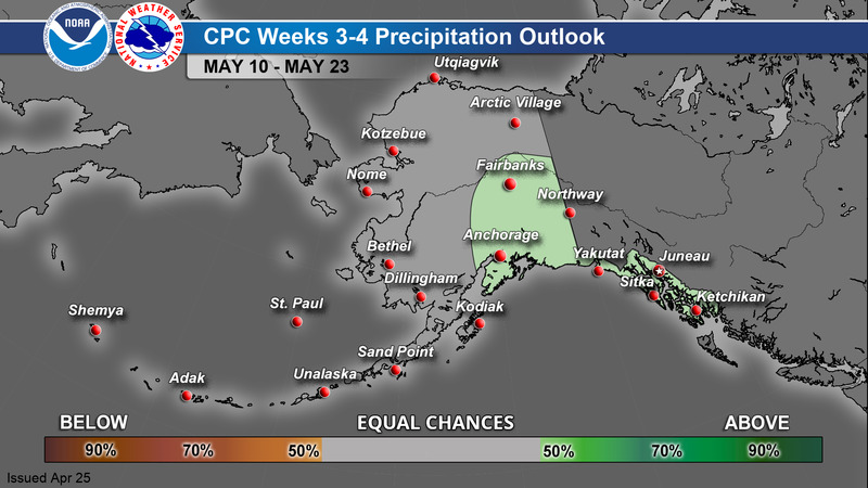
Weeks 3-4
Monthly
Season |
 |
Current Conditions - Map
Current Conditions - Table
Current Snow Depth
Alaska Interagency Coordination Center - Fire Weather
GOES-West Satellite Imagery
Space Weather Prediction Center - Aurora Dashboard
Alaska Sea Ice Program (ASIP)
Alaska River Gauge - Map
Alaska Earthquake Center
Alaska Volcano Observatory
National Tsunami Warning Center
Climate Prediction Center

