Deep tropical moisture will lead to widespread showers and thunderstorms capable of producing flash flooding through early next week over the Southwest and Four Corners. A coastal storm is expected to impact the southeast U.S. coast and mid-Atlantic regions with flooding, dangerous rip currents, gusty winds and heavy rain up much of the East Coast through early next week. Read More >
| Snow Amount Potential
|
|
| Expected Snowfall - Official NWS Forecast
Point Range
What's this?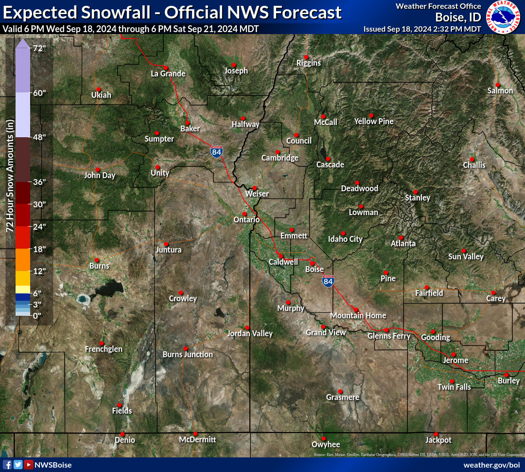 |
High End Amount 1 in 10 Chance (10%) of Higher Snowfall 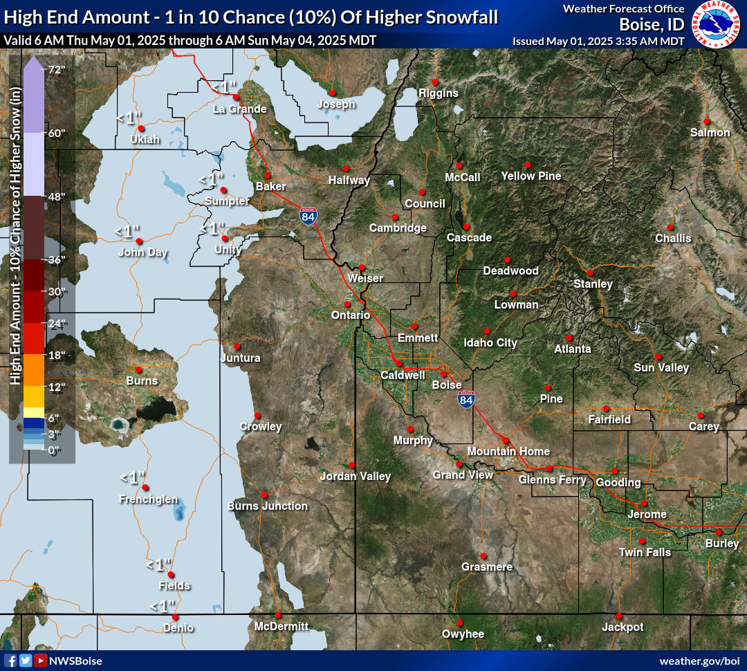 What's this? |
| Low End Amount 9 in 10 Chance (90%) of Higher Snowfall  What's this? |
|
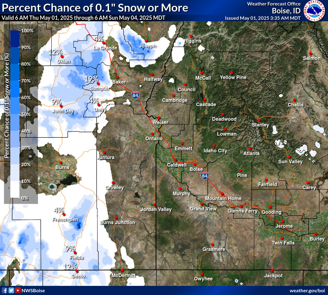
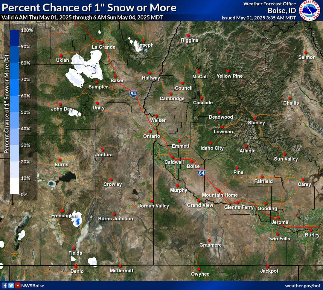
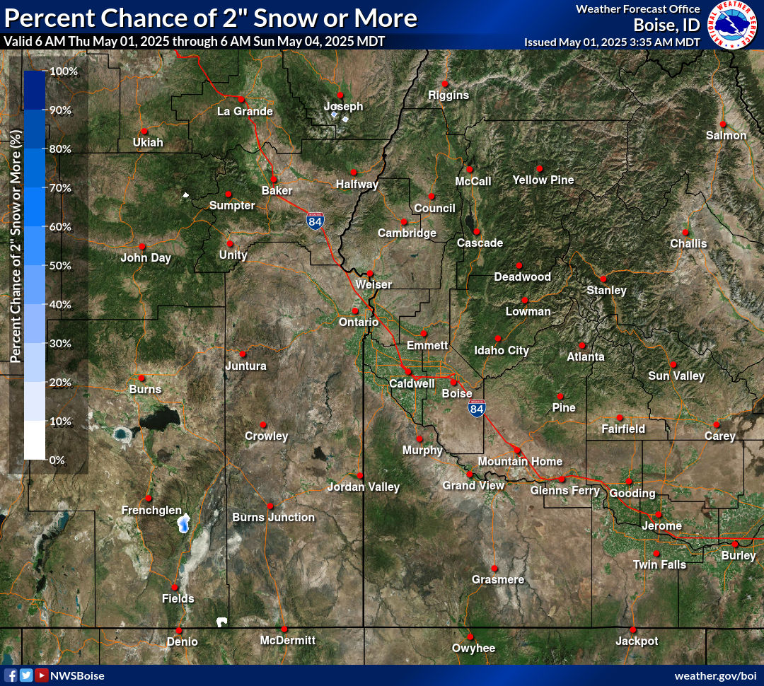
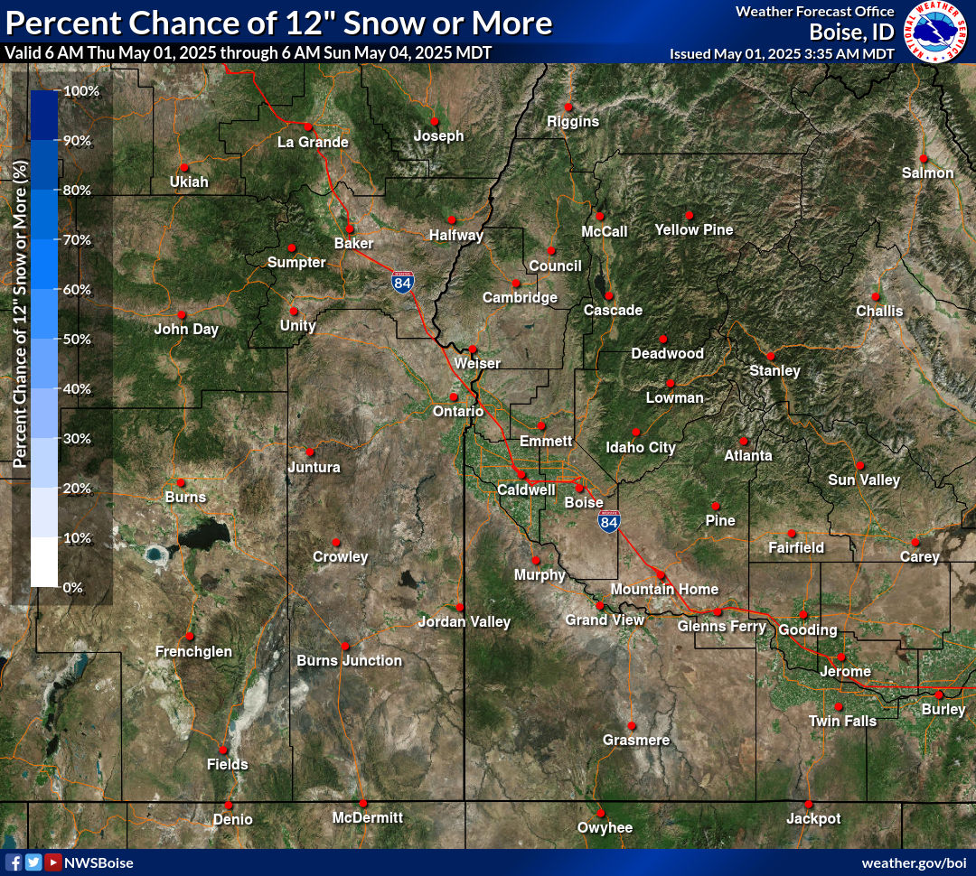
| Percent Chance That Snow Amounts Will Be Greater Than...
|
||||||||||||||||
|
||||||||||||||||
| Snowfall Totals by Location
|
|
|
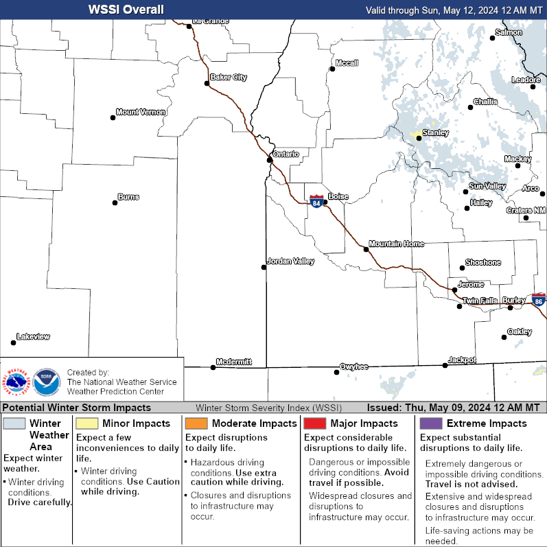
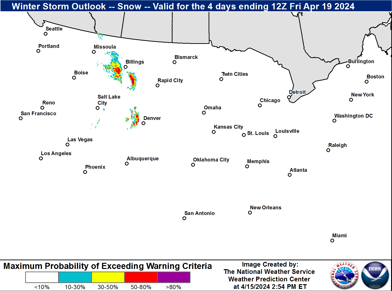
| Winter Storm Severity Index (WSSI) | Winter Storm Outlook (WSO) |
|---|---|
 |
 |
| National Snow Reports | National Snowfall Analysis |
|---|---|
 |
 |
| Days 4-7 Winter Weather Outlook | |
| Day 4 Winter Weather Outlook | Day 5 Winter Weather Outlook |
 |
 |
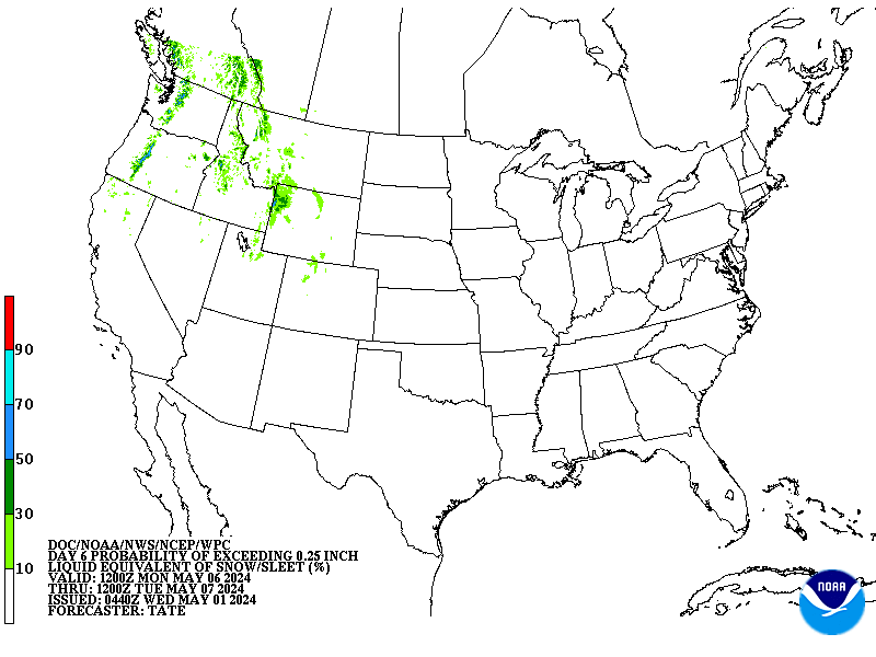
| Day 6 Winter Weather Outlook | Day 7 Winter Weather Outlook |
 |
 |
| CPC Week-2 Experimental Heavy Snow Risk | |
 |
|
| CPC Temperature & Precipitation Maps | |
|
Days 6-10 |
|
| Temperature | Precipitation |
 |
 |
|
Days 8-14 |
|
| TEMPERATURE | PRECIPITATION |
 |
 |
|
Week 3-4 |
|
|
TEMPERATURE |
PRECIPITATION |
 |
 |