Tropical Depression Two is expected to gradually strengthen and could bring tropical storm conditions to the Florida Panhandle beginning late Monday. Areas of flash flooding will be possible through Thursday along the eastern and central Gulf Coast. Severe thunderstorms will develop and move along a cold front crossing the Upper Midwest Monday, and through the Ohio Valley/Mid-Atlantic on Tuesday. Read More >
Boise, ID
Weather Forecast Office
Regional Web Cameras
National Weather Service Boise Rooftop
Temporarily offline
Caldwell Industrial Airport
|
|
|
|
| Looking NW (Courtesy of the City of Caldwell) | Looking E (Courtesy of the City of Caldwell) |
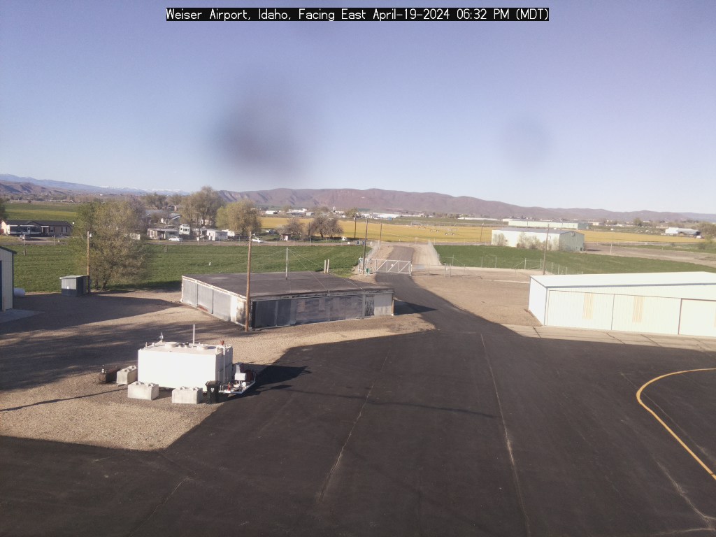
Weiser Airport
|
|
|
|
| Looking E (Courtesy of the City of Weiser) | Looking SW (Courtesy of the City of Weiser) |
|
|
|
Looking East |
|
|
|
Looking Northwest (Courtesy of the City of McCall) |
|
|
|
|
| Looking North (Courtesy of Eye-n-Sky LLC) | Looking South (Courtesy of Eye-n-Sky LLC) |
|
|
|
|
| Looking Southwest (Courtesy of Reeders) | Looking Southeast |
Baker City Airport
|
|
Burns Airport
|
Temporarily offline |
US Dept of Commerce
National Oceanic and Atmospheric Administration
National Weather Service
Boise, ID
National Interagency Fire Center
3833 S. Development Ave., Bldg 3807
Boise, ID 83705-5354
(208) 334-9860
Comments? Questions? Please Contact Us.