 |
|||
 |
 |
 |
 |
|
|
 Graphical Fire Weather Forecast |
 Hourly Weather Graph |
 |
 |
 |
 |
 Northeast Drought Monitor |
 U.S. Drought Monitor |
|
 Seasonal Drought Assessment |
 Palmer Drought Severity |
 Rain Needed to End Drought |
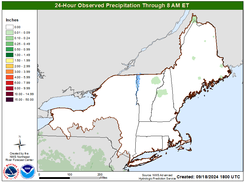
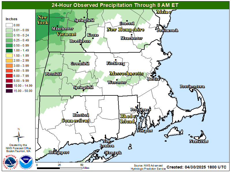 24-Hr Observed Precip |
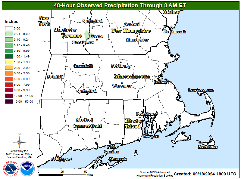 48-Hr Observed Precip |
 24-Hr Observed Precip |
 48-Hr Observed Precip |
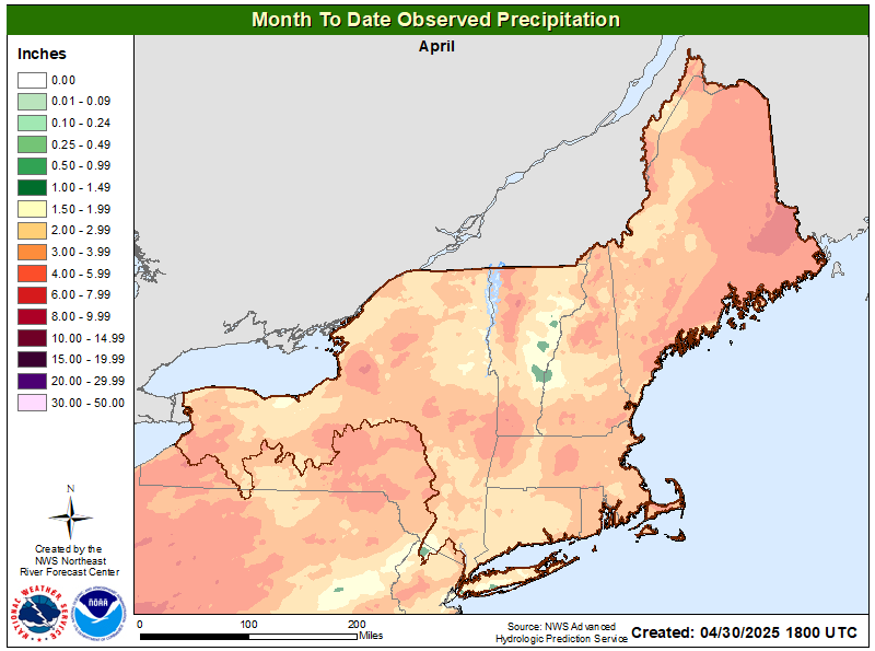
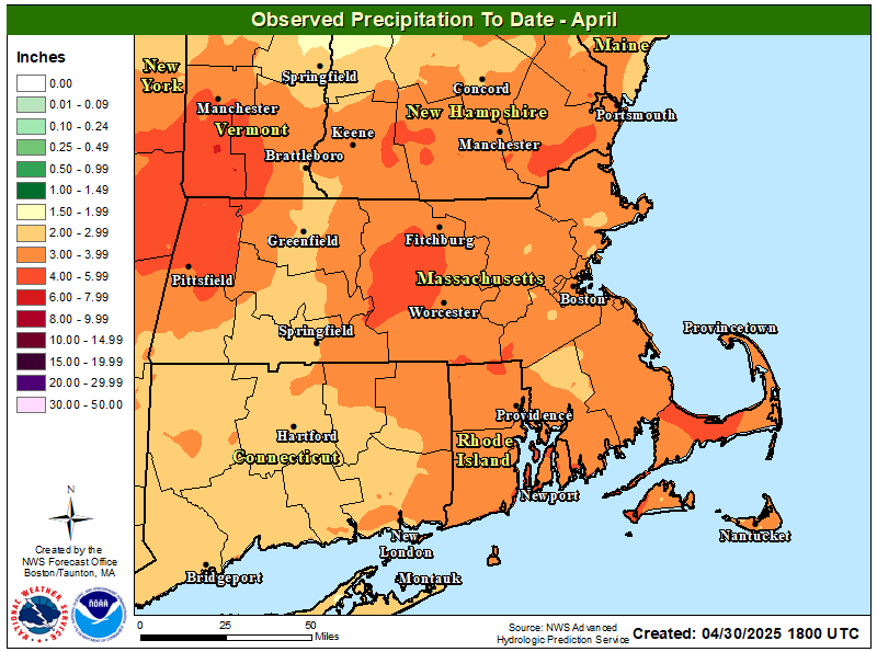 Month to Date Precip |
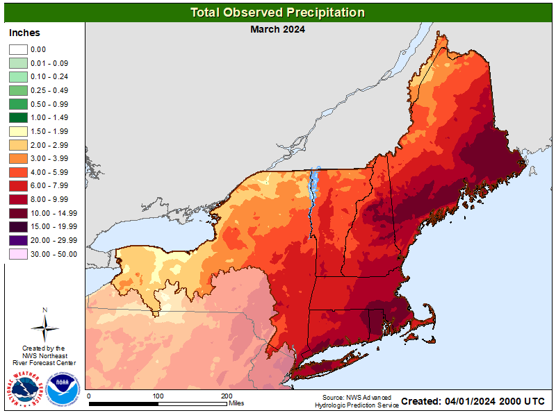
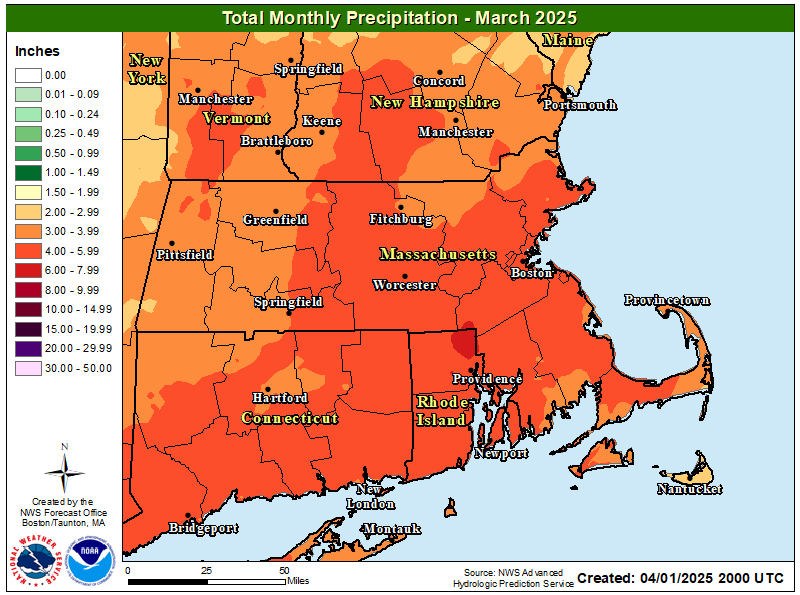 Total Mo. Obs. Precip |
 Month to Date Precip |
 Total Mo. Obs. Precip |
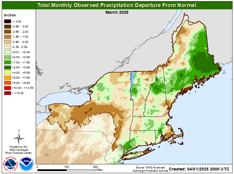
 Total Mo. Obs. Precip Depart |
 Total Mo. Obs. Precip Depart |
 7-Day Precip |
 14-Day Precip |
 30-Day Precip |
|
 60-Day Precip |
 90-Day Precip |
 Since April 1 Precip |
 Since July 1 Precip |
 6-Month Precip |
 12-Month Precip |
 24-Month Precip |
 36-Month Precip |
 Month-to-Date Precip |
 Year-to-Date Precip |
 Water-Year Precip |
 7-Day Precip Dept |
 14-Day Precip Dept |
 30-Day Precip Dept |
|
 60-Day Precip Dept |
 90-Day Precip Dept |
 Since April 1 Precip Dept |
 Since July 1 Precip Dept |
 6-Month Precip Dept |
 12-Month Precip Dept |
 24-Month Precip Dept |
 36-Month Precip Dept |
 Month-to-Date Precip Dept |
 Year-to-Date Precip Dept |
 Water-Year Precip Dept |
 7-Day Precip % Norm |
 14-Day Precip % Norm |
 30-Day Precip % Norm |
|
 60-Day Precip % Norm |
 90-Day Precip % Norm |
 Since April 1 Precip % Norm |
 Since July 1 Precip % Norm |
 6-Month Precip % Norm |
 12-Month Precip % Norm |
 24-Month Precip % Norm |
 36-Month Precip % Norm |
 Month-to-Date Precip % Norm |
 Year-to-Date Precip % Norm |
 Water-Year Precip % Norm |
 24-Hour Snowfall |
 Current Snow Depth |
Additional Resources:
Precipitation Mapper 6-10 Day Temp |
 6-10 Day Precip |
 8-14 Day Temp |
 8-14 Day Precip |
 One Month Temp |
 One Month Precip |
 Three Month Temp |
 Three Month Precip |
 Current Fire Potential |
 One Month Outlook |
 Two-Three Month Outlook |
 Observed |
 Forecast |
 Active Fire Incidents |
Additional Resources:
GACC Eastern Area Weekly Outlook| Eastern Area Coordination Center: Wildland Fire Assesment System: |