National Weather Service United States Department of Commerce

Atmospheric River Bringing Heavy Rain to Southern California and Heavy Snow to the Sierra Nevadas

A strong atmospheric river will continue heavy rain over southern California through Friday. The heaviest rainfall is ongoing today in the Los Angeles Basin. Flash and urban flooding is possible. A prolonged heavy snowfall has begun over the Sierra Nevada Mountains and will continue through Friday. Travel will become increasingly difficult over the passes due to snow and strong winds. Read More >

Click a location below for detailed forecast.

Last Map Update: Fri, Dec 26, 2025 at 6:04:42 am EST


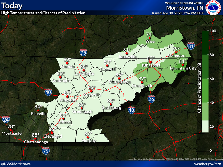
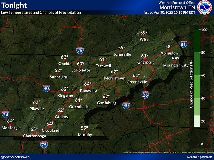
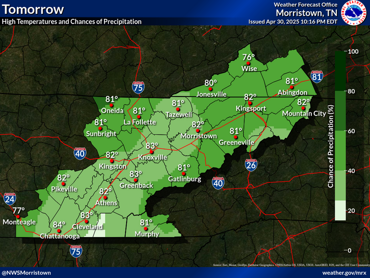
Christmas Week Forecast. Unseasonably warm temperatures the next 3 days. Highs 20 degrees above normal.
Unseasonably warm conditions continue through the weekend. A series of upper level disturbances bring a chance of light rain showers from today and tonight across southwest Virginia and northeast Tennessee. Widespread showers are expected late Sunday night and Monday morning as a strong cold front moves across the region. Much colder air anticipated for early next week.

 Current Weather Observations...
Location Time
(EST)
Weather Vsby.
(SM)
Temp.
(ºF)
Dewpt.
(ºF)
Hum.
(%)
Wind
(mph)
Wind Chill / Heat Index
(ºF)
Pres.
(in)
Abingdon VA05:55Mist25555100SW 5-30.04
Andrews-Murphy NC05:34Light Drizzle5535193CALM-30.09
Chattanooga TN05:53Mostly Cloudy10605892CALM-30.04
Crossville TN05:53Overcast8605996VRB 5-30.02
Dalton GA05:55Overcast106060100SSE 5-30.06
Knoxville TN (McGhee-Tyson)05:53Overcast10585796SSW 3-30.01
Middlesboro KY05:55Overcast10545397CALM-30.01
Monroe Cnty TN05:55Overcast106060100SW 5-30.02
Morristown TN05:455757100-30.02
Oak Ridge TN05:53Overcast10595793CALM-30.02
Tazewell Cnty VA05:55Overcast10535296CALM-30.04
Tri-Cities TN05:53Mist5535296CALM-30.03
Wise VA05:55Overcast105353100S 8-30.03
Greeneville, TN05:55Overcast10575593CALM-30.02


Local Weather History For December 26th...
In 2012, high wind hit the mountains. Gusts up to 73 mph did $48,000 wind damage.


Briefing Hydrology Past Weather Events Graphical Hazardous Weather Outlook for East Tennessee East Tennessee Observations
Decision Support Hydrology Past Weather Events GHWO Observations Gridded Forecast
Daily Climate for Middle Tennessee Local East Tennessee Climate Tornado Database Tropical Weather Information NOAA Weather Radio
IDSS Point Forecasts Daily Climate Local Climate Tornado Database Tropical Weather Radio
Daily Climate for Middle Tennessee Probabilistic Data for East Tennessee Virtual Tour of the NWS Morristown Office Skywarn Spotter Training for East Tennessee  
Being Prepared Estar Perparado Probabilistic Virtual Tour Spotter Training