A cold spring storm will bring rain and high mountain snow to Del Norte, Humboldt, Trinity and portions of Mendocino and Lake Counties Wednesday into Thursday. Snow levels will initially start out near 5000 to 5500 feet on Wednesday and then fall to 3500 to 4000 feet Wednesday evening. Eventually, snow levels will plummet to 2500 to 3000 feet by Thursday morning. Most of the snowfall is forecast above 4000 feet with up to 16 inches expected for the Del Norte County mountains and Trinity Alps. 4 to 6 inches of snow accumulation is expected on highway 3 at Scott Mountain Pass by Thursday morning. Slippery driving conditions on highway 3 at Scott Mountain Pass will make travel very difficult and you should plan accordingly. Be prepared for slippery driving conditions. Carry tire chains and be ready for delays.


 Satellite
 Weather Map
 Forecast Weather Tables
 Monthly Past Weather Graphs
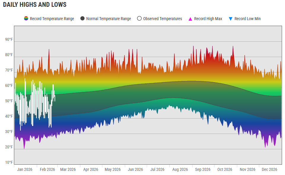 Yearly Past Weather
 Become A Rain/Snow/Hail Observer
 TsunamiReady
 Water Temperatures for NW California
 NW CA Mtn Pass Forecasts
 NW CA Daily Graphicast
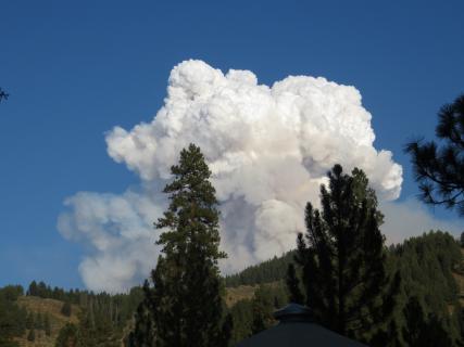 Area Smoke Forecast
 Drought Monitor
 Air Quality
 Winter Weather
 Probabilistic QPF Experiment
 Submit a Storm Report