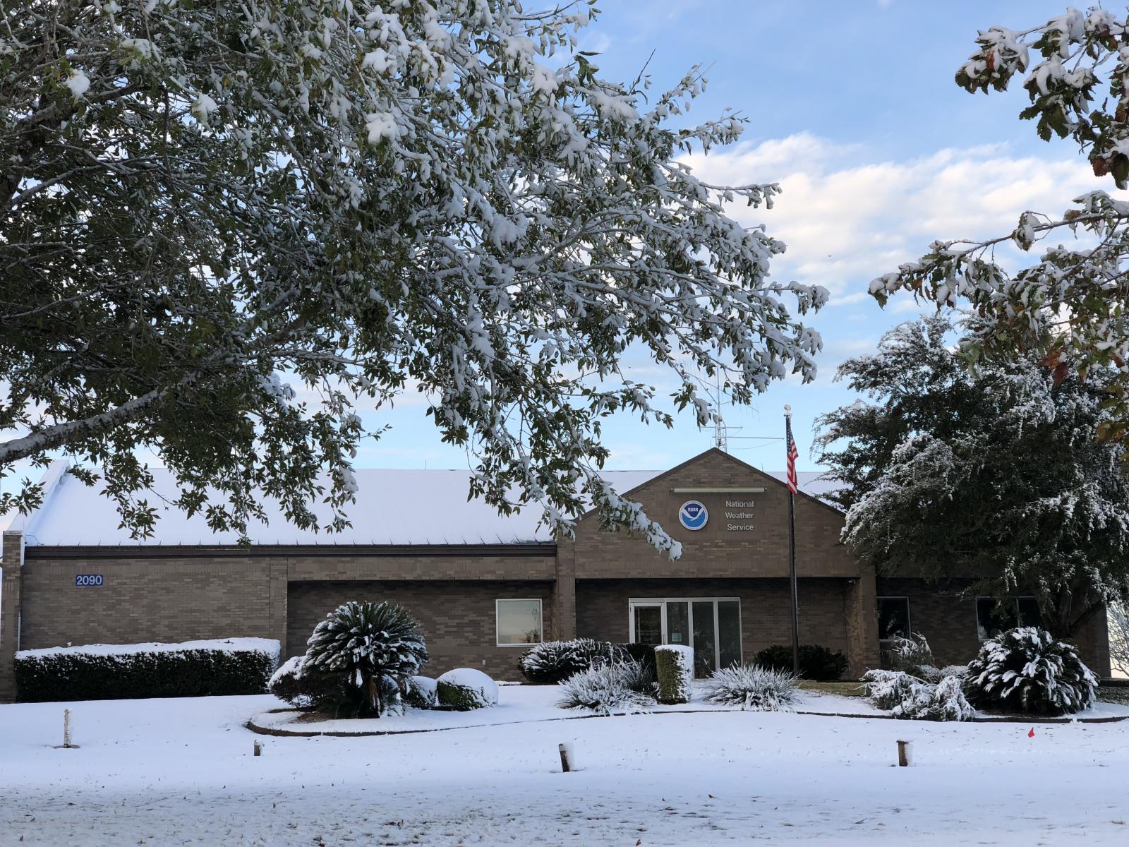
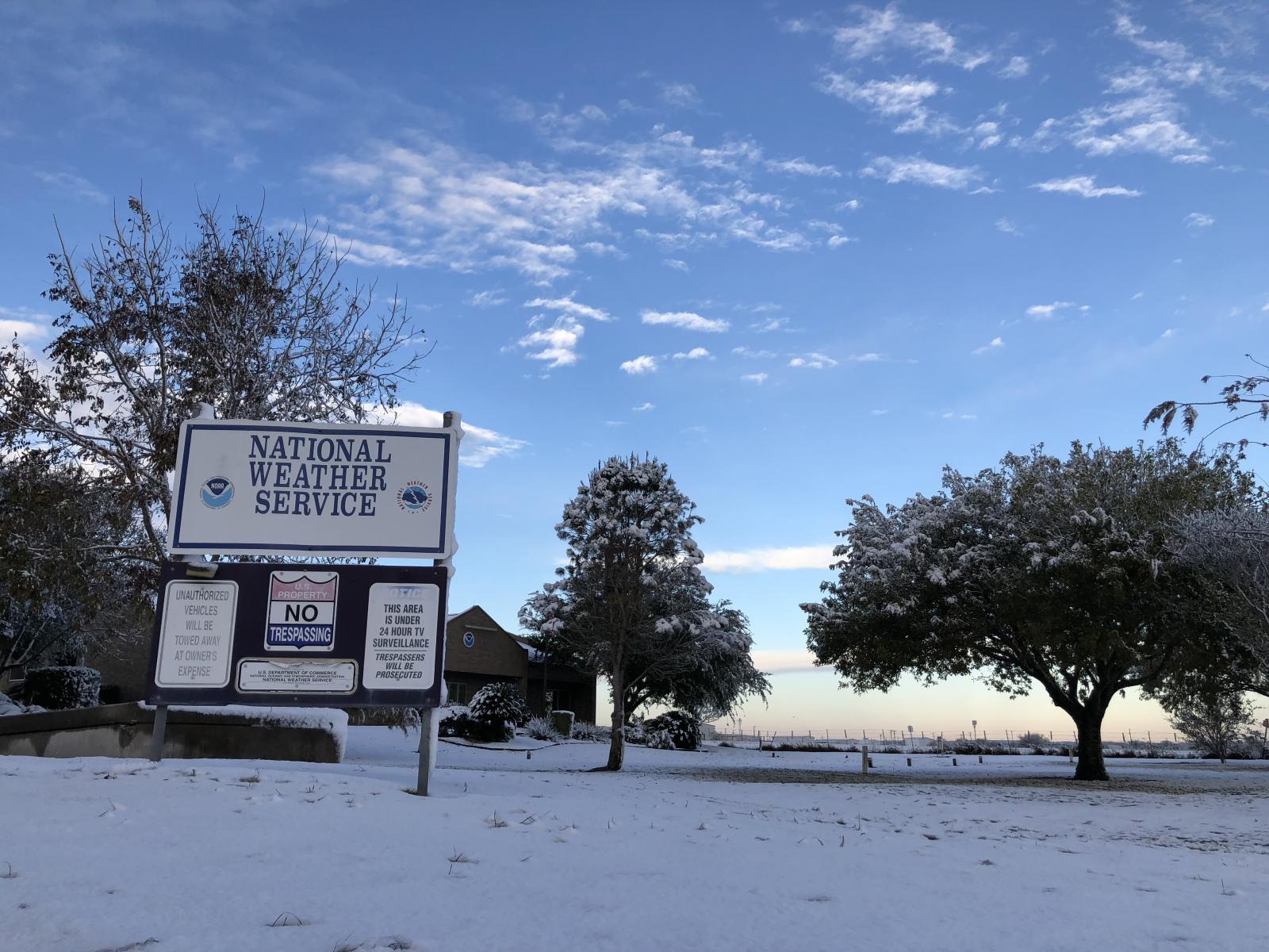
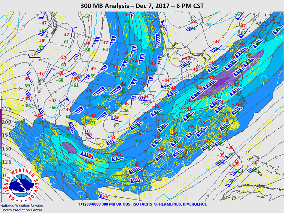
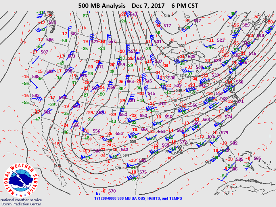
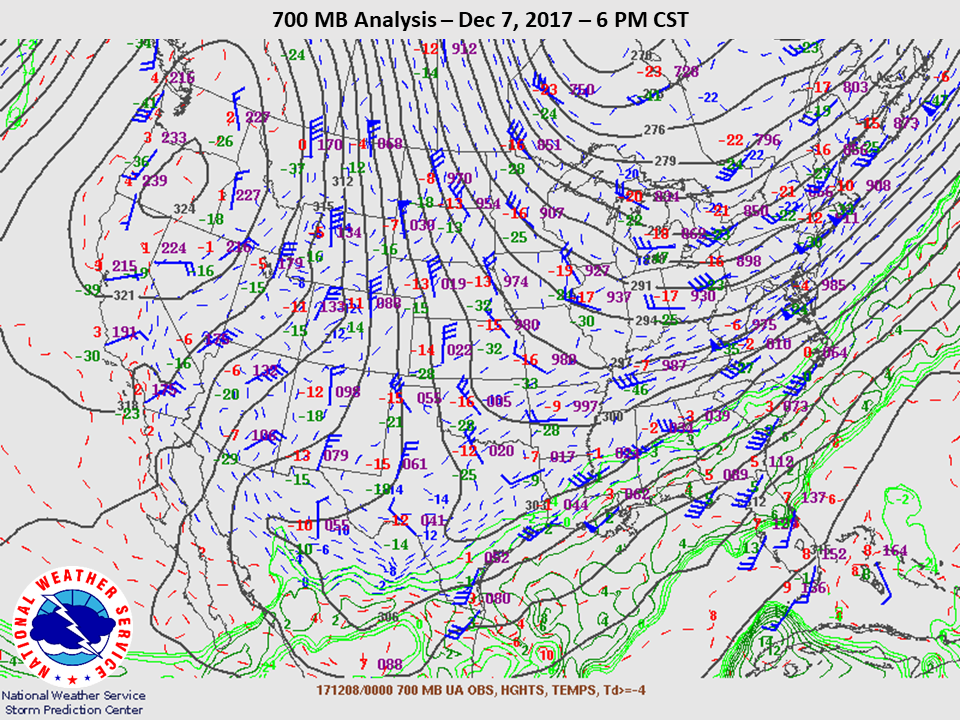
On Tuesday, December 5th a strong cold front moved through South Central Texas. After record highs in the mid 80s on Monday, December 4th temperatures plummeted into upper 30s and low 40s on December 5th. A strong upper level trough axis on Wednesday, December 6th generated a cold rain across much of South Central Texas. Late that night and into Thursday morning December 7th, as the trough axis and deeper cold air moved south, a changeover to sleet and snow occurred across the southern Edwards Plateau and Rio Grande Plains. This prompted Winter Weather Advisories to be issued for this region as light accumulations of snow and ice began to occur with temperatures dipping into the low 30s. A changeover back to rain occurred on the afternoon of December 7th.
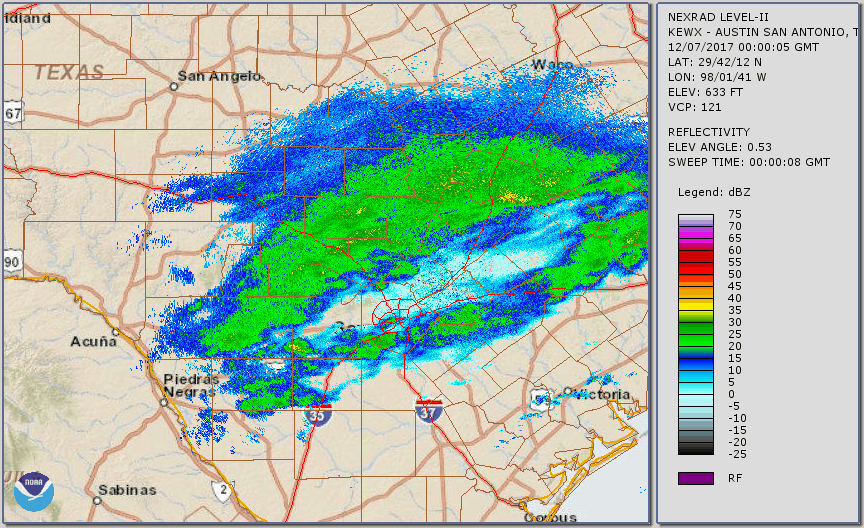
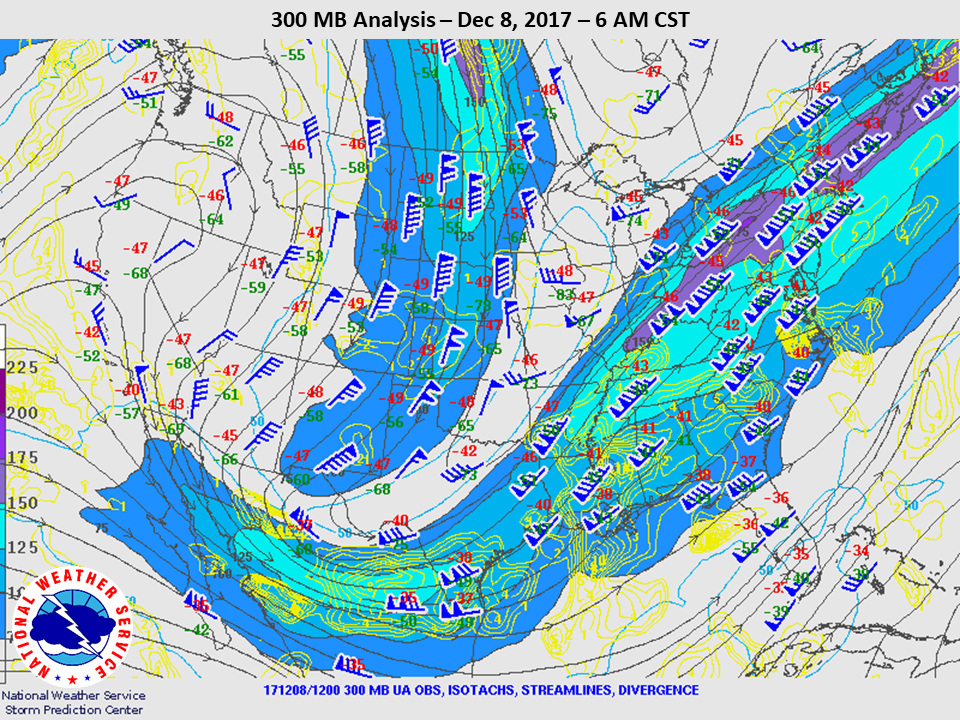
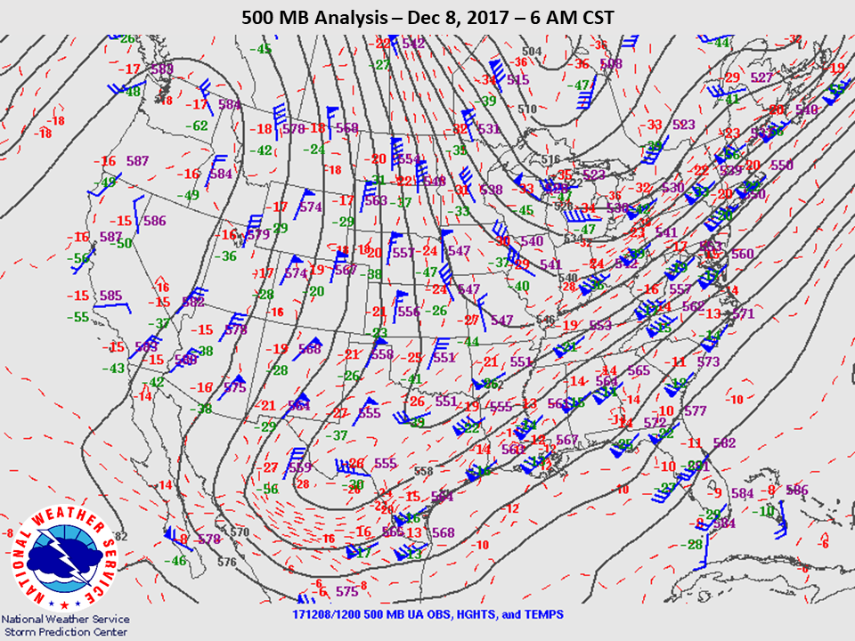
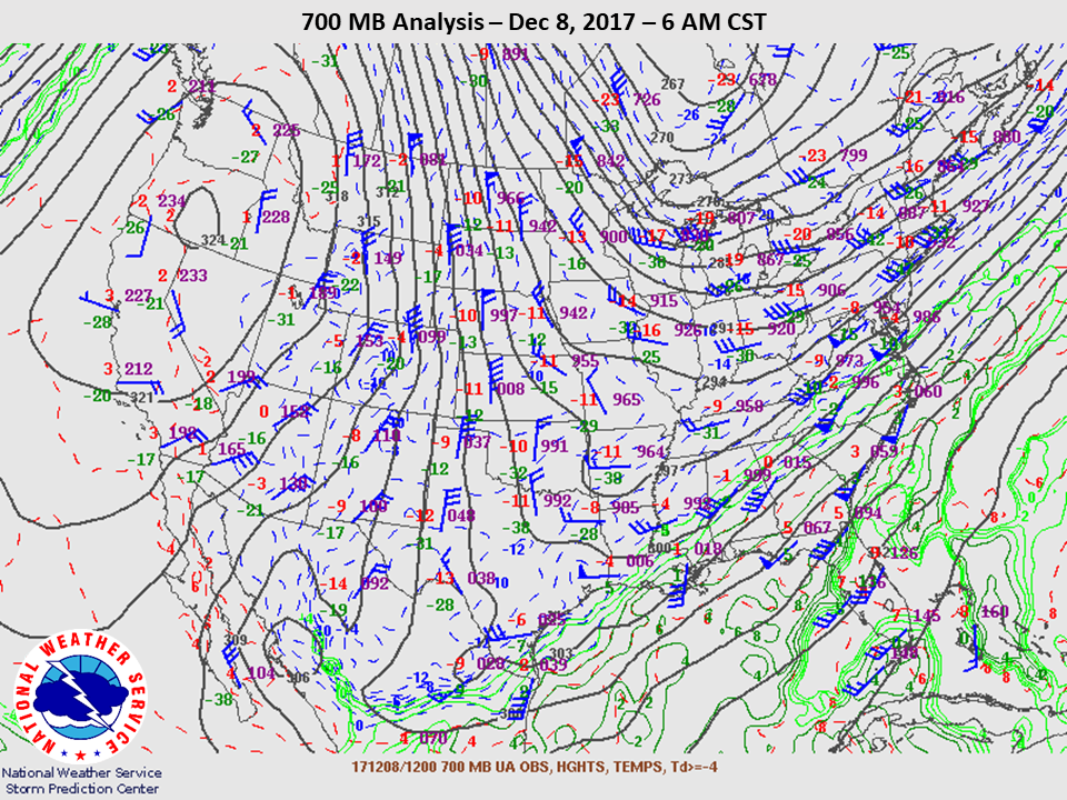
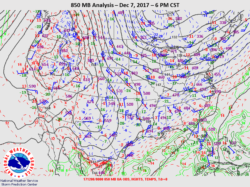
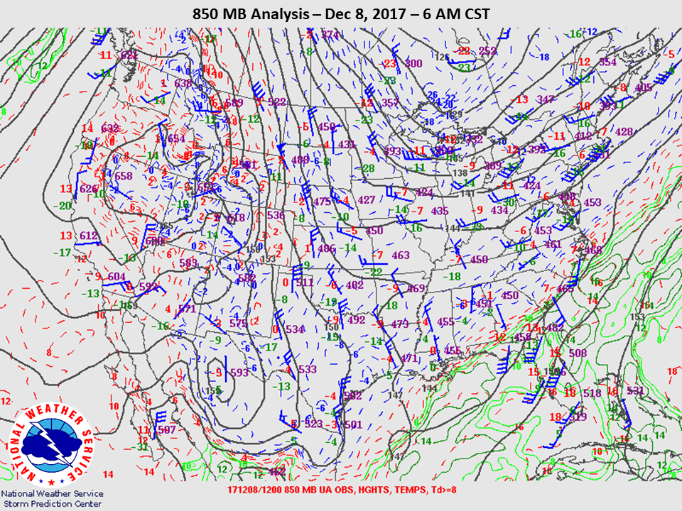
As the final piece of upper level support approached the region on the evening of December 7th a band of heavier precipitation developed through portions of the eastern Hill Country and moved east through the I-35 corridor and into the Coastal Plains. This band was generated from small scale processes under the influence of the upper trough and elevated cold front. Temperatures that had been above freezing throughout the rain event quickly lowered to freezing as strong lift helped cool the atmospheric column, allowing the snow aloft to make it all the way to the surface without melting. For a brief time during the evening of December 7th and into the early morning hours of December 8th many locations near and east of I-35 experienced a heavy burst of snow from this mesoscale band. A Winter Weather Advisory was issued for much of the southern and eastern Hill Country as well as along and east of I-35, including the cities of Austin and San Antonio.
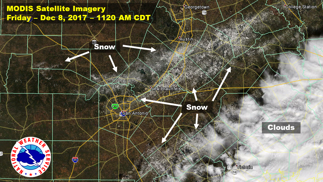
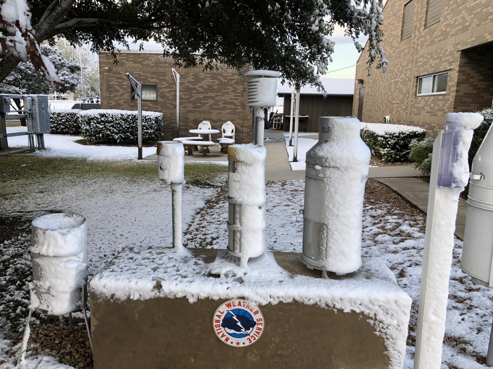
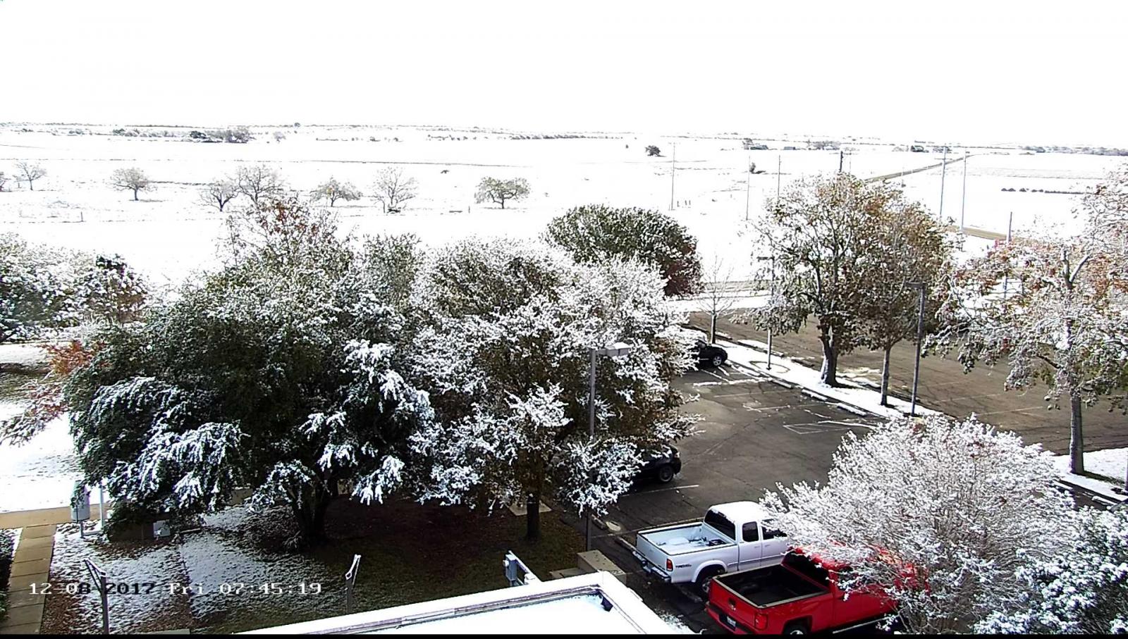
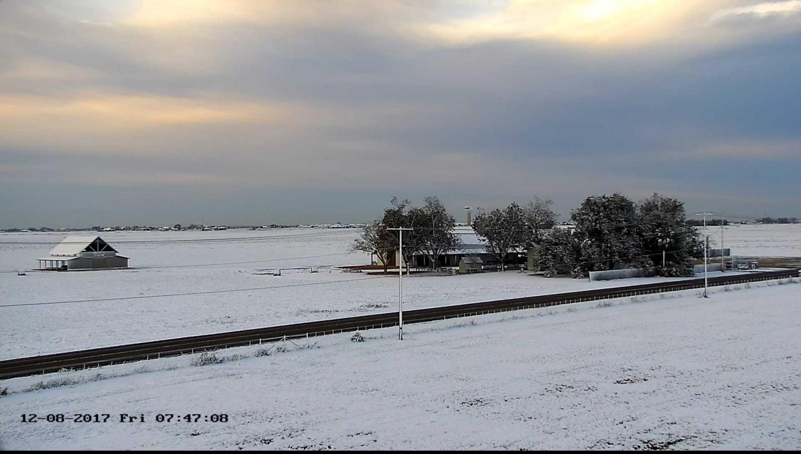
Snowfall accumulation the morning of December 7th and again the night of December 7-8 occurred mainly on grassy surfaces, vehicles, roofs, and other elevated structures. Snowfall accumulation on roadways was limited to lesser traveled roadways across the Hill Country as well as a few elevated bridges and overpasses along and east of the I-35 corridor. A few minor vehicle accidents were reported throughout the region as well as one major fifteen vehicle accident in San Antonio on an icy, elevated bridge the morning of the 8th.
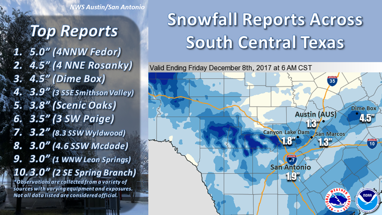
Snowfall totals ranged from a trace to up to 5 inches across South Central Texas. The I-35 corridor and portions of the southern Hill Country generally experienced between 1 and 2 inches of snow, with isolated pockets of 2 to 4 inches. The San Antonio International Airport officially recorded 1.9 inches of snow, the highest snowfall total since the historic January 12-13, 1985 blizzard that produced 13.5 inches. 1.3 inches was officially recorded at Austin Bergstrom International and 0.4” at Austin Camp Mabry.
Prior to this event the last measurable snowfall observed was February 6, 2014 at San Antonio International, February 4, 2011 at Austin Bergstrom, and January 22-23 at Austin Camp Mabry. The December 7-8 snow event ranks as the second earliest snowfall on record at San Antonio International (earliest was November 23, 1957) and the 4th earliest for the Austin area (earliest was November 14, 1959).
Public Information Statement
National Weather Service Austin/San Antonio TX
1111 AM CST Fri Dec 8 2017

...24 Hour Snowfall Amounts...

Location                     Amount    Time/Date       Provider

...Texas...

...Atascosa County...
Pleasanton #2                1.0 in    0800 AM 12/08   COOP

...Bandera County...
1 NNE Lakehills              2.2 in    0800 AM 12/08   COCORAHS
Medina                       0.2 in    0700 AM 12/08   COOP
1 SSE Medina                 0.1 in    0800 AM 12/08   COCORAHS

...Bastrop County...
4 NNE Rosanky                4.5 in    0800 AM 12/08   COCORAHS
3 SW Paige                   3.5 in    0700 AM 12/08   COCORAHS
Wyldwood 8.3 SSW             3.2 in    0800 AM 12/08   COCORAHS
Mcdade 4.6 SSW               3.0 in    0700 AM 12/08   COCORAHS
5 NNW Smithville             2.1 in    0800 AM 12/08   COCORAHS
2 NW Camp Swift              2.0 in    0730 AM 12/08   COCORAHS
Rockne 1.9 NNW               1.5 in    0800 AM 12/08   COCORAHS
4 SSE Circle D-KC Estate     1.5 in    0700 AM 12/08   COCORAHS
4 E Circle D-kc Estate       1.4 in    0700 AM 12/08   COCORAHS
4 NNW Smithville             1.0 in    0530 AM 12/08   COCORAHS
5 SE Bastrop                 1.0 in    0700 AM 12/08   COCORAHS

...Bexar County...
Scenic Oaks                  3.8 in    0700 AM 12/08   COCORAHS
1 WNW Leon Springs           3.0 in    0800 AM 12/08   COCORAHS
2 SW Timberwood Park         2.7 in    0700 AM 12/08   COCORAHS
Converse 1.6 NW              2.0 in    0700 AM 12/08   COCORAHS
San Antonio Intl Arpt        1.9 in    1200 AM 12/08   CWO/LCD
Castle Hills 0.7 NW          1.9 in    0620 AM 12/08   COCORAHS
2 WSW Leon Valley            1.5 in    0700 AM 12/08   COCORAHS
Helotes                      1.5 in    0700 AM 12/08   COCORAHS
Windcrest                    1.3 in    0700 AM 12/08   COCORAHS
Helotes 1.3 NE               1.0 in    0800 AM 12/08   COCORAHS
2 W Leon Valley              1.0 in    0900 AM 12/08   COCORAHS
1 S Converse                 0.9 in    0700 AM 12/08   COCORAHS
2 NNW Sea World              0.5 in    0800 AM 12/08   COCORAHS
2 ESE Hill Country Villa     0.5 in    0700 AM 12/08   COCORAHS

...Blanco County...
Blanco                       1.0 in    0800 AM 12/08   COOP

...Caldwell County...
4 NNW Luling                 2.5 in    0700 AM 12/08   COCORAHS
4 NW Lockhart                1.1 in    0800 AM 12/08   COCORAHS

...Comal County...
3 SSE Smithson Valley        3.9 in    0700 AM 12/08   COCORAHS
Spring Branch 2 SE           3.0 in    0800 AM 12/08   COOP
2 NE New Braunfels           2.7 in    0800 AM 12/08   COCORAHS
4 ENE Bulverde               2.2 in    0700 AM 12/08   COCORAHS
3 SSE Smithson Valley        2.2 in    0800 AM 12/08   COCORAHS
1 NNW New Braunfels          2.1 in    0700 AM 12/08   COCORAHS
Spring Branch 2.4 SW         2.0 in    0700 AM 12/08   COCORAHS
5 ENE Smithson Valley        1.9 in    0800 AM 12/08   COCORAHS
Canyon Lake Dam              1.8 in    0705 AM 12/08   COCORAHS
1 WSW Canyon Lake Dam        1.5 in    0700 AM 12/08   COCORAHS
3 WSW Fischer                1.5 in    0700 AM 12/08   COCORAHS
5 S Smithson Valley          1.5 in    0700 AM 12/08   COCORAHS
4 SSE Twin Sisters           1.2 in    0640 AM 12/08   COCORAHS

...DeWitt County...
8 SW Westhoff                2.0 in    0700 AM 12/08   COCORAHS
3 NE Meyersville             1.5 in    0600 AM 12/08   COCORAHS

...Dimmit County...
Carrizo Springs              1.6 in    0700 AM 12/08   COOP

...Fayette County...
3 ENE La Grange              1.5 in    0800 AM 12/08   COCORAHS
4 SW La Grange               0.8 in    0800 AM 12/08   COCORAHS

...Gillespie County...
2 WSW Willow City            0.5 in    0630 AM 12/08   COCORAHS

...Gonzales County...
Gonzales 1n                  0.4 in    0830 AM 12/08   COOP

...Guadalupe County...
2 S New Braunfels            2.7 in    0700 AM 12/08   COCORAHS
1 WNW Cibolo                 2.1 in    0800 AM 12/08   COCORAHS
3 NW Mcqueeney               2.0 in    0700 AM 12/08   COCORAHS
2 NW Geronimo                2.0 in    0700 AM 12/08   COCORAHS
2 NNW Cibolo                 2.0 in    0700 AM 12/08   COCORAHS
New Braunfels Wfo            1.7 in    0800 AM 12/08   COOP
5 SSE Seguin                 1.5 in    0700 AM 12/08   COCORAHS

...Hays County...
Kyle                         3.0 in    1200 AM 12/08   COCORAHS
2 SSE Wimberley              3.0 in    0845 AM 12/08   COCORAHS
6 WSW San Marcos             2.5 in    0730 AM 12/08   COCORAHS
1 SSE Mountain City          2.4 in    0800 AM 12/08   COCORAHS
3 ENE Wimberley              2.3 in    0700 AM 12/08   COCORAHS
2 N Zorn                     2.0 in    0600 AM 12/08   COCORAHS
San Marcos 1.8 SSW           1.8 in    0700 AM 12/08   COCORAHS
1 E Wimberley                1.8 in    0700 AM 12/08   COCORAHS
Wimberley 5.2 WNW            1.8 in    0700 AM 12/08   COCORAHS
Woodcreek                    1.4 in    0800 AM 12/08   COCORAHS
San Marcos                   1.3 in    0700 AM 12/08   COCORAHS
2 SW San Marcos              1.3 in    0800 AM 12/08   COCORAHS
4 WSW Wimberley              1.2 in    0700 AM 12/08   COCORAHS
Dripping Springs 6 E         1.1 in    0700 AM 12/08   COOP
3 E Dripping Springs         1.0 in    0700 AM 12/08   COCORAHS
4 SSE Driftwood              1.0 in    0700 AM 12/08   COCORAHS
Dripping Springs 6.0 NNE     0.7 in    0900 AM 12/08   COCORAHS
3 NE Dripping Springs        0.5 in    0800 AM 12/08   COCORAHS

...Karnes County...
Runge                        2.0 in    0800 AM 12/08   COOP

...Kendall County...
Boerne 1.2 E                 2.5 in    0700 AM 12/08   COCORAHS
8 S Comfort                  2.1 in    0800 AM 12/08   COCORAHS
Boerne                       2.0 in    0700 AM 12/08   COOP
3 NE Boerne                  1.5 in    0700 AM 12/08   COCORAHS
4 WNW Boerne                 1.5 in    0800 AM 12/08   COCORAHS
3 SE Waring                  1.4 in    0700 AM 12/08   COCORAHS

...Kerr County...
2 NNE Center Point           0.5 in    0700 AM 12/08   COCORAHS

...Kinney County...
26 N Brackettville           0.5 in    0800 AM 12/08   COOP

...Lavaca County...
Yoakum                       3.0 in    0815 AM 12/08   COOP
Speaks                       2.8 in    0700 AM 12/08   COOP
2 W Speaks                   2.5 in    0700 AM 12/08   COCORAHS
4 NE Shiner                  2.2 in    0700 AM 12/08   COCORAHS
5 NNE Yoakum                 2.2 in    0800 AM 12/08   COCORAHS
7 N Hallettsville            1.0 in    0700 AM 12/08   COCORAHS

...Lee County...
4 SSE Fedor                  5.0 in    0700 AM 12/08   COCORAHS
Dime Box                     4.5 in    0700 AM 12/08   COOP

...Medina County...
8 E Hondo                    1.7 in    0800 AM 12/08   COCORAHS
Hondo 11.0 E                 1.0 in    1000 AM 12/08   COCORAHS
3 S Hondo                    0.7 in    0700 AM 12/08   COCORAHS
1 SE Hondo                   0.3 in    0700 AM 12/08   COCORAHS

...Travis County...
3 ENE Onion Creek            1.8 in    0700 AM 12/08   COCORAHS
Austin Bergstrom Intl Arpt   1.3 in    1200 AM 12/08   CWO/LCD
1 WNW Sunset Valley          1.0 in    0700 AM 12/08   COCORAHS
3 NNE Austin                 0.9 in    0700 AM 12/08   COCORAHS
Austin Camp Mabry            0.4 in    1200 AM 12/08   COOP SNOW
1 SSE Lost Creek             0.4 in    0700 AM 12/08   COCORAHS
2 SSW Jollyville             0.4 in    0700 AM 12/08   COCORAHS
2 NNE Lost Creek             0.4 in    0700 AM 12/08   COCORAHS
2 WSW Lakeway                0.4 in    0800 AM 12/08   COCORAHS
Austin Great Hills           0.4 in    0700 AM 12/08   UCOOP
Pflugerville                 0.3 in    0700 AM 12/08   COCORAHS
2 S Anderson Mill            0.3 in    0700 AM 12/08   COCORAHS
2 E Sunset Valley            0.2 in    0900 AM 12/08   COCORAHS
2 N Austin                   0.2 in    0800 AM 12/08   COCORAHS
3 E Pflugerville             0.2 in    0845 AM 12/08   COCORAHS
Sunset Valley                0.2 in    0710 AM 12/08   COCORAHS
Oak Hill 1.1 WSW             0.1 in    0800 AM 12/08   COCORAHS

...Uvalde County...
Sabinal                      1.9 in    0700 AM 12/08   COOP

...Val Verde County...
Del Rio 4 NW                  T        0800 AM 12/08   COOP

...Williamson County...
Coupland 6.5 ESE             0.8 in    0600 AM 12/08   COCORAHS
1 WSW Round Rock             0.5 in    0700 AM 12/08   COCORAHS
4 ESE Liberty Hill           0.5 in    0700 AM 12/08   COCORAHS
Liberty Hill                 0.4 in    0700 AM 12/08   COCORAHS
2 S Taylor                   0.3 in    0800 AM 12/08   COCORAHS
Taylor                       0.3 in    0700 AM 12/08   COCORAHS
Taylor 1nw                   0.3 in    0700 AM 12/08   COOP
1 NW Taylor                  0.3 in    0648 AM 12/08   COCORAHS
2 ESE Round Rock             0.2 in    0700 AM 12/08   COCORAHS
Georgetown 4.6 NNW           0.1 in    0700 AM 12/08   COCORAHS

...Wilson County...
5 WSW La Vernia              2.0 in    0700 AM 12/08   COCORAHS
3 ESE Calaveras Lake         1.7 in    0700 AM 12/08   COCORAHS
3 SW La Vernia               1.5 in    0600 AM 12/08   COCORAHS
Floresville 8.9 WNW          1.0 in    0700 AM 12/08   COCORAHS
8 WSW Falls City             1.0 in    0700 AM 12/08   COCORAHS
4 N Stockdale                1.0 in    0800 AM 12/08   COOP
8 N Stockdale                0.5 in    0700 AM 12/08   COCORAHS
Stockdale 6.4 N              0.1 in    0800 AM 12/08   COCORAHS

Observations are collected from a variety of sources with varying
equipment and exposures. We thank all volunteer weather observers
for their dedication. Not all data listed are considered official.

$$