Flash flooding threatens areas from the Tennessee Valley to the Carolinas as storms repeat along a stalled front. Monsoonal storms may trigger flooding in the Southwest. Dangerous heat expands across the Desert Southwest, Plains, mid-Mississippi Valley and Southern Tier. Critical fire weather for interior Pacific Northwest. Cooler, drier air brings brief relief to the Great Lakes and Northeast. Read More >
Fort Worth/Dallas, TX
Weather Forecast Office
|
|
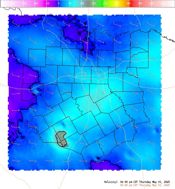
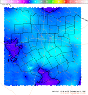
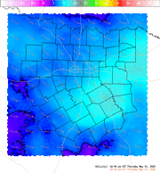
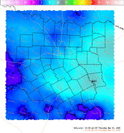
4 Panel Display | Animated Loop Helicity (0-1 Km) This is the 0-1 km (approximately 0-3,000 Ft. AGL) storm relative helicity which is a measure of the amount of low level wind shear available for tornadogenesis. This is not a good indicator of supercell potential which is related more strongly to 0-6 KM vertical shear. Values greater than 100 m**2/s**2, do suggest an increased threat of tornadoes provided a supercell is present. Larger values are generally better, but there are no clear "boundaries" between non-tornadic and significant tornadic supercells. The arrows indicate the approximate right supercell storm motion using the Bunkers technique. |
Current Hazards
National Outlooks
Tropical
Local Storm Reports
Storm Reports (Graphical)
Submit Storm Report
Tornado Warnings
Severe Thunderstorm Warnings
Flash Flood Warnings
Forecasts
Forecast Discussion
Graphical Forecast
Aviation Forecasts
Fire Weather
Hazard Planner
N. Texas Convective Parameters
US Dept of Commerce
National Oceanic and Atmospheric Administration
National Weather Service
Fort Worth/Dallas, TX
3401 Northern Cross Blvd.
Fort Worth, TX 76137
817.429.2631
Comments? Questions? Please Contact Us.