Severe thunderstorms and showers pose a risk for excessive rain, localized flash flooding, strong gusts and/or large hail across portions of the northern and central Plains, the Lower Missouri to Lower Ohio Valleys, and across the Mid-Atlantic this afternoon and evening. Extreme heat is ongoing over the Desert Southwest and the Southeast U.S.. Read More >
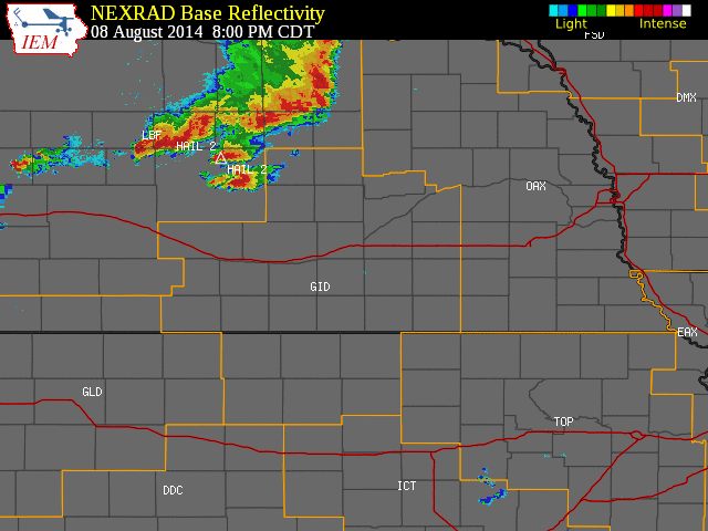
August 8, 2014 Strong Wind, Large Hail and Heavy Rainfall Strike the Area
The NWS Hastings coverage area is located within the orange outlined area labeled "GID", with the Interstate highways in red. (Click Radar Loop To Enlarge)
|
|
|
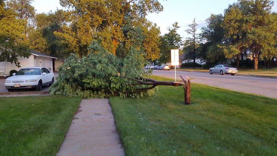
Event Summary:
Below is a map of storm reports from across the area...
|