Although NO SNOW has fallen yet in our 30-county forecast area DURING THE UPCOMING 2026-27 SNOWFALL SEASON, it's high time that we take a look back at LAST SNOWFALL SEASON (the 2025-26 season...meaning Late Fall 2025-Early Spring 2026).
As covered in more detail below, BY FAR the most notable thing about last winter was HOW LITTLE SNOW FELL! In fact, MOST of our forecast area received no more than 10-50 PERCENT of its "30-year normal" (the majority of our area measured only between 3-11")!
Below are maps (with specific snowfall data for dozens of NWS Cooperative Observer sites across our area) that outline seasonal totals, departures from normal/average etc. for the 2025-26 season. Before continuing though, and in order to better give last season's totals some perspective, official 30-year snowfall normals/averages within our forecast area are:
"Normal"/average seasonal snowfall within our coverage area (based on 1991-2020 NCEI data):
** Note: During the winter months, you can always access local daily/monthly/seasonal snowfall maps (updated DAILY) here: https://www.weather.gov/gid/Snow
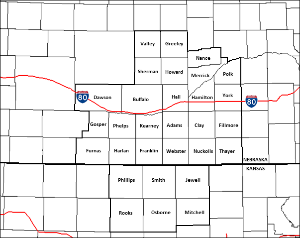
NWS Hastings Coverage Area (24 Nebraska counties/6 Kansas counties)
2025-26 Seasonal Snow and Departure From Normal
(click images to enlarge)
 |
 |
| NWS HASTINGS AREA 2025-26 Snow Season Totals |
NWS HASTINGS AREA 2025-26 Snow Departure From Normal |
2025-26 Regional Seasonal Snow Totals + Departures From Normal
(click images to enlarge)
 |
 |
| REGIONAL 2025-26 Snow Season Totals | REGIONAL 2025-26 Snow Season Departures From Normal |
Various notes/highlights regarding the 2025-26 snowfall season (Nov. 2025-March 2026):
Within our 24 South Central/Central NE counties (per official NWS observers):
- The highest 2025-26 seasonal snow totals featured 14.8" in Ord and 12.9" in Superior .
- The lowest official seasonal totals were 1.7" near Lexington and 1.9" in Beaver City.
Within our six North Central KS counties (per official NWS observers):
- The highest 2025-26 seasonal snow totals featured 10.4" in Beloit and 8.7" in Alton.
- The lowest official seasonal totals were 4.7" in Phillipsburg and 6.5" in Cawker City.
In the Nebraska Tri Cities (from NWS observers near Grand Island/Kearney airports...and at Hastings NWS office):
---- Grand Island: 9.9" (17.8" BELOW normal):
- Based on 125 seasons with the most complete (least missing) snowfall data, this was the 4th-LEAST-SNOWY season on record...and the least since only 9.2" fell during the 2016-17 season.
- Compared to the previous snowfall season, it was LESS THAN HALF of what fell (21.4" in 2024-25).
---- Hastings: 8.8" (19.8" BELOW normal):
- Unfortunately, due to too much missing data in the historical snowfall record we are unable to officially rank this total versus previous years. However, unofficially it was possibly the least-snowy season since at least the 1927-28 season!
- Compared to the previous snowfall season, it was A LITTLE LESS THAN ONE-THIRD of what fell (23.9" in 2024-25).
---- Kearney: 6.6" (15.2" BELOW normal):
- Unfortunately, due to too much missing data in the historical snowfall record we are unable to officially rank this total versus previous years. However, unofficially it was quite possibly the least-snowy season on record dating back to 1894-1895!
- Compared to the previous snowfall season, it was ALMOST EXACTLY ONE-THIRD of what fell (19.7" in 2024-25).
- The FIRST MEASURABLE SNOW WITHIN OUR FORECAST AREA LAST SEASON occurred Nov. 29, 2025 as most of our picked up anywhere from a Trace to 3".
- The LAST MEASURABLE SNOW WITHIN OUR FORECAST AREA LAST SEASON occurred March 15, 2026 as parts of our area saw a meager dusting up to ~ 0.5".
 |
Media use of NWS Web News Stories is encouraged! Please acknowledge the NWS as the source of any news information accessed from this site. |
|



 Follow us on X
 Follow us on Facebook
 Follow us on YouTube
 GID RSS Feed