 |
Results of Tornado |
|
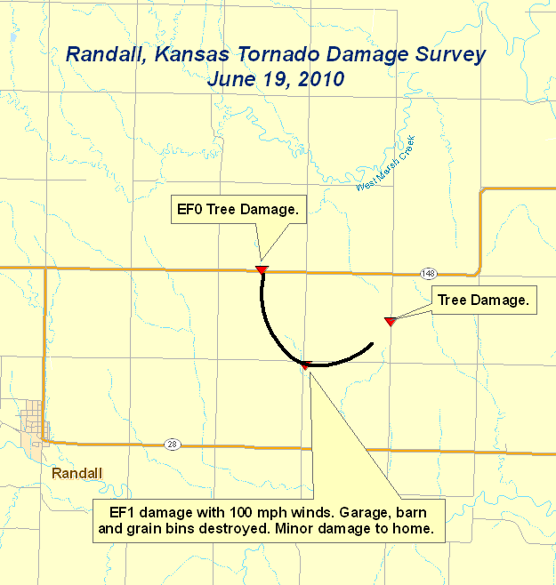
The National Weather Service in Hastings conducted a damage survey of a tornado near Randall, Kansas on Sunday, June 20. The survey was an attempt to retrace the path of a tornadic supercell thunderstorm which occurred Saturday evening, June 19. The results of that survey follow.
The maximum rating of the tornado on the Enhanced Fujita scale was an EF1 for top winds estimated at 100 mph. This rating was assigned based upon the damage observed.
|
||||||||||||
 |
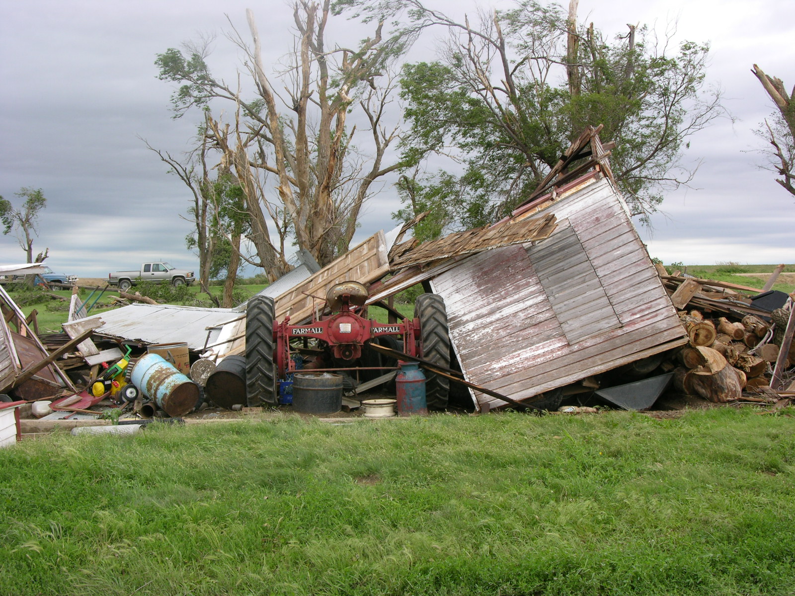
Photographs of the Storm Damage from NWS Survey
Click on any image to enlarge.
 |
 |
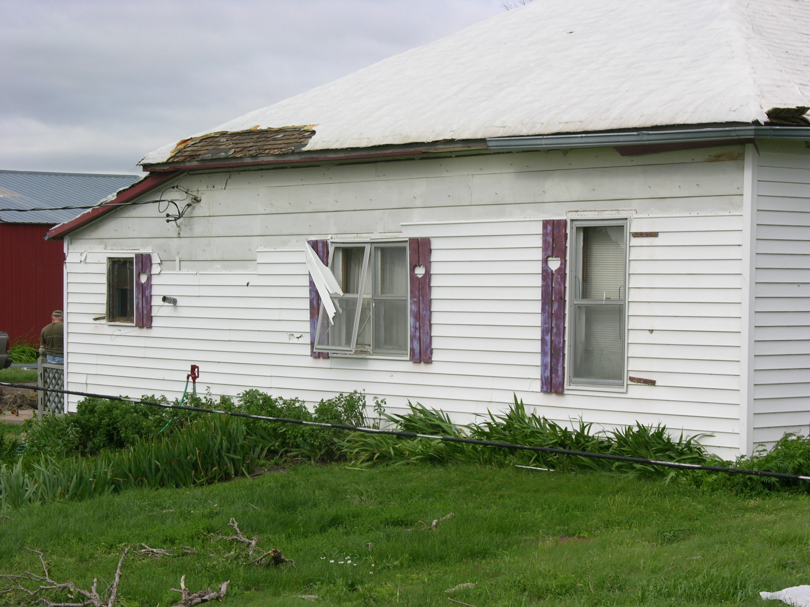
| Damage to home 3 miles east of Randall |
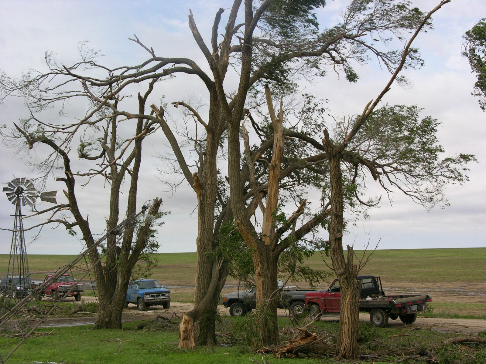
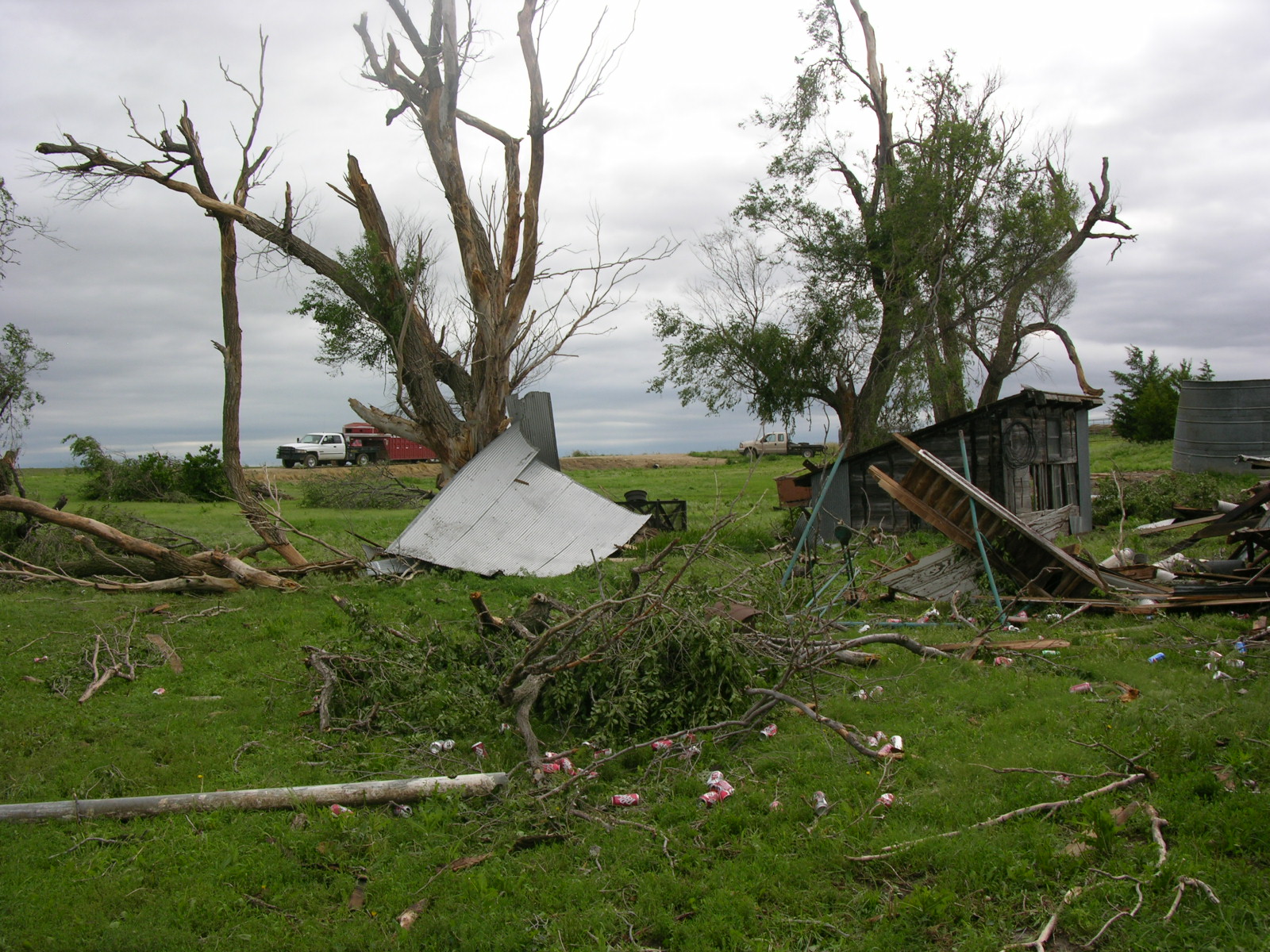
Tree damage on the west side of the farmstead |
 |
 |
| Tree damage and debris on the east side of the house. |
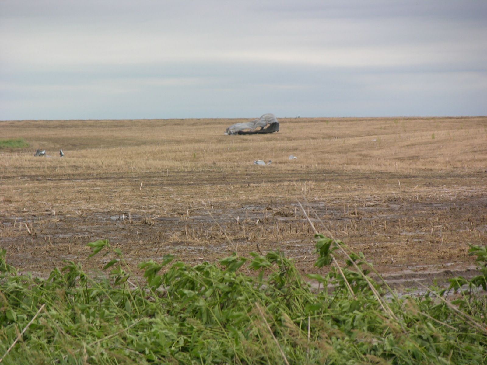
Part of a grain bin in a field. Looking northwest of the house. |
 |
 |
|
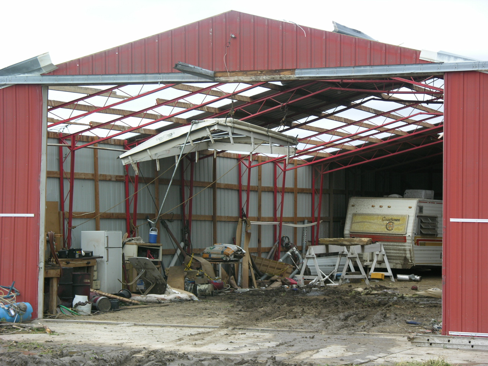
Partial roof damage to a machine shed. |
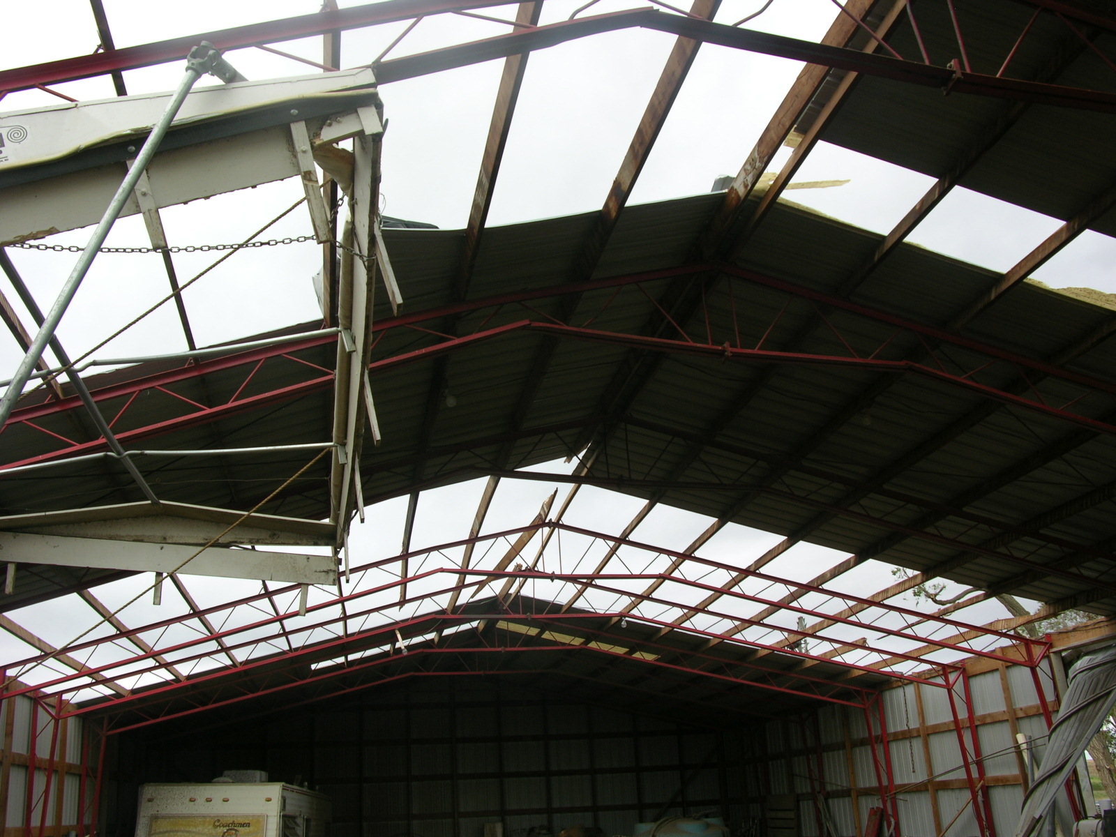
A look from inside the machine shed. |
 |
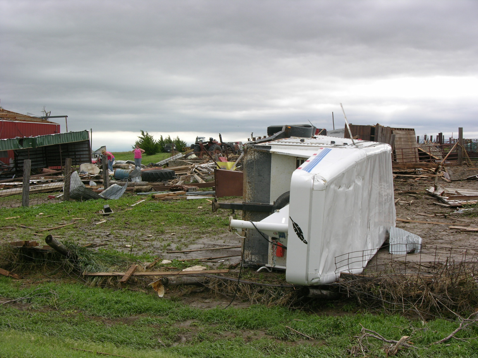 |
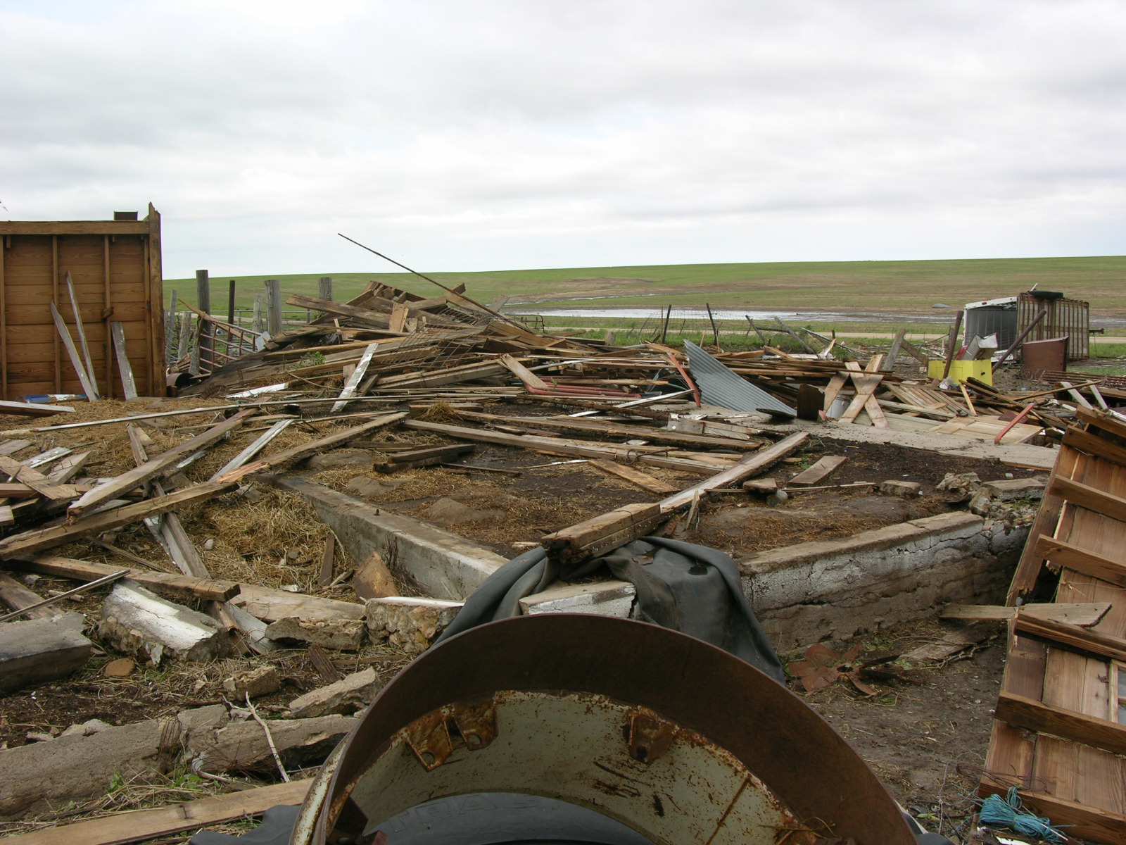
| Barn completely destroyed. | This horse trailer was blown completely across the property to the southwest side. (remains of the barn in the background) |



 Follow us on X
 Follow us on Facebook
 Follow us on YouTube
 GID RSS Feed