
A significant heat wave is underway for the Intermountain West, Northern Plains, and Upper Great Lakes, peaking in intensity through midweek and lingering across parts of the Northern Plains and Midwest until this weekend. In southwest Texas, excessive rainfall may bring a risk for potentially life-threatening flash and arroyo flooding through Thursday. Read More >
Hastings, NE
Weather Forecast Office
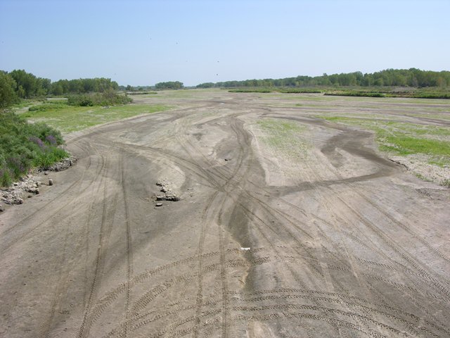
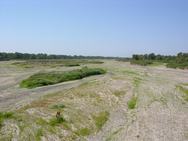
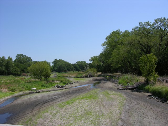
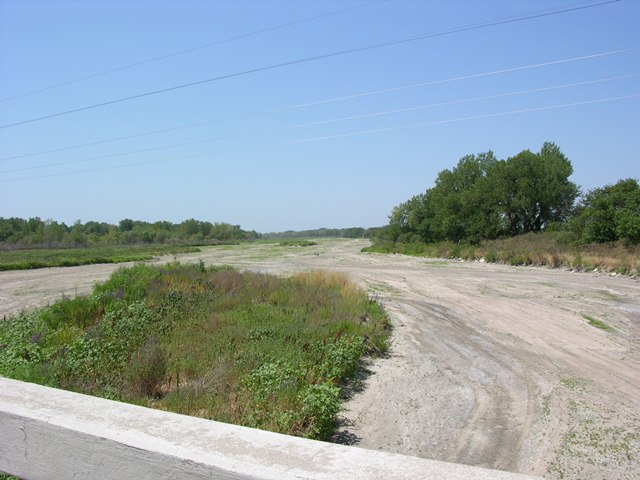
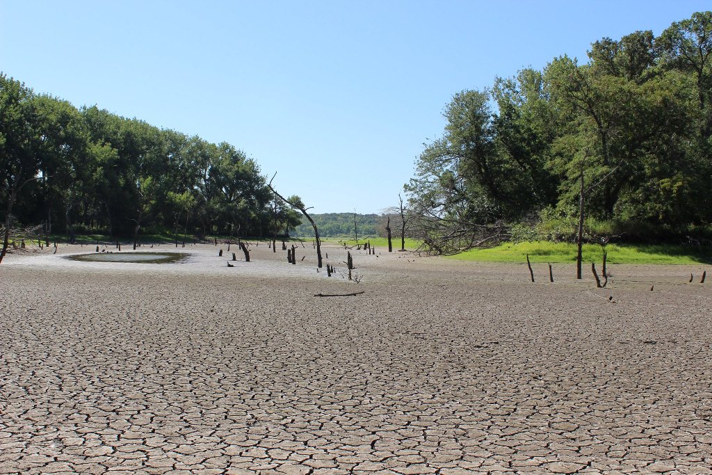
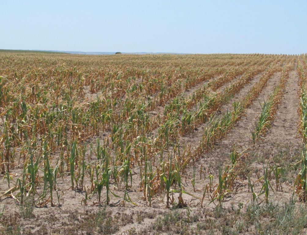
A persistent upper level high pressure ridge set up over a good portion of the Rockies and Great Plains during late June and well into July, resulting in well above average temperatures and well below normal values of precipitation. These circumstances brought the quick onset of drought conditions across much of the central United States, and has been hard on area rivers, livestock and crops. Below is a table of just a few pictures from around the area showing the effects of the ongoing drought.
 |
 |
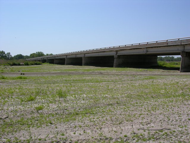 |
| Main channel of the Platte River just east of Grand Island on Highway 34. | Main channel of the Platte River just east of Grand Island on Highway 34. | Main channel of the Platte River just east of Grand Island on Highway 34. |
 |
 |
 |
| North channel of the Platte River along south Locust St. near Grand Island |
South channel of the Platte River on South Locust St. near Grand Island |
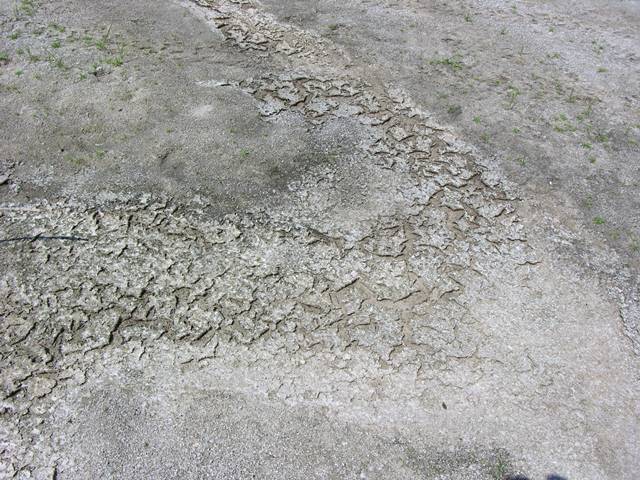
Dry and cracked Platte riverbed. |
 |
 |
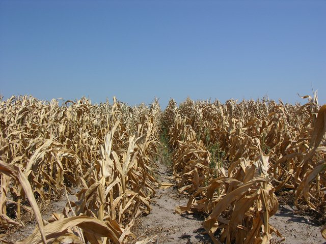 |
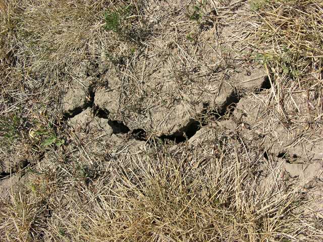
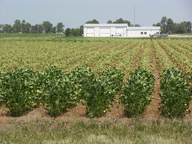
| Parched and cracked ground. | Distressed bean field. | Dried-up corn field. |
 |
 |
 |
| Leaves on the trees are already beginning to turn yellow and drop to the ground. |
Lovewell Resevoir, KS.
Photo courtesy of Kristin Reeve Washington.
|
Corn field near Gothenburg.
Photo courtesy of Ryan Tullinger.
|
 |
This page was composed by the staff at the National Weather Service in Hastings, Nebraska. |
 |
Hazardous Weather
Submit A Storm Report
Storm Prediction Center
Local Storm Reports
Experimental Graphical Hazardous Weather Outlook
Forecasts
Area Forecast Discussion
Fire Weather
Aviation Weather Center
Experimental Probabilistic Precip Amount Forecast
Winter Weather
Winter Storm Severity Index
Experimental Winter Storm Outlook
Wet Bulb Globe Temp
Activity Planner
Current Conditions
Current Area Observations
Text Products
Satellite
Rivers and Lakes
Local 24 Hour Precip Maps
Local Archived Precip Maps
NWPS Precipitation Analysis
Local Snowfall Maps
Snowfall Analysis
Snow Cover
Climate
Local Database (NOWData)
Local Climate Webpage
Hastings/G. Island Records
Local Historical Tornado Info
U.S. Drought Monitor
Grand Island - Daily
Grand Island - Monthly
Hastings - Daily
Hastings - Monthly
Kearney - Daily
Kearney - Monthly
Ord - Daily
Ord - Monthly
US Dept of Commerce
National Oceanic and Atmospheric Administration
National Weather Service
Hastings, NE
6365 North Osborne Drive West
Hastings, NE 68901-9163
402-462-4287
Comments? Questions? Please Contact Us.

