A significant heat wave continues for the Rockies, Northern Plains, and Great Lakes into the Mid-Atlantic, peaking in intensity through midweek and lingering across parts of the Northern Plains and Midwest until this weekend. Excessive rainfall my bring life-threatening and locally catastrophic flash and urban flooding across portions of southwestern Texas through early Friday. Read More >
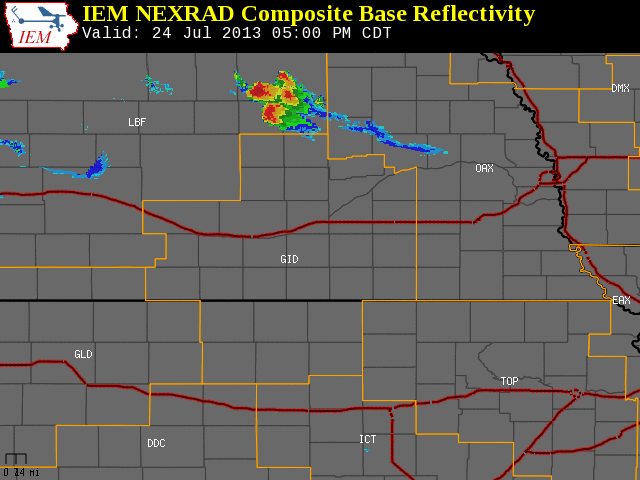
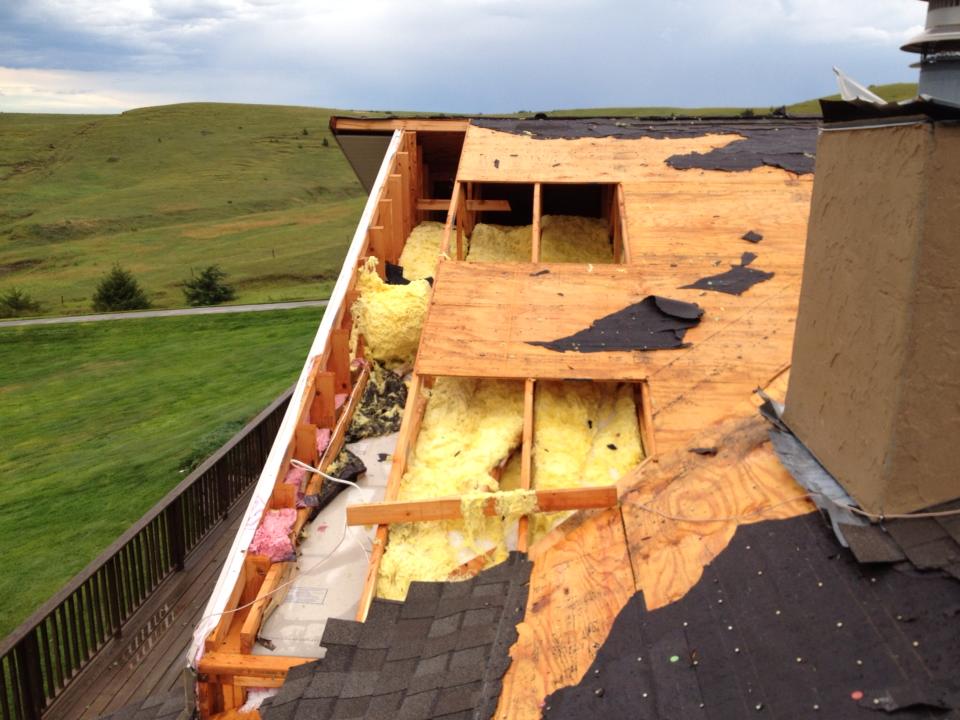
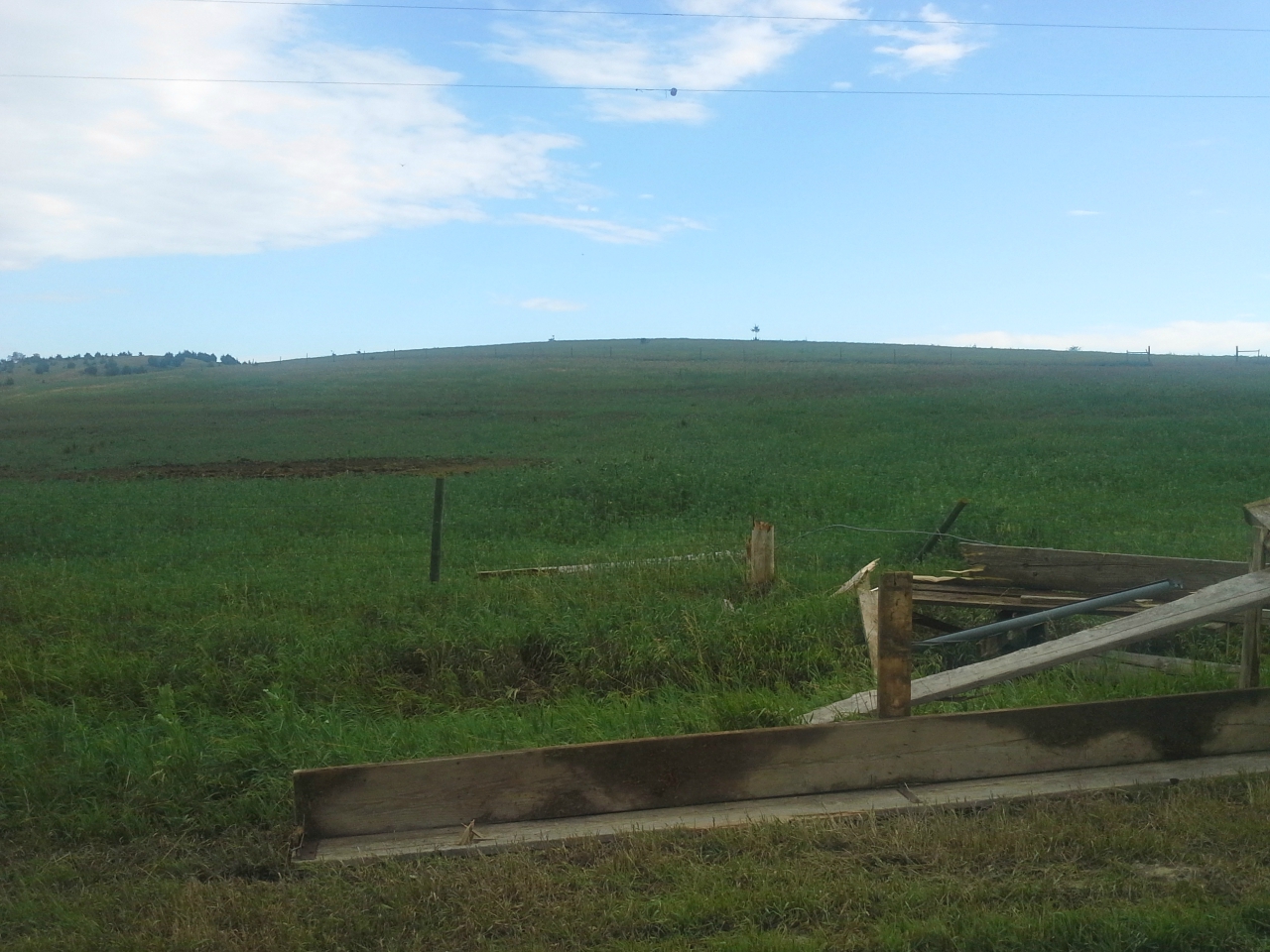
July 24, 2013 Damaging Winds and Large Hail Strike Northern Counties To the right is a National Weather Service Radar loop, valid from 5:00 pm to 9:00 pm CDT on Wednesday, July 24th The NWS Hastings coverage area is located within the orange outlined area labeled "GID", with the Interstate highways in red. (Click Radar Loop To Enlarge)
|
|
|
Detailed Event Summary:
|
||||||||||||||||||||