A significant heat wave is underway for the Intermountain West, Northern Plains, and Upper Great Lakes, peaking in intensity through midweek and lingering across parts of the Northern Plains and Midwest until this weekend. In southwest Texas, excessive rainfall may bring a risk for potentially life-threatening flash and arroyo flooding through Thursday. Read More >
|
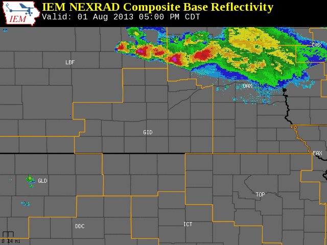
The NWS Hastings coverage area is located within the orange outlined area labeled "GID". (Click Radar Loop To Enlarge)
|
|
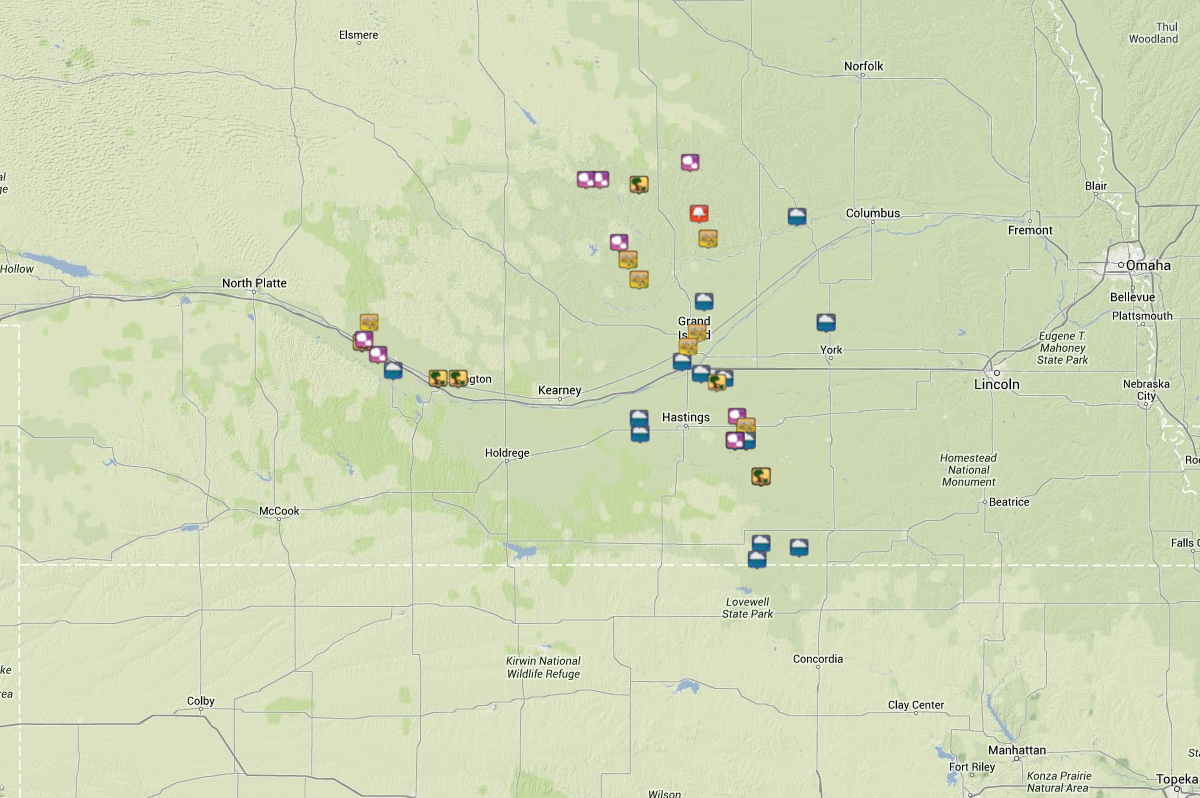
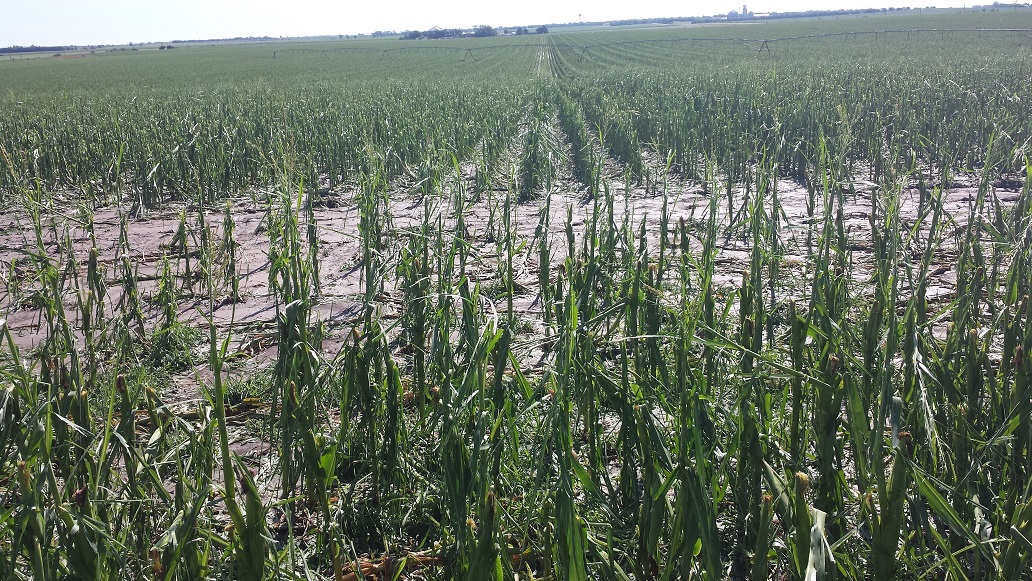
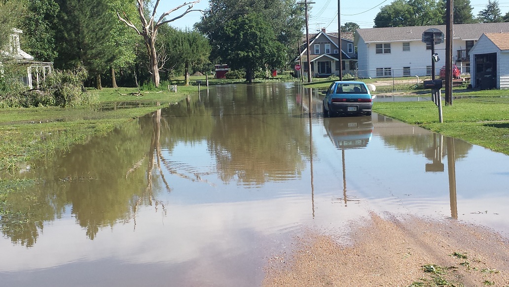
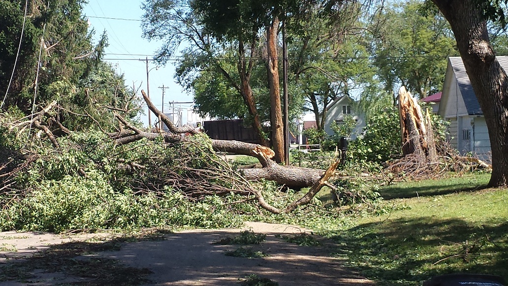
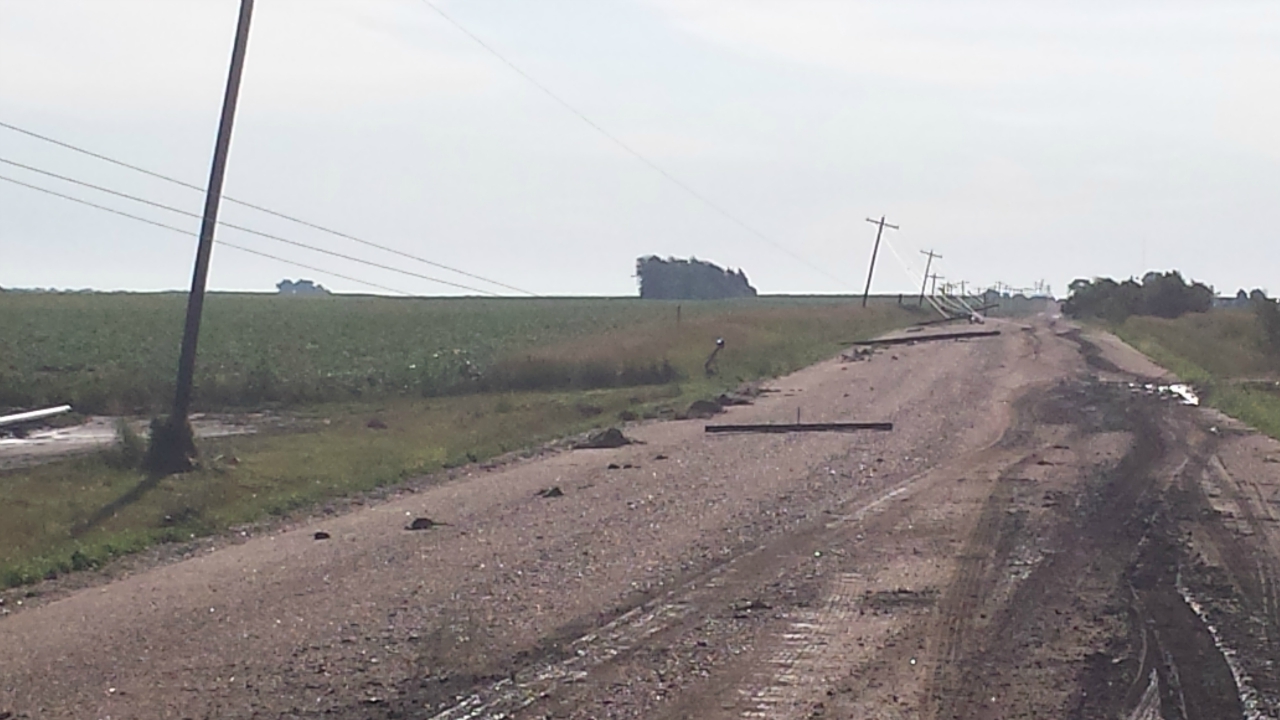
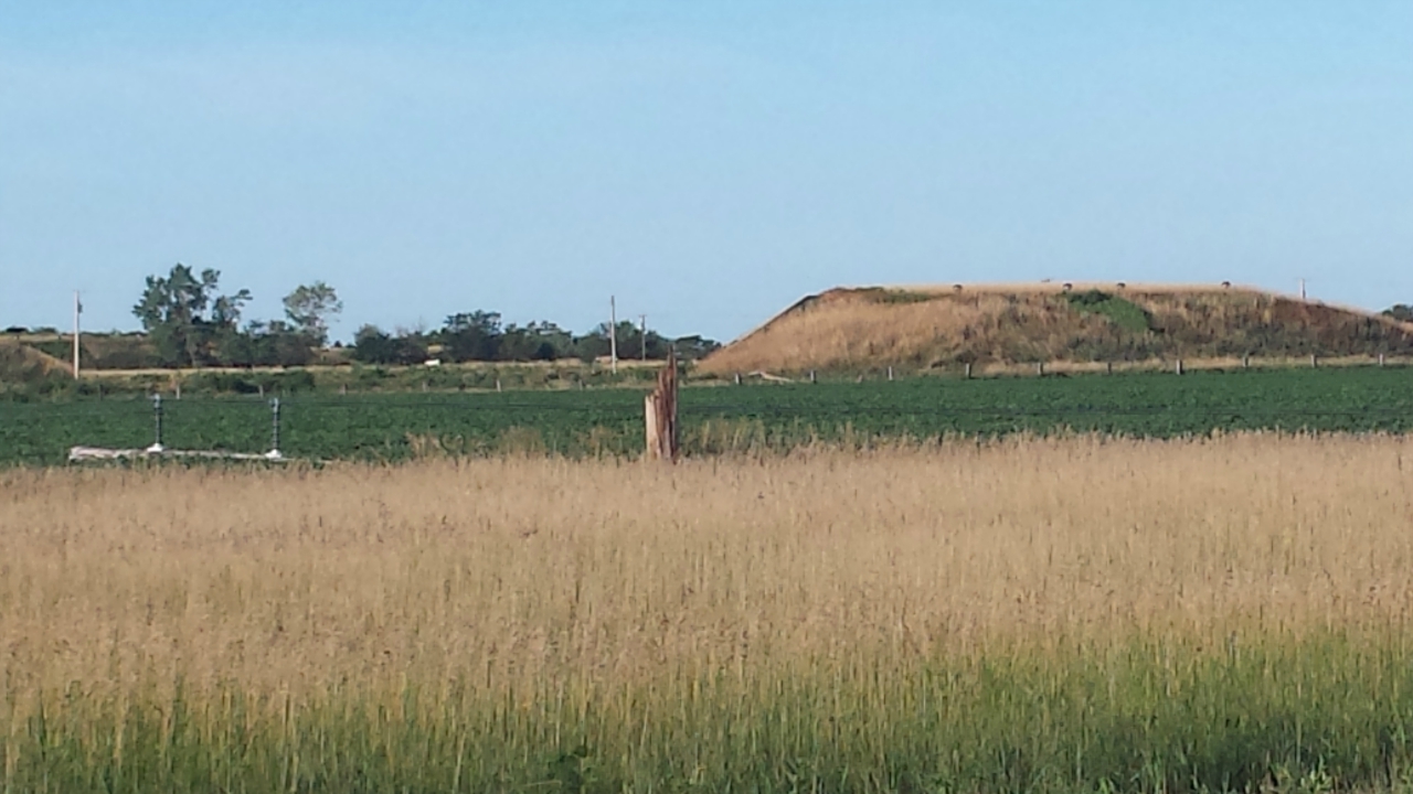
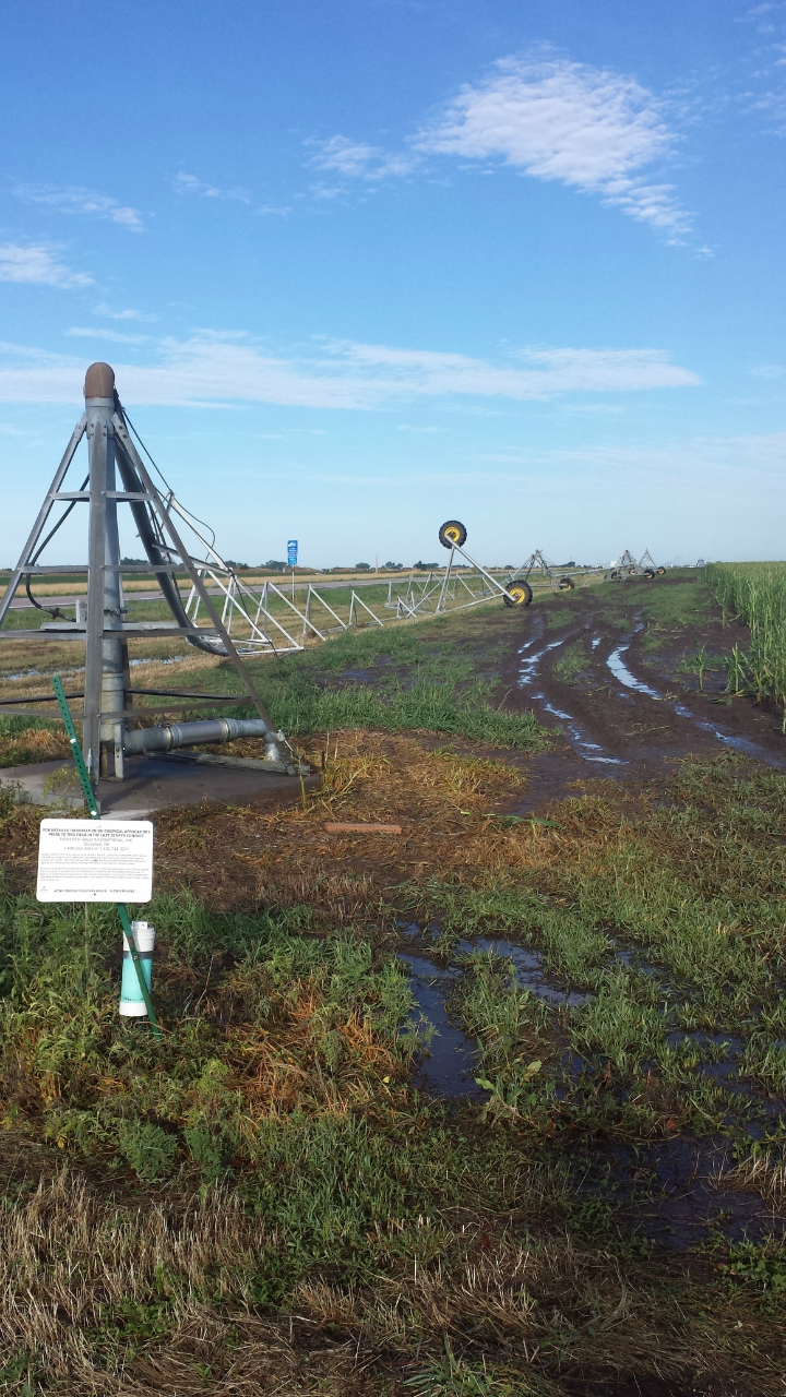
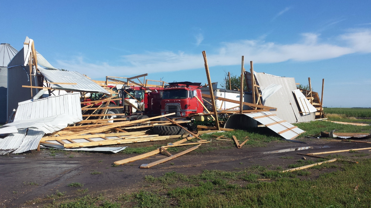
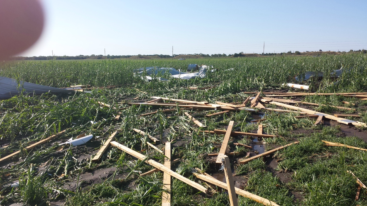
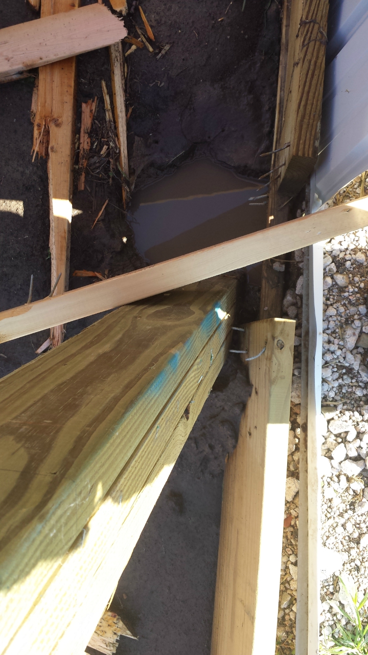
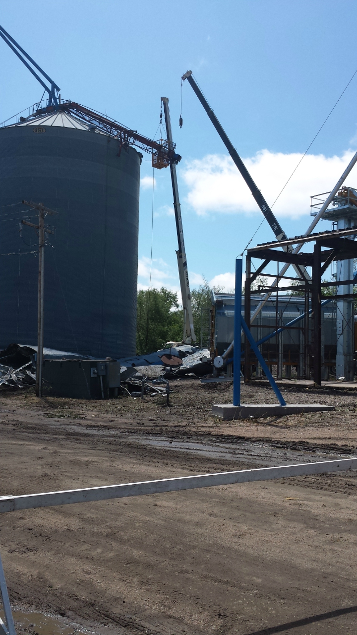
Event Summary During the afternoon hours of Thursday, August 1, 2013, isolated thunderstorms developed over portions of northern Nebraska. These thunderstorms moved south and eventually merged into a line bringing large hail, strong thunderstorms wind gusts, and heavy rainfall to the area mainly during the evening. Some of the worst damage was concentrated within portions of Dawson and Clay counties, including extensive tree and structural damage in and near the community of Edgar (which was also struck by an EF-2 tornado on May 27th!). Much of South Central Nebraska received much-needed rainfall of 1.50-3.50", with some locally higher amounts closer to 4", including 3.90" measured 4 miles south of Cozad. Storm Reports
|