Numerous severe thunderstorms are expected across a broad region from the Ohio Valley to the Mid-Atlantic and Northeast States today into tonight. Swaths of damaging wind gusts are expected and some tornadoes are possible. Bertha is expected to bring tropical storm conditions to portions of the Gulf Coast from the Florida Panhandle westward to southeastern Louisiana later today and Wednesday. Read More >
Overview:
|
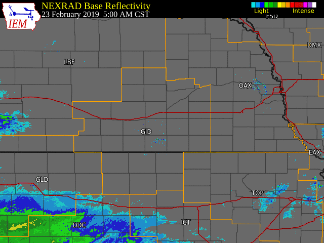
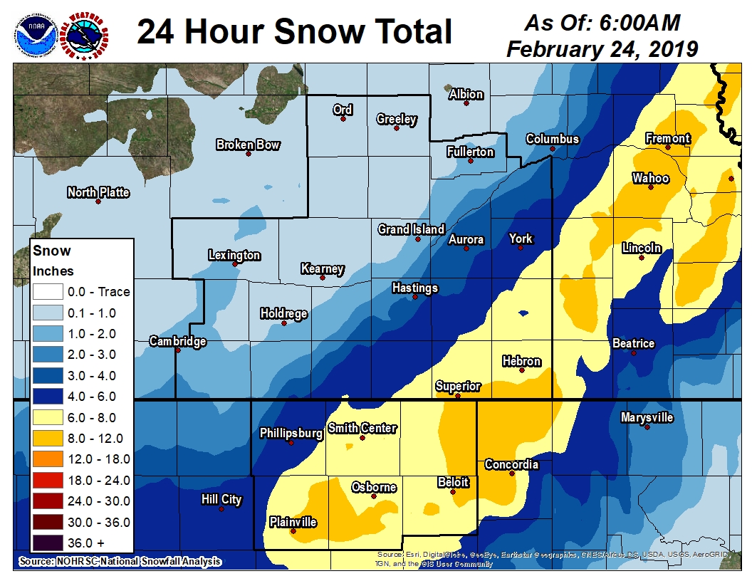
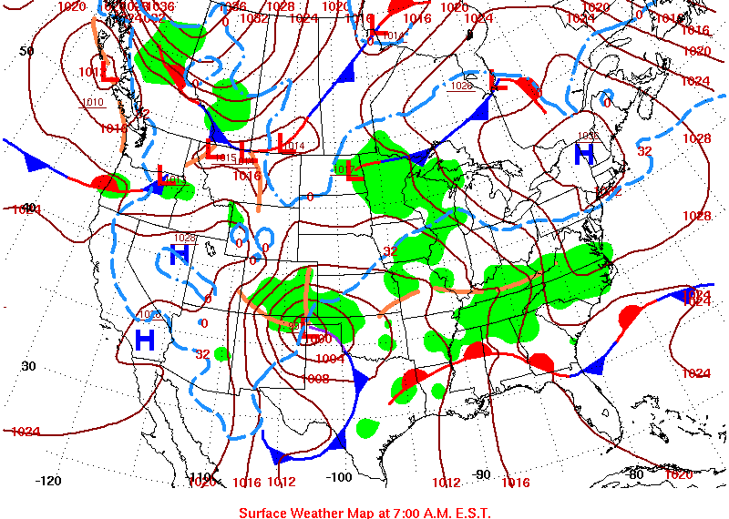
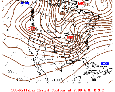
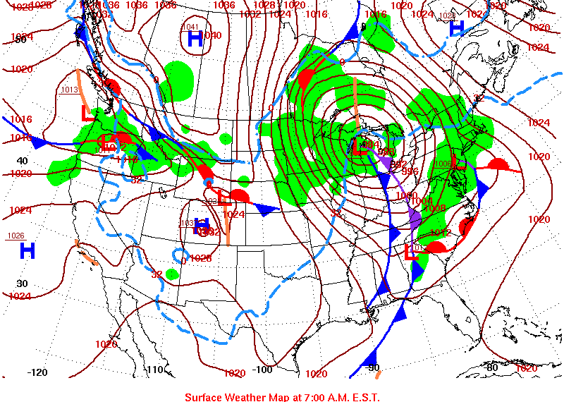
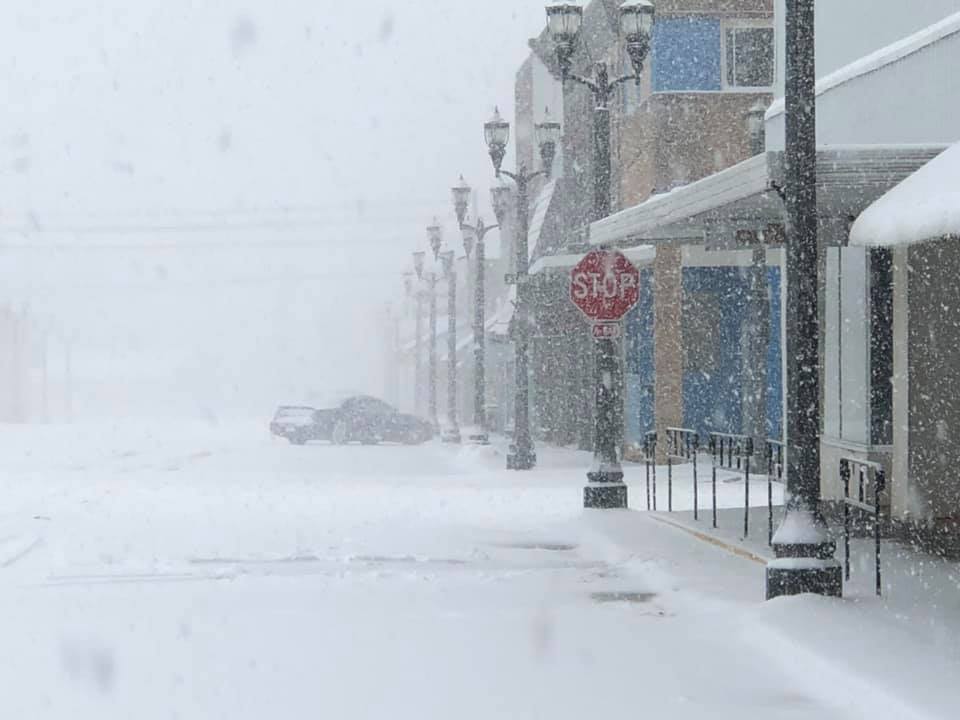
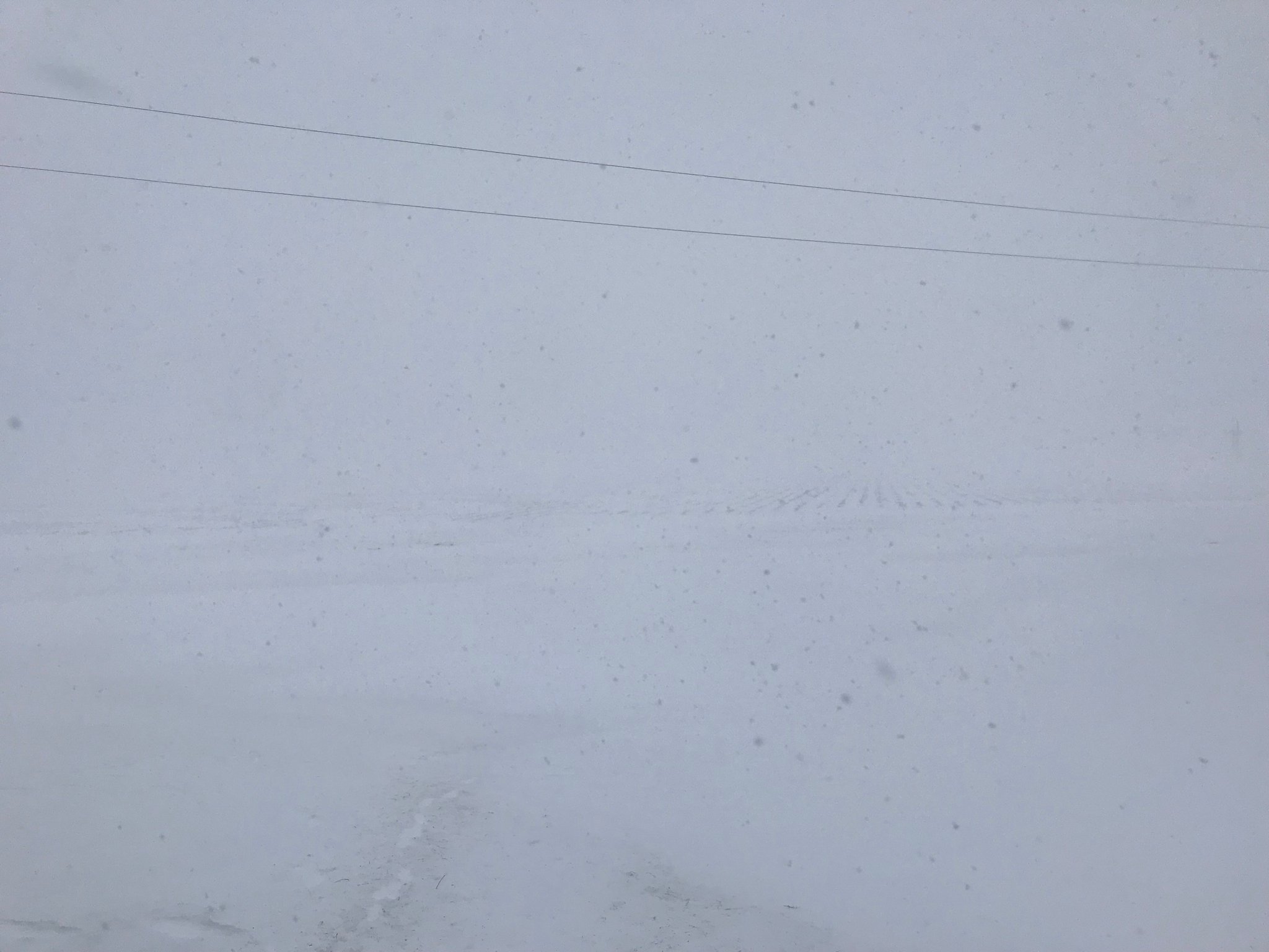
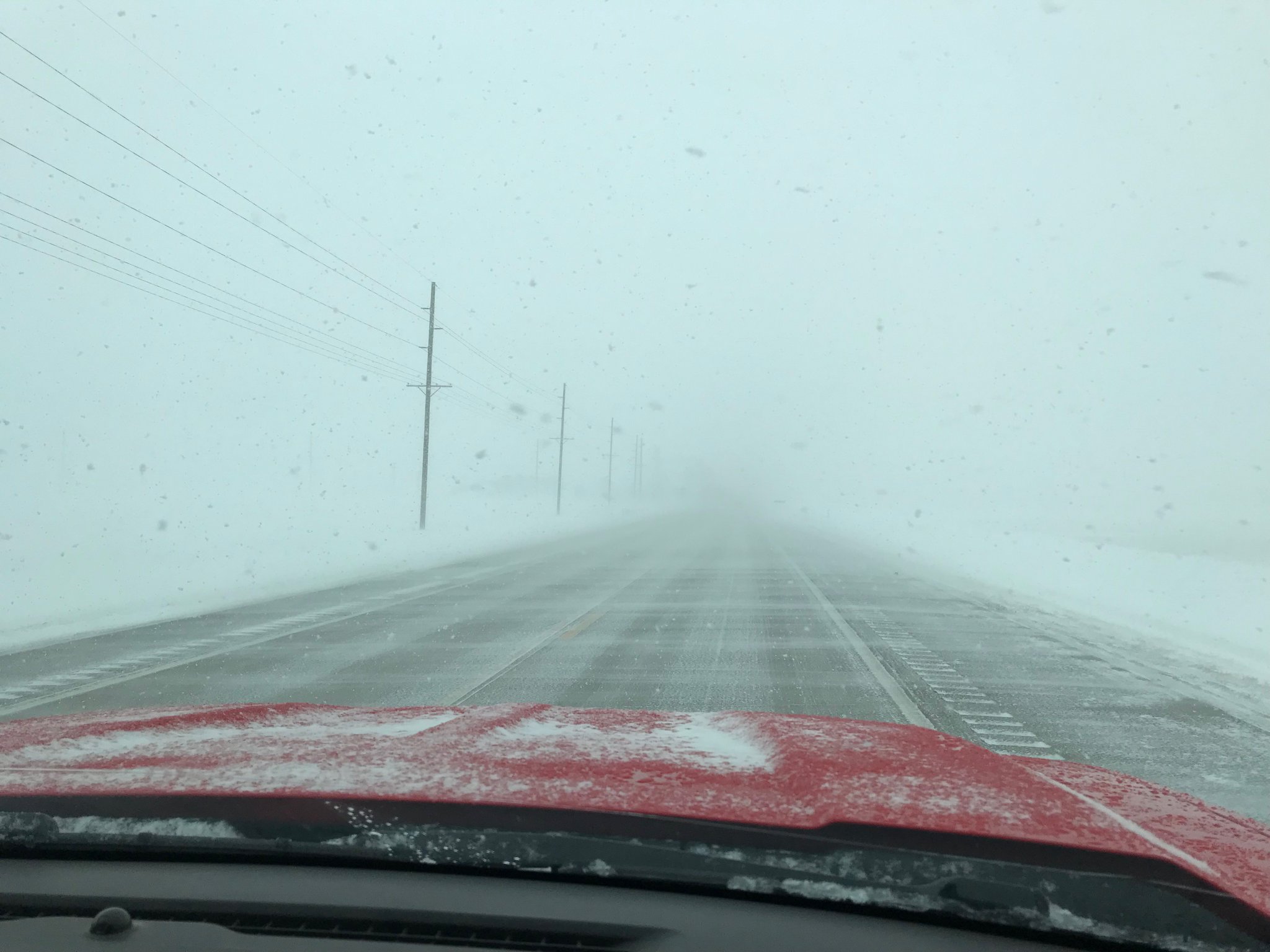
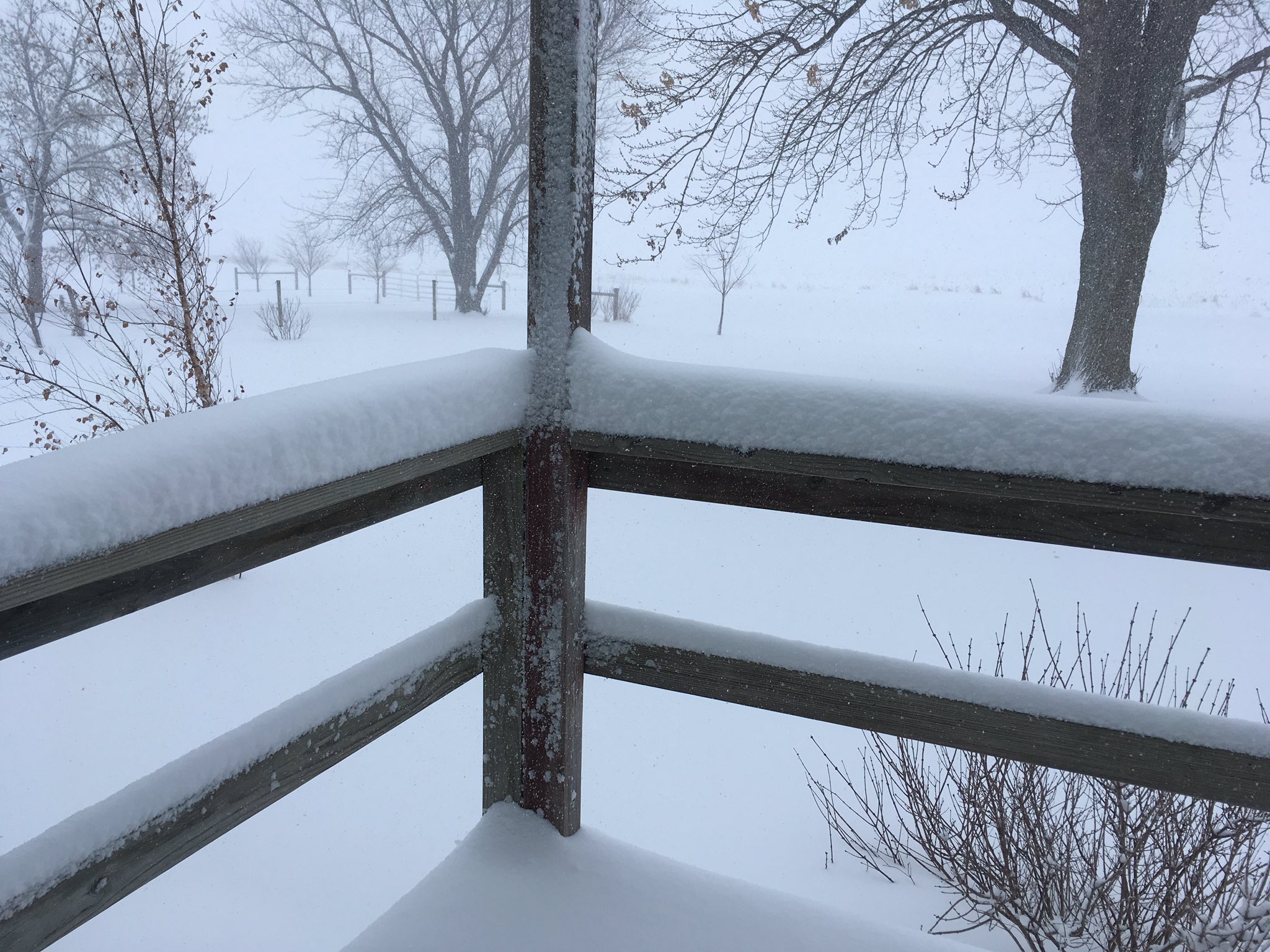
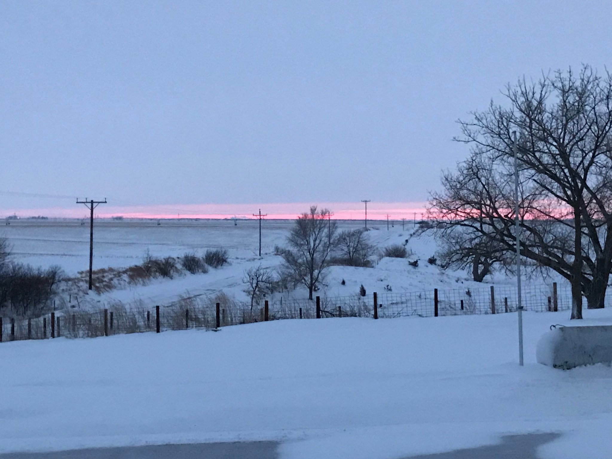
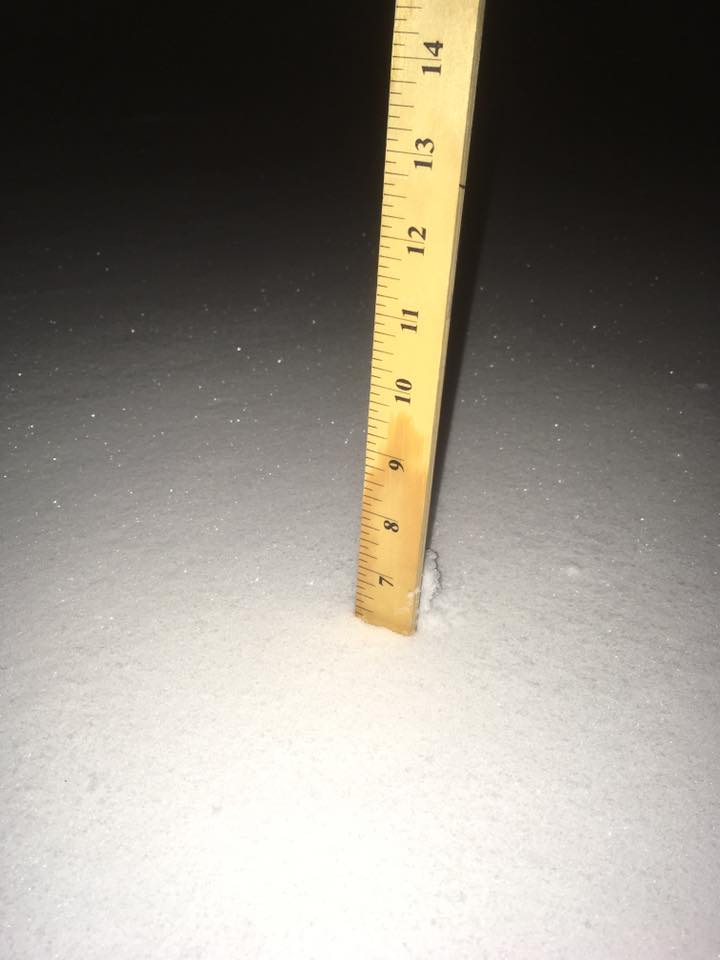
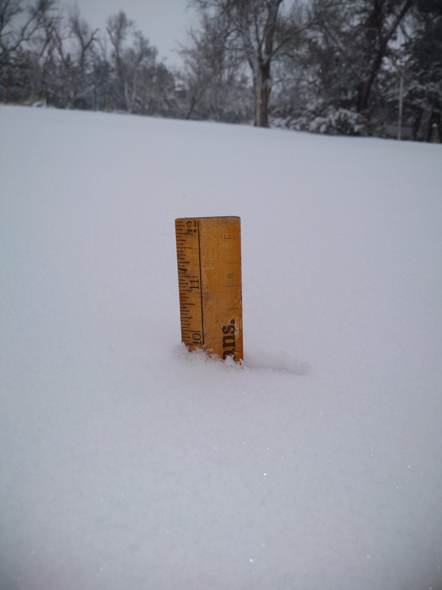
A powerful low pressure system passed through the Central Plains on Saturday, Feb. 23, 2019, bringing several hours of near-blizzard to blizzard conditions to the southeast half (and especially the southeast one-third) of the NWS Hastings coverage area (see map and list of snow totals below). |
Radar loop from 5 AM - 9 PM on February 23, 2019 shows the development and progression of the snow, including the heavy snow band. |
Snow
Storm Total Snow - Saturday, February 23, 2019
|
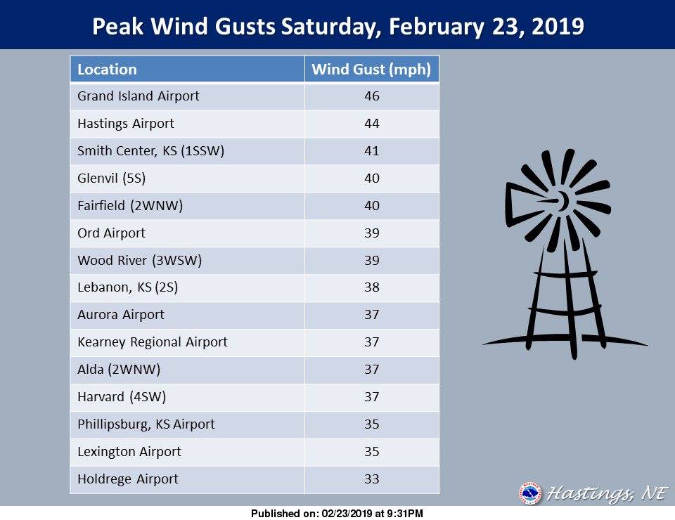
Peak Wind Gusts
Observations are taken from a variety of equipment
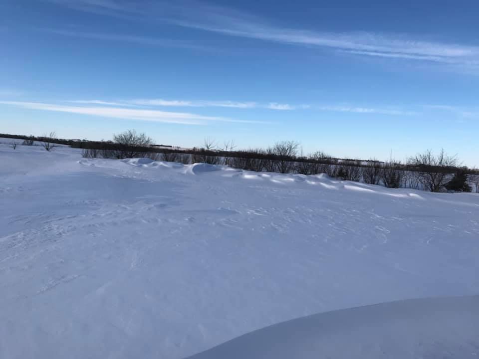
Photos & Video
 |
 |
 |
 |
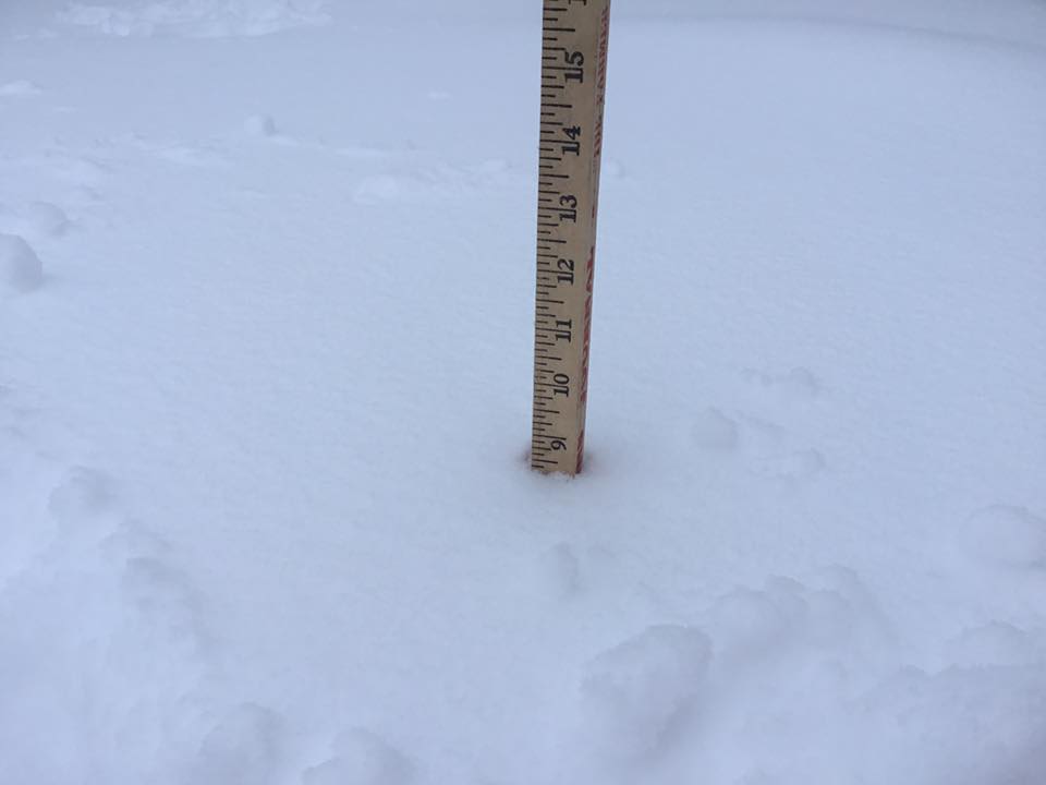
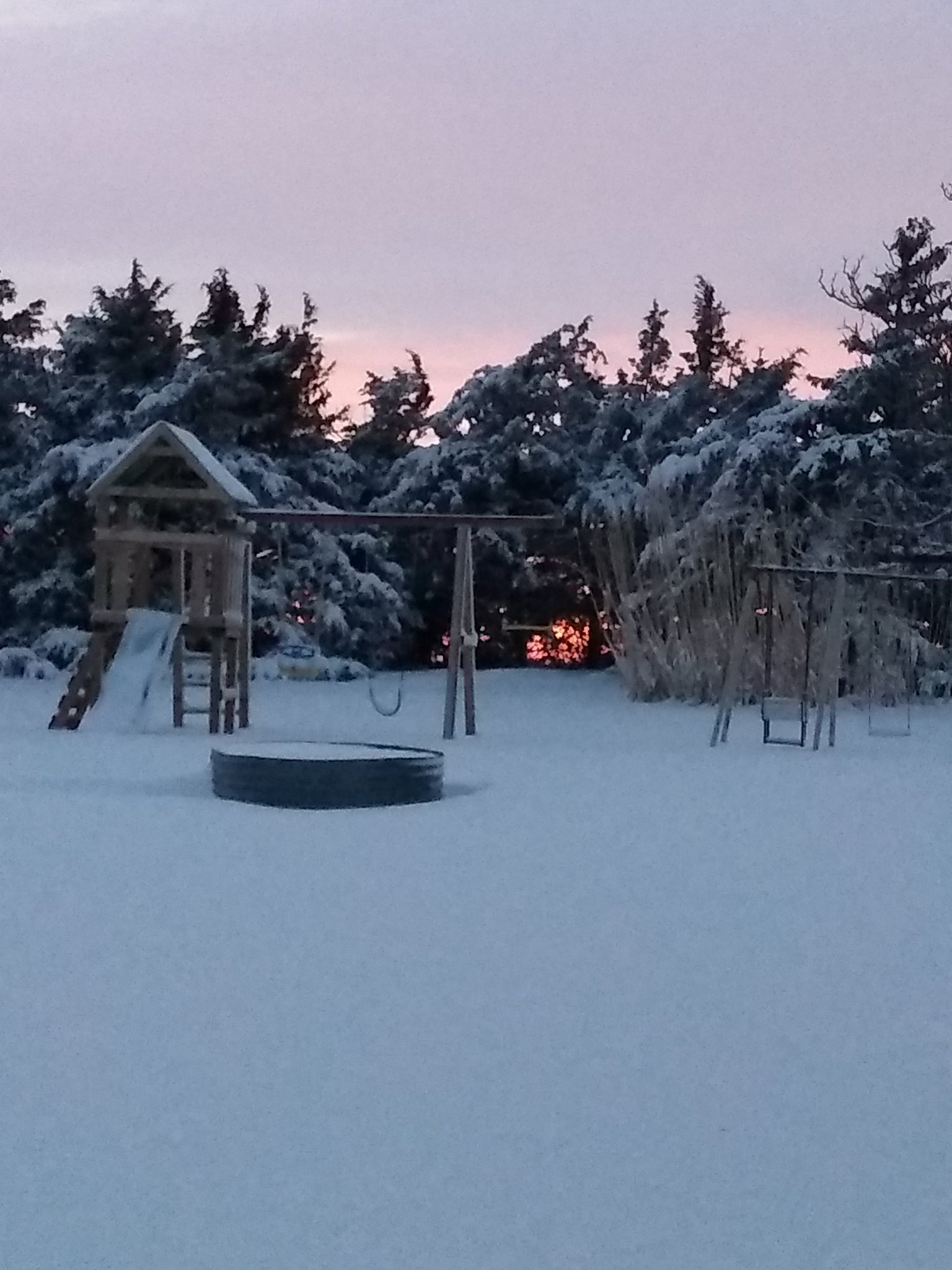
| Beloit, KS photo by Joe Sporleder |
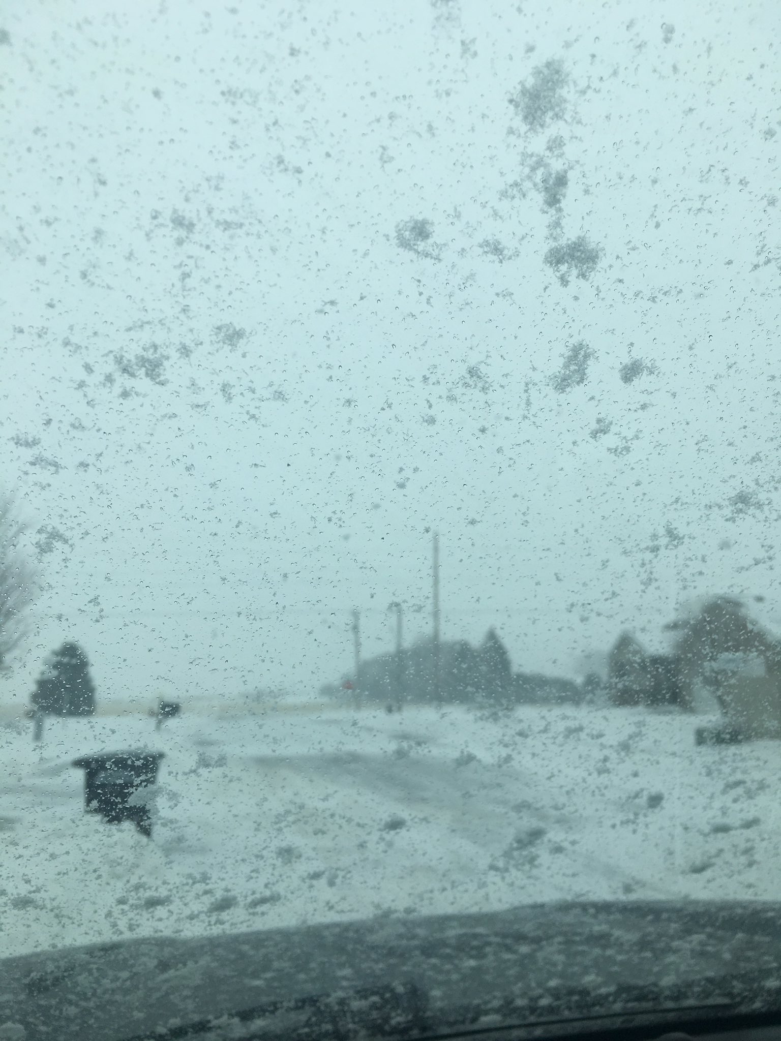
1N of Hampton, NE photo by Kirt Smith |
East of Aurora, NE photo by Kirt Smith |
Shelby, NE photo by Melanie McKinney |
 |
 |
 |
 |
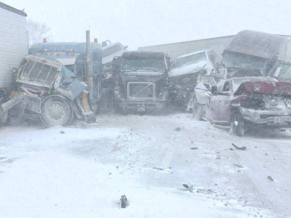
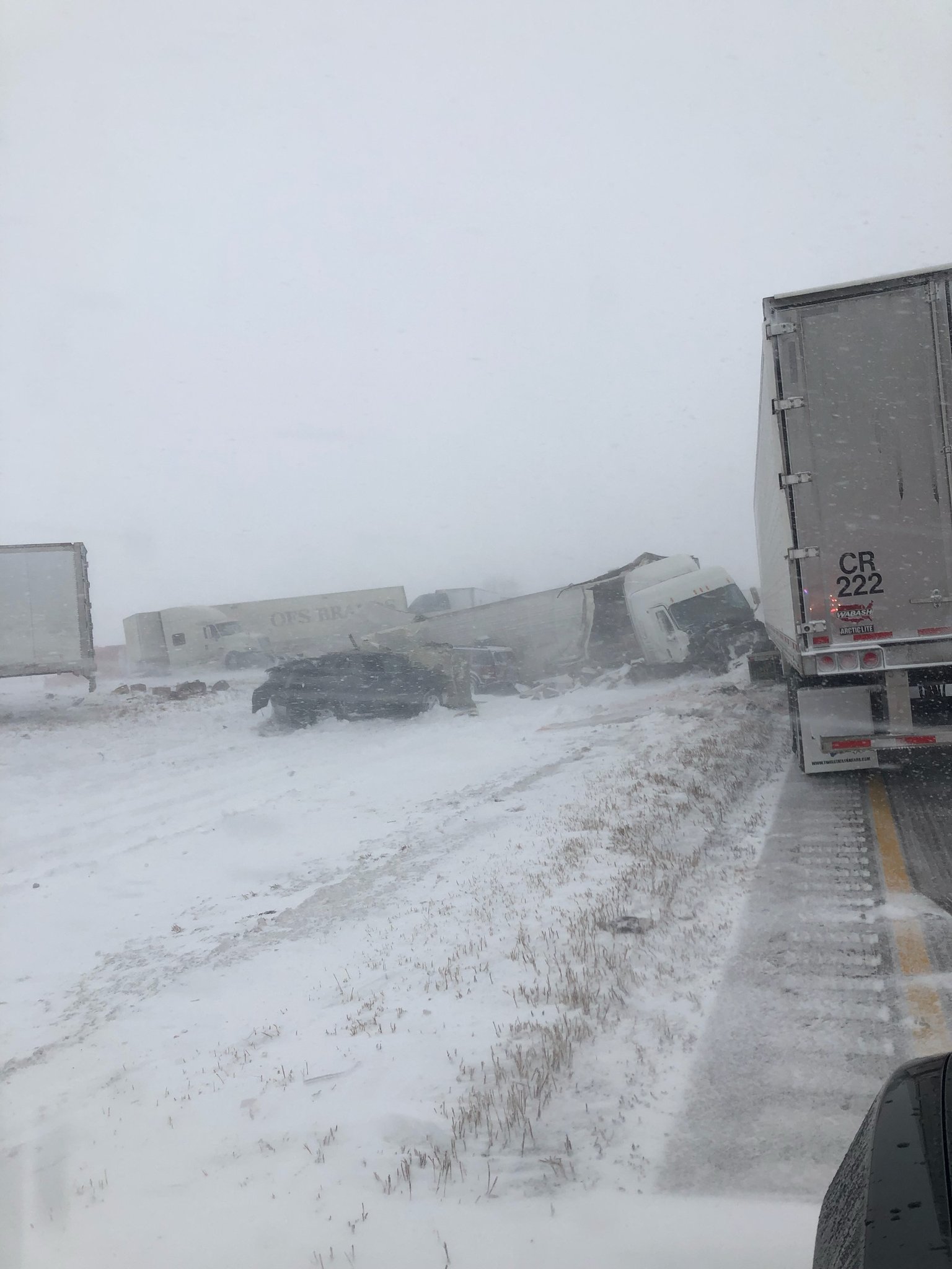
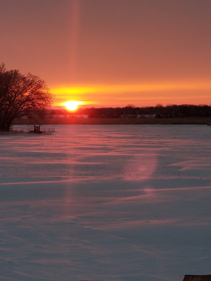
| Interstate 80 near Aurora, NE photo by Nebraska State Patrol |
Gaylord, KS photo by Carolyn Vohs Johson |
Smith Center, KS photo by Saige Blue |
North of Hampton, NE photo by Kirt Smith |
 |
 |
 |
 |
| Interstate 80 near York, NE photo by Trooper Pelster |
Doniphan, NE photo by Jordan Thies |
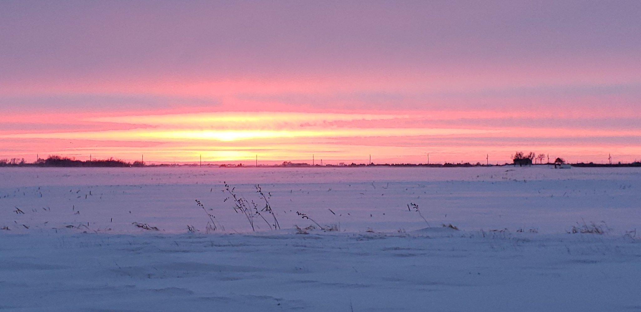
Edgar, NE photo by Martha Wacker |
NW Jewell County, KS photo by Betsy Jennings Reinert |
 |
 |
 |
 |
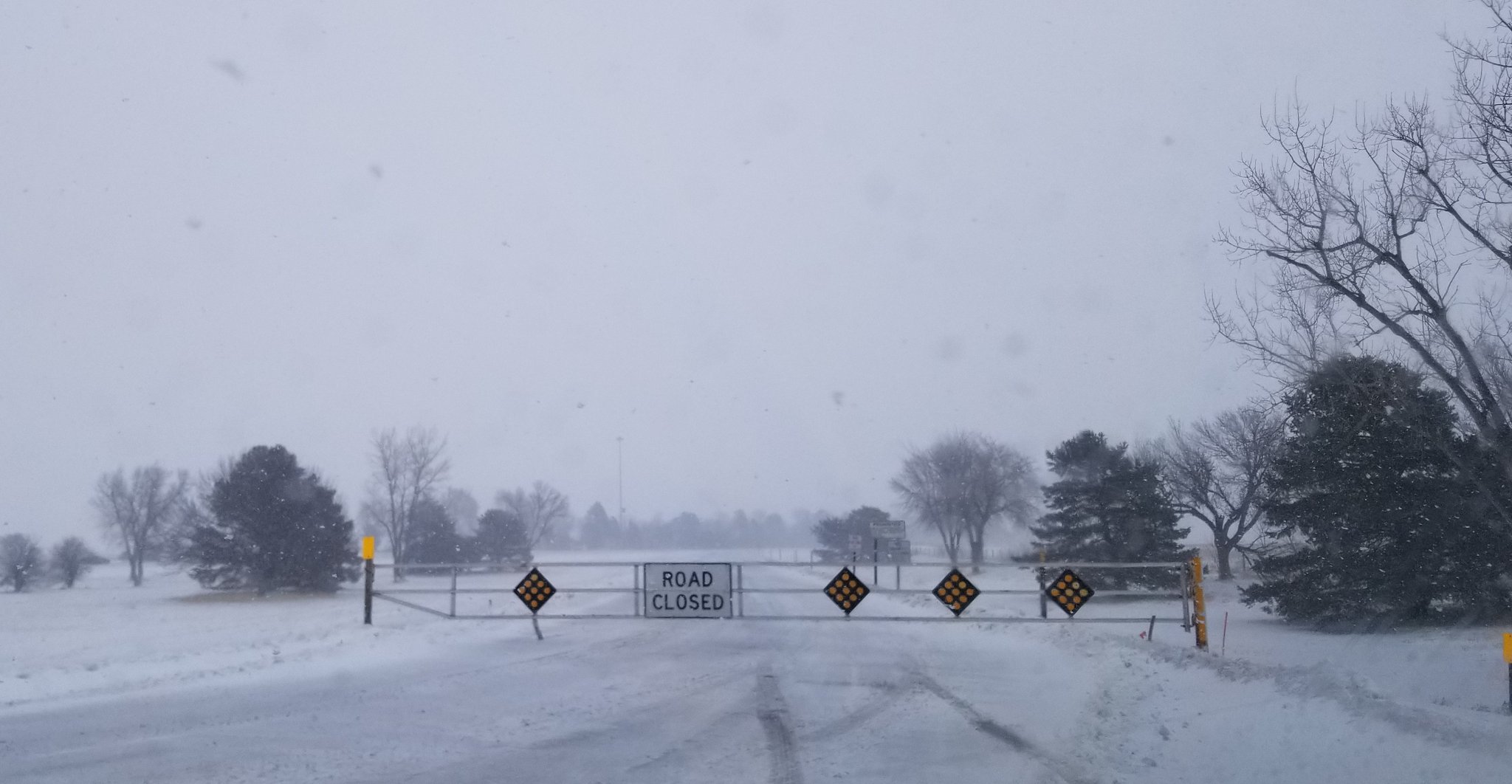
| Interstate 80 Closed at Lexington, NE photo by Nebraska State Patrol |
Shelby, NE photo by Grant Gabel |
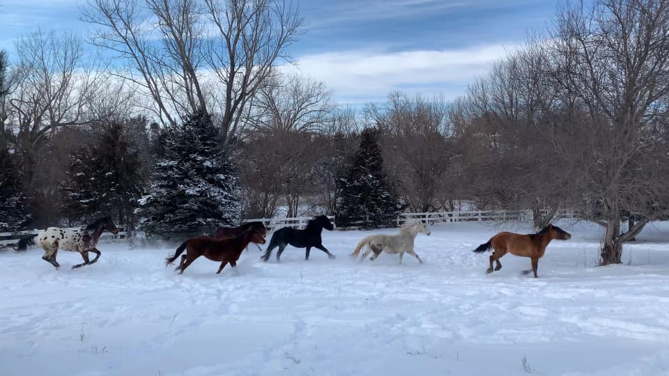
6 East of Ayr , NE |
Grand Island, NE photo by Jon Rosenlund |
|
|
 |
 |
 |
| North of Hampton, NE photo by Kirt Smith |
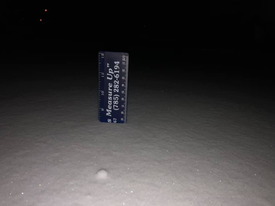
6 NNE of Natoma, KS photo by Dale Beisner |
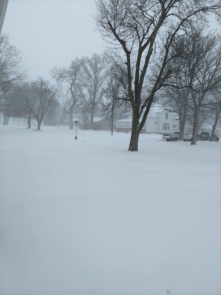
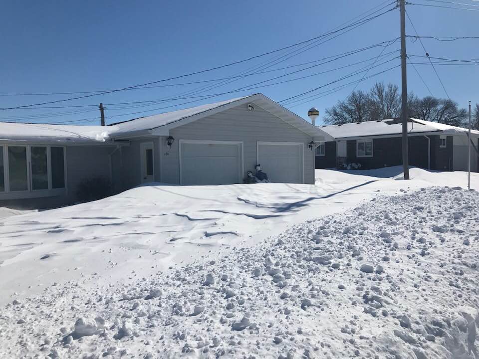
South side of Hastings, NE photo by Angela Pfannkuch |
6 NNE of Natoma, KS photo by Dale Beisner |
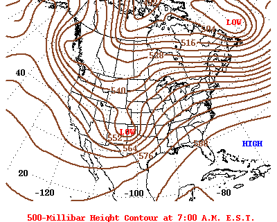
Weather Maps
|
|
 |
Media use of NWS Web News Stories is encouraged! Please acknowledge the NWS as the source of any news information accessed from this site. |
|