A significant heat wave continues for the Rockies, Northern Plains, and Great Lakes into the Mid-Atlantic, peaking in intensity through midweek and lingering across parts of the Northern Plains and Midwest until this weekend. Excessive rainfall my bring life-threatening and locally catastrophic flash and urban flooding across portions of southwestern Texas through early Friday. Read More >
Overview:
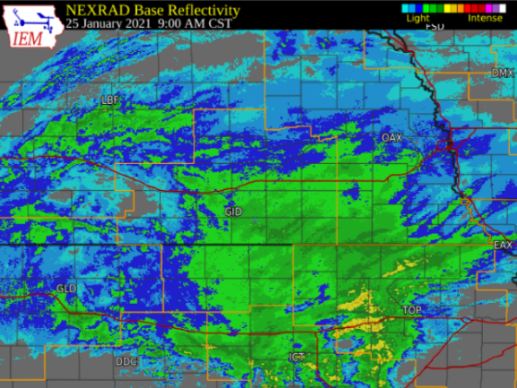
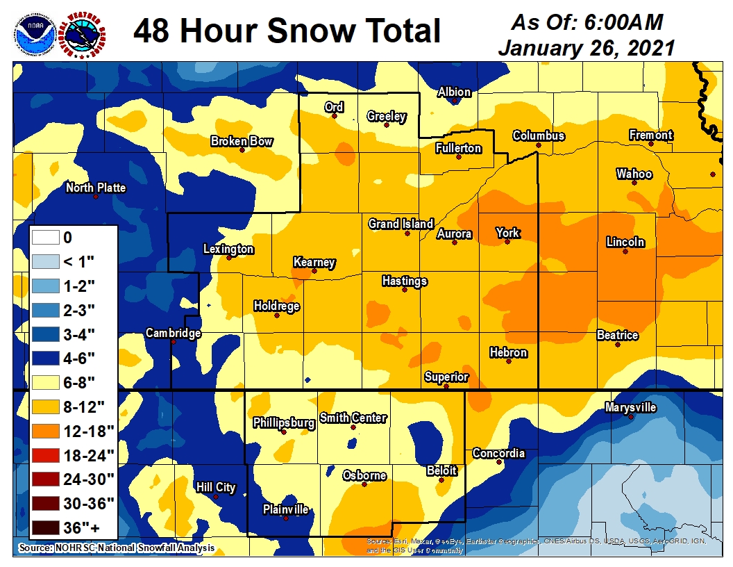
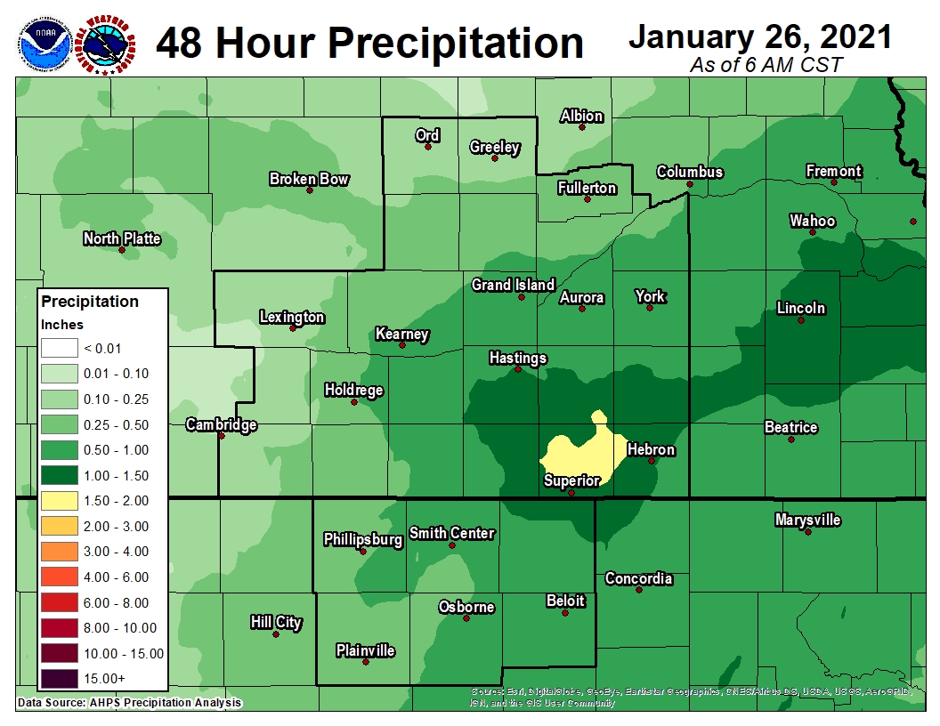
During a roughly 36-hour stretch between the evening of Sunday January 24th and the morning of Tuesday the 26th, a major winter storm took direct aim on the entire NWS Hastings coverage area, dropping a widespread 6-12" of heavy (and fairly wet) snow, with unofficial higher reports of up to around 15" (see map and list of totals below). For all areas, the majority of snow piled up between 6am-6pm on the 25th, snarling travel and shutting down countless schools and businesses at the start of the work-week. For especially the southeast half of the area, this was the biggest winter storm (in terms of snow amounts) in at least five years, since at least the Groundhog Day storm/blizzard of Feb. 2, 2016. For at least one official NWS coop observer station (Hebron), the storm total of 12.0" was technically the largest in thirty-four years (since march 1987)! Only far western portions of our local area (primarily portions of Dawson/Gosper/Furnas counties) accumulated less than 6", but still managed at least 3-5". While snow was the only precipitation type for most of the area, a brief period of freezing rain/light icing was noted mainly in/near Mitchell County KS (the extreme southeast corner of our coverage area). Although snow amounts varied somewhat across our area (generally highest within counties along/east of the Highway 281 corridor and lowest farther west), this event was a bit unique in that our ENTIRE coverage area received several inches of snow, with no truly sharp divide between the "haves" and "have nots" (as often occurs). From a moisture (melted liquid) perspective, this storm was actually very beneficial, featuring widespread totals of mainly 0.50-1.20"...not a bad thing considering that our entire coverage area was in Moderate (D1), Severe (D2) or Extreme (D3) drought going into this storm. Briefly covering the meteorological background and timing: The primary feature was a potent mid-upper level low pressure system that gradually tracked east-northeast from the CO/KS border area on the morning of the 25th, across the heart of our local area during the daylight hours (promoting the heaviest snow during that time), and then departing into IA by daybreak on the 26th. The first flakes started flying across southern portions of our local area on the evening of the 24th, while the last few flurries faded away no later than 6-8am on the 26th. |
Snow:
Below are Storm Total/48-hour snowfall and liquid precipitation maps as well as a table of some of the highest snowfall amounts.
Please note, these maps are APPROXIMATIONS based on a number of sources and may not exactly depict actual totals in some locations.
 |
 |
| Storm Total / 48 Hour Snowfall Map | Storm Total / 48 Hour Liquid Precipitation Map |
| Location | Snow (inches) | Source |
| Milligan 3.5 NW | 15.0 | CoCoRaHS |
| Stromsburg 0.9 E | 13.8 | CoCoRaHS |
| Gresham 3W | 13.5 | CO-OP Observer |
| Aurora 4N | 12.1 | CO-OP Observer |
| Webber 2.6 ENE | 12.0 | CoCoRaHS |
| York 3 N | 11.9 | CO-OP Observer |
| Clay Center 6 ESE | 11.8 | CO-OP Observer |
| Tobias 2.1 WSW | 11.8 | CoCoRaHS |
| Hubbell | 11.0 | CO-OP Observer |
| Superior 6.5 NE | 11.0 | CoCoRaHS |
| Polk | 11.0 | CO-OP Observer |
| Osceola | 10.5 | CO-OP Observer |
| Geneva | 10.5 | CO-OP Observer |
| Aurora 1.0 ESE | 10.5 | CoCoRaHS |
| Grand Island (airport) | 10.4 | Official NWS Obs |
| Ravenna 3.3 SE | 10.3 | CoCoRaHS |
| Clay Center | 10.0 | CO-OP Observer |
| Doniphan 0.6 ESE | 10.0 | CoCoRaHS |
| Grand Island 2.7 SW | 10.0 | CoCoRaHS |
| Wilcox 6.1 S | 10.0 | CoCoRaHS |
| Shelby 3 NE | 9.7 | CO-OP Observer |
| Hastings 0.8 NW | 9.6 | CoCoRaHS |
| Hebron | 9.5 | CO-OP Observer |
| Hunter 2.1 NNW | 9.5 | CoCoRaHS |
| Nelson | 9.5 | CO-OP Observer |
| Elba 2.5 W | 9.4 | CoCoRaHS |
| Hastings (NWS office) | 9.3 | Official NWS Obs |
| Beloit | 9.0 | CO-OP Observer |
| Doniphan 3.7 ENE | 9.0 | CoCoRaHS |
| Hastings 1.9 S | 9.0 | CoCoRaHS |
| Holdrege | 9.0 | CO-OP Observer |
| Red Cloud 4.3 E | 9.0 | CoCoRaHS |
| Ionia | 8.8 | CO-OP Observer |
| Lexington 6.0 SW | 8.5 | CoCoRaHS |
| Loup City | 8.5 | CO-OP Observer |
| Ravenna | 8.4 | CO-OP Observer |
| Rockville 2.2 NW | 8.3 | CoCoRaHS |
| St. Paul | 8.3 | CO-OP Observer |
| Minden | 8.0 | CO-OP Observer |
| Ord | 8.0 | CO-OP Observer |
| Scotia 8.4 NNE | 8.0 | CoCoRaHS |
| Scottsville 4.6 SSW | 8.0 | CoCoRaHS |
| Orleans 1 W | 7.6 | CO-OP Observer |
| Superior | 7.6 | CO-OP Observer |
| Cawker City | 7.5 | CO-OP Observer |
| Hastings 0.3 E | 7.5 | CoCoRaHS |
| Phillipsburg 5.7 E | 7.5 | CoCoRaHS |
| Scotia 4.0 E | 7.5 | CoCoRaHS |
| Arcadia 2 W | 7.2 | CO-OP Observer |
| Kearney | 7.0 | CO-OP Observer |
| Smith Center | 7.0 | CO-OP Observer |
| Beloit 9.9 SSW | 6.7 | CoCoRaHS |
| Elwood 8 S | 6.7 | CO-OP Observer |
| Franklin | 6.5 | CO-OP Observer |
| Oxford 6 NNW | 6.5 | CO-OP Observer |
| Plainville 4 WNW | 6.4 | CO-OP Observer |
| Jewell | 6.0 | CO-OP Observer |
| Lebanon | 6.0 | CO-OP Observer |
| Lexington 6SSE | 6.0 | CO-OP Observer |
| Logan | 6.0 | CO-OP Observer |
| Natoma 6.7 NNE | 6.0 | CoCoRaHS |
| Smith Center 0.2 NW | 6.0 | CoCoRaHS |
| Wilsonville | 6.0 | CO-OP Observer |
| Stockton 10.4 WNW | 5.5 | CoCoRaHS |
| Cambridge | 5.2 | CO-OP Observer |
| Edison | 4.0 | CO-OP Observer |
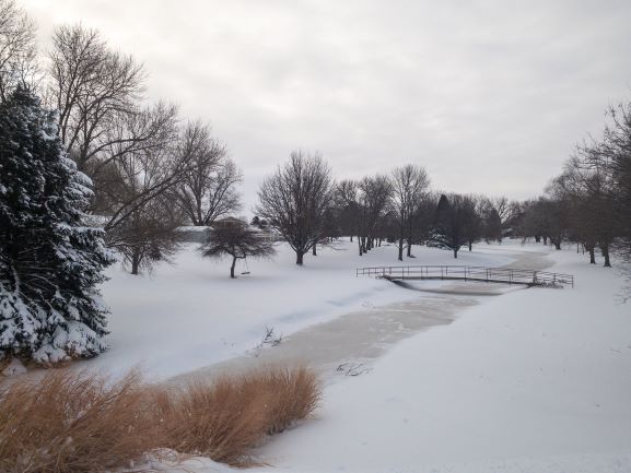
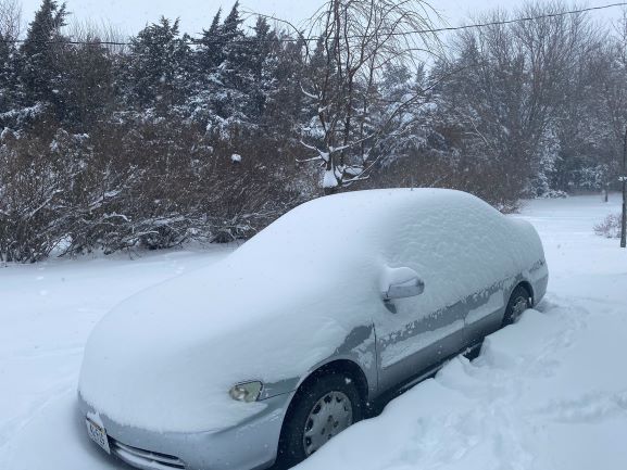
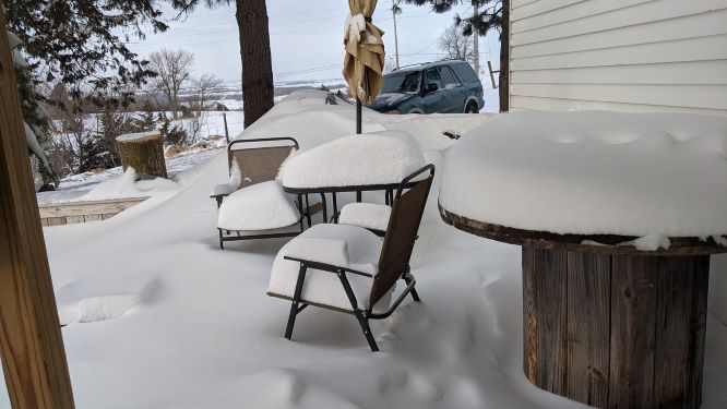
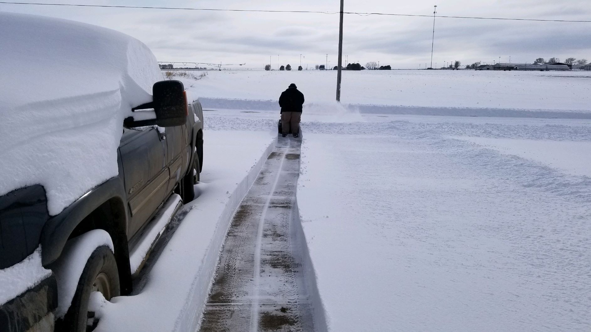
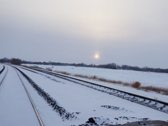
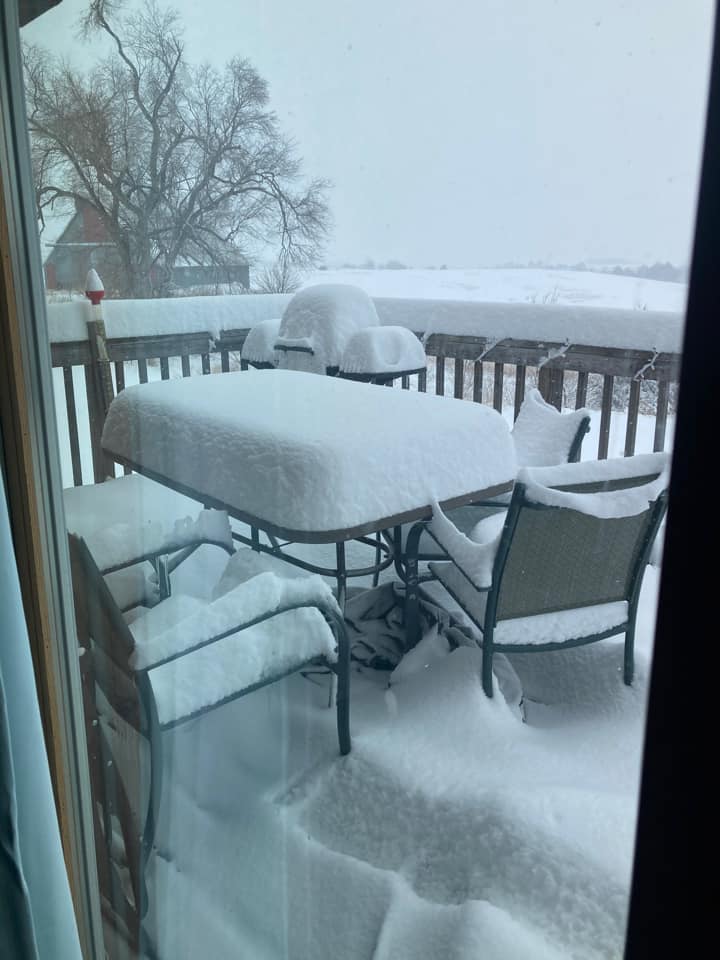
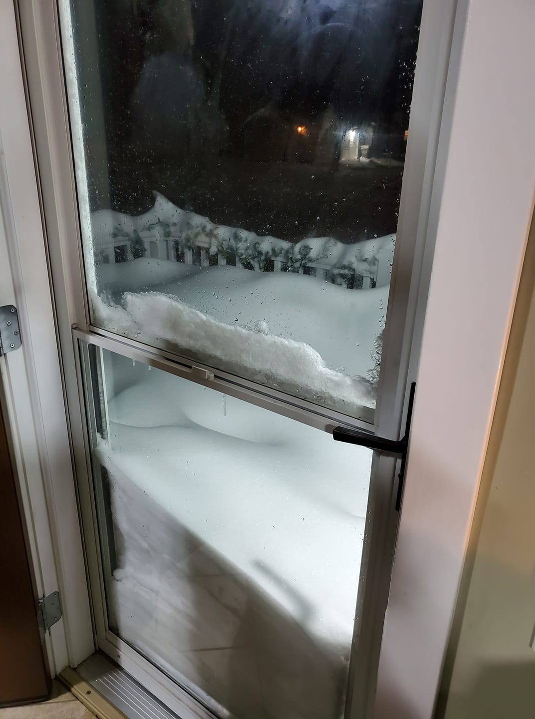
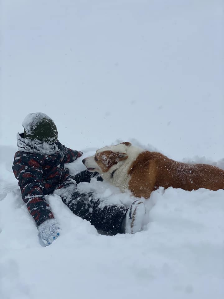
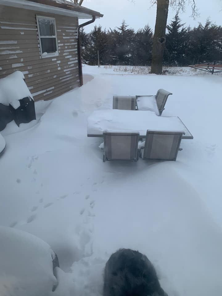
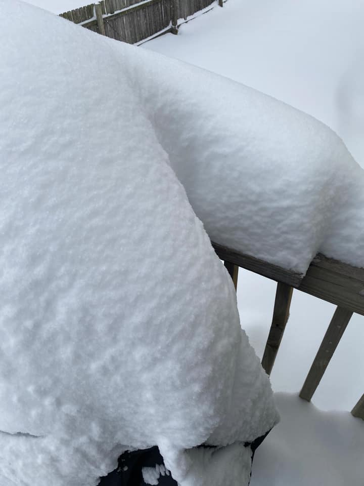
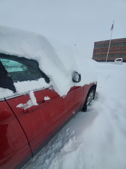
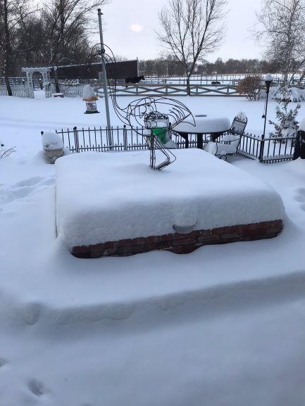
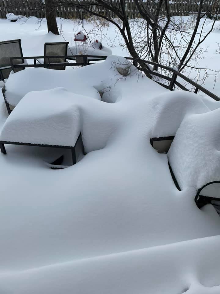
Photos:
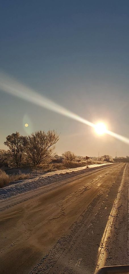
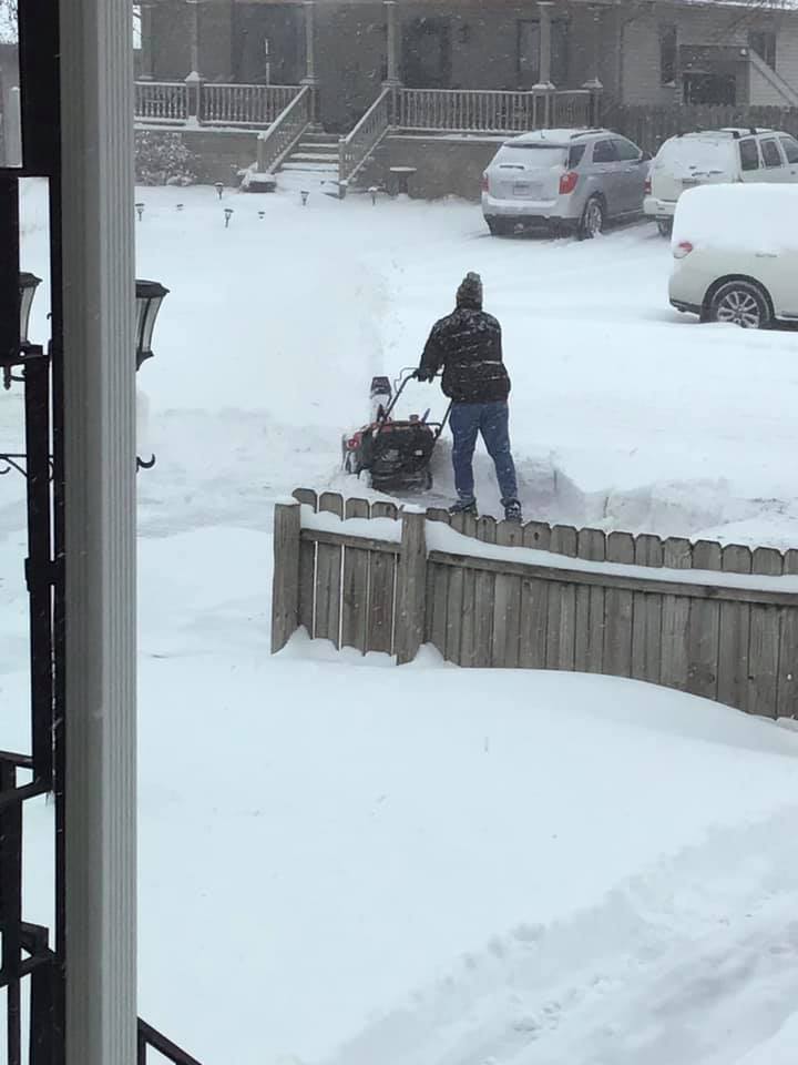
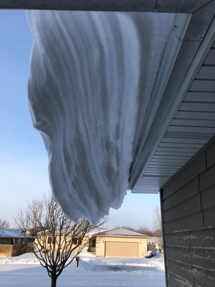
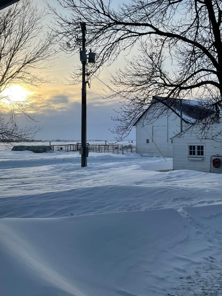
Enjoy these photos from across the area! Click on each photo for a larger version.
 |
.jpg) |
 |
 |
| Near Bloominton Photo by Christine James |
Grand Island Photo by Courtney Miller |
Henderson Photo by Eugene Thieszen |
Near Shelby Photo by Melanie McKinney |
 |
 |
 |
| Near Genoa Photo by Jamie Keehn-Burg |
Osceola Photo by John Oder |
Near Kearney Photo by Gena Hasbrouck |
 |
 |
 |
 |
| Near Elwood Photo by Codina Moore |
Grand Island Photo by Beatrice Vasquez |
Hastings Photo by Loree Harig |
Near Henderson Photo by Wendy Janzen |
 |
 |
 |
| Near McCool Junction Photo by Chandra Steward |
Grand Island Photo by Julie Buchanan |
Near Hebron Photo by Amber Heinrichs |
 |
 |
 |
| Near Clarks Photo by Jaleigh Steinke |
Harvard Photo by Taylor Grimes |
Hastings Photo by Tonya Peterson |
 |
 |
 |
| Superior Photo by Crystal Fangmeyer |
Near Hastings Photo by Adams County EM |
York Photo by Paula Jean |
 |
Media use of NWS Web News Stories is encouraged! Please acknowledge the NWS as the source of any news information accessed from this site. |
|