A significant heat wave continues for the Rockies, Northern Plains, and Great Lakes into the Mid-Atlantic, peaking in intensity through midweek and lingering across parts of the Northern Plains and Midwest until this weekend. Excessive rainfall my bring life-threatening and locally catastrophic flash and urban flooding across portions of southwestern Texas through early Friday. Read More >
Overview:
|
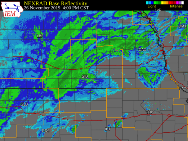
This early-season winter storm system brought significant snowfall and travel impacts to a large portion of Nebraska and portions of northern Kansas the Tuesday before Thanksgiving. The first round of precipitation moved into the area from the west from roughly 5am to 9am on Tuesday, November 26th. This brought a light coating of snow to parts of central Nebraska, most of northern Kansas saw a mix of rain and snow with little to no accumulation. Additional snow developed from late morning, reaching from northwest Kansas up through central Nebraska. Throughout the event, a mix of sleet and freezing rain was observed on southern portions of the main snow band. Warm ground temperatures caused some melting as snow fell, but most of central Nebraska still had slick and snow-covered roads by early afternoon. The heaviest band of snow then developed and moved across the area roughly between 3pm and 8pm. Snow rates of 1" per hour were common, and rates were likely were as high as 2" per hour at times. For example, the cooperative observer in Greeley, NE had around 5" of snow in roughly 4 hours between 3:30 and 7:30pm. Northwest winds also picked up quite a bit after 6pm, and many locations saw 40 to 45 MPH wind gusts. Despite the wet and dense snow, this led to some blowing snow and poor visibility. As a result, Interstate 80 was closed in both directions from Kearney to York for several hours Tuesday evening. By the time snow exited the area around midnight, many locations had seen 6 to 10 inches of snow. The heaviest totals were centered near a line from Cambridge to Holdrege to Grand Island to Fullerton. Amounts decreased significantly to the south and east, though. Areas southeast of a line from Phillipsburg, KS to Smith Center, KS to Hebron, NE generally saw less than 1" of snow. This snowfall also broke the daily records for November 26th at both Grand Island and Hastings. These record totals were 8.2" and 7.1", respectively.
|
|
Snowfall Information:
The image of storm total snow amounts below was compiled from a combination of reports from
NWS Cooperative Observers and the Community Collaborative Rain, Hail & Snow Network (CoCoRaHS)
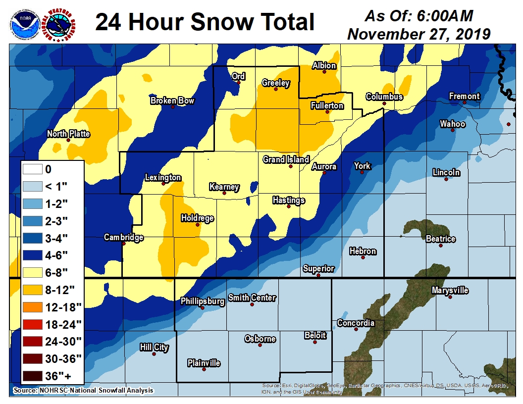 |
| Storm total (24 hour) snowfall image ending the morning of Nov. 27. NOTE: This image is a "general estimate" of totals and may not be exact at every location. |
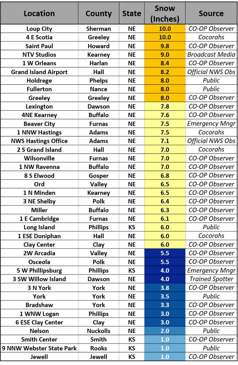
The table of storm total snow amounts below was compiled from a combination of reports from
NWS Cooperative Observers (COOP) and the Community Collaborative Rain, Hail & Snow Network (CoCoRaHS),
as well as emergency managers and the public.
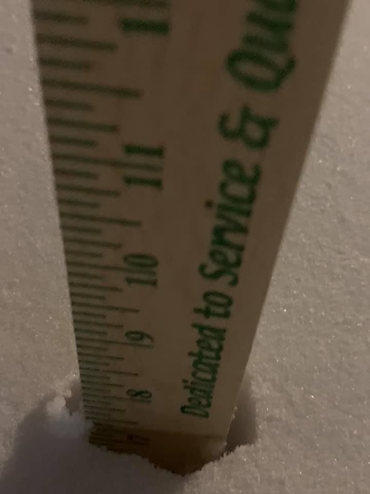
Photos:
 |
 |
 |
 |
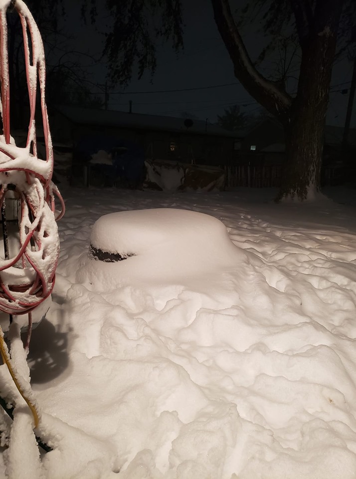
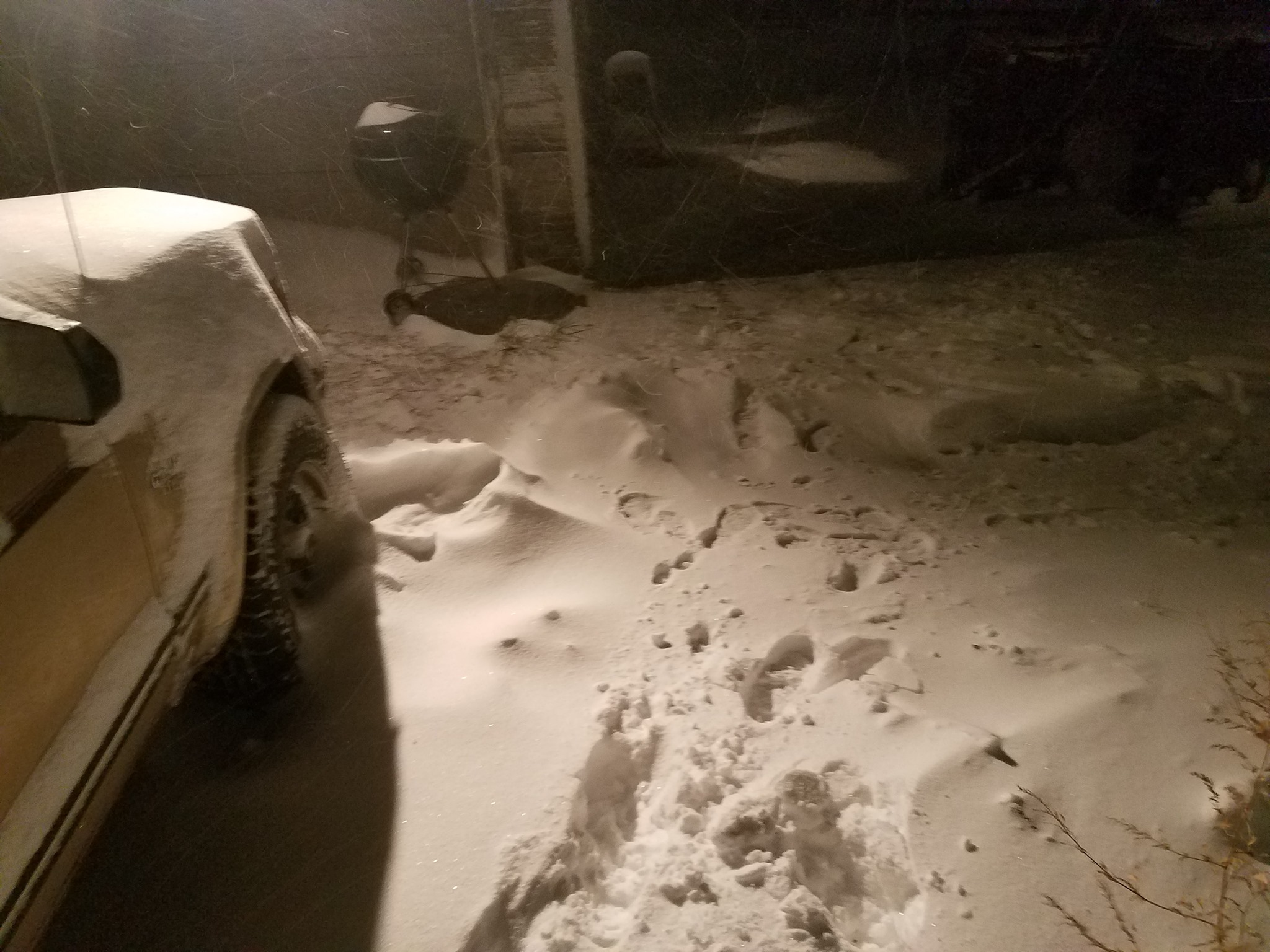
| Holdrege, NE photo by Ron Furgison |
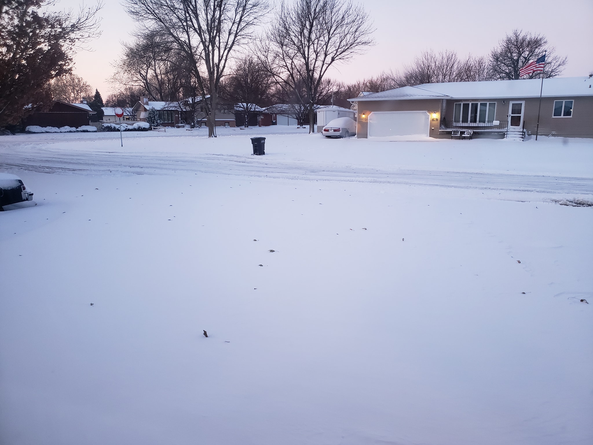
Lexington, NE photo by Nicole Daily Farber |
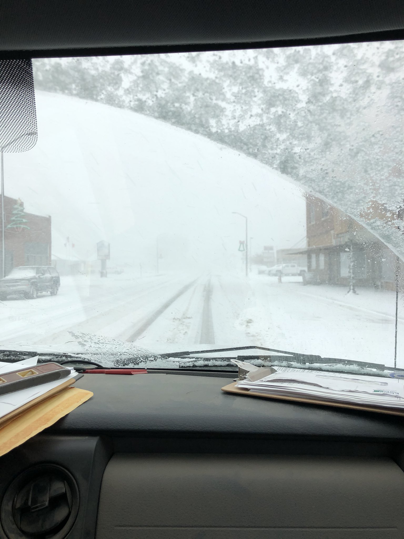
North of Kearney, NE photo by Karyn Shoolts |
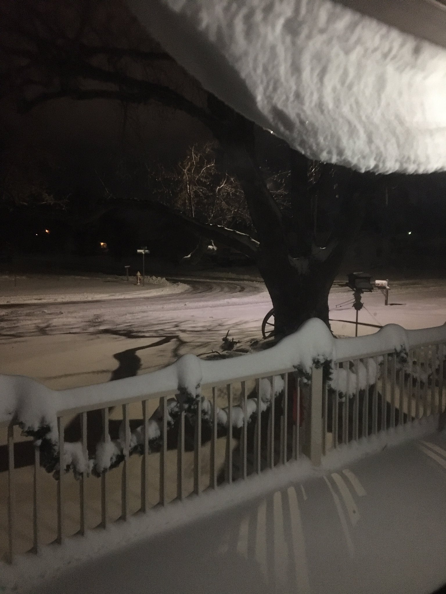
SE Furnas County, NE photo by Shellie Werich |
 |
 |
 |
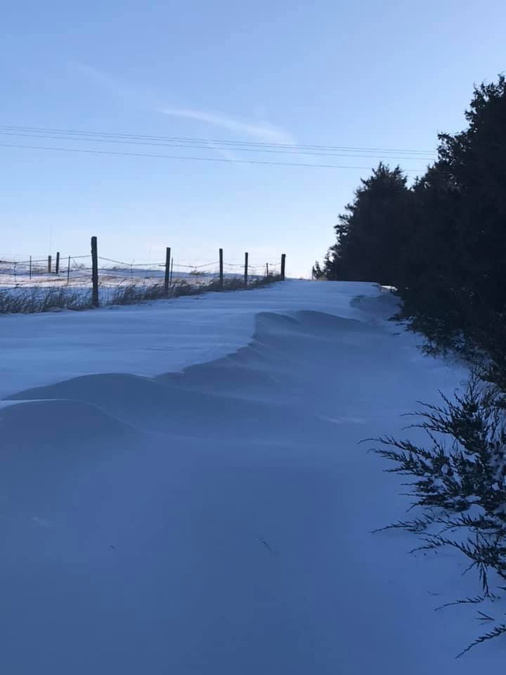
| Loomis, NE photo by Ron Furgison |
Overton, NE photo by Sabrina Johnson |
Grand Island, NE photo by Katie L Junggren |
 |
 |
||
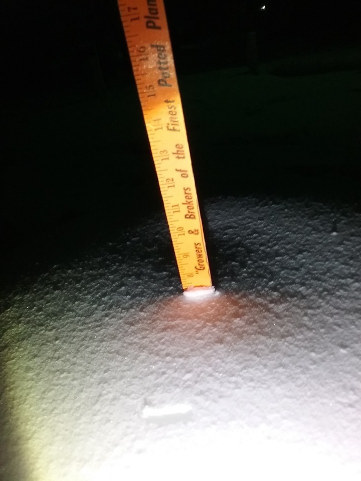
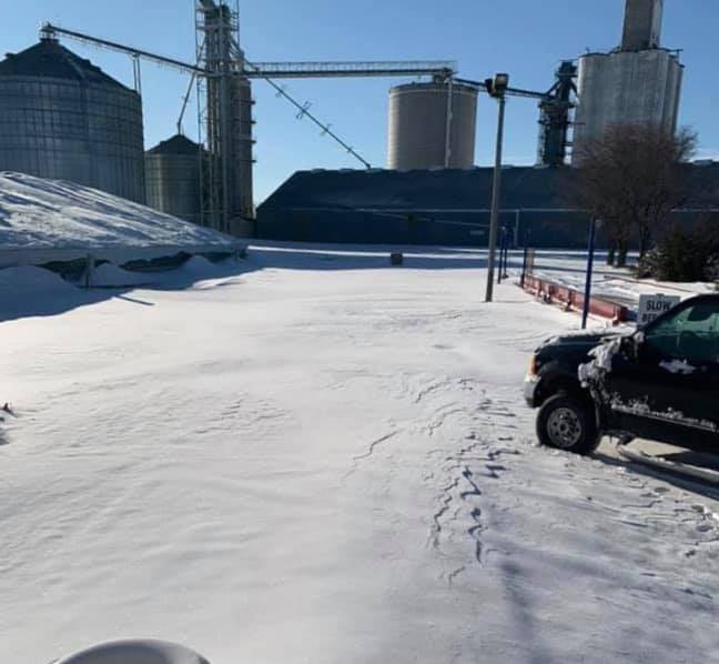
| Central City, NE photo by Nathan Erickson |
Kearney, NE photo by Danny Baer |
 |
Media use of NWS Web News Stories is encouraged! Please acknowledge the NWS as the source of any news information accessed from this site. |
|