
Thunderstorms with severe wind gusts and hail will be possible today across parts of the central Plains, and from the Missouri Valley into the upper Mississippi Valley. Heavy rain associated with the thunderstorms may also produce flash/urban flooding. Critical fire weather conditions expected in the Great Basin and interior Northwest. Dangerous heat continues across the Southwest and Southeast. Read More >
Overview
|
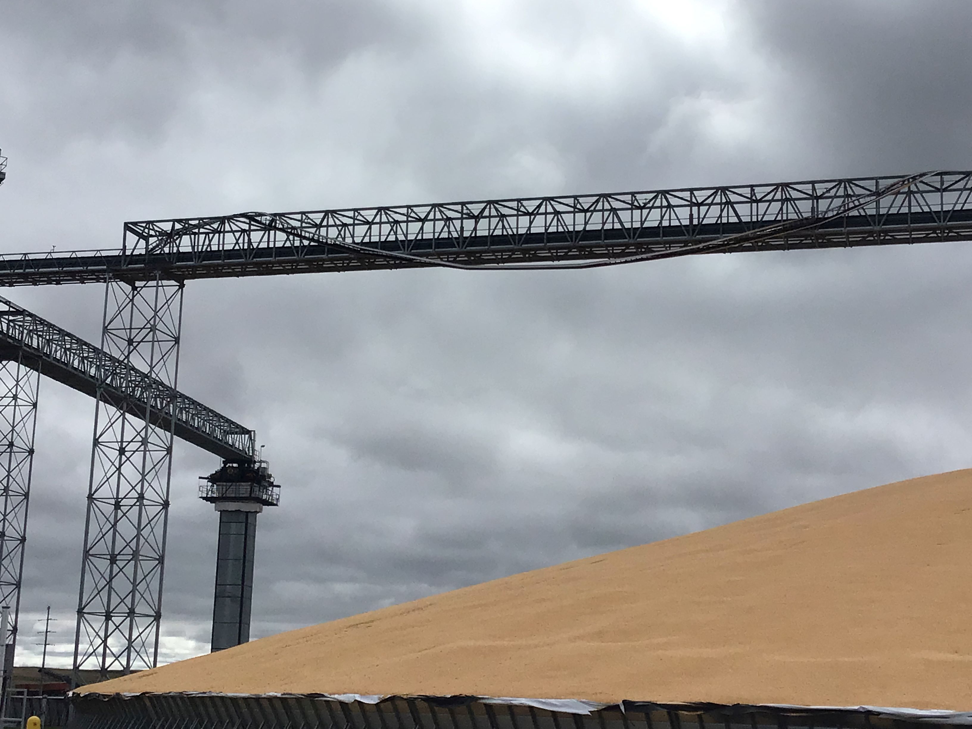
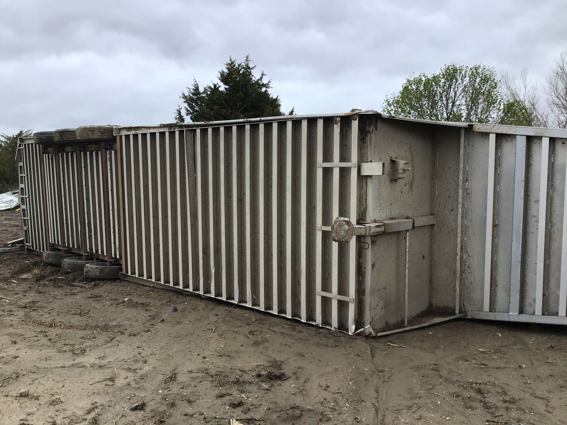
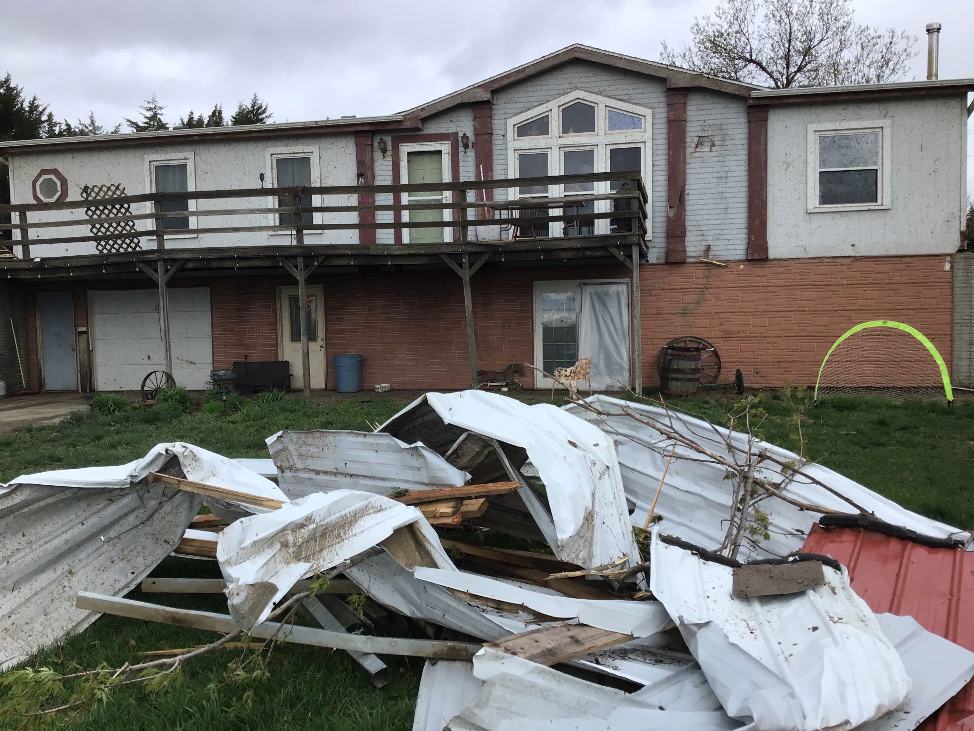
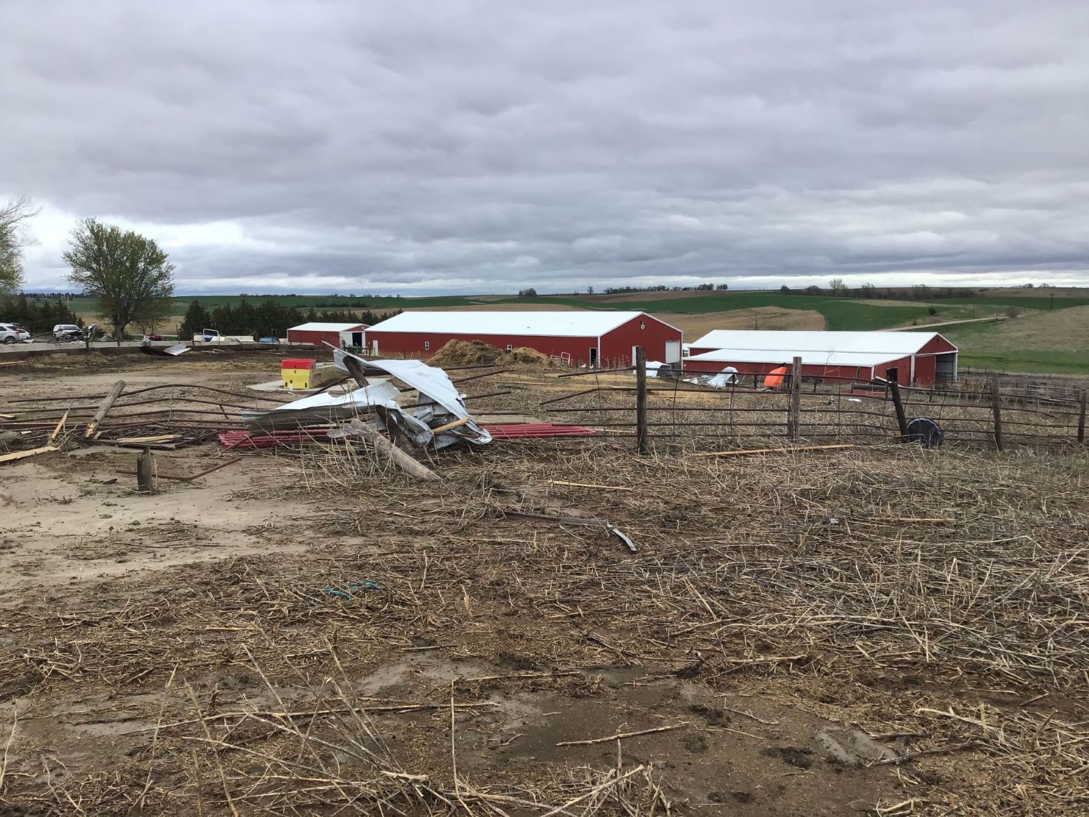
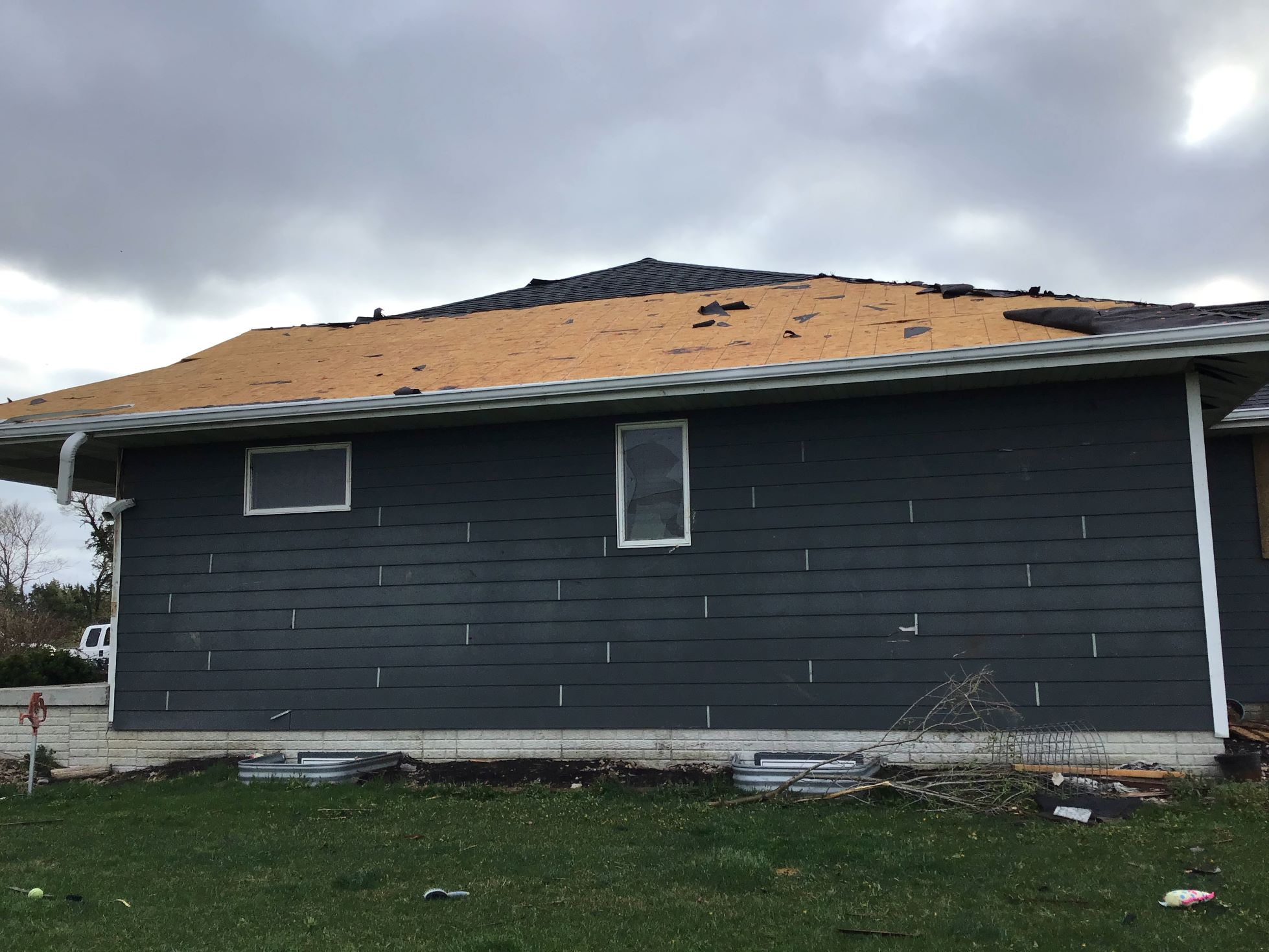
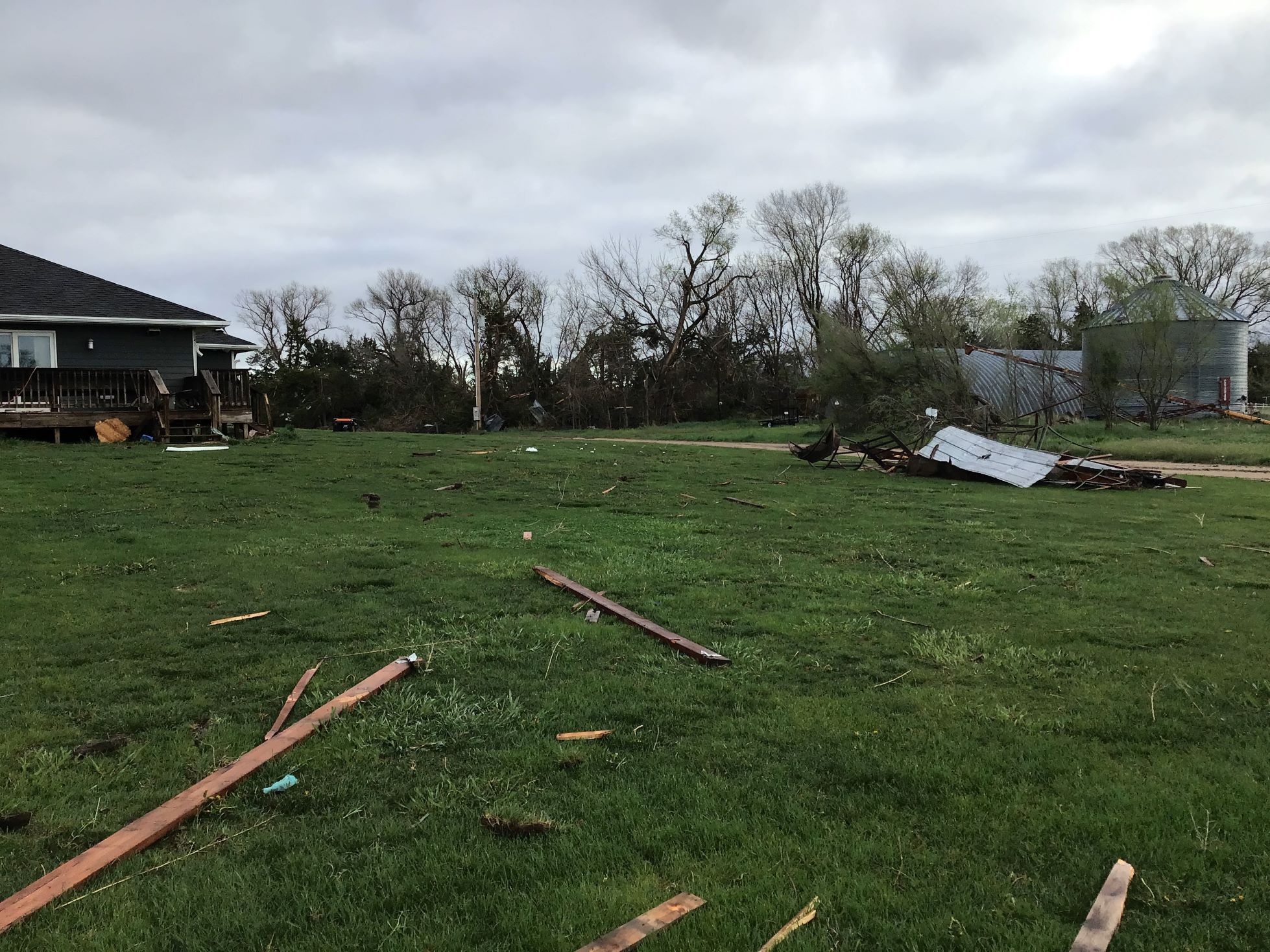
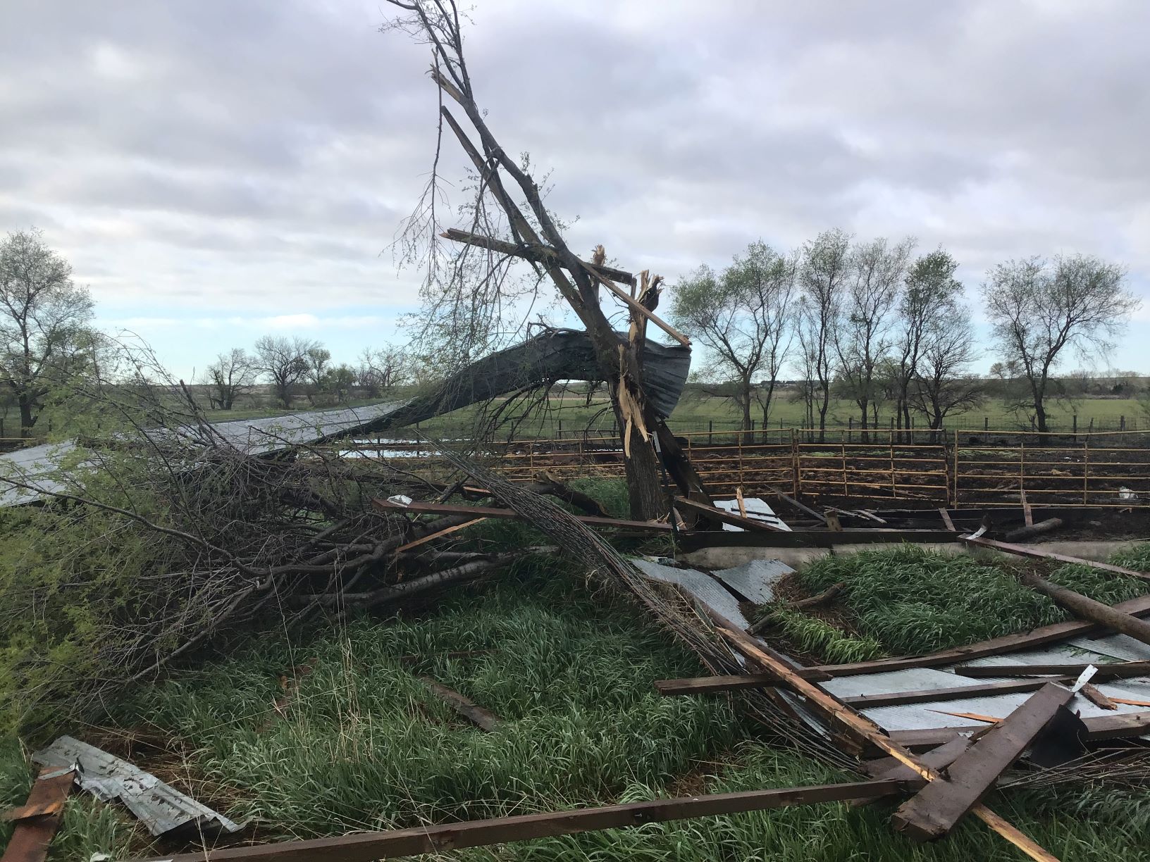
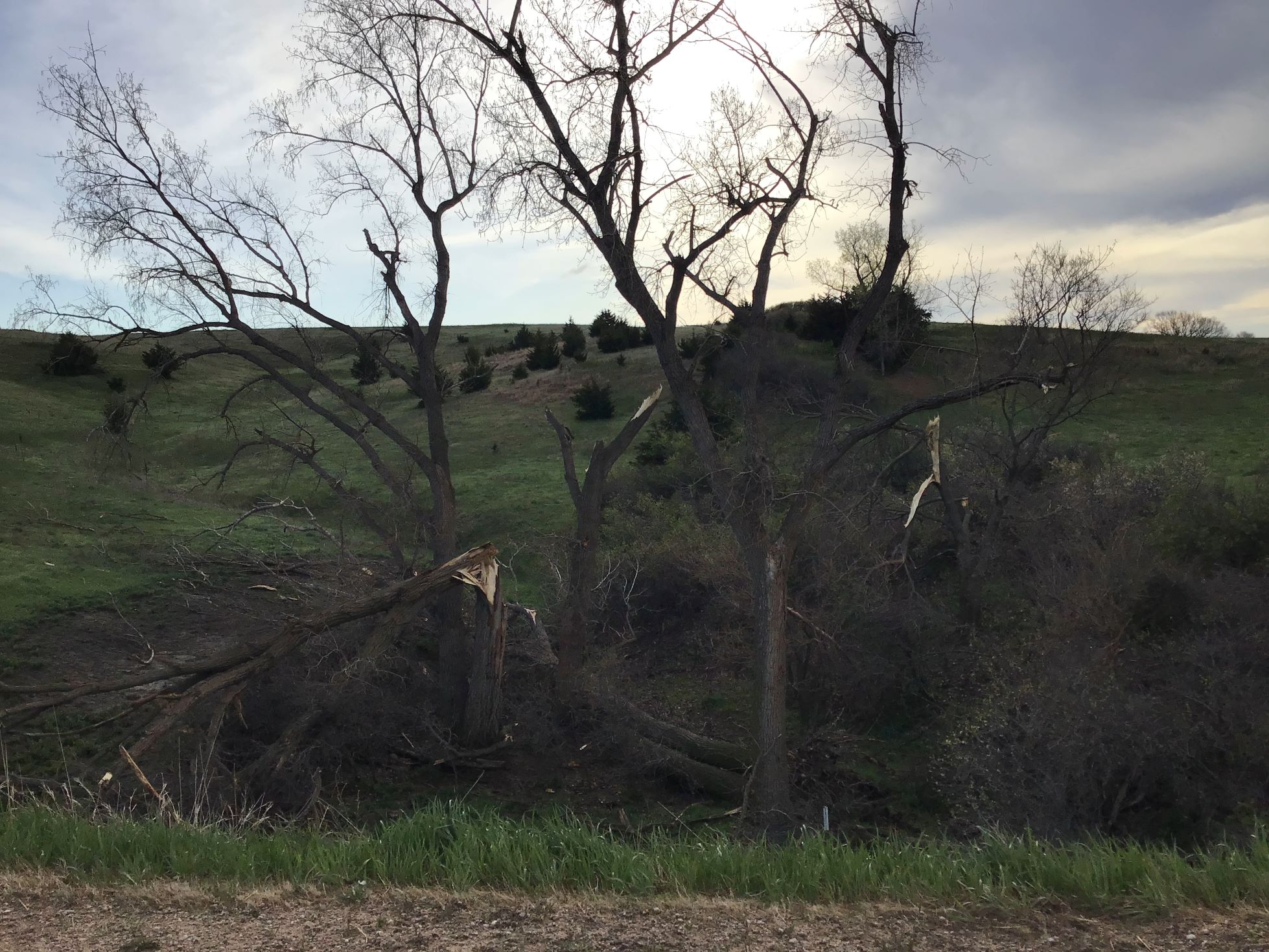
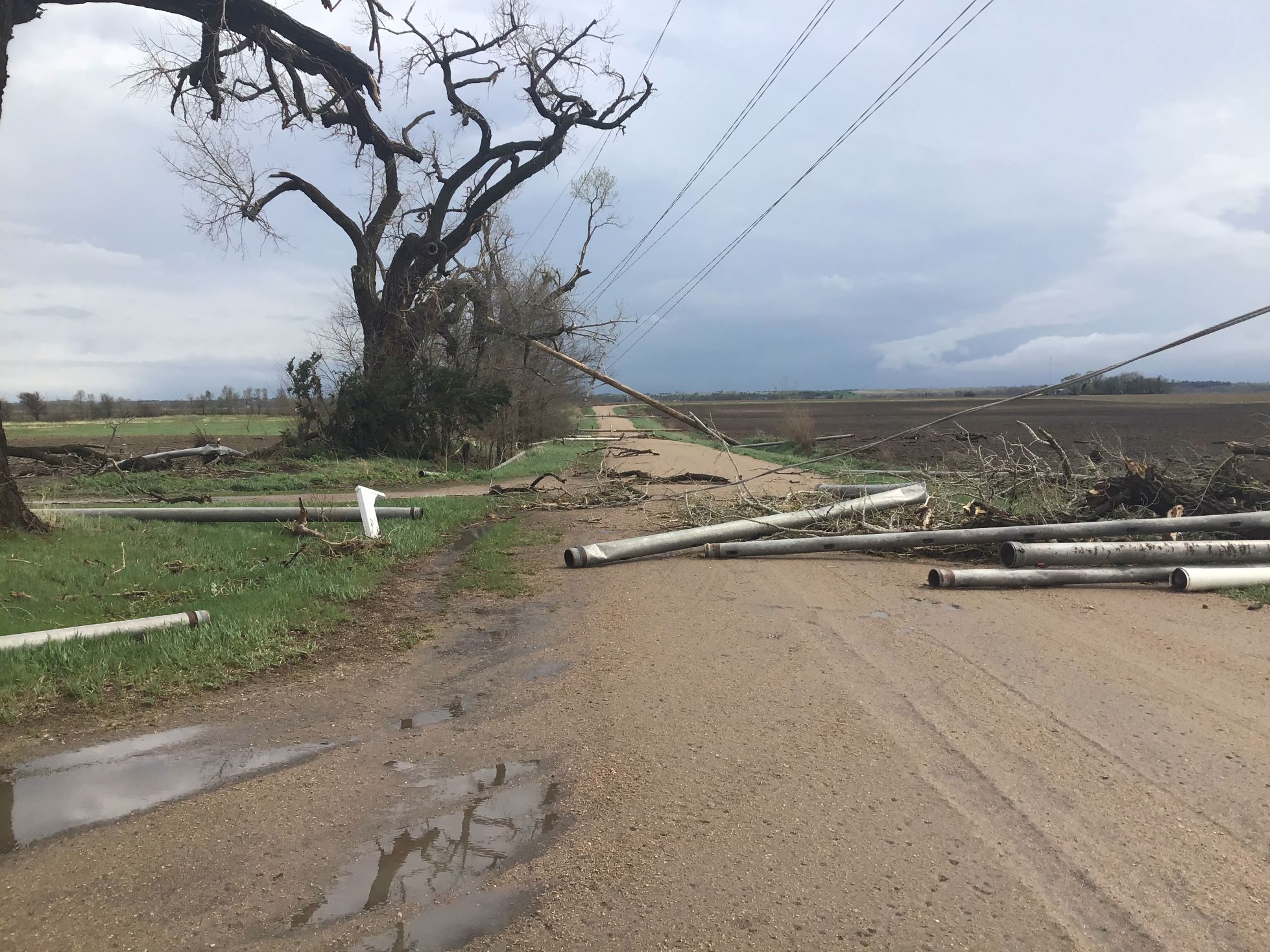
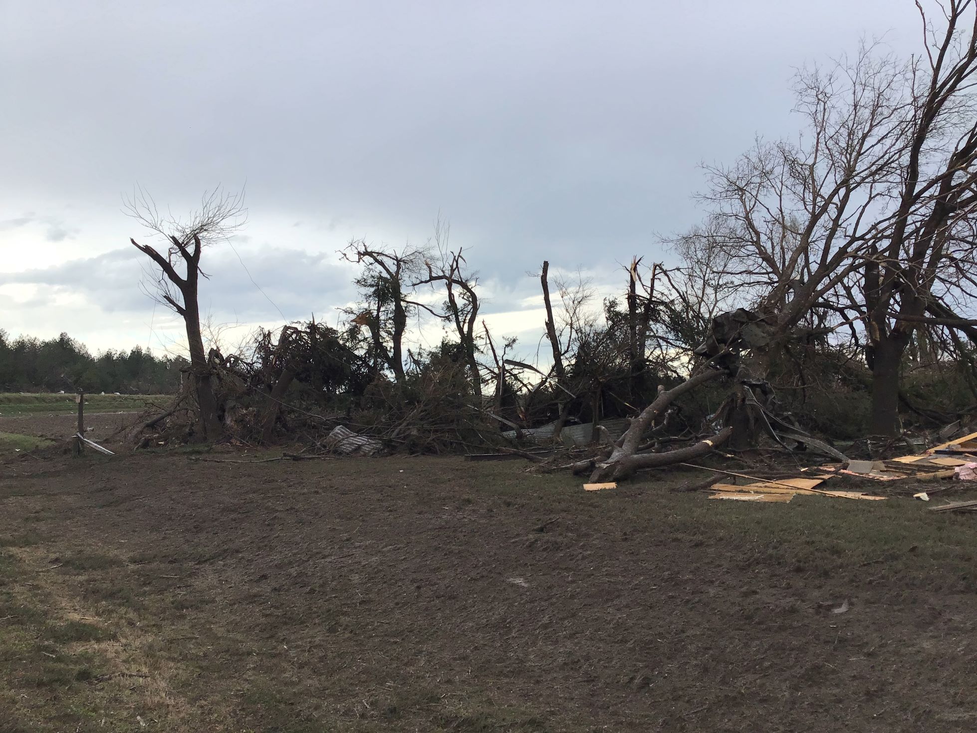
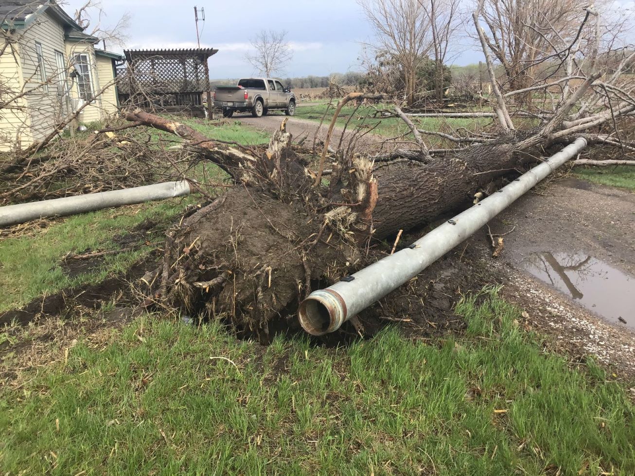
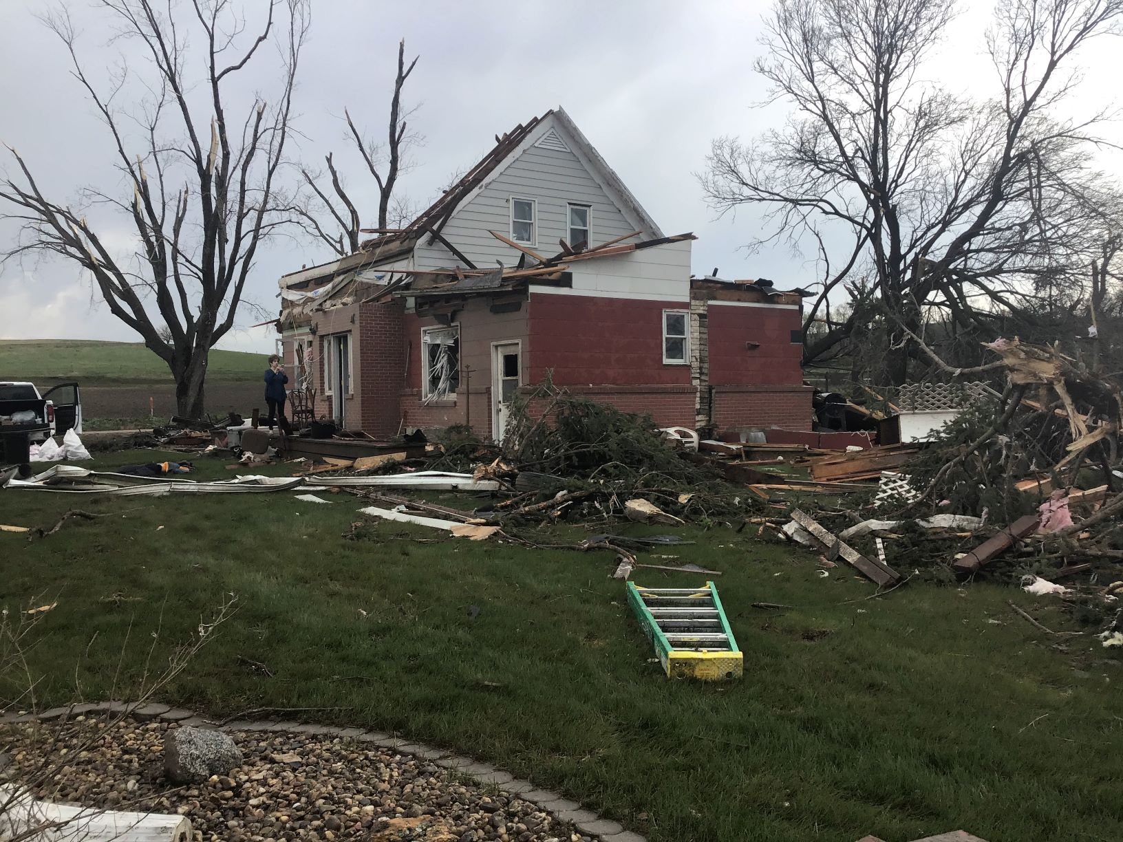
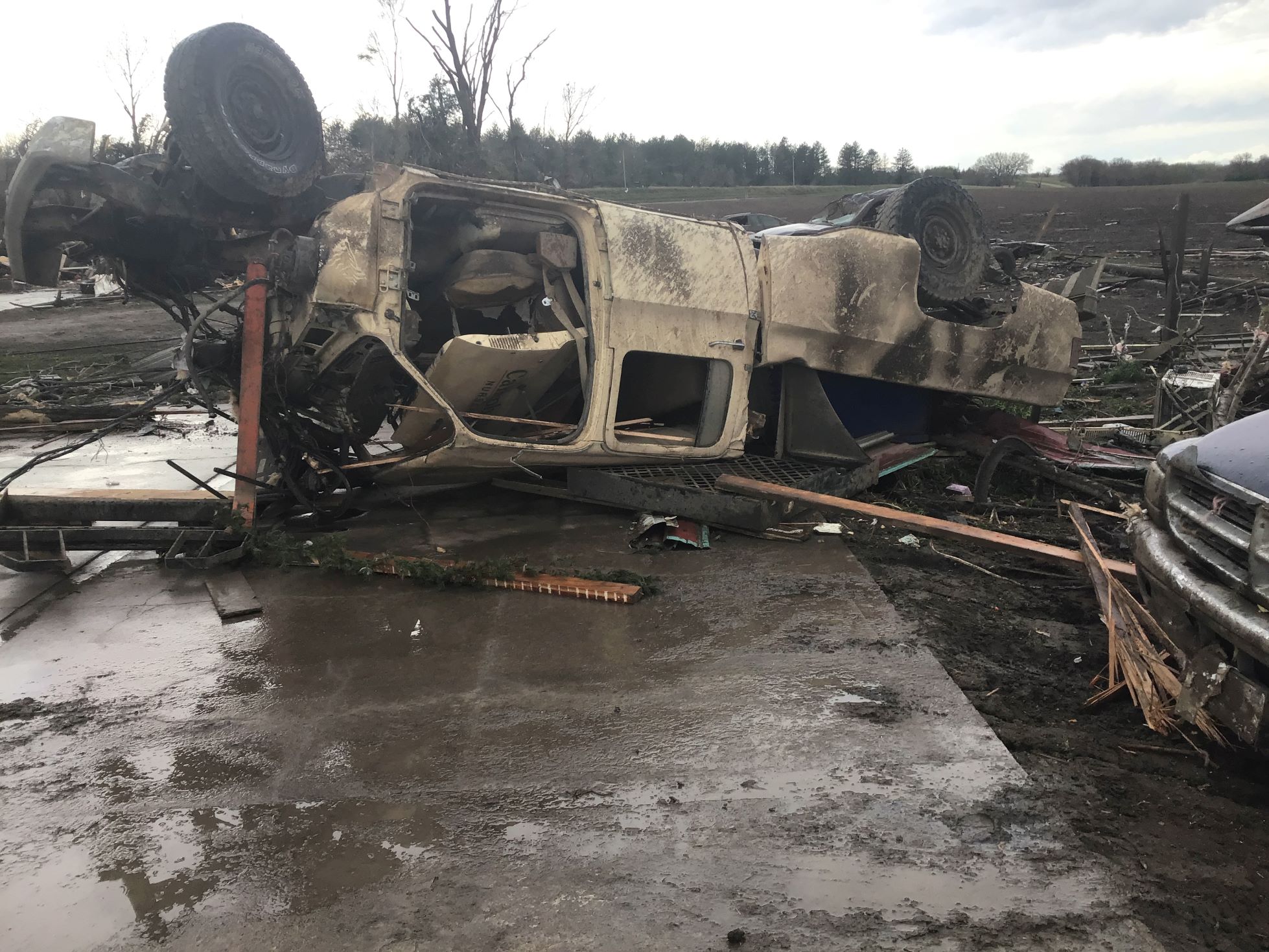
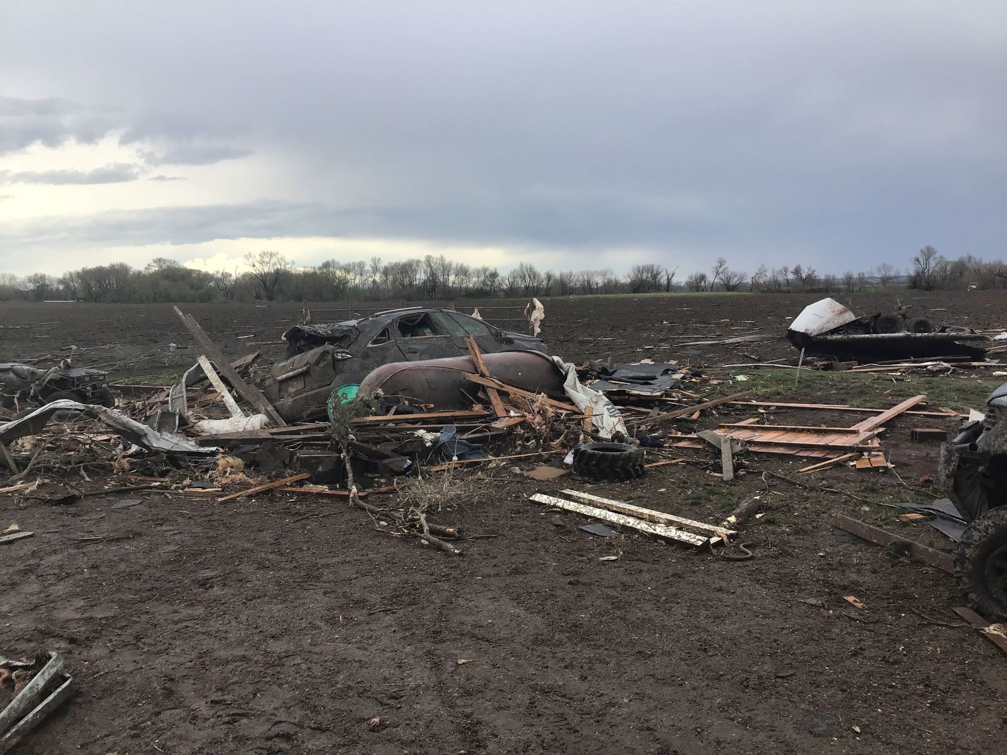
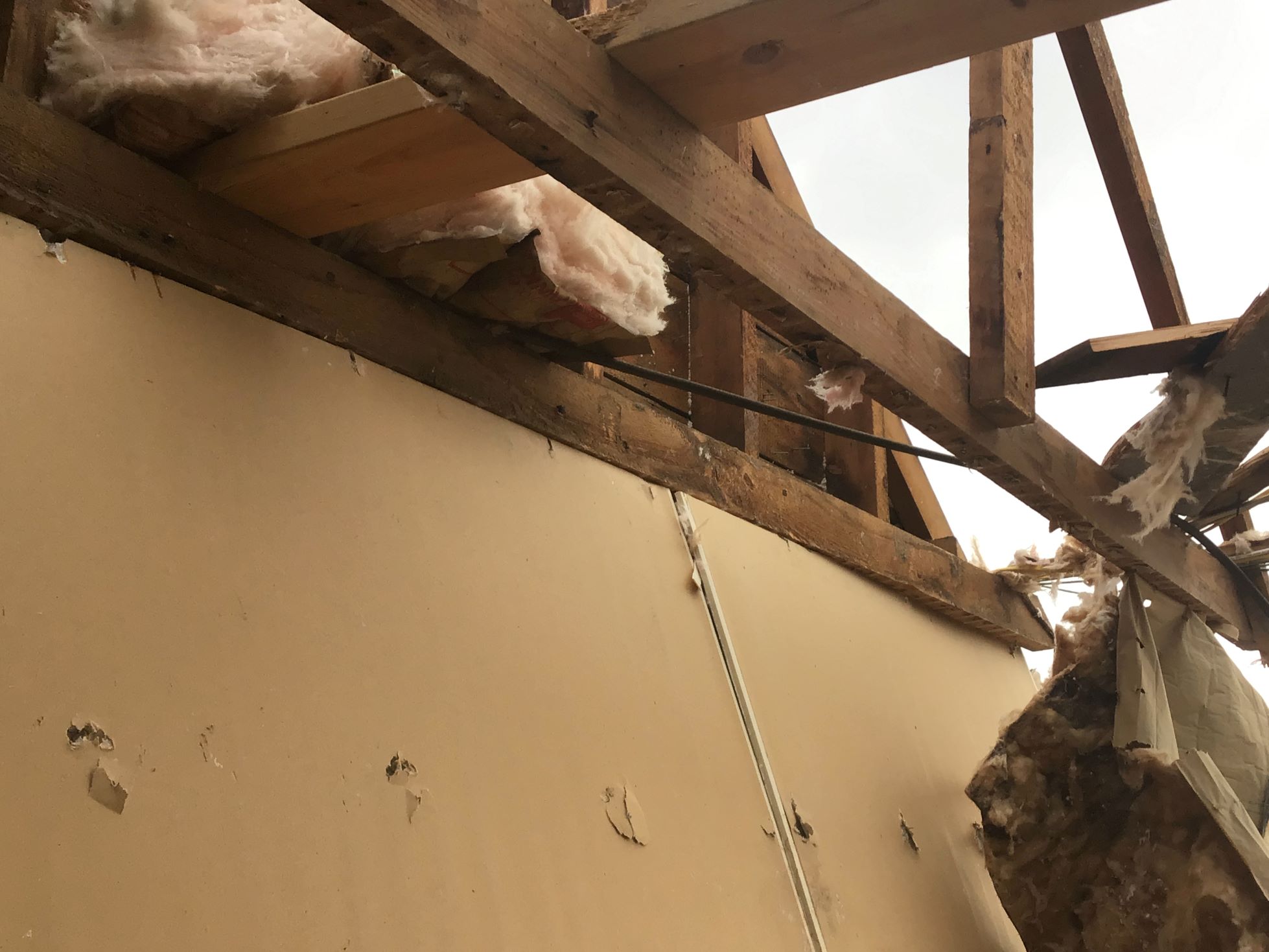
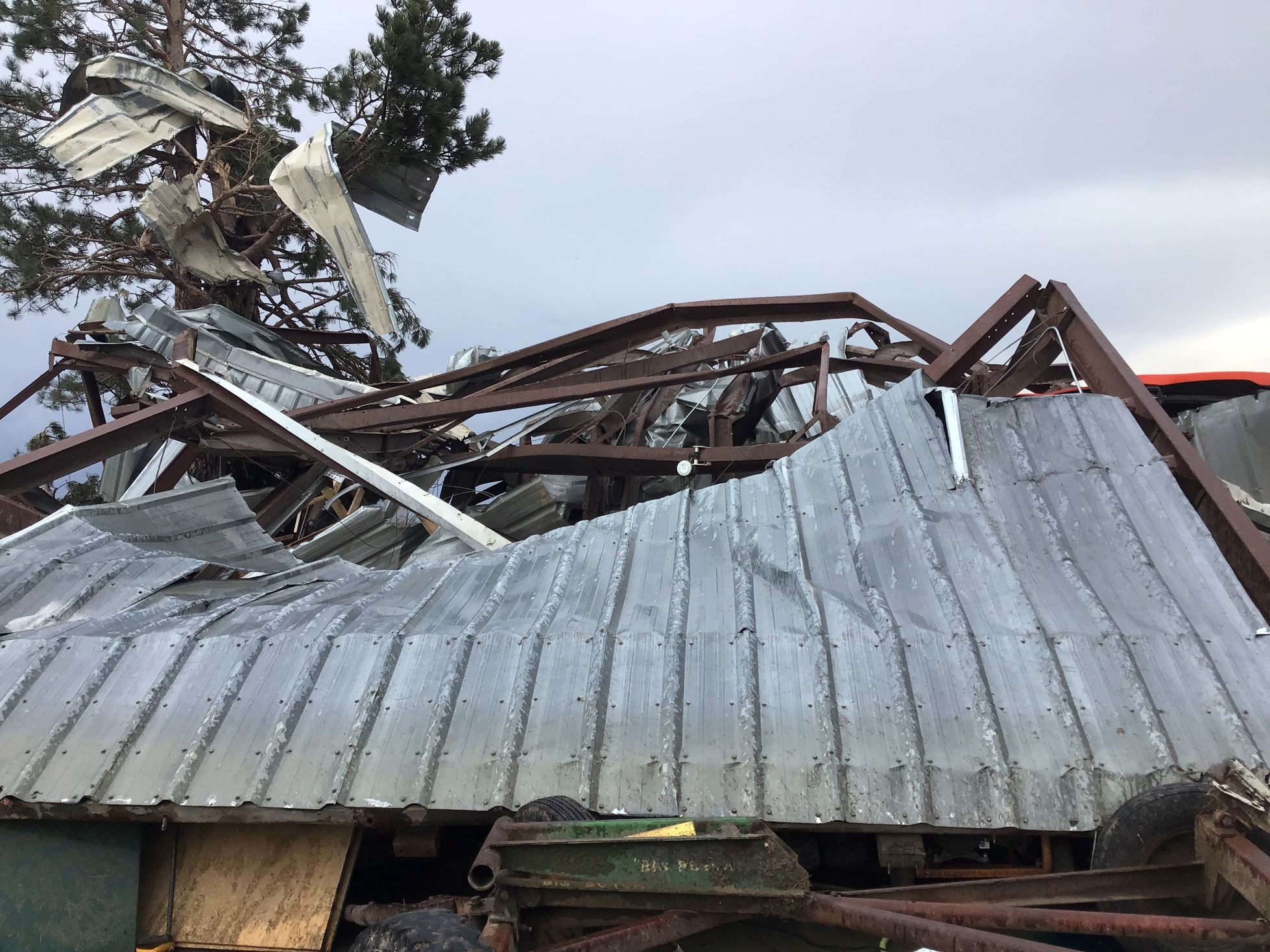
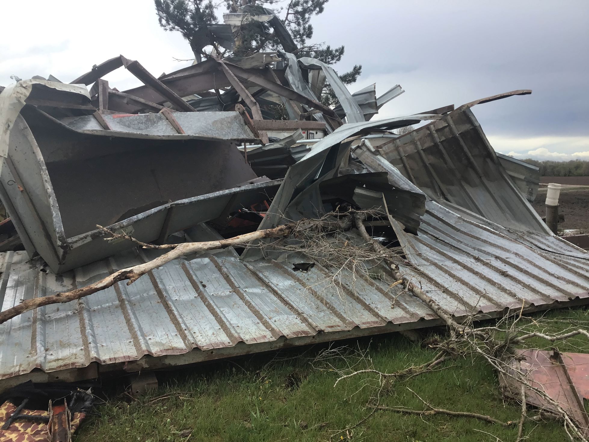
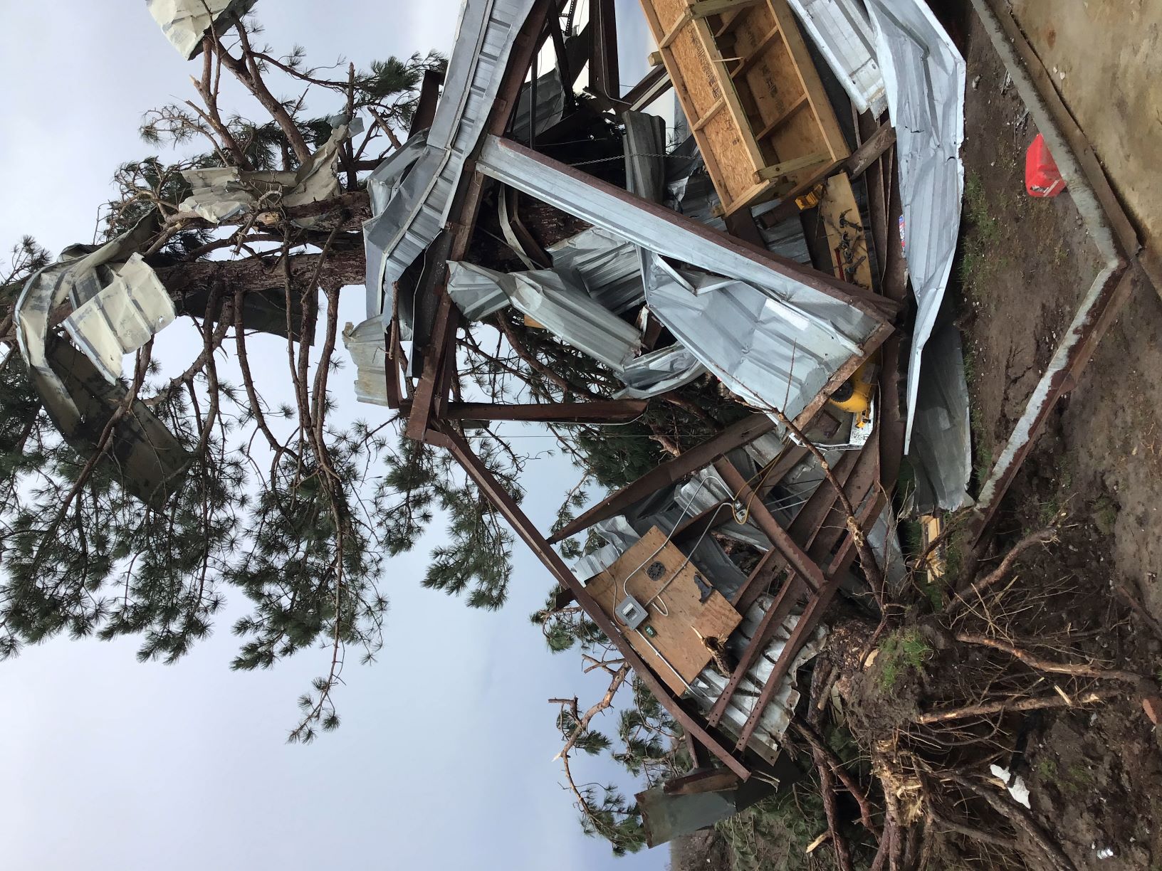
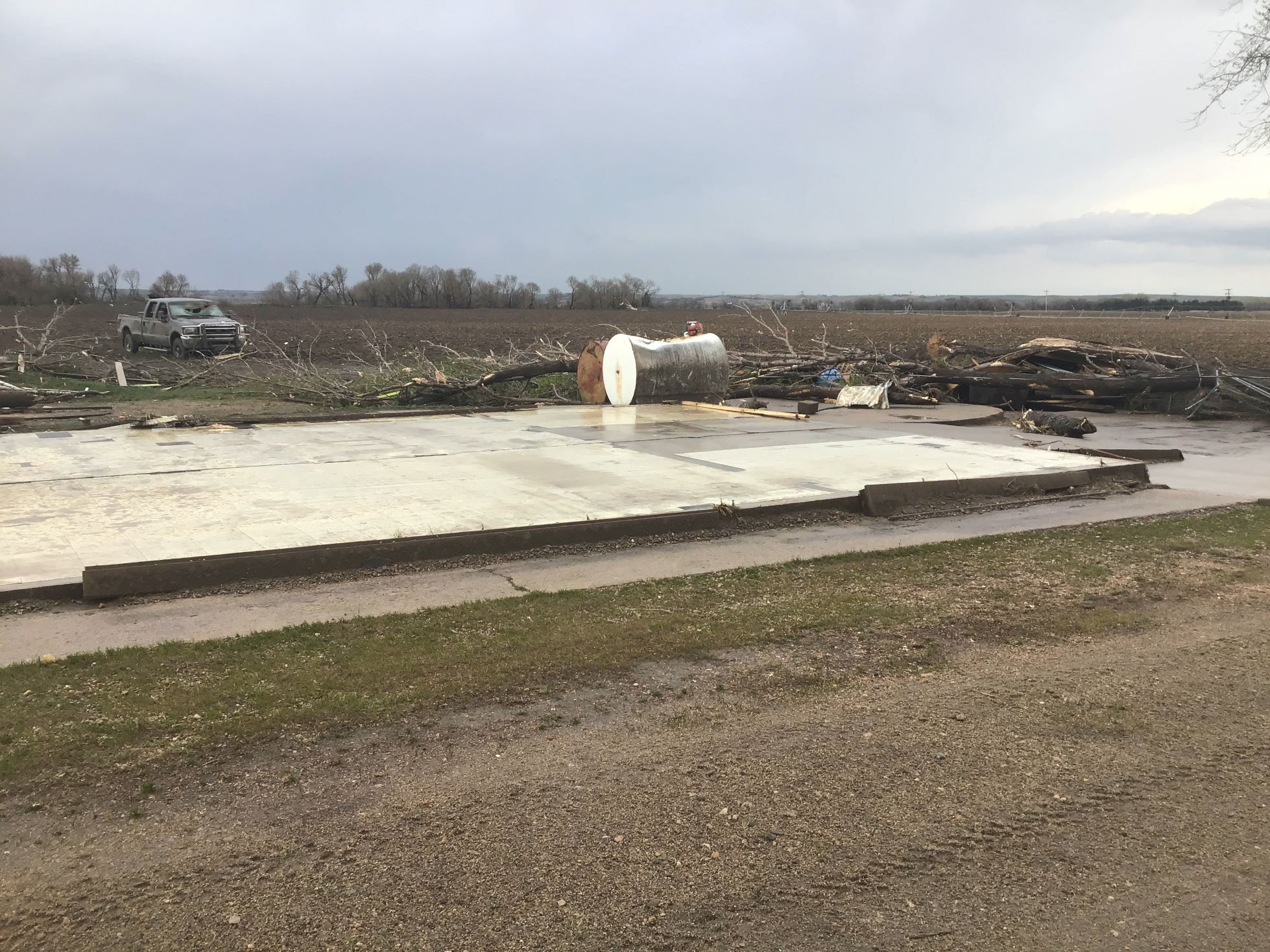
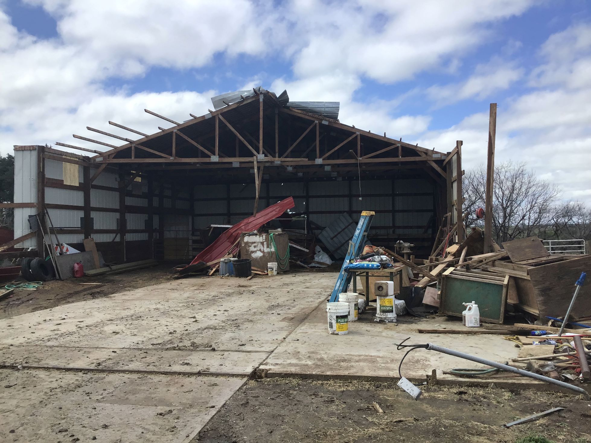
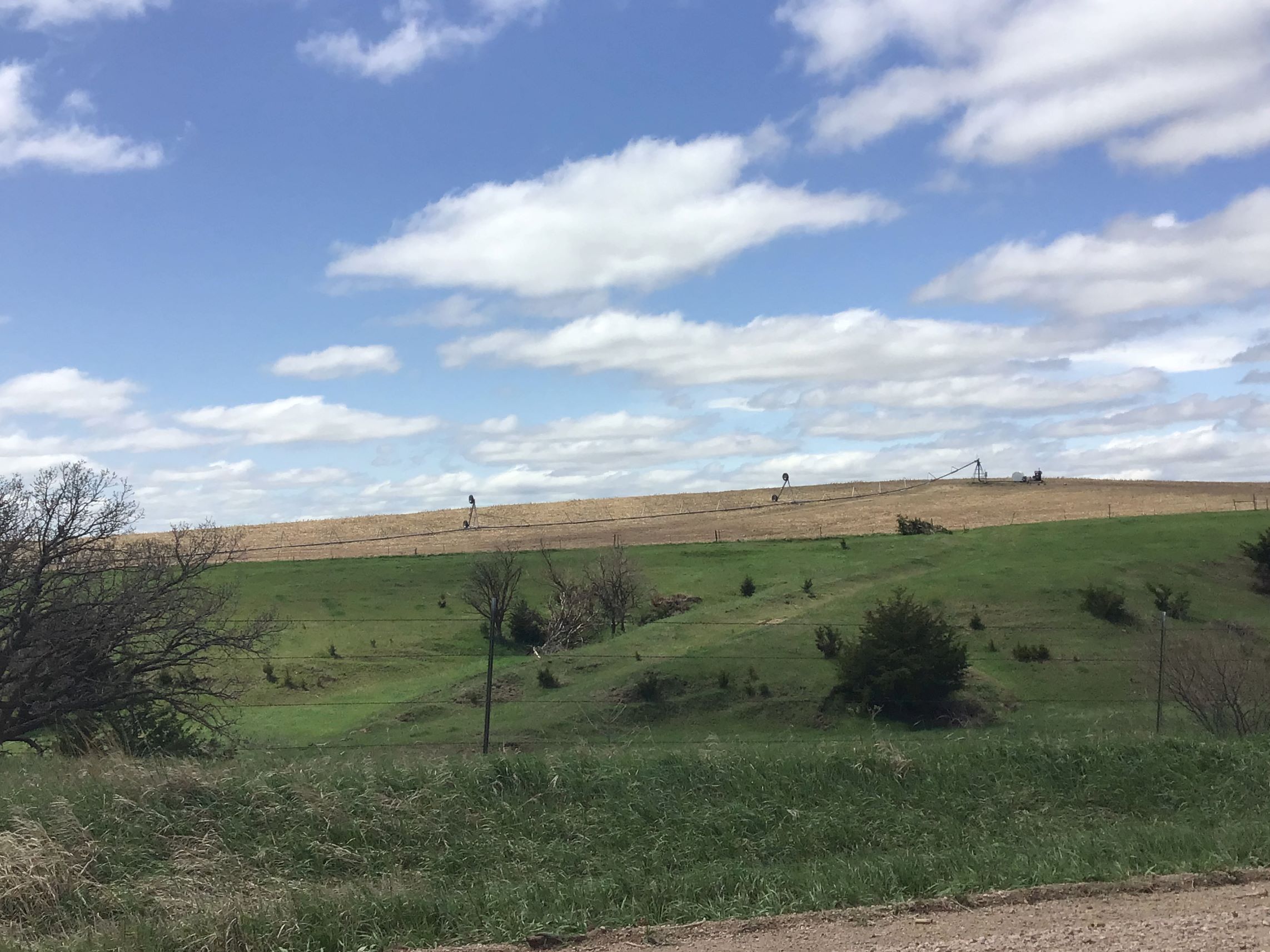
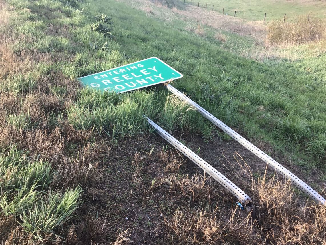
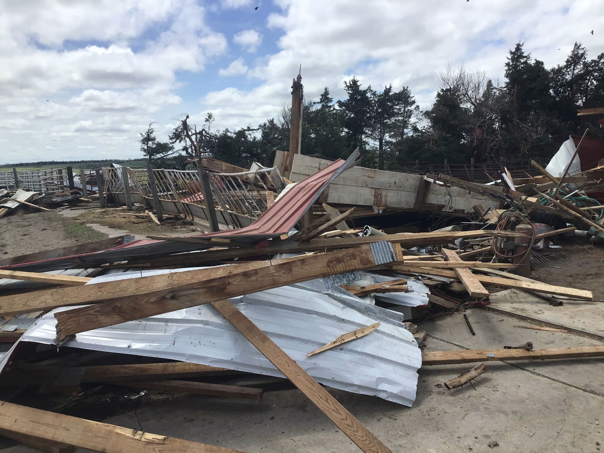
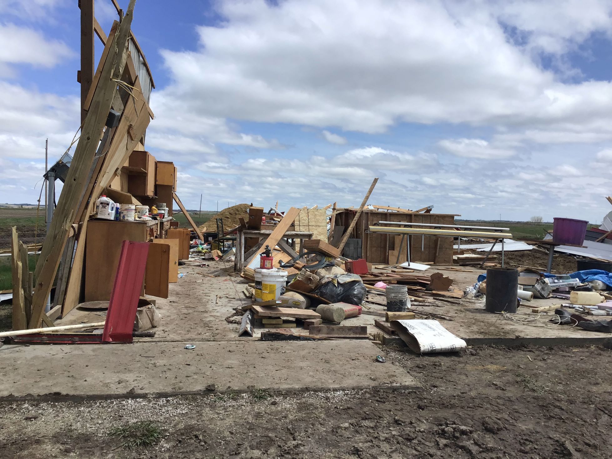
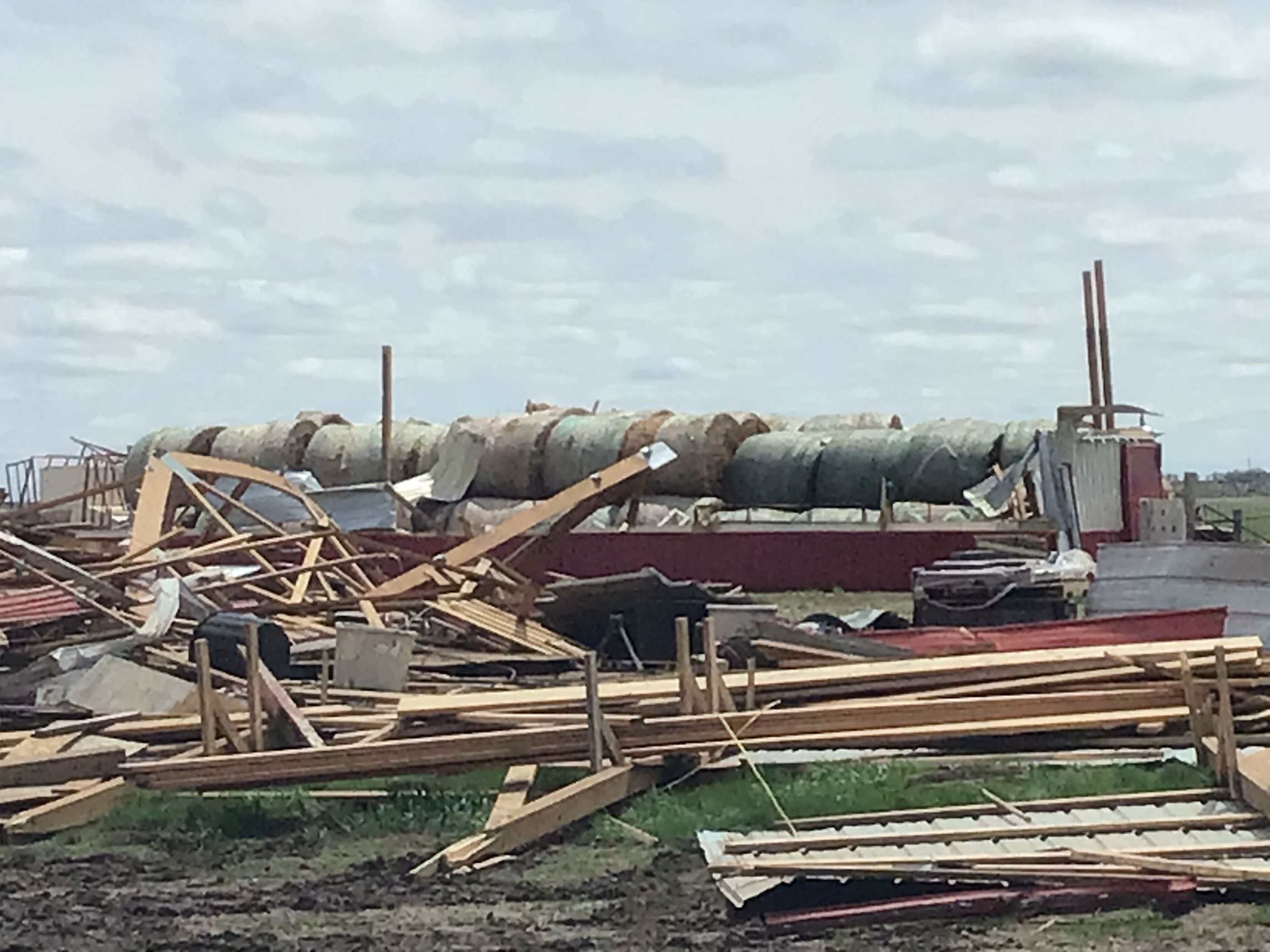
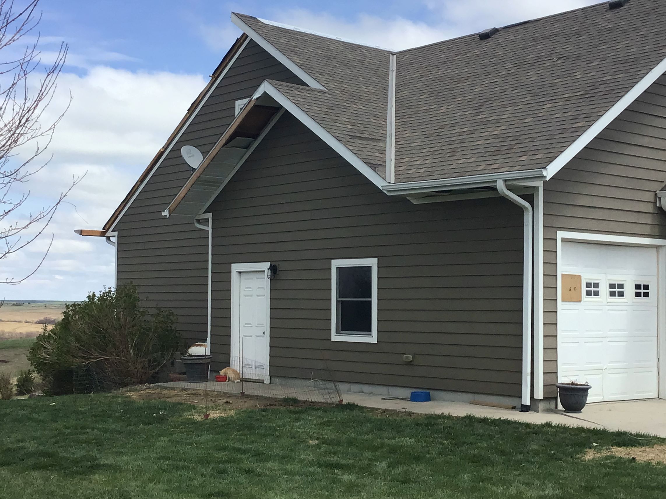
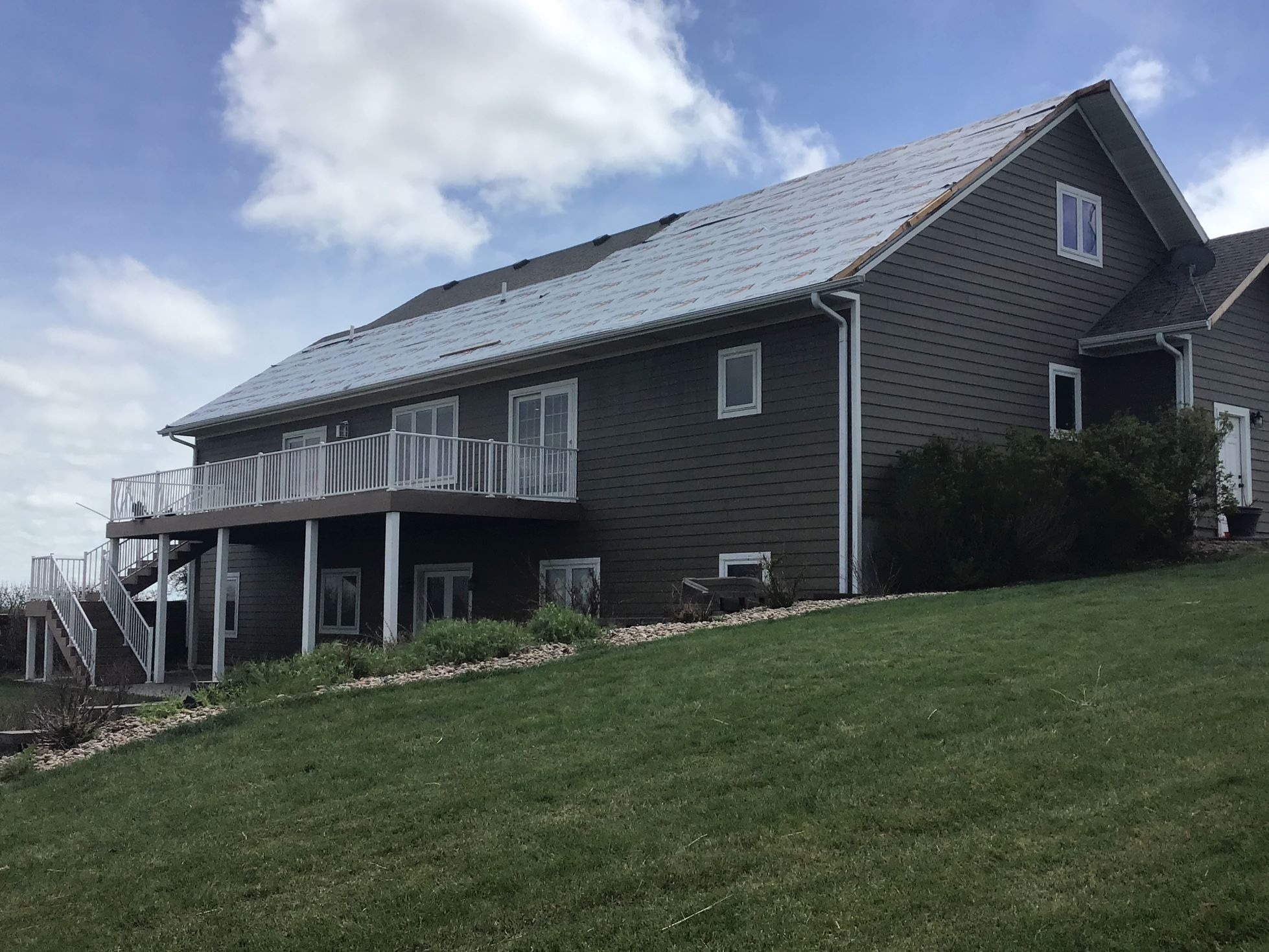
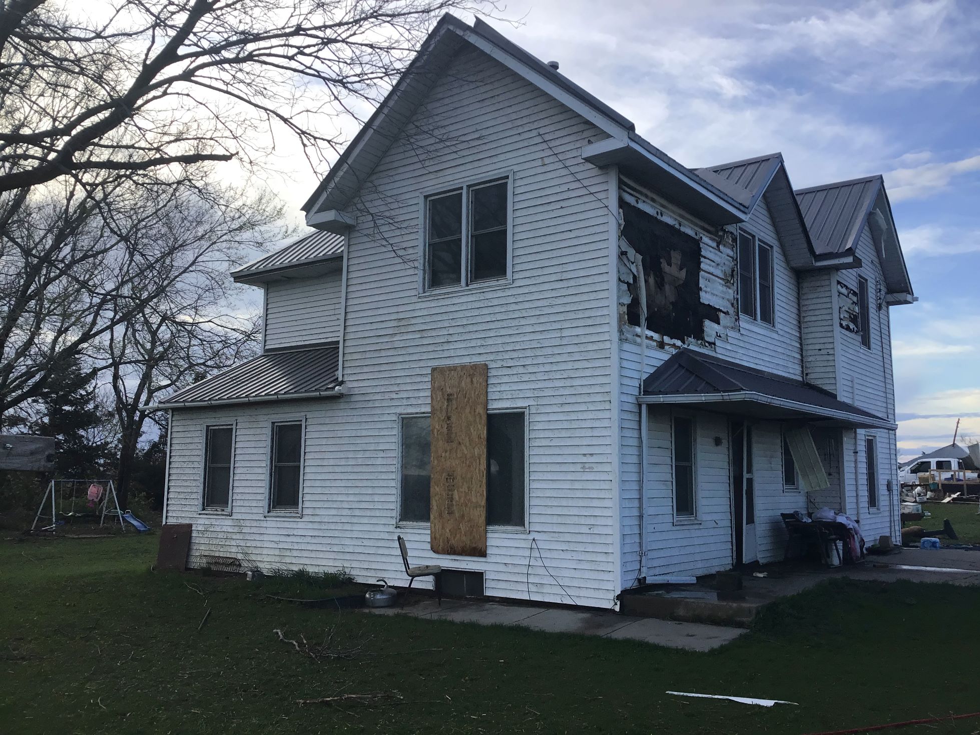
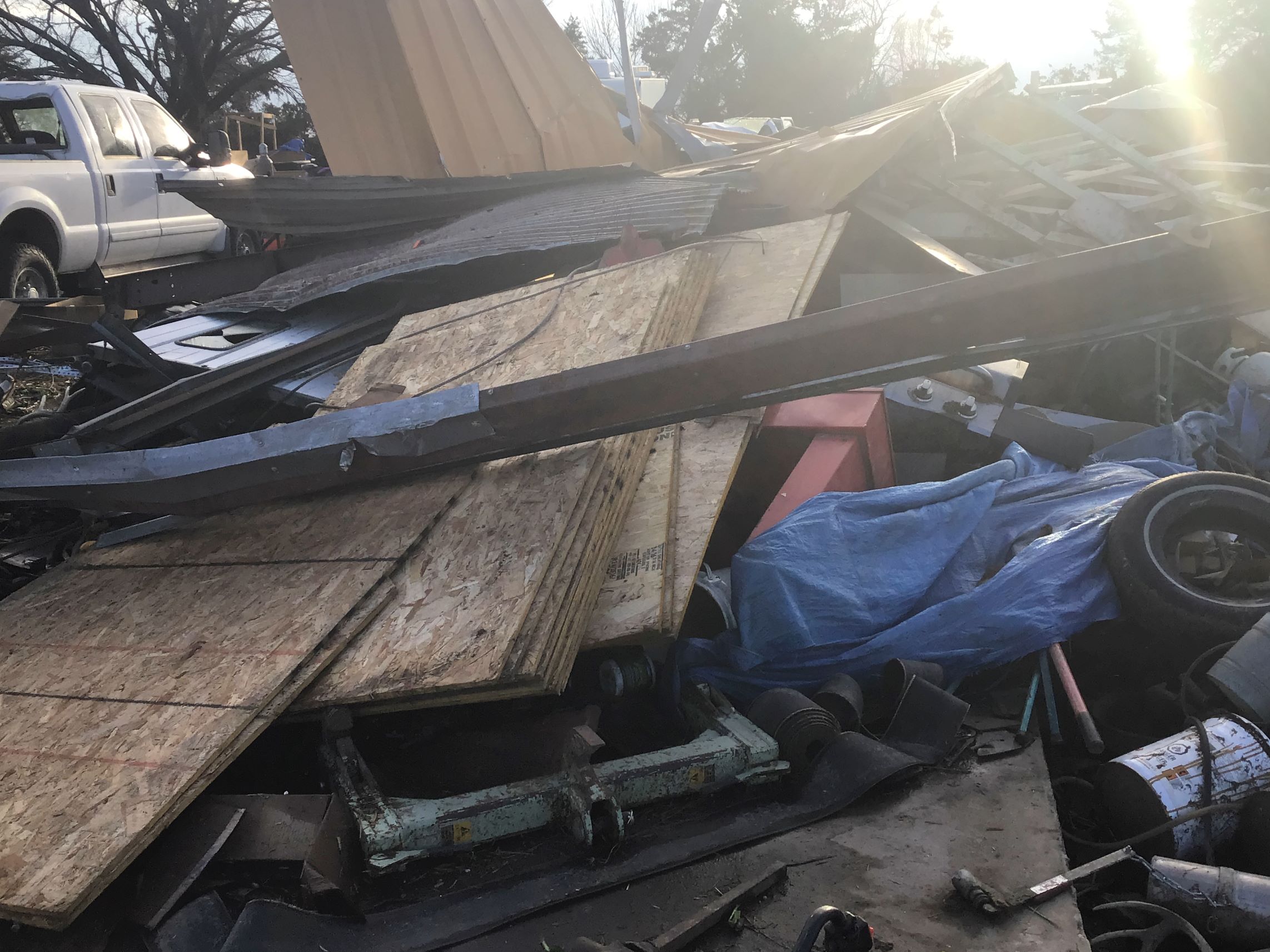
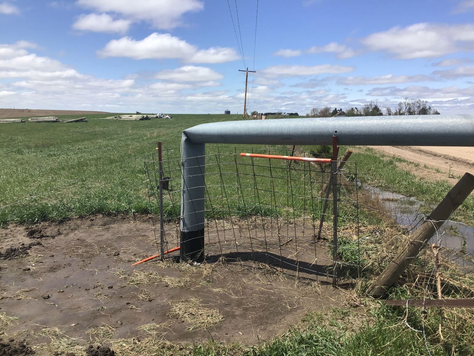
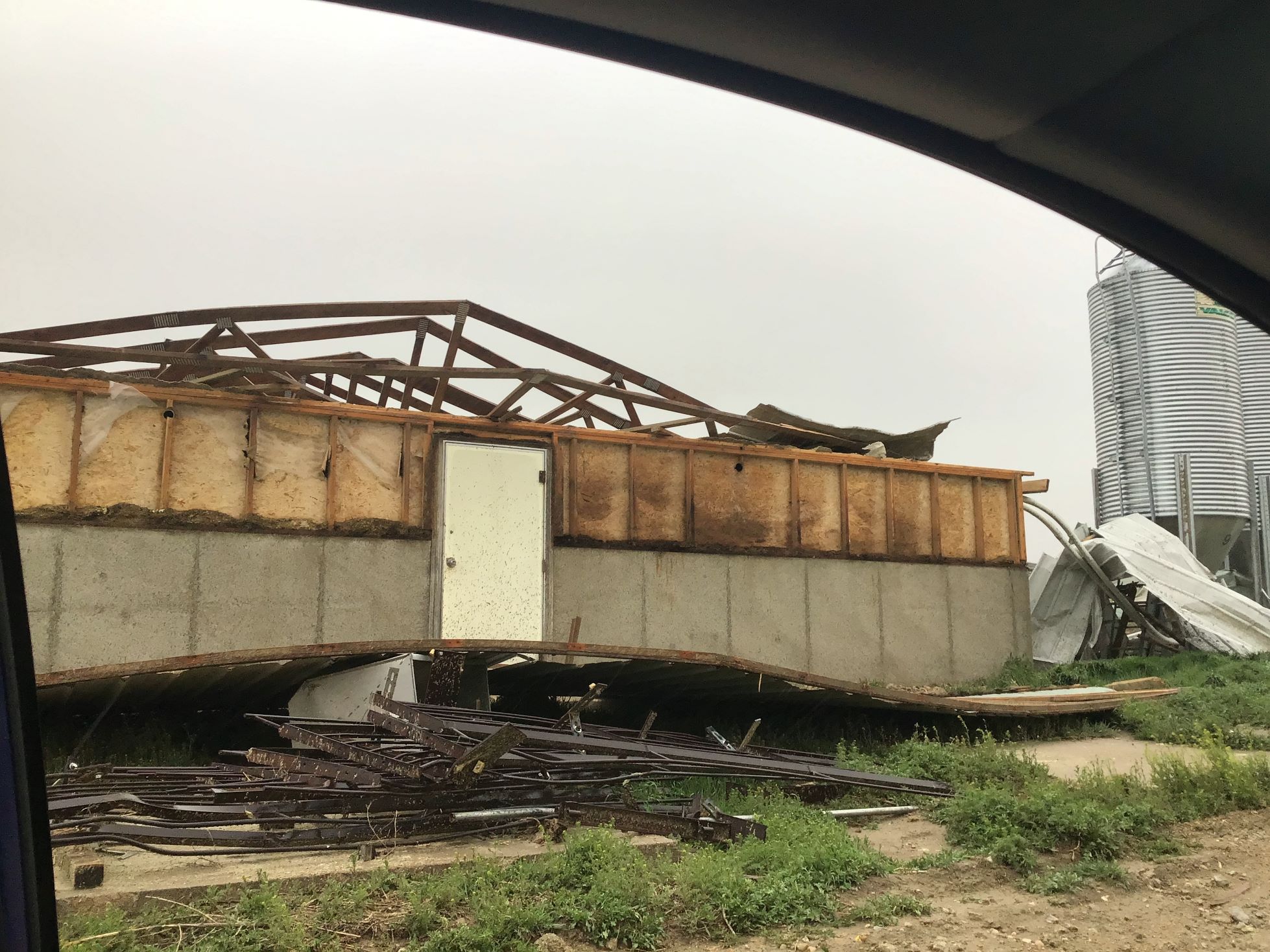
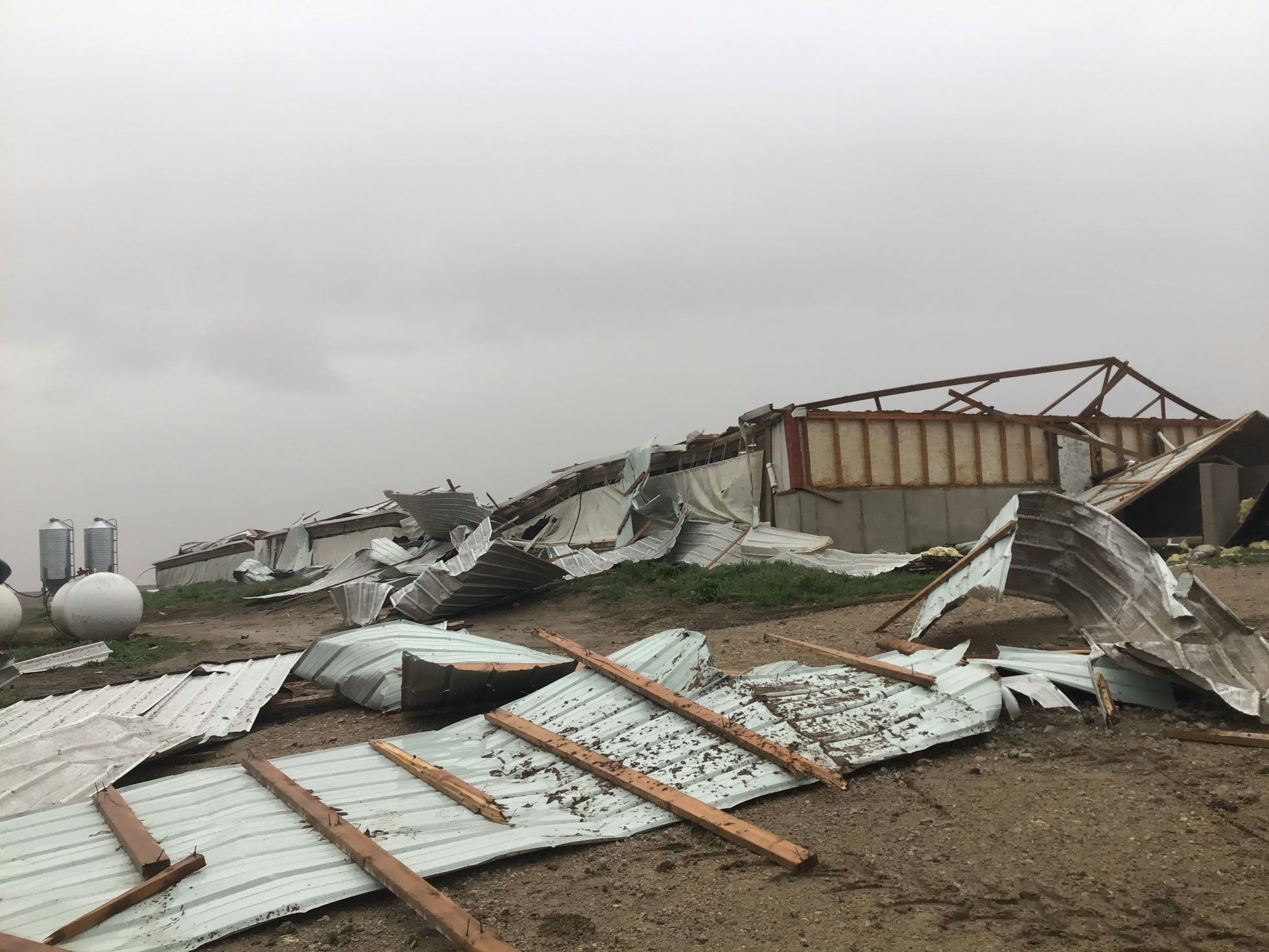
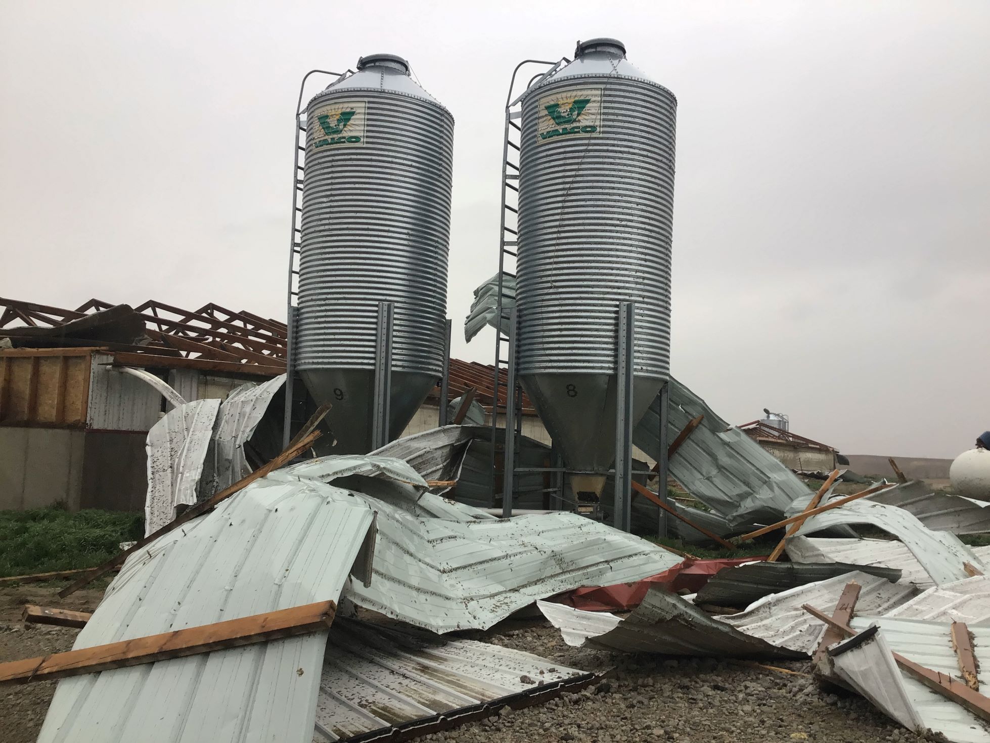
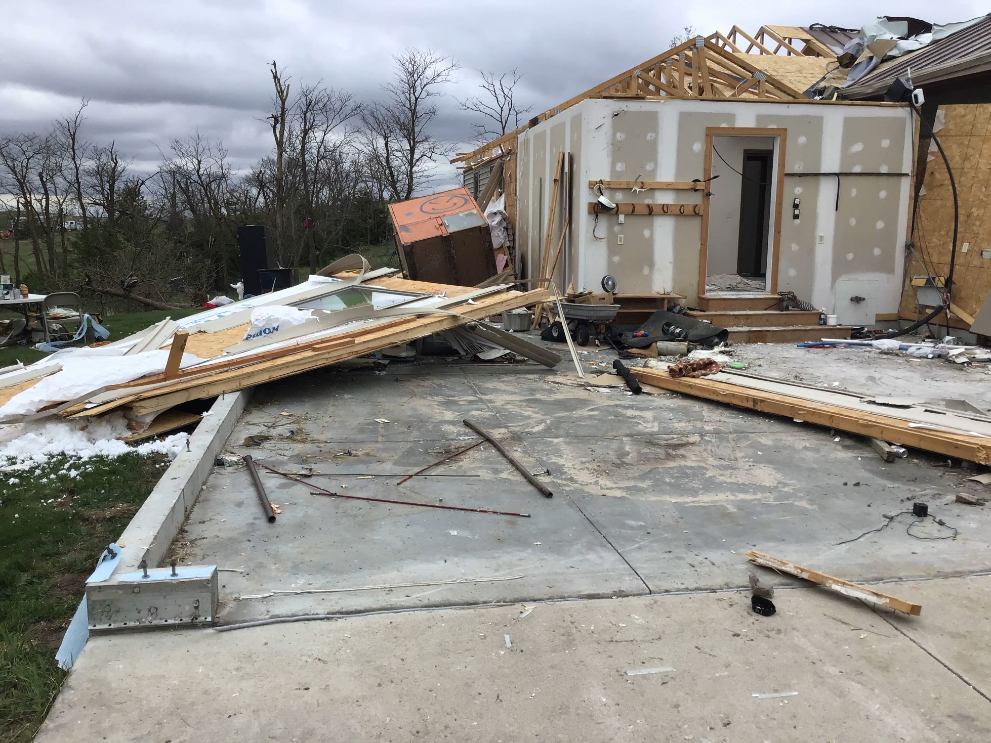
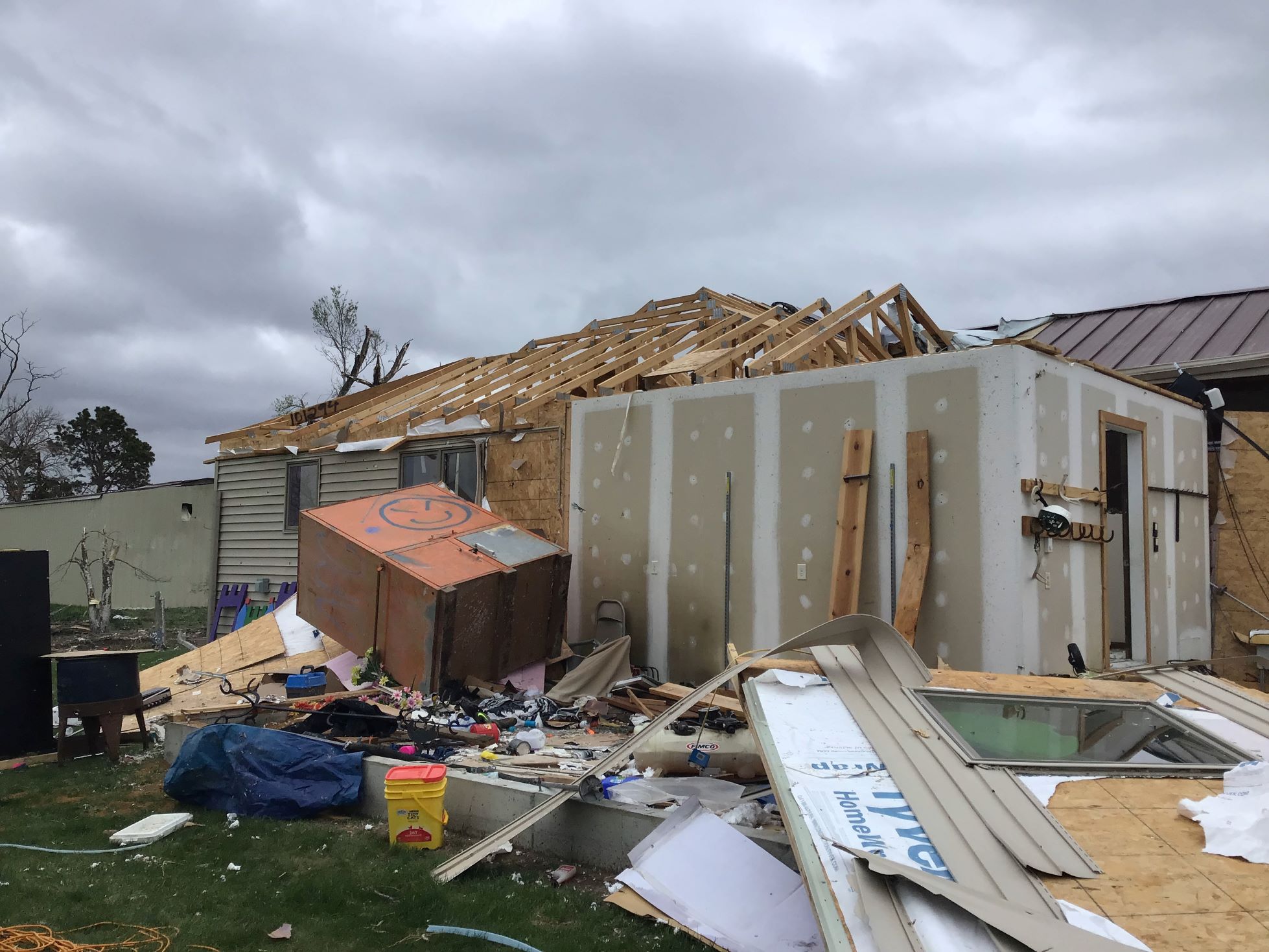
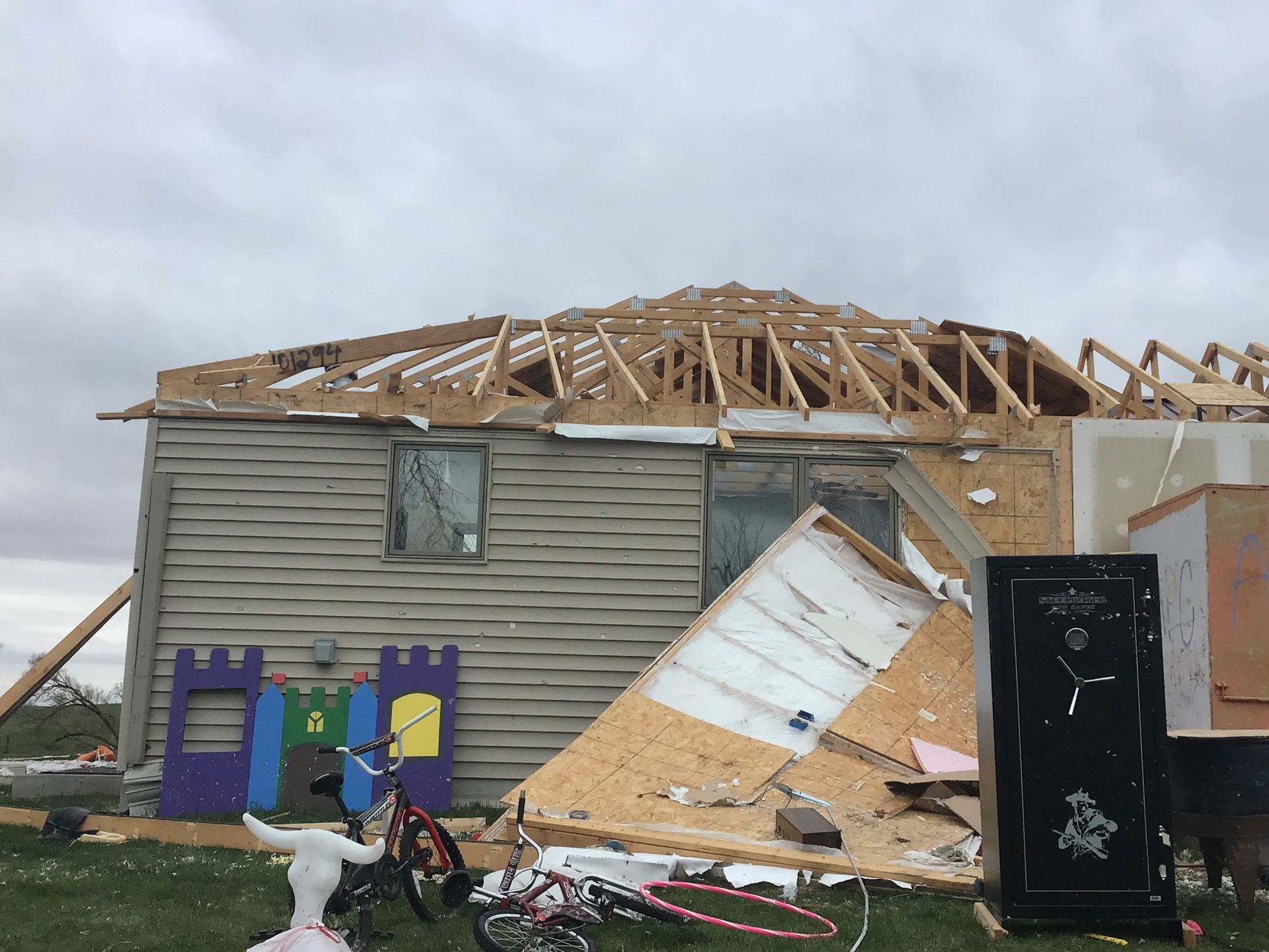
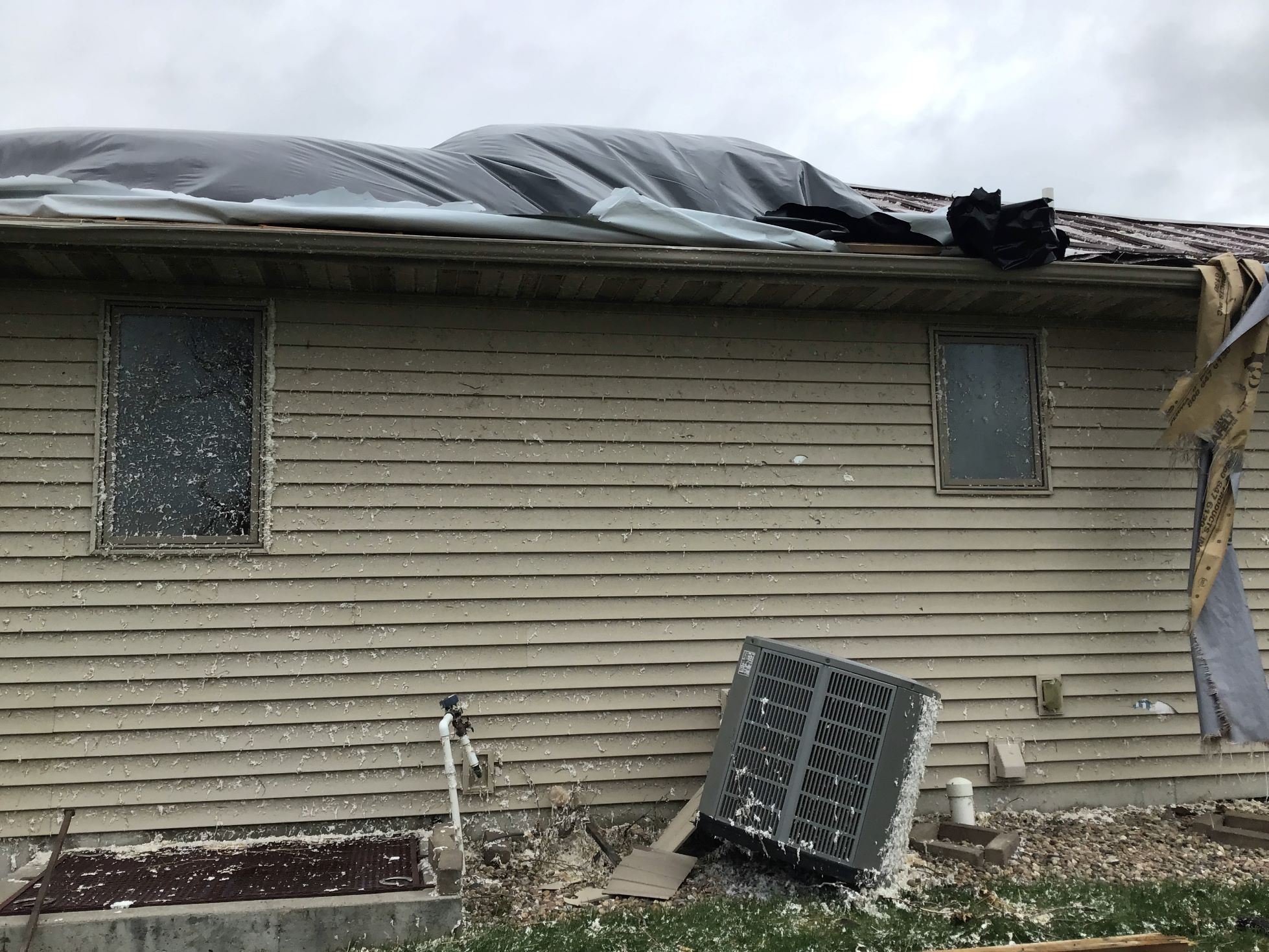
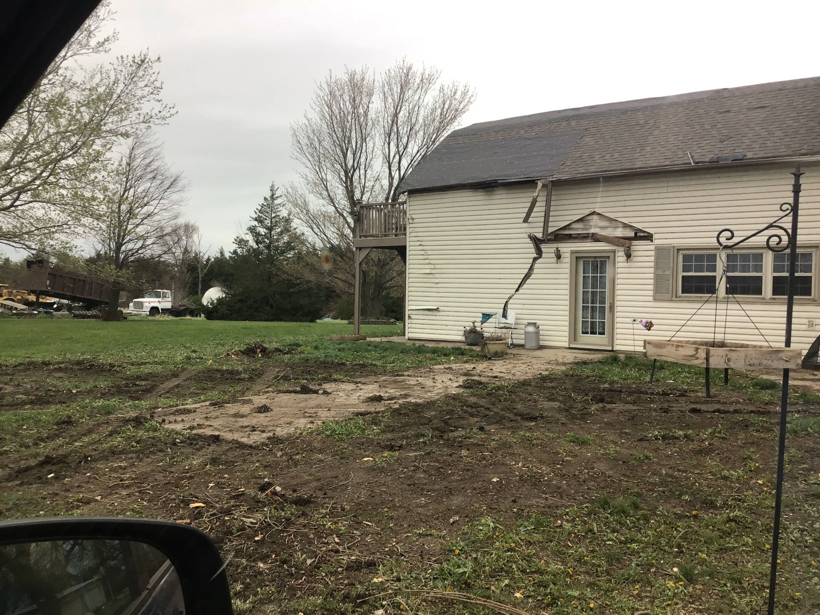
On April 26, 2024, a tornado outbreak occurred from central Nebraska into central Iowa, with a total of 6 tornadoes occurring across the Hastings National Weather Service coverage area. Please select the tabs below to see information on each of these 5 tornadoes: Ravenna EF1, Rockville EF1, Elba EF3, Wolbach EF2, and Wolbach/Primrose EF2.
|
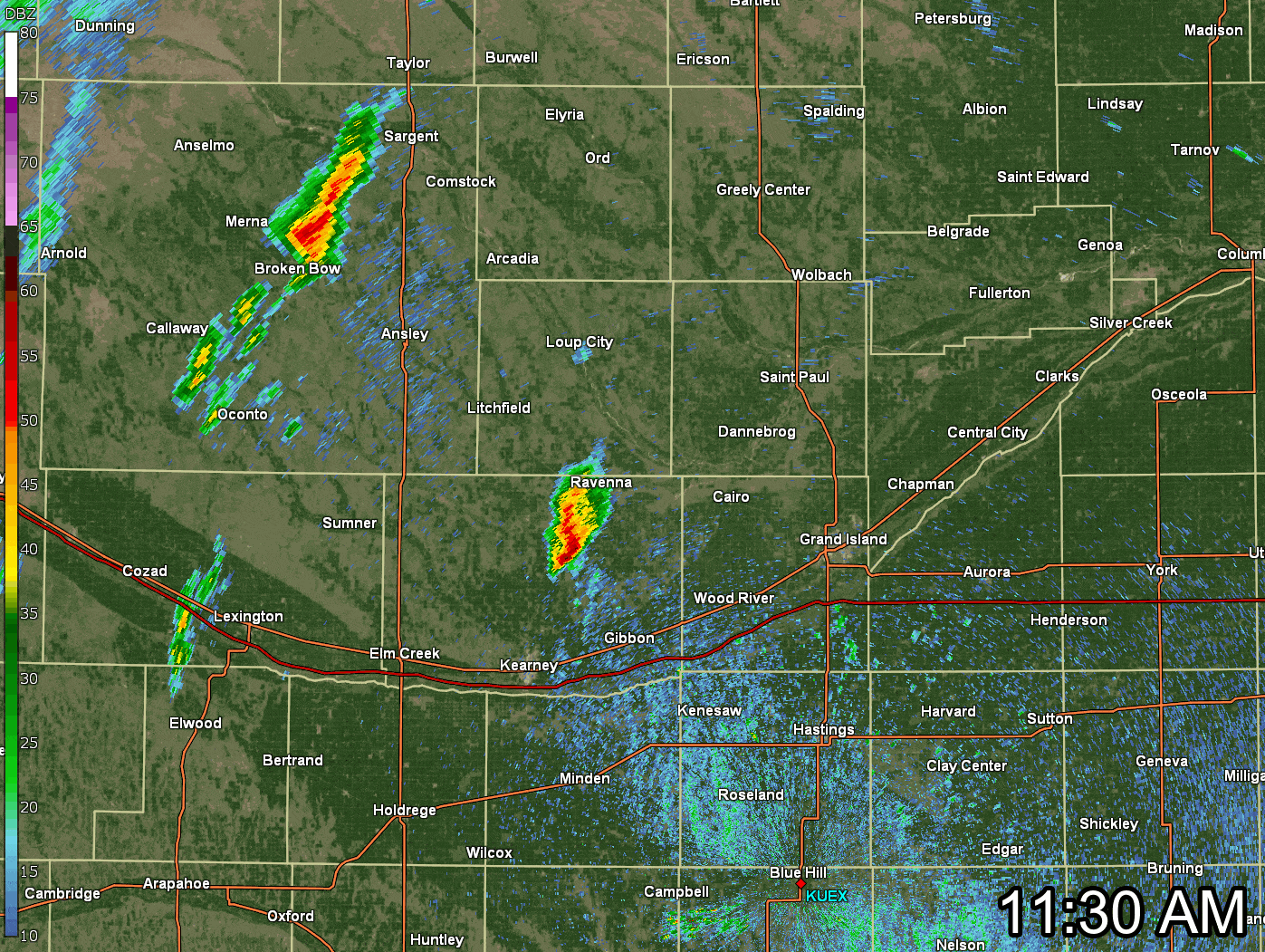 This is a loop of the NWS Hastings radar located near Blue Hill (KUEX), from 11:30 AM - 3:06 PM CDT on Friday, April 26th. The Yellow Boxes show Severe Thunderstorm Warnings that were issued, the Red Boxes show Tornado Warnings. Click the image to enlarge. |
The Enhanced Fujita (EF) Scale classifies tornadoes into the following categories:
| EF0 Weak 65-85 mph |
EF1 Moderate 86-110 mph |
EF2 Significant 111-135 mph |
EF3 Severe 136-165 mph |
EF4 Extreme 166-200 mph |
EF5 Catastrophic 200+ mph |
 |
|||||
|
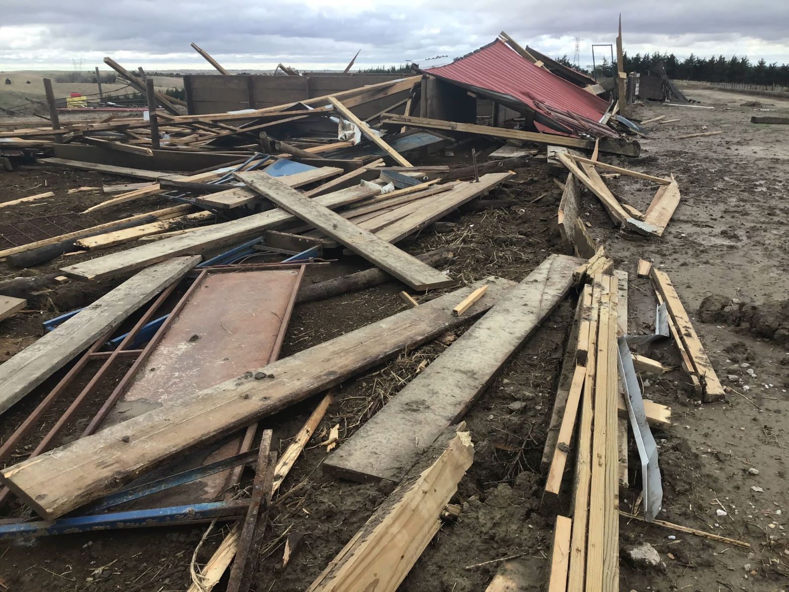
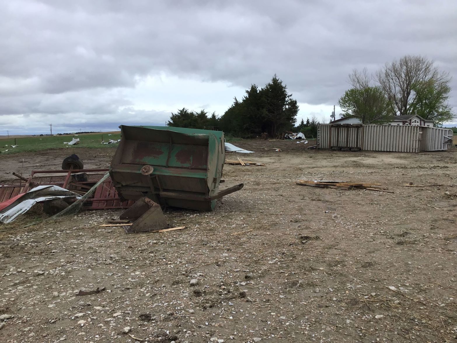
Tornado #1 - Ravenna
Track Map 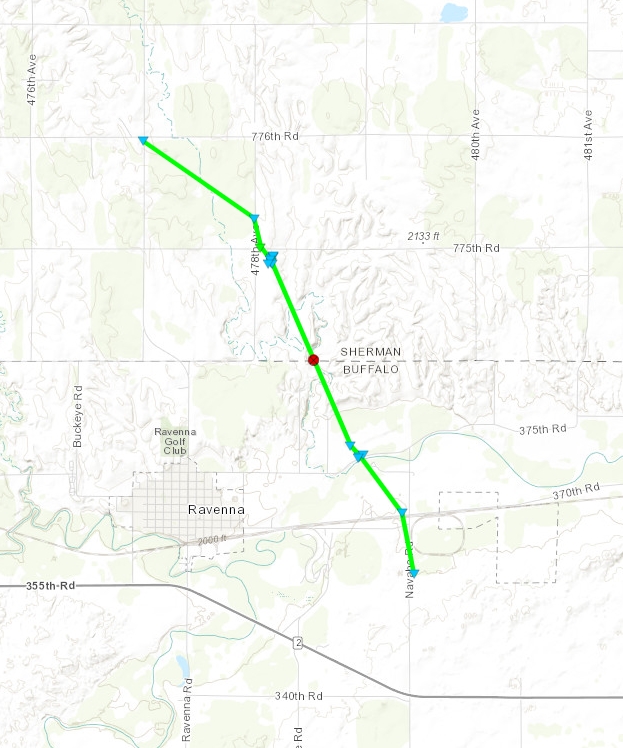 
|
||||||||||||||||
 |
 |
 |
 |
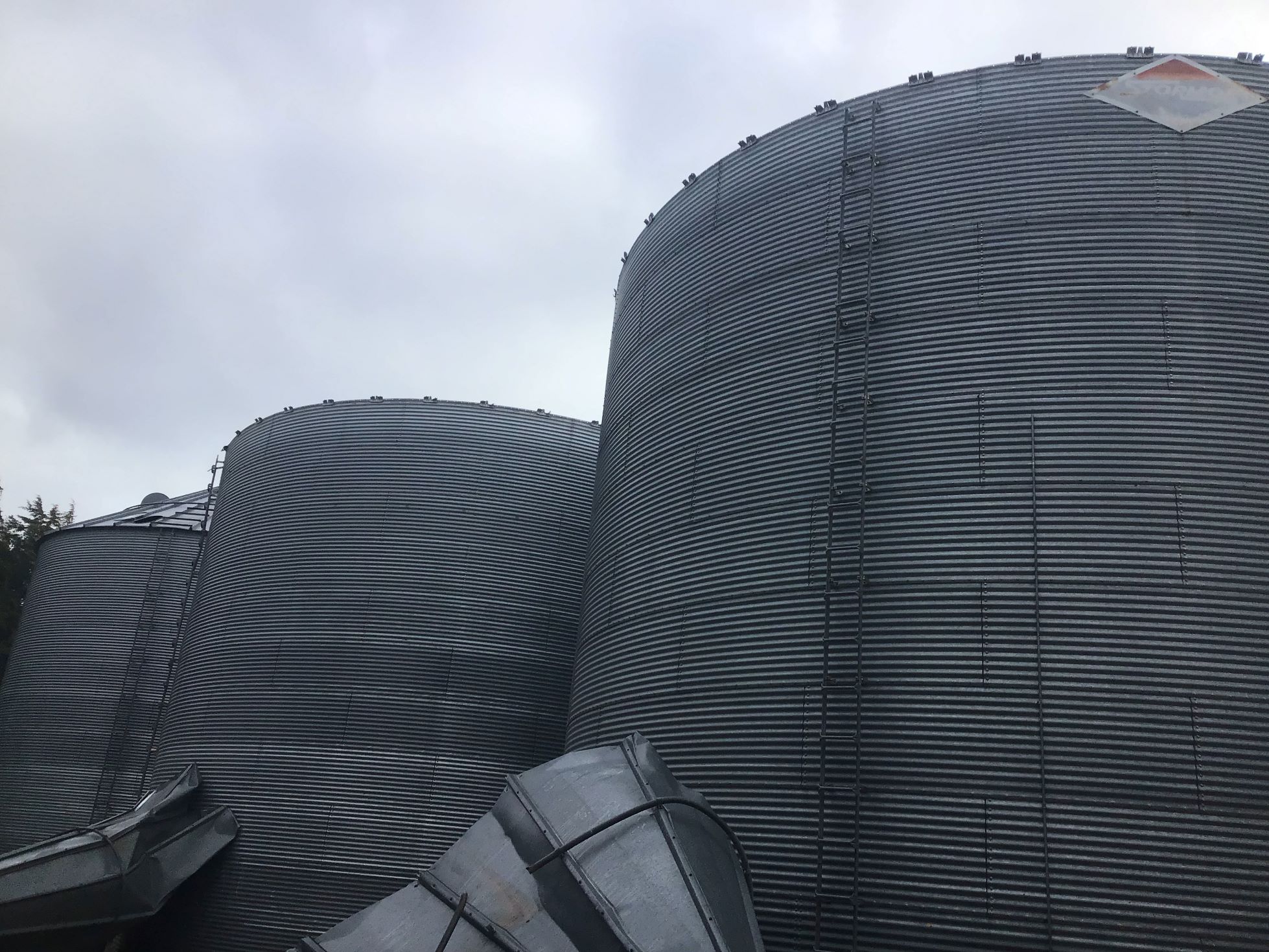
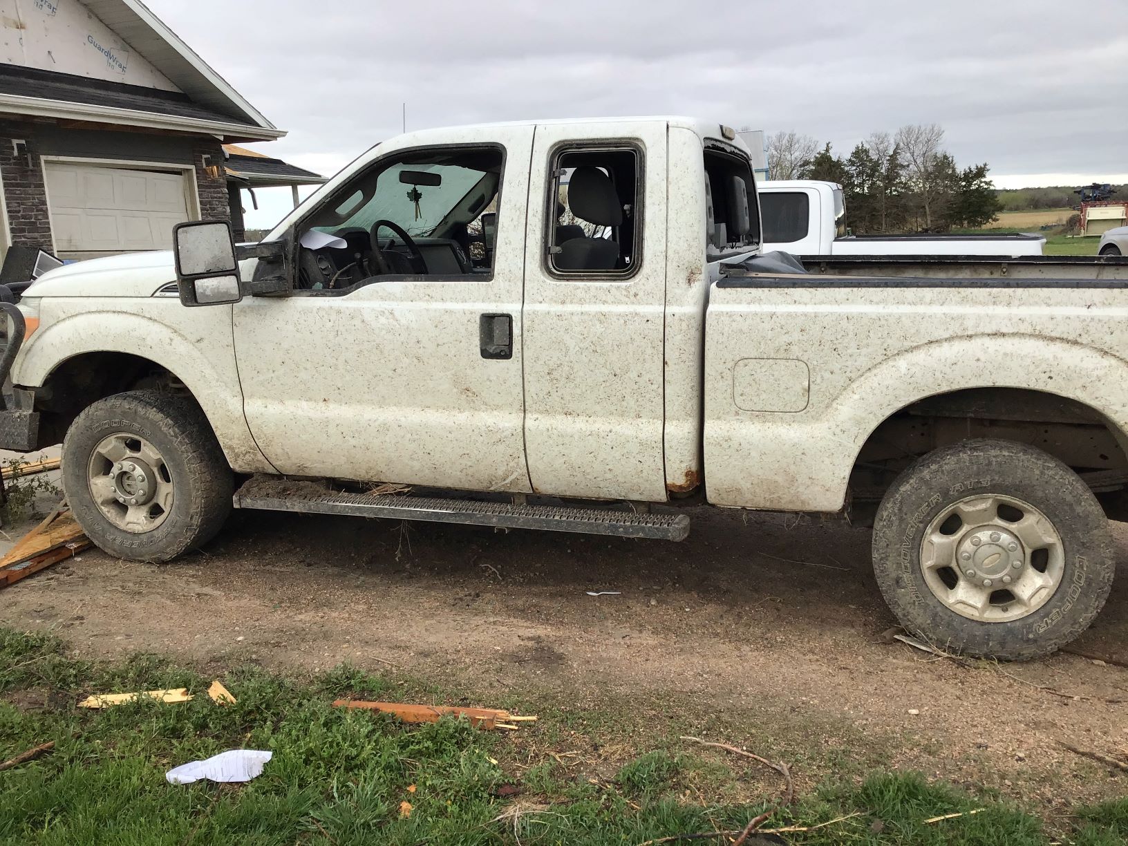
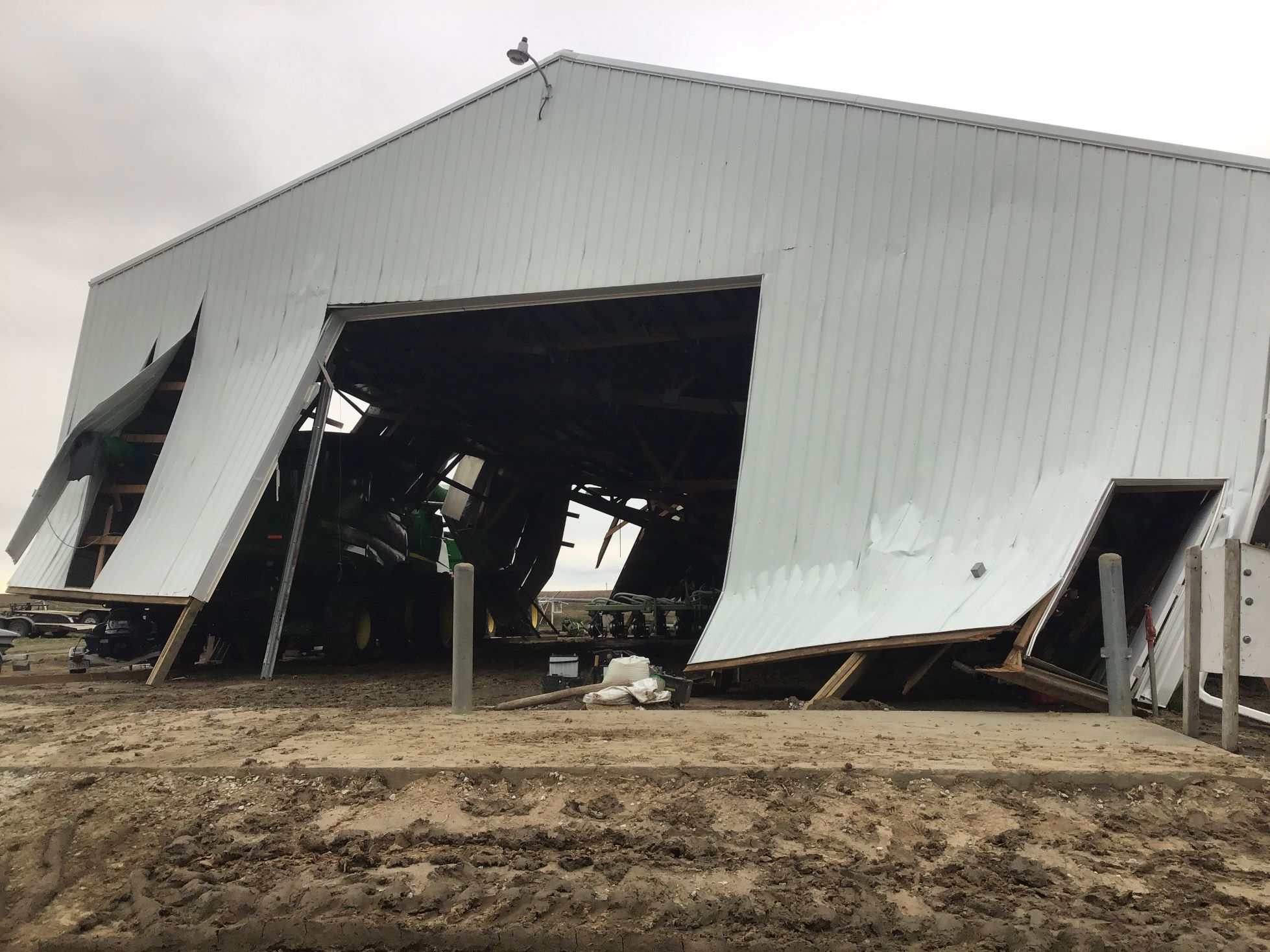
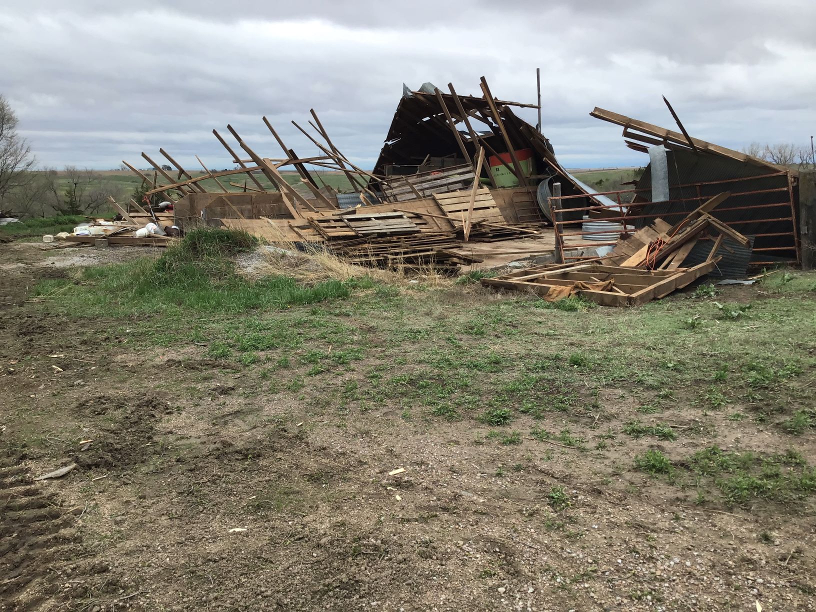
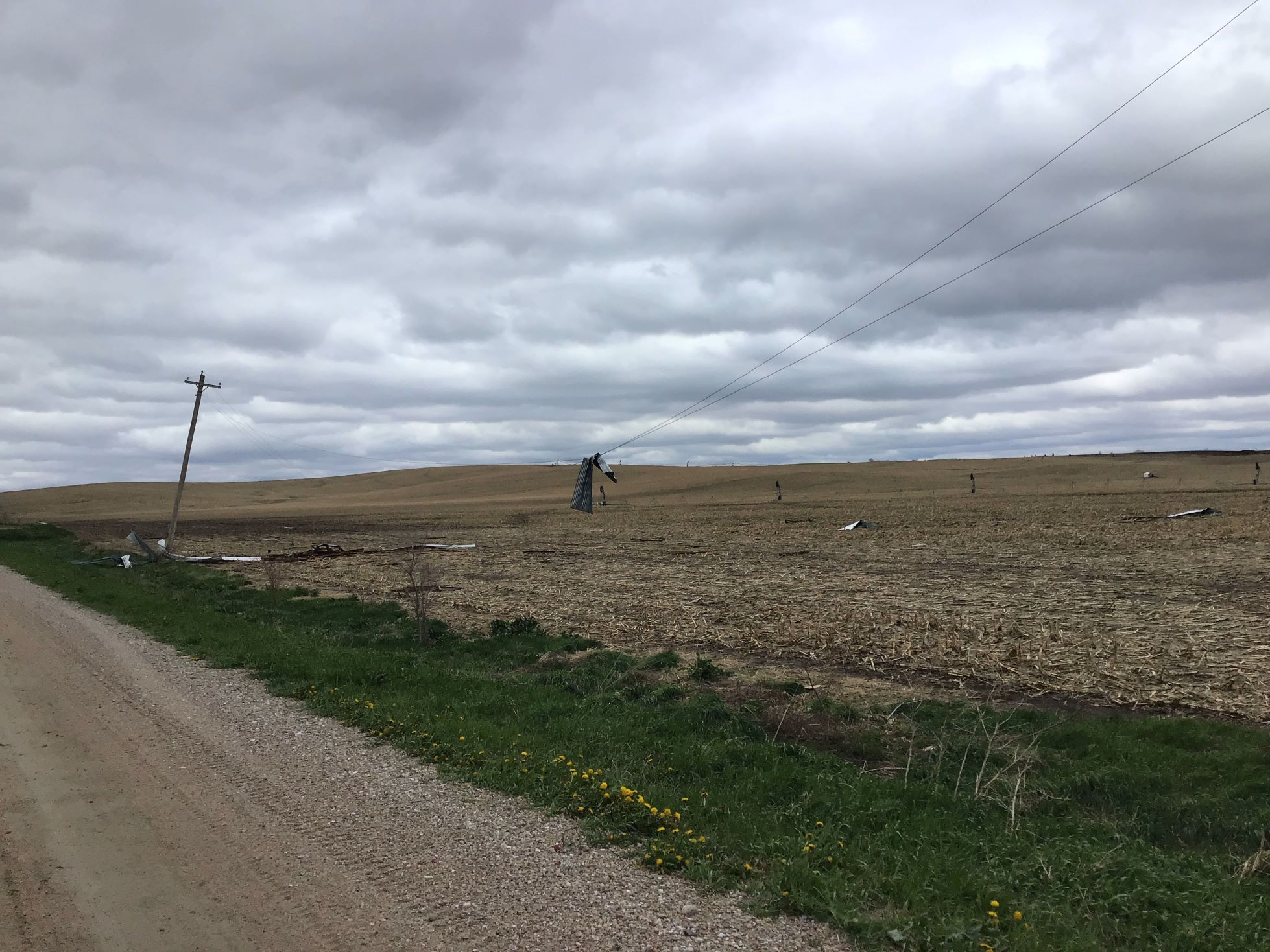
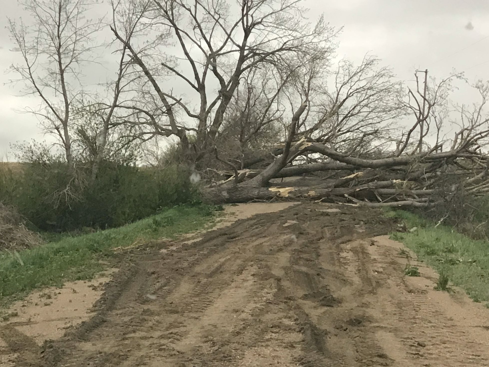
| Tornado Damage | Tornado Damage | Tornado Damage | Tornado Damage |
 |
 |
 |
 |
| Tornado Damage | Tornado Damage | Tornado Damage | Tornado Damage |
|
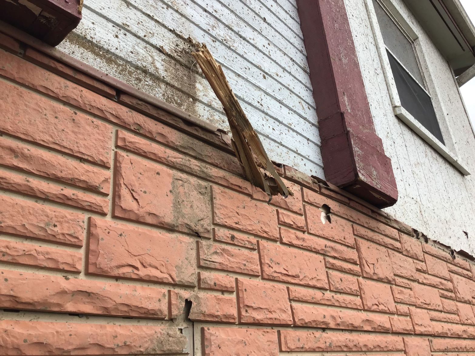
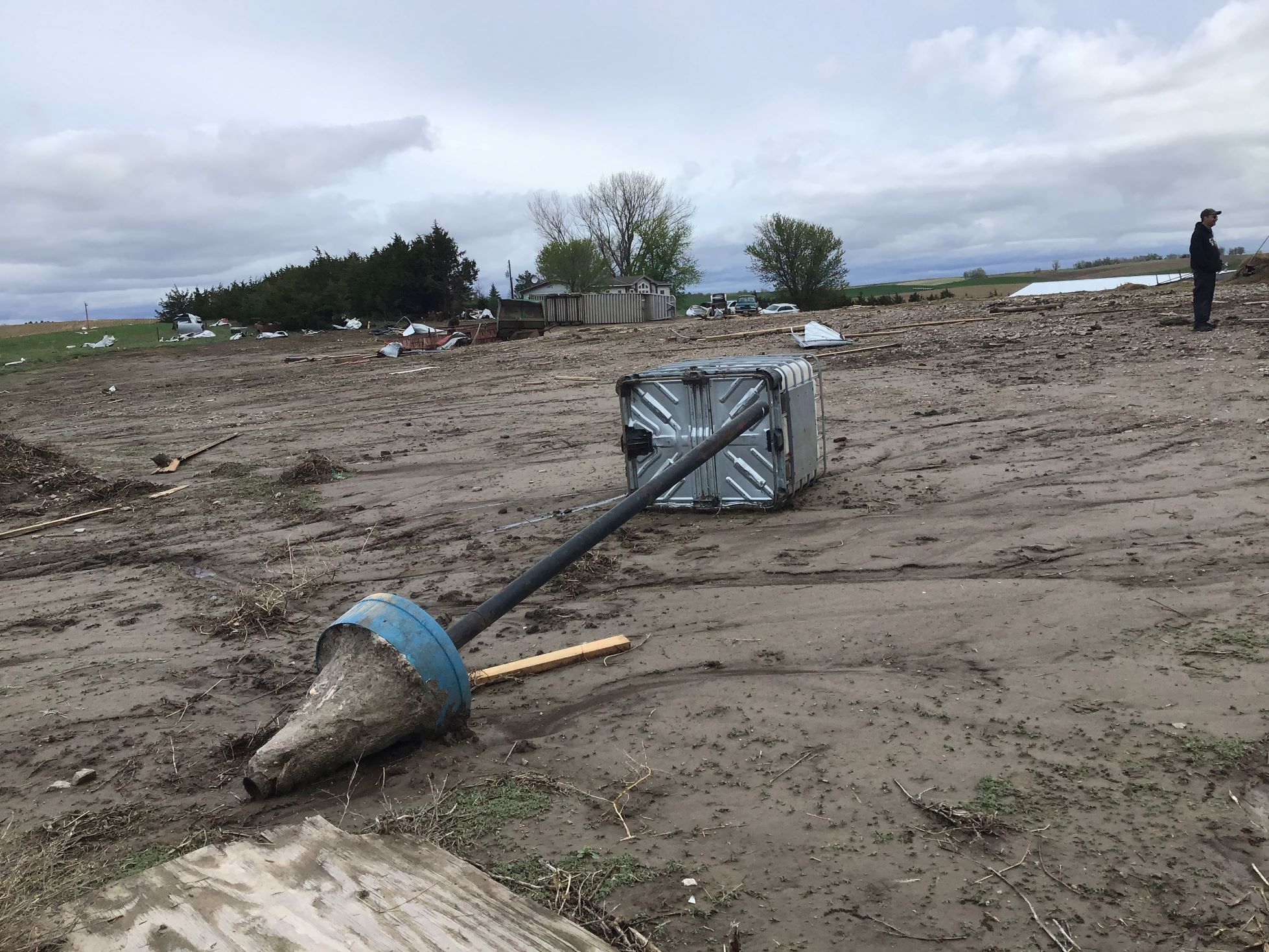
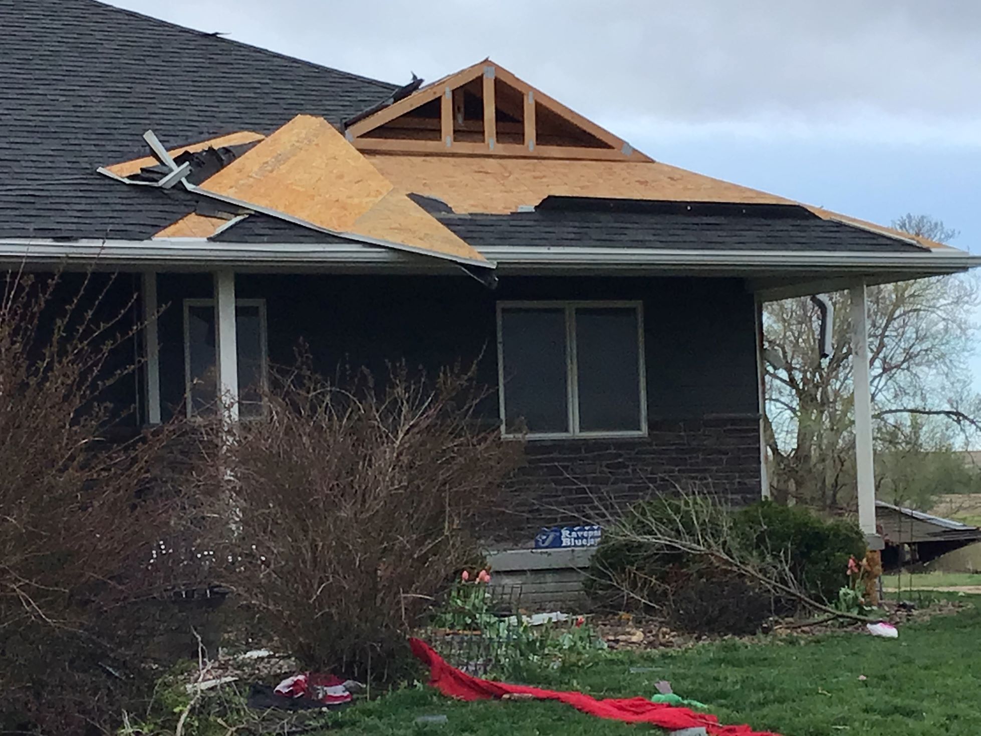
Tornado #2 - Rockville
Track Map 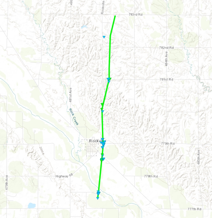
|
||||||||||||||||
 |
 |
 |
 |
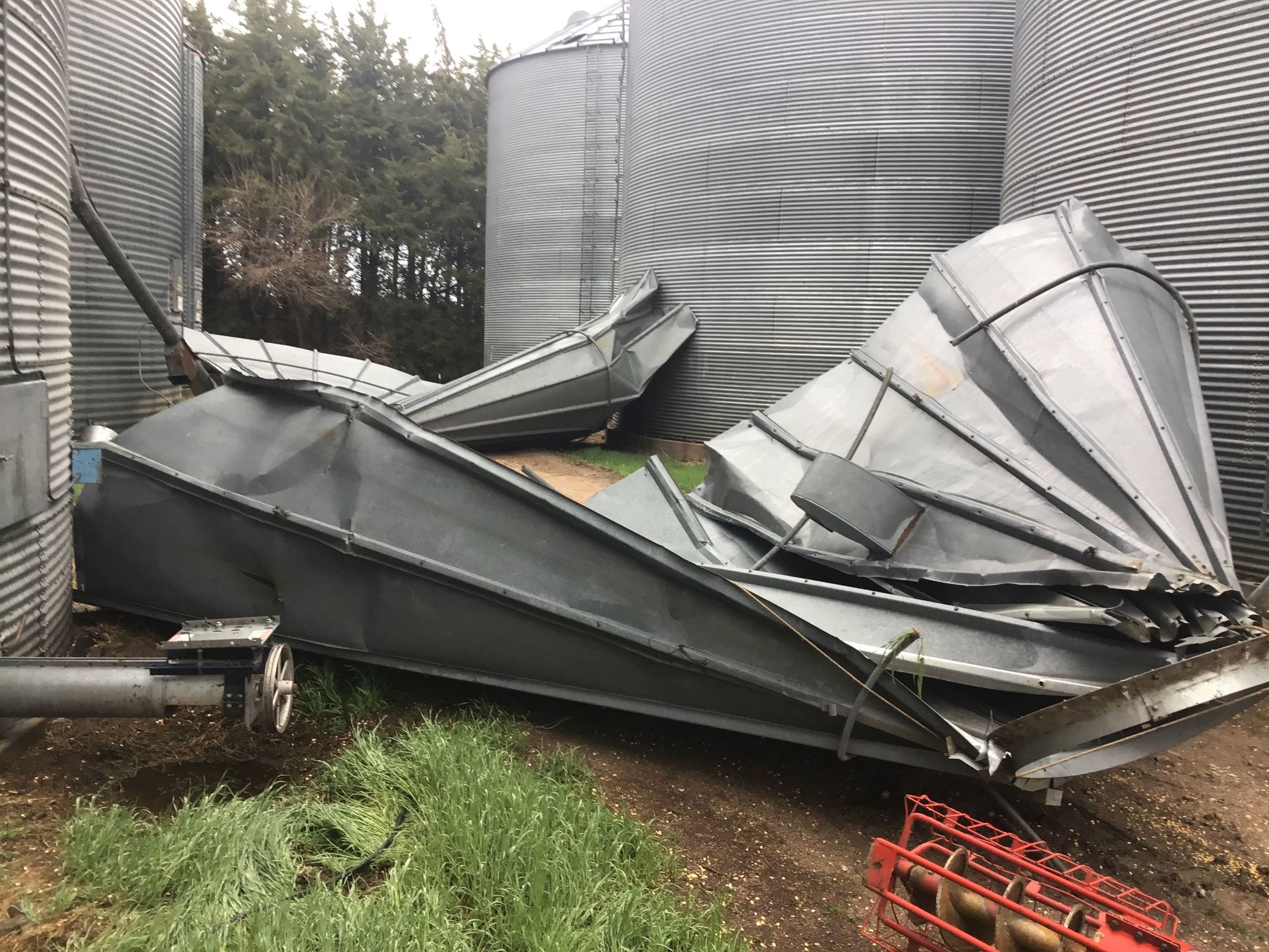
| Tornado Damage | Tornado Damage | Tornado Damage | Tornado Damage |
 |
 |
 |
 |
| Tornado Damage | Tornado Damage | Tornado Damage | Tornado Damage |
 |
 |
 |
|
| Tornado Damage | Tornado Damage | Tornado Damage | Caption |
|
Tornado #3 - Farwell/Elba
Track Map 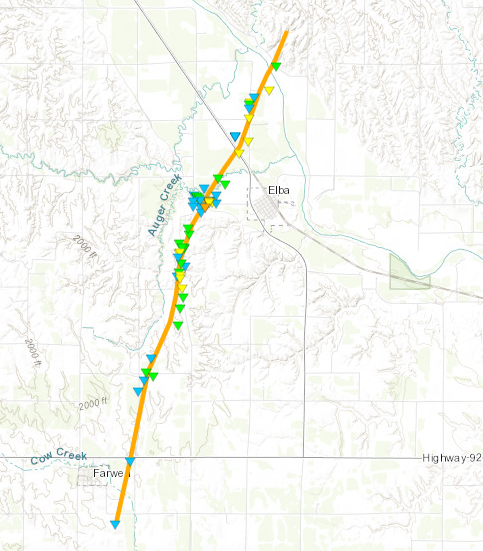
|
||||||||||||||||
 |
 |
 |
 |
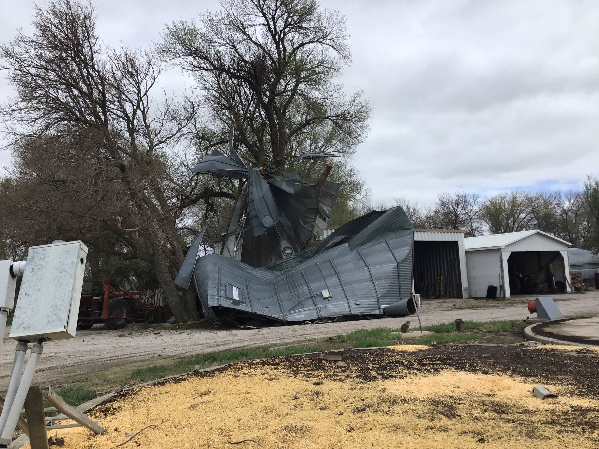
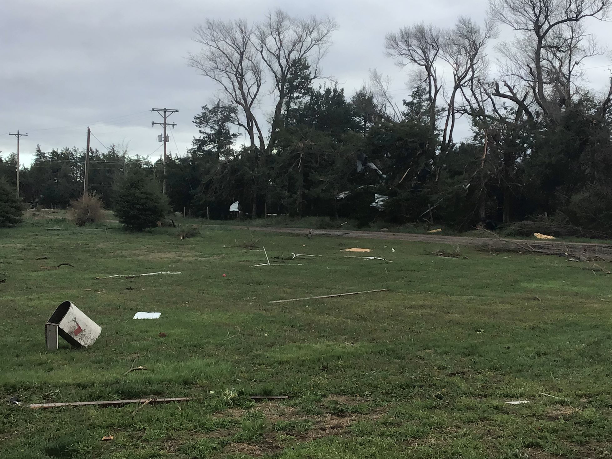
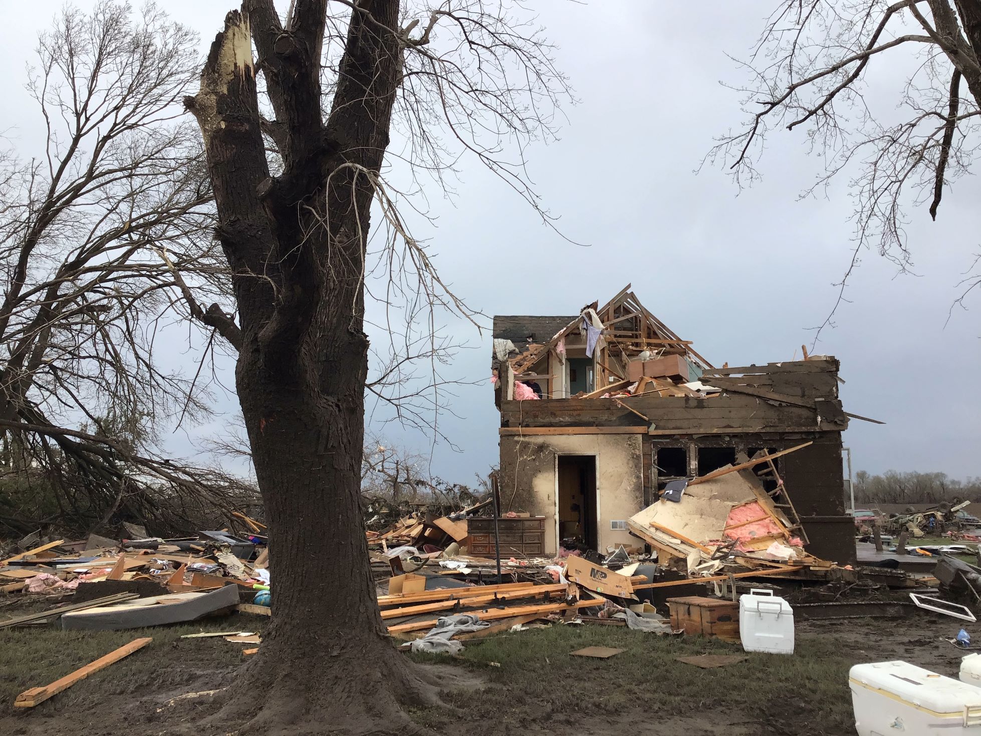
| Tornado Damage | Tornado Damage | Tornado Damage | Tornado Damage |
 |
 |
 |
 |
| Tornado Damage | Tornado Damage | Tornado Damage | Tornado Damage |
 |
 |
 |
 |
| Tornado Damage | Tornado Damage | Tornado Damage | Tornado Damage |
|
Tornado #4 - Wolbach
Track Map 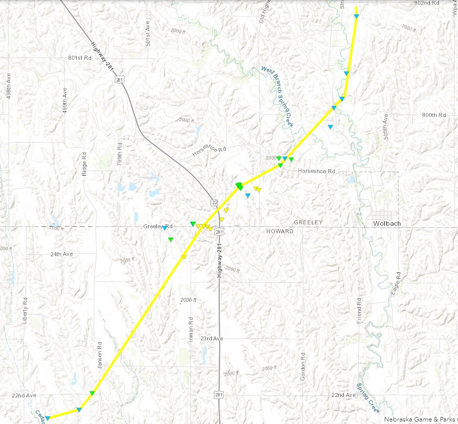
|
||||||||||||||||
 |
 |
 |
 |
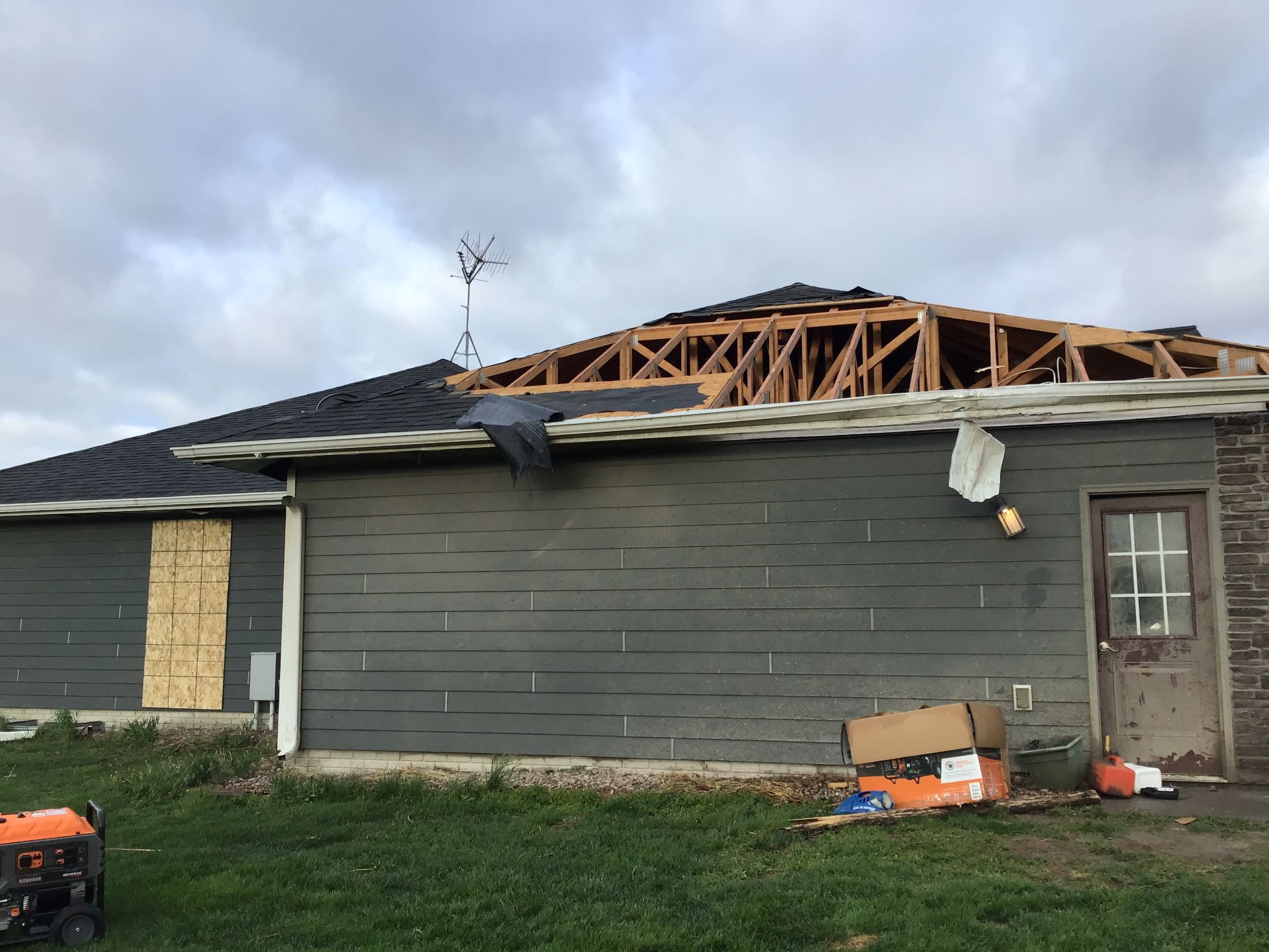
| Tornado Damage | Tornado Damage | Tornado Damage | Tornado Damage |
 |
 |
 |
 |
| Tornado Damage | Tornado Damage | Tornado Damage | Tornado Damage |
 |
 |
 |
|
| Tornado Damage | Tornado Damage | Tornado Damage | Tornado Damage |
|
Tornado #5 - Wolbach/Primrose
Track Map 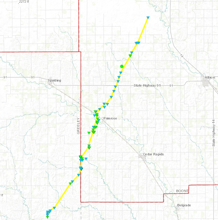
|
||||||||||||||||
 |
 |
 |
 |
| Tornado Damage | Tornado Damage | Tornado Damage | Tornado Damage |
 |
 |
 |
 |
| Tornado Damage | Tornado Damage | Tornado Damage | Tornado Damage |
 |
 |
 |
 |
| Tornado Damage | Tornado Damage | Tornado Damage | Tornado Damage |
 |
Media use of NWS Web News Stories is encouraged! Please acknowledge the NWS as the source of any news information accessed from this site. |
|

