Scattered thunderstorms with severe gusts, hail and a tornado risk are possible near a cold front from the Ohio Valley to the Mid-Atlantic tonight. Tropical Storm Bertha is expected to bring tropical storm conditions to portions of the Gulf Coast from the panhandle of Florida into Louisiana through Wednesday. Read More >
|
|
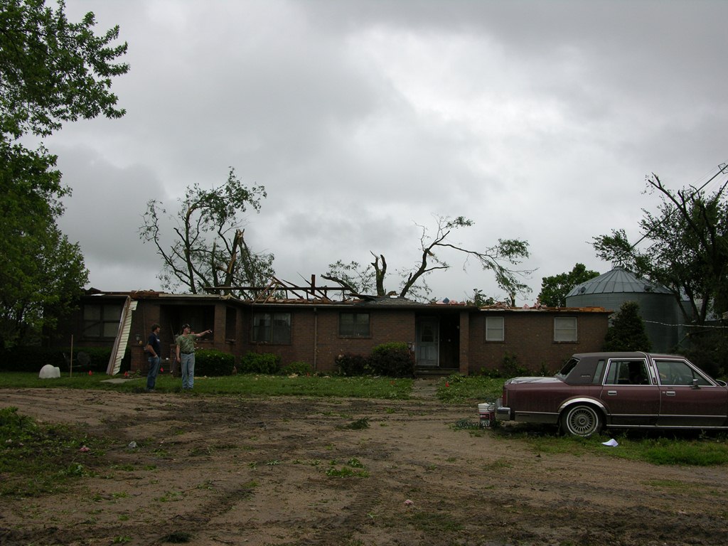
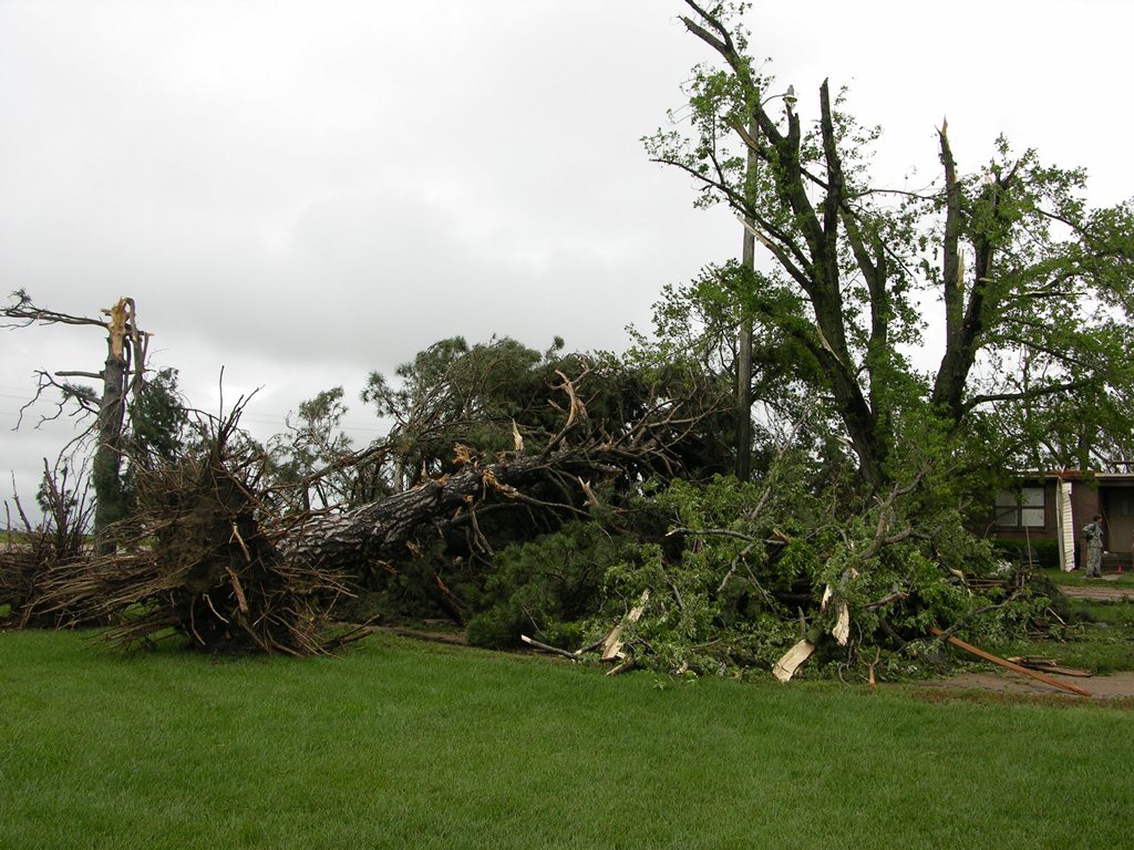
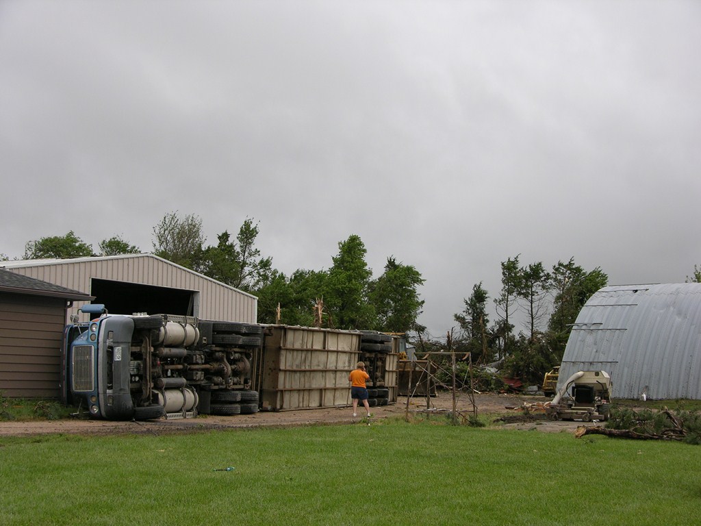
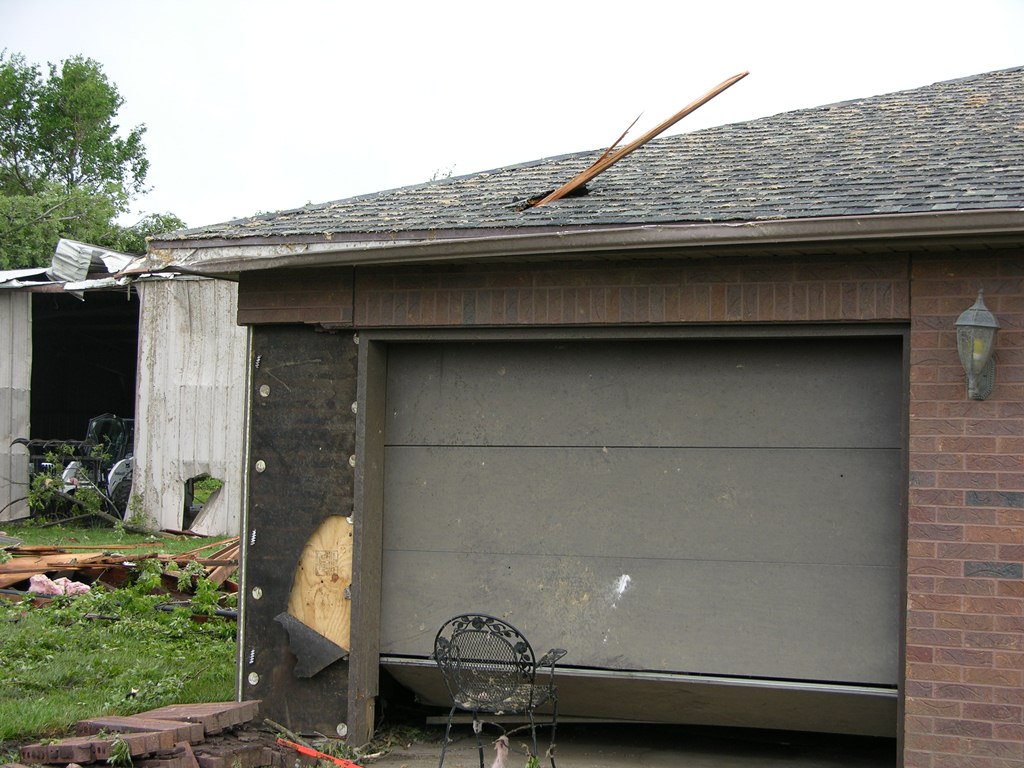
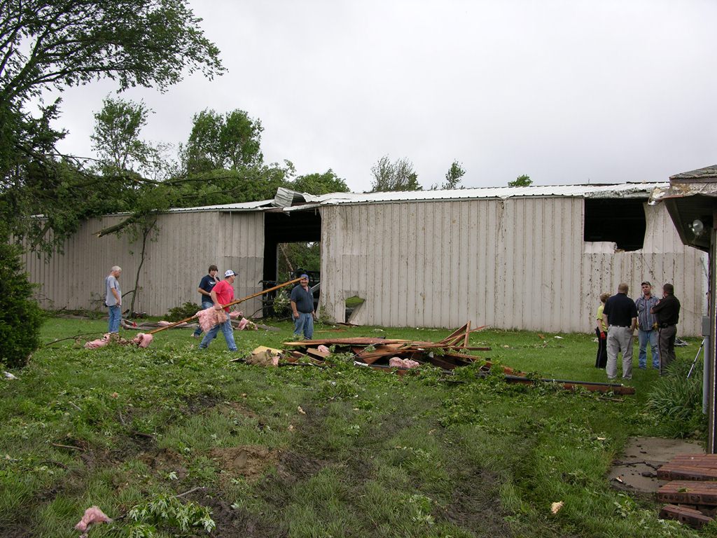
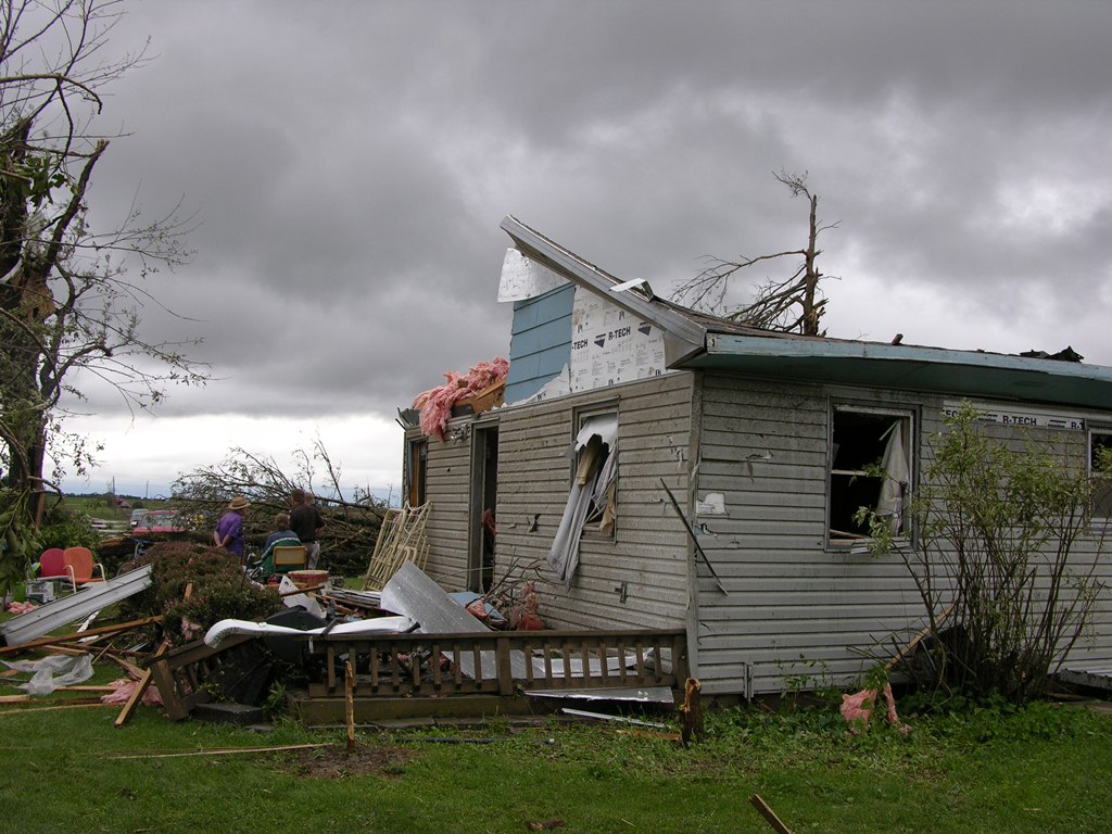
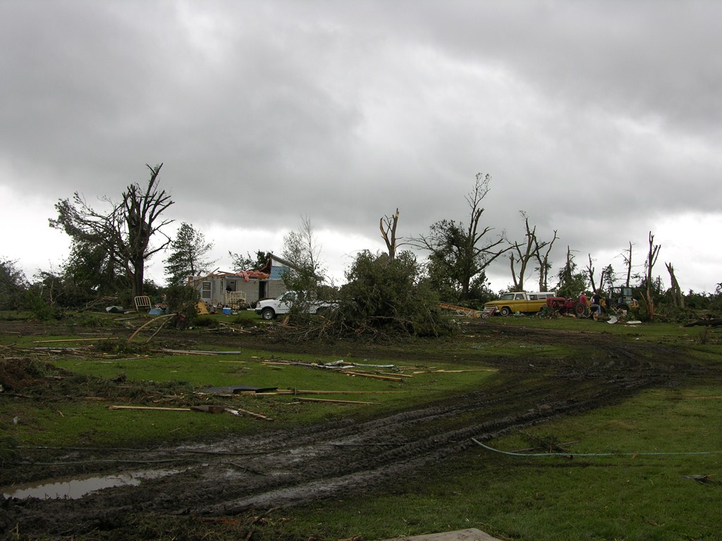
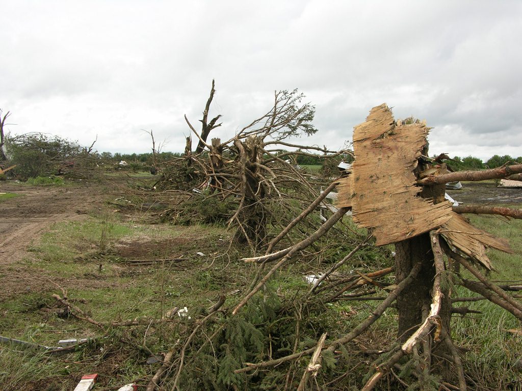
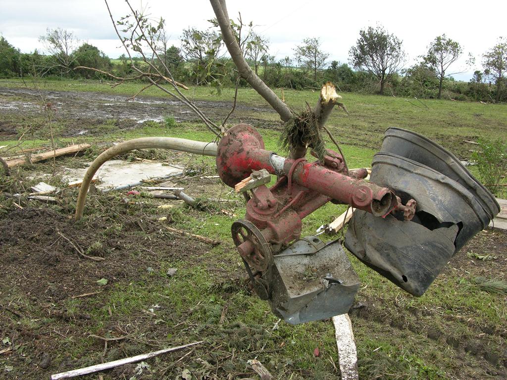
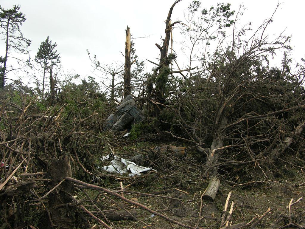
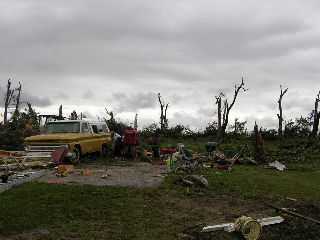
This power second EF3 tornado of the day touched down approximately 4 miles east of Polk at 6:02 p.m. CDT and continued north for nearly 9.5 miles before lifting approximately 6 miles west-northwest of Osceola at 6:20 p.m. CDT. Damage was noted right at the start of the path, with a brick home on Highway 66 west of Polk suffering significant roof, window and tree damage, and a semi-truck and trailer were knocked over onto its side. About 2 miles north of Highway 66, a residence suffered minor tree damage and lost an outbuilding, and a combine was tossed about 100 yards into a field. As the tornado continued north, numerous power poles were snapped, irrigation pivots were overturned, and crops were stripped from the ground. The most significant damage occurred when a farmstead on Highway 92 approximately 6 miles west of Osceola took a direct hit. The home as well as surrounding outbuildings and trees were either destroyed or suffered significant damage. A car, tractor, and an ATV were thrown from their original locations into the field just north of the home. The tornado finally lifted approximately 2 miles north of the intersection of Highways 92 and 39, but not before striking another farmstead, destroying an outbuilding and garage, and damaging a machine shed and barn. The maximum wind speed of this tornado was estimated to be 140 miles per hour. |
 |
 |
 |
|
House damage approximately 4 E of Polk. |
Tree damage approximately 4 E of Polk. |
Semi overturned approximately 4 E of Polk. |
 |
 |
 |
|
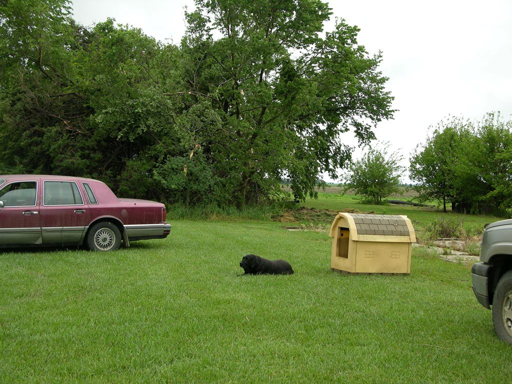
Thankfully the dog was unharmed. |
House damage approximately 4 E of Polk. |
Outbuilding damage approximately 4 E of Polk. |
 |
 |
 |
|
House damage west of Osceola on Highway 92. |
Damage to farmstead west of Osceola on Highway 92. |
Tree damage west of Osceola on Highway 92. |
 |
 |
 |
|
Damage to equipment west of Osceola on Highway 92. |
Tree damage west of Osceola on Highway 92. |
Damage to famstead west of Osceola on Highway 92. |
|
|
This page was composed by the staff at the National Weather Service in Hastings, Nebraska. |  |