Numerous severe thunderstorms are expected across a broad region from the Ohio Valley to the Mid-Atlantic and Northeast States today into tonight. Swaths of damaging wind gusts are expected and some tornadoes are possible. Bertha is expected to bring tropical storm conditions to portions of the Gulf Coast from the Florida Panhandle westward to southeastern Louisiana later today and Wednesday. Read More >
Amherst EF-3 Tornado - June 20, 2011
|
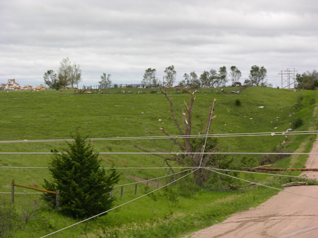
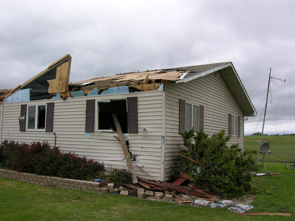
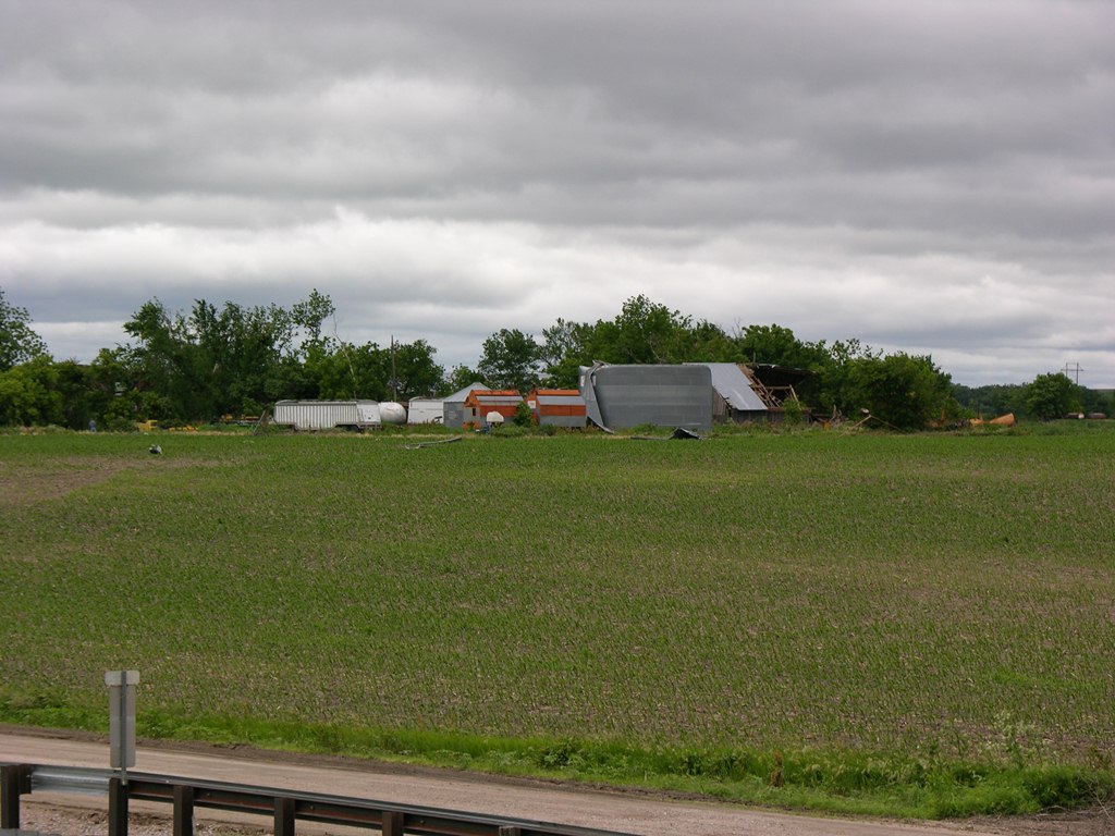
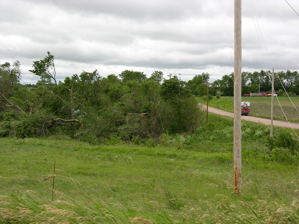
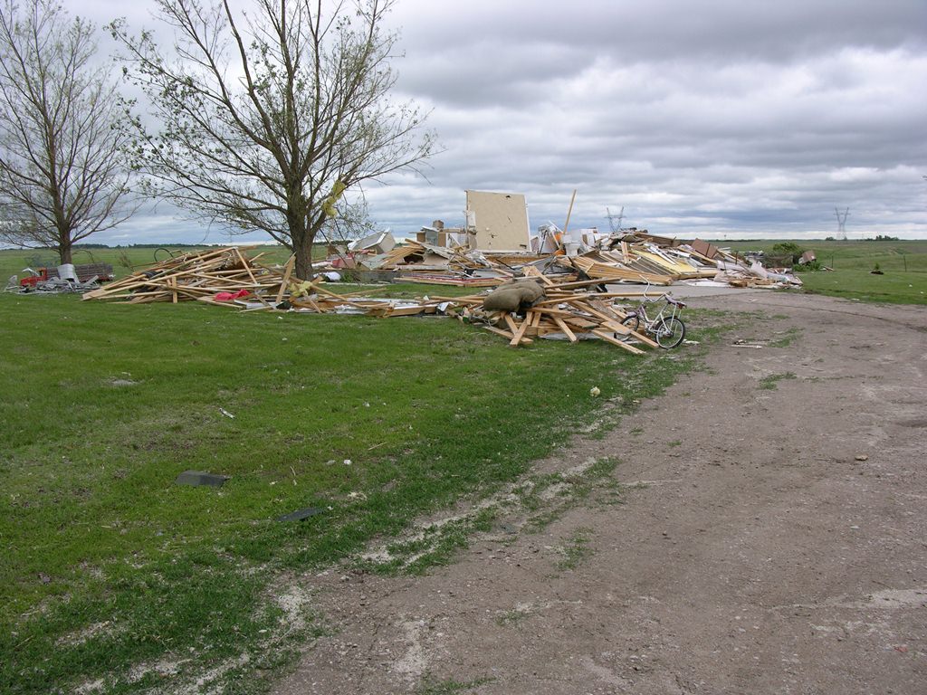
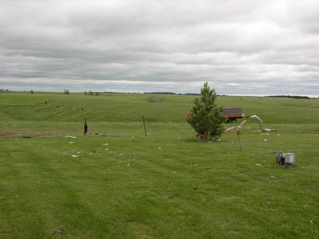
| After producing tornadoes in the Elm Creek area, the supercell thunderstorm continued on a northward path and produced the 'Amherst Tornado', the strongest and one of two EF-2 tornadoes of the day. This tornado touches down approximately 5 miles southwest of Amherst at 4:09 p.m. CDT, curving to the north-northeast and missing town by about 2 miles, before dissipating approximately 4 miles north of Amherst. Soon after touchdown,damage was done to a metal building, and large sections of roof were tore off a residence. As the tornado crossed Highway 40, it intensified and produced a damage path at least 3/4 of a mile wide. The tornado knocked down large transmission lines along Highway 40, and overturned irrigation pivots. As it continued to the northeast, the tornado destroyed one home directly in its path, and no walls remained standing. Taking a turn to the north, damage continued as outbuildings were destroyed and large metal truss towers were knocked down. Before lifting at 4:37 p.m. CDT, tree trunks were snapped, and an irrigation pivot was knocked over approximately 4 miles north of Amherst. The Buffalo County Emergency Manager later noted that a total of 4 homes were destroyed, 6 to 8 had substantial damage, with 30 others suffering minor damage. Forty irrigation pivots were also either damaged or destroyed. The maximum wind speed of this tornado was estimated to be 160 miles per hour. |
 |
 |
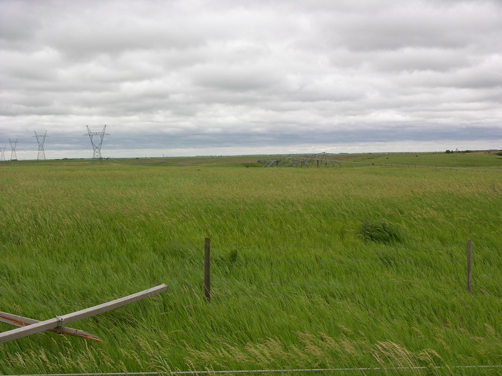 |
| Transmission lines downed near Amherst, Nebraska. Photo by NWS staff. | Close up view of transmission tower down near Amherst, Nebraska. Photo by NWS Staff. | Power poles snapped near Amherst. Photo by NWS staff. |
 |
 |
 |
| Metal building badly damaged near Amherst, Nebraska. Photo by NWS Staff. |
Irrigation Pivots turned over. Photo by NWS Staff. |
House damaged near Amherst. Photo by NWS Staff. |
 |
 |
 |
| Roof taken off of home near Amherst, Nebraska. Photo taken by NWS Staff. | Debris thrown into a field. Photo by NWS Staff. | Trees trunks snapped like toothpicks. Photo by NWS Staff. |
 |
 |
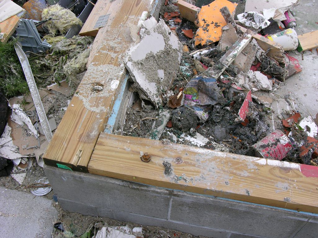 |
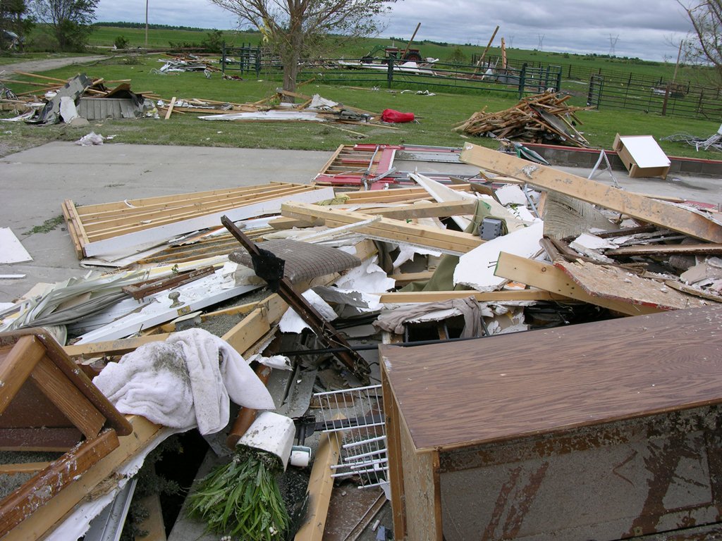
| Residence completely destroyed north of Amherst, Nebraska. Photo by NWS Staff. | Debris scattered across yard and metal trusses down in the field. Notice the vacuum cleaner standing directly upright. Photo by NWS Staff. | Foundation of house destroyed near Amherst, Nebraska. Photo by NWS Staff. |
 |
 |
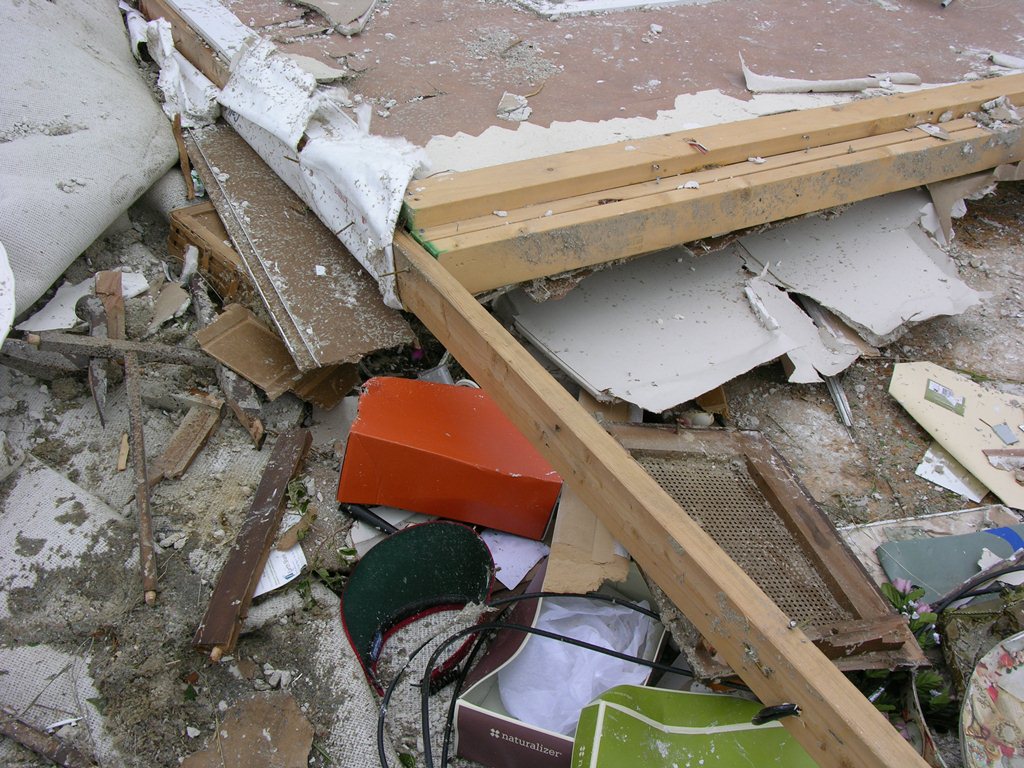 |
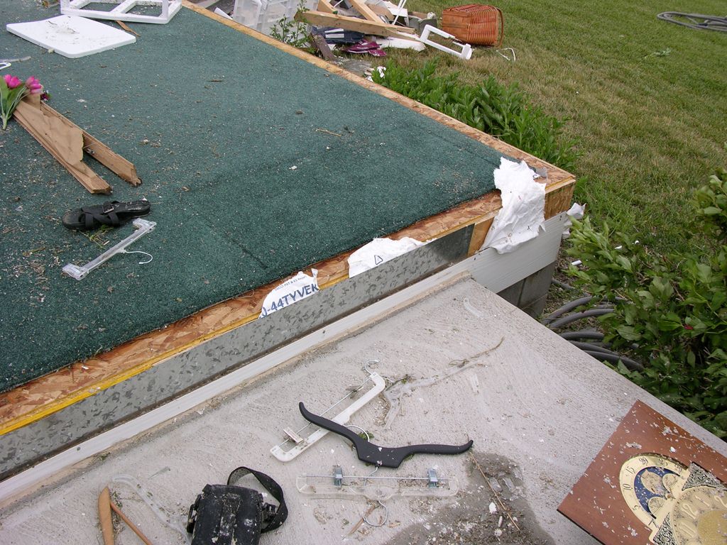
| Debris scattered across yard. Photo by NWS Staff. | House destroyed by Amherst tornado. Photo by NWS Staff. | More debris from house destroyed near Amherst, Nebraska. Photo by NWS Staff. |
|
|
This page was composed by the staff at the National Weather Service in Hastings, Nebraska. |  |