|
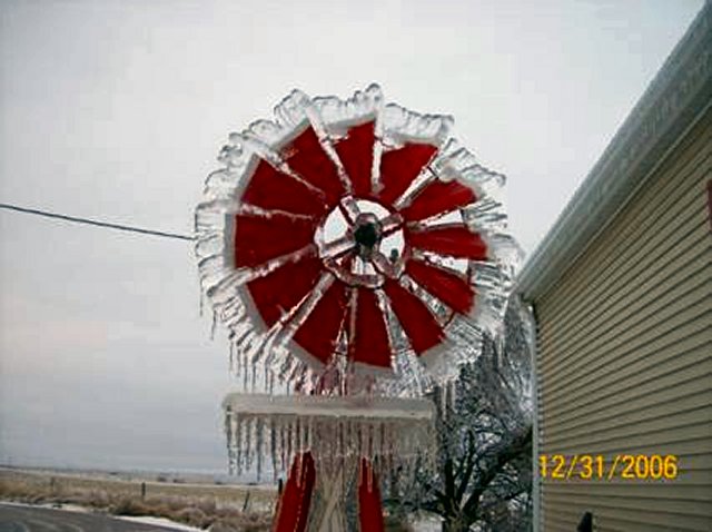
Icy Husker Windmill at Alma
|
||
 |
||
|
Picture taken by Diane Christensen of Alma - December 31, 2006
|
||
|
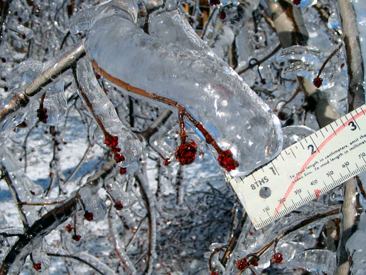
Ice Accrual on Tree near Kearney
|
||
 |
||
|
Picture taken by John Love of northeast Kearney on Monday January 1st, 2007
|
||
|
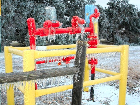
Ice Accrual On Well Housing in rural Hastings |
||
 |
||
|
Picture courtesy of NWS Forecaster Jeremy Wesely |
||
|
Tree Damage in Rural Hastings |
||
 |
||
|
Picture courtesy of NWS Forecaster Jeremy Wesely |
||
|
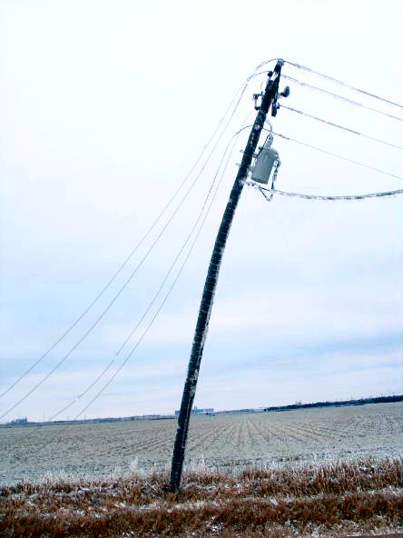
Leaning Power Pole in rural Hastings |
||
 |
||
|
Picture courtesy of NWS Forecaster Jeremy Wesely |
||
|
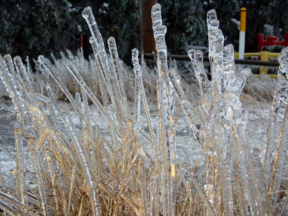
Ice Accrual on Grass in rural Hastings |
||
 |
||
|
Picture courtesy of NWS Forecaster Jeremy Wesely |
||
|
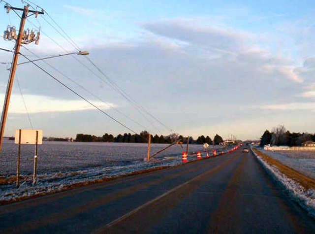
Power Poles down along 12th Street in Hastings |
||
 |
||
|
Picture courtesy of Amber Reynolds, wife of NWS forecaster James Reynolds |
||
|
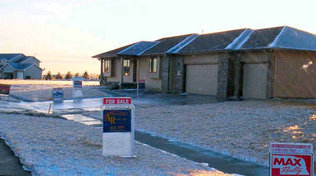
Ice Accrual that slid down local real estate signs near Hastings |
||
 |
||
|
Picture courtesy of Amber Reynolds, wife of NWS forecaster James Reynolds |
||
|
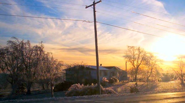
The image below depicts ice laden trees and power lines near Juniata |
||
 |
||
|
Picture courtesy of Amber Reynolds, wife of NWS forecaster James Reynolds |
||
|
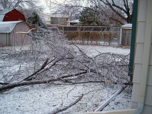
Tree Debris in Hastings |
||
 |
||
|
Picture courtesy of NWS Hastings Data Acquisition Program Manager Marla Doxey |
||
|
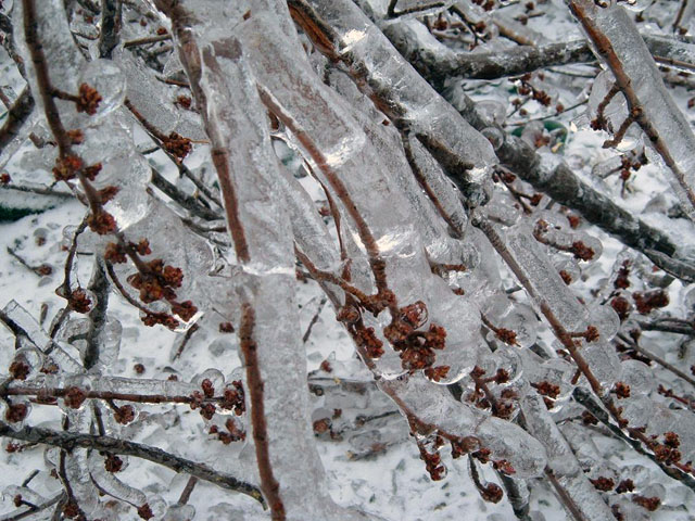
Close up view of Ice Accrual on tree in Hastings |
||
 |
||
|
Picture courtesy of NWS Hastings Data Acquisition Program Manager Marla Doxey |
||
|
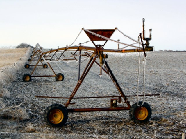
Ice Accrual on Center Pivot in eastern Howard County |
||
 |
||
|
Picture courtesy of Travis Klanecky, UNL Meteorology Student - picture snapped on January 1st, 2007 |
||
|
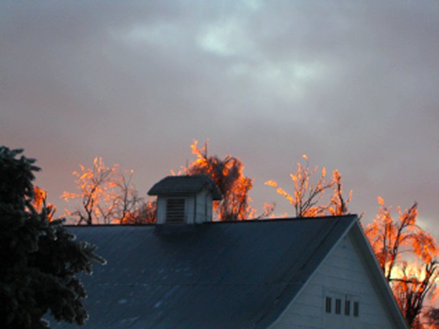
New Year's Eve Sunset in eastern Howard County near the Merrick County border on January 1st, 2007 |
||
 |
||
|
Picture courtesy of Travis Klanecky, UNL Meteorology Student - picture snapped on January 1st, 2007 |
||
Links to Mike Hollingshead's Nebraska Ice Storm and Snow Storm Photos
(external to NWS Hastings site)
 Page composed by Steve Carmel