
Widespread life-threatening flash and urban flooding will continue to pose a significant threat to life and property in south-central Texas. Catastrophic fiver flooding, with rapid rises on small streams, arroyos, and typically dry washes, is expected. Monsoonal showers persist across the Great Basin and Southwest with greatest flash flooding in southern Arizona. Read More >
Overview:
|
Between the afternoon hours of Friday, Jan. 11, 2019, and the morning of Saturday the 12th, a somewhat-stronger-than-first-expected low pressure system passed through the Central Plains, bringing widespread snow totals of 4-8" to primarily the southeastern one-third of the NWS Hastings coverage area (see map and list of totals below). |
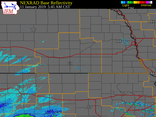 NWS Radar loop from 5:45 AM on Jan. 11th - 2 PM on Jan. 12th. NWS Radar loop from 5:45 AM on Jan. 11th - 2 PM on Jan. 12th.The NWS Hastings coverage area is within the orange outlined area labeled "GID" . Interstates are in red. |
Snow
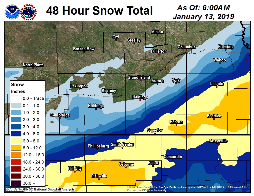 |
| 2-Day Storm Totals (click image to enlarge) |
|
|
Photos
 |
 |
 |
 |
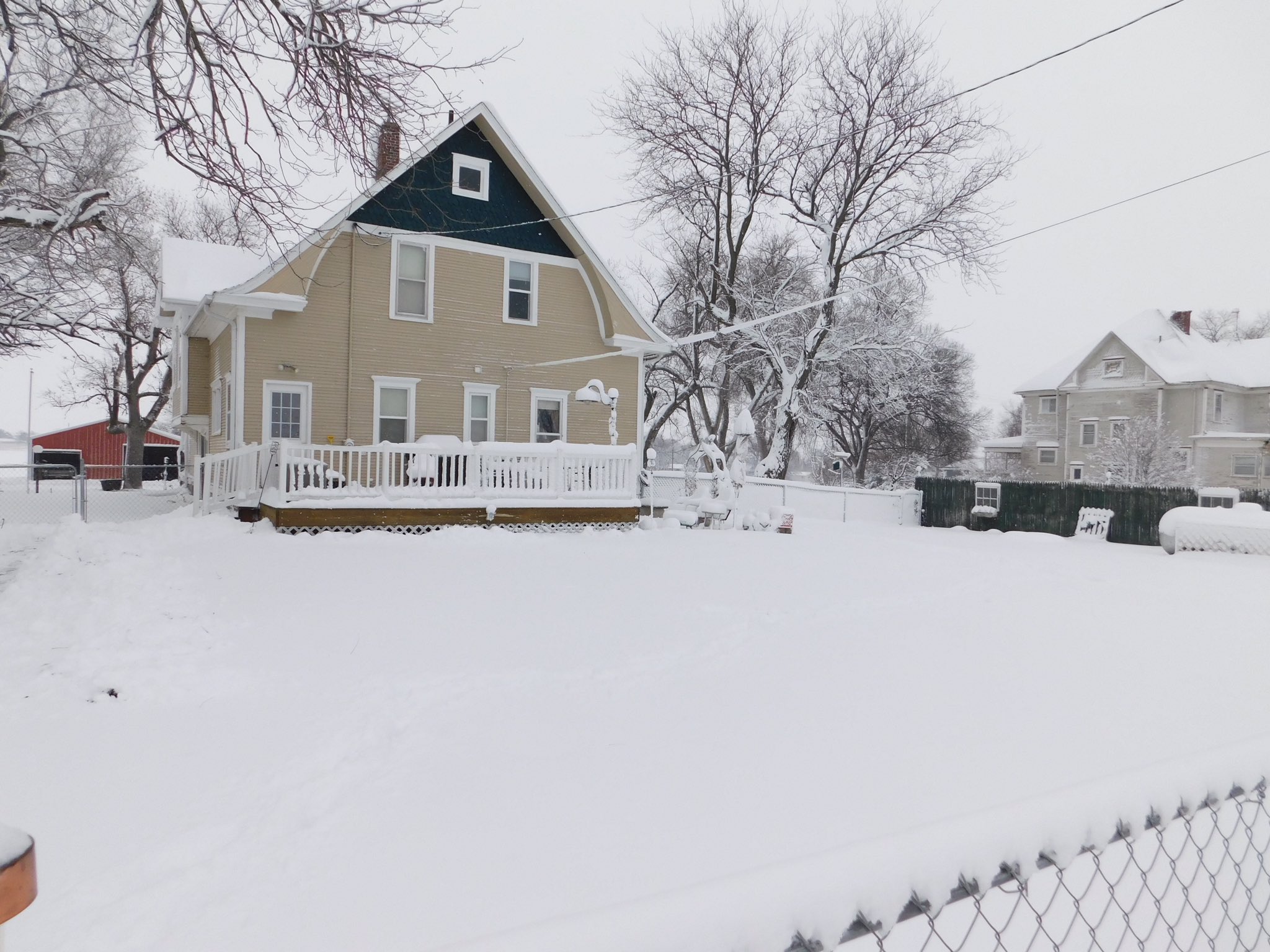
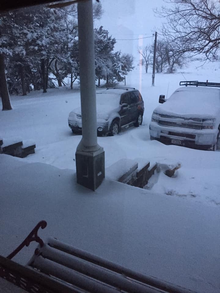
| Carleton, NE photo by Bill McPherson |
Deshler, NE photo by Adam Holle |
4 S Hebron, NE photo by Christy Farnstro |
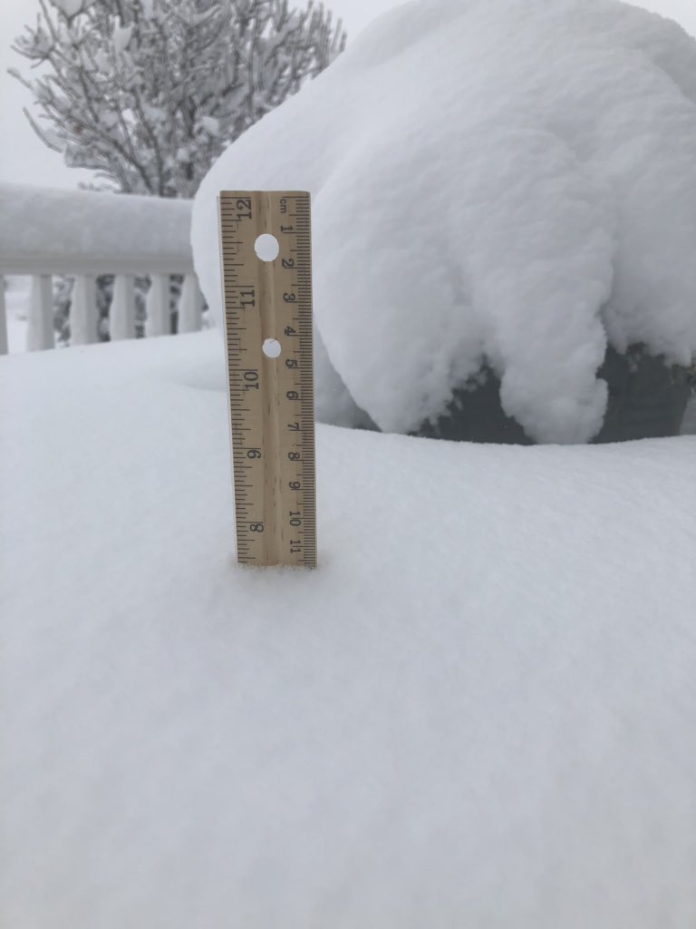
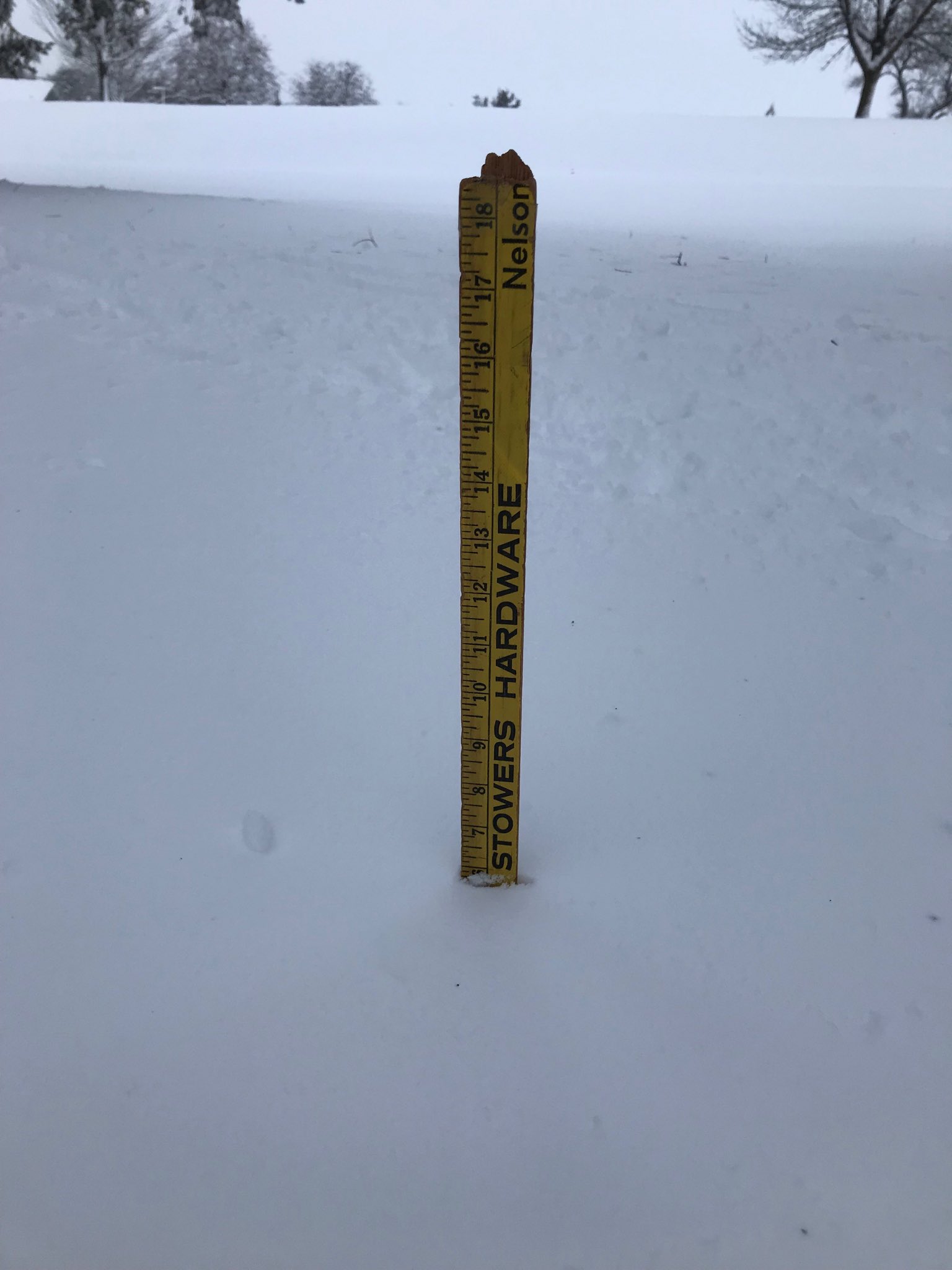
Nelson, NE photo by Peter Spirk |
 |
 |
 |
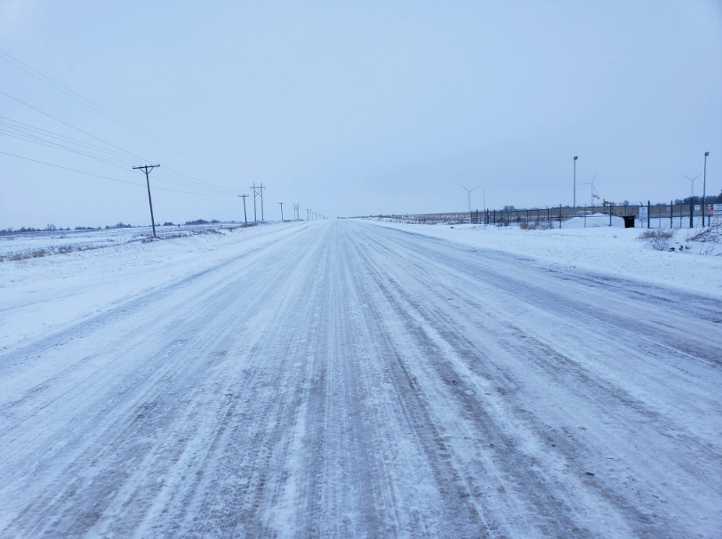 |
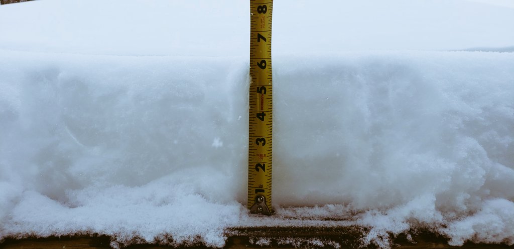
| Superior, NE photo by Rick Disney |
Beloit, KS photo by Joe Sporleder |
Oak, NE photo by Ty Behmerwohld |
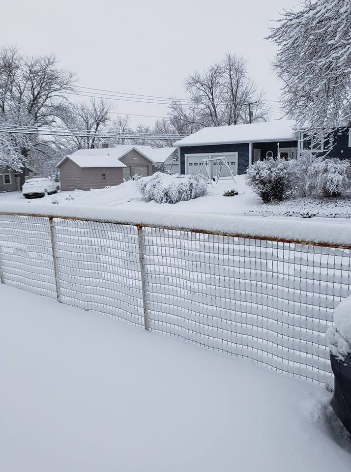
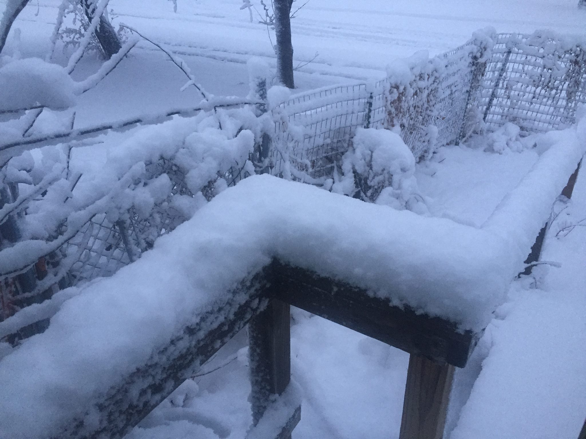
Near Blue Hill, NE photo by Nebraska State Patrol |
 |
Media use of NWS Web News Stories is encouraged! Please acknowledge the NWS as the source of any news information accessed from this site. |
|

