
Scattered thunderstorms with severe gusts, hail and a tornado risk are possible near a cold front from the Ohio Valley to the Mid-Atlantic tonight. Tropical Storm Bertha is expected to bring tropical storm conditions to portions of the Gulf Coast from the panhandle of Florida into Louisiana through Wednesday. Read More >
Overview:
|
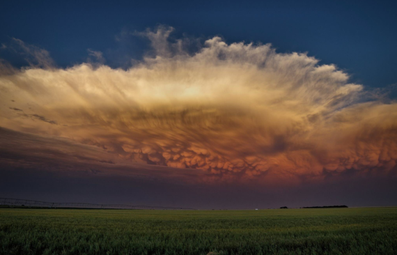
In what had been a quieter-than-average severe thunderstorm season within the 30-county NWS Hastings coverage area, the event on the evening of Tuesday, June 13th was likely the most significant/widespread of the year-to-date. Primarily between 6 PM-11 PM, a rash of severe storms consisting of both semi-discrete supercells and also linear clusters yielded dozens of large hail and damaging wind reports, primarily within a 30-50 mile wide corridor centered roughly along a line from Phillips/Smith counties in the southwest, then northeast through the Red Cloud, Hastings/Grand Island, Clay Center, Aurora and Osceola areas. |
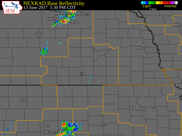 NWS Hastings radar loop from 5:30 p.m. CDT on June 13th through 7:00 a.m. CDT on June 14th. The NWS Hastings coverage area is outlined in orange and labled "GID". |
Storm Reports:
Below is a short list of the most significant storm reports received by NWS Hastings:
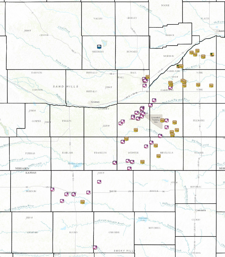
Click the image below for more detailed information regarding severe weather reports from the area.
 |
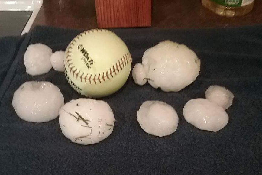
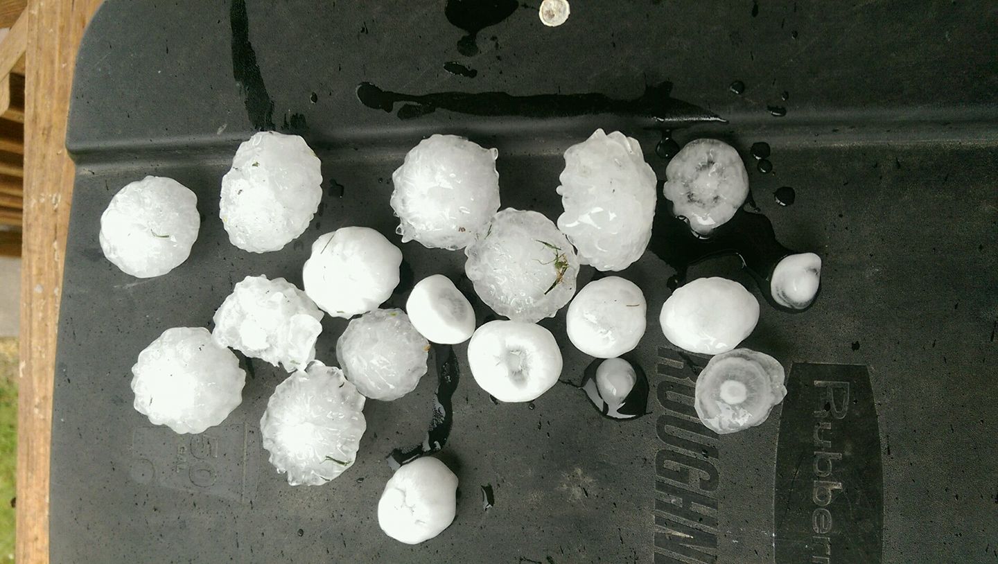
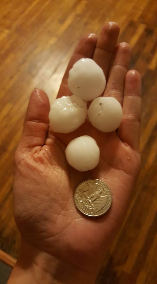
Hail Photos:
 |
 |
 |
 |
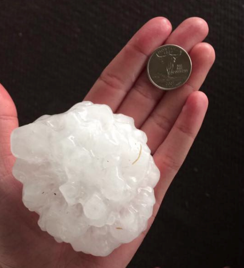
| Grand Island Photo by Daniel Hromas. |
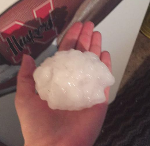
Grand Island Photo by Annette Lavender. |
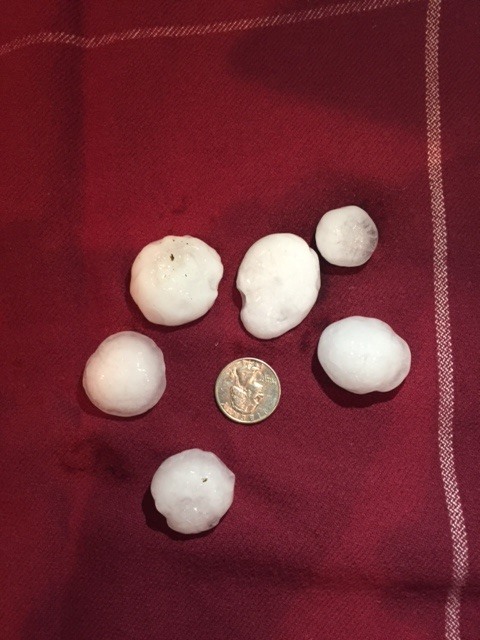
2 SW Hastings Photo by Nicki Butler |
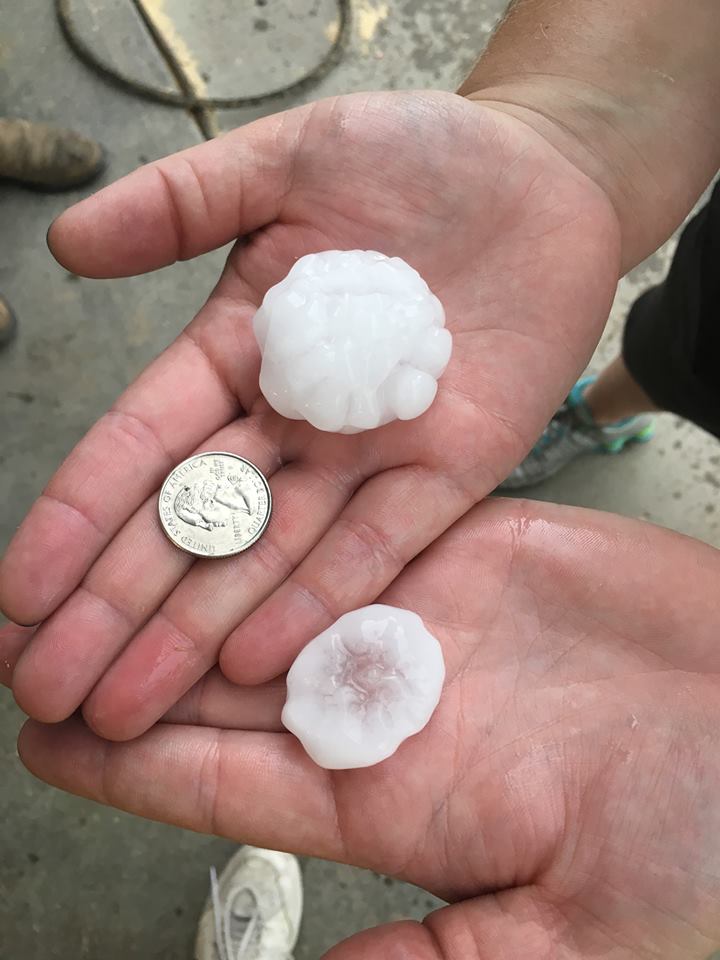
Hastings Photo by Amber Hoffman. |
 |
 |
 |
 |
| North of Grand Island Photo by Jeanne Mettinbrink. |
North Grand Island on Chapman Rd Photo by Terry Klein. |
2 SSE Juniata Photo by Susie Stahl. |
Agra, KS Photo by Ashlyn Atchison. |
 |
 |
 |
 |
| Roseland Photo by Misty Tilley. |
4 SW Adams Central HS Photo by Amanda Lear Duden |
Hastings Photo by Sara Schnase Stroman. |
Hastings - Idlewild neighborhood Photo by Kendra Weichman. |
 |
 |
 |
 |
| Southern Grand Island Photo by Rod Fay. |
Southwest Grand Island Photo by Mark Vanosdall. |
Hastings Photo by Brandon Modlin. |
Red Cloud Photo by Katie Ord. |
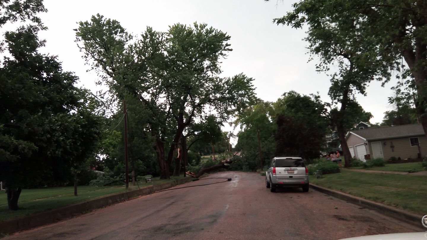
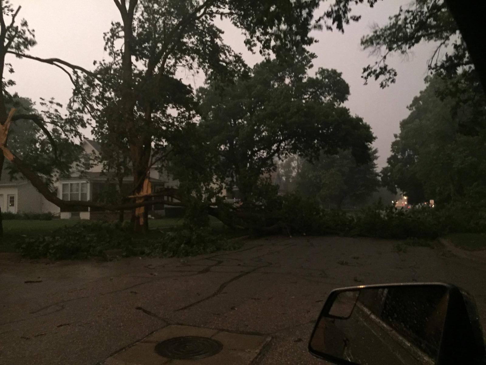
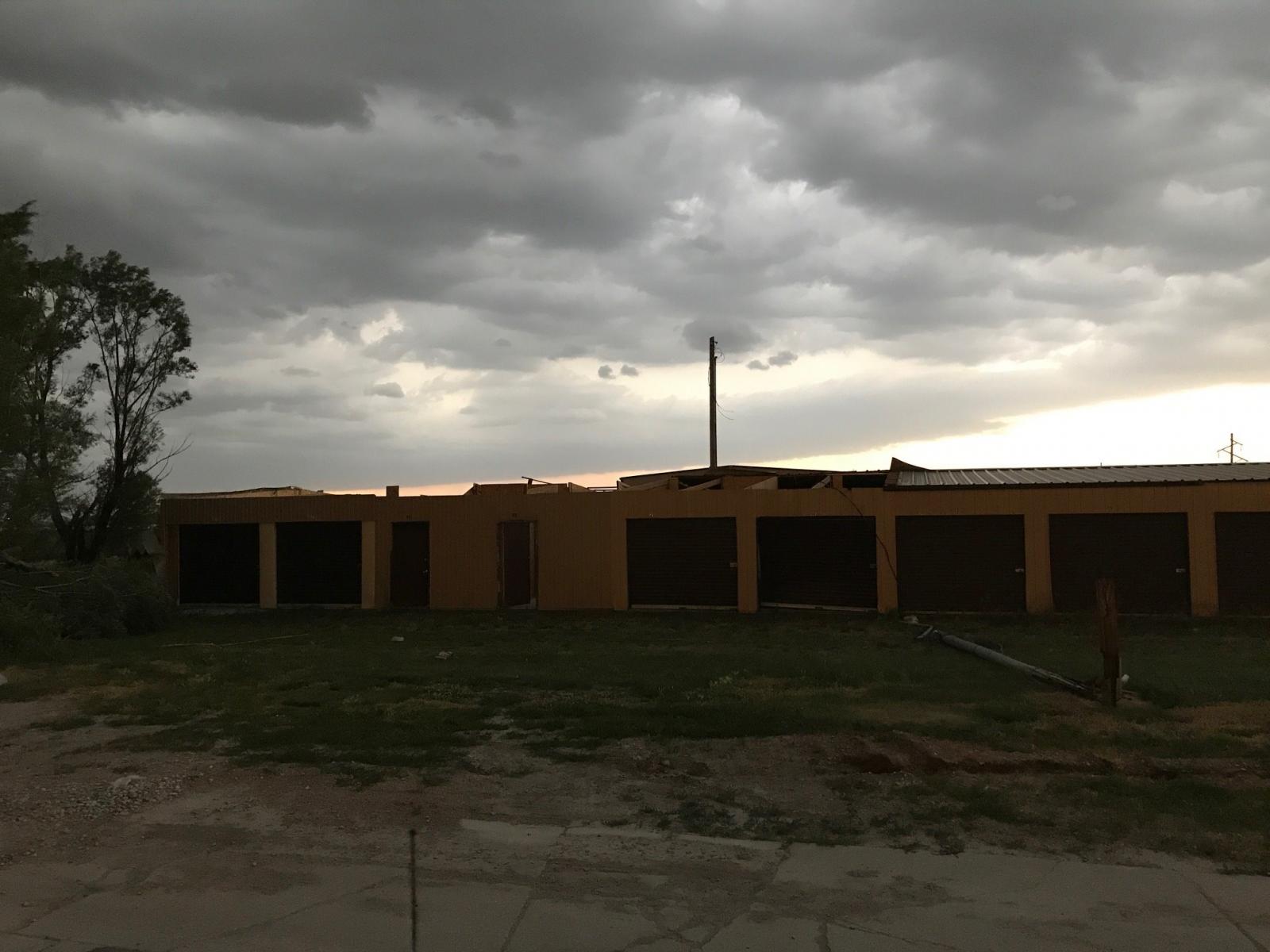
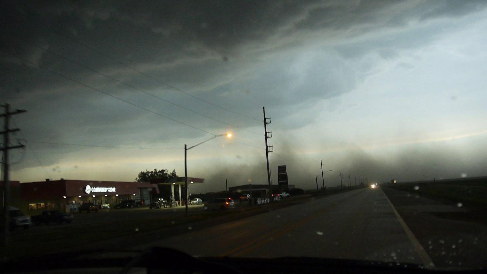
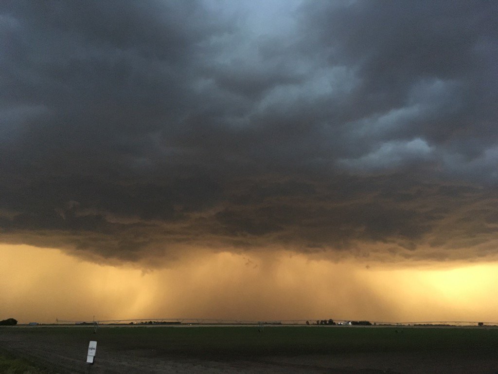
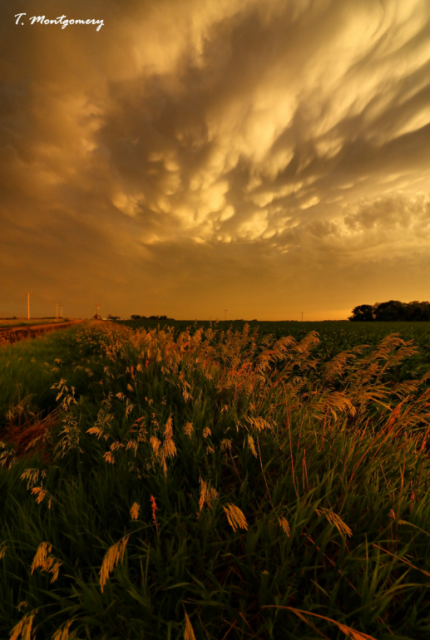
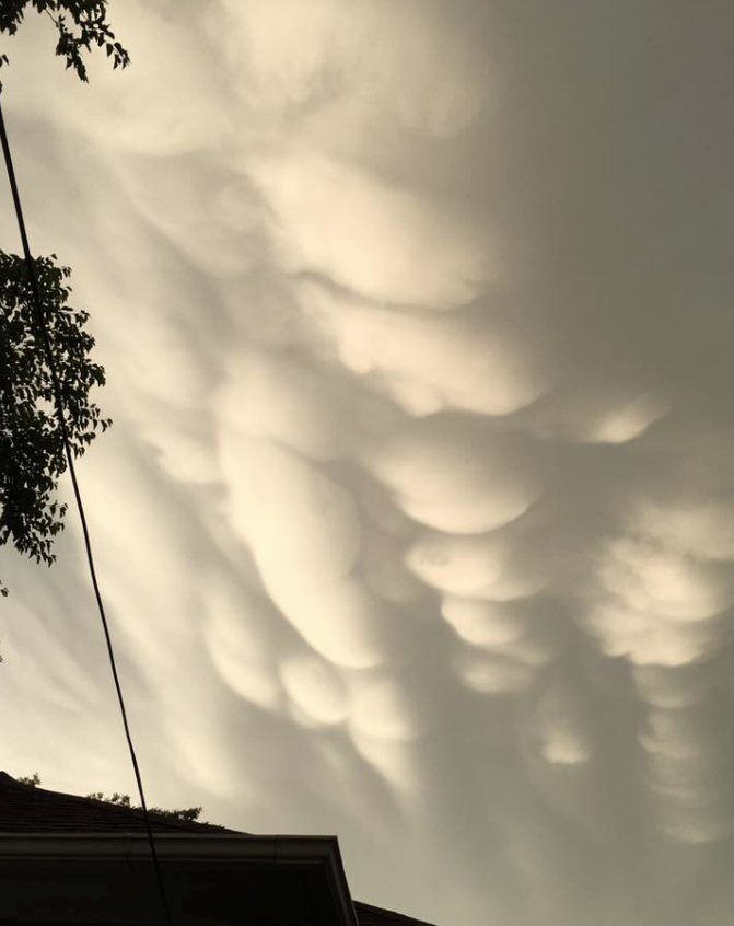
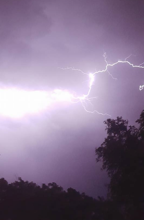
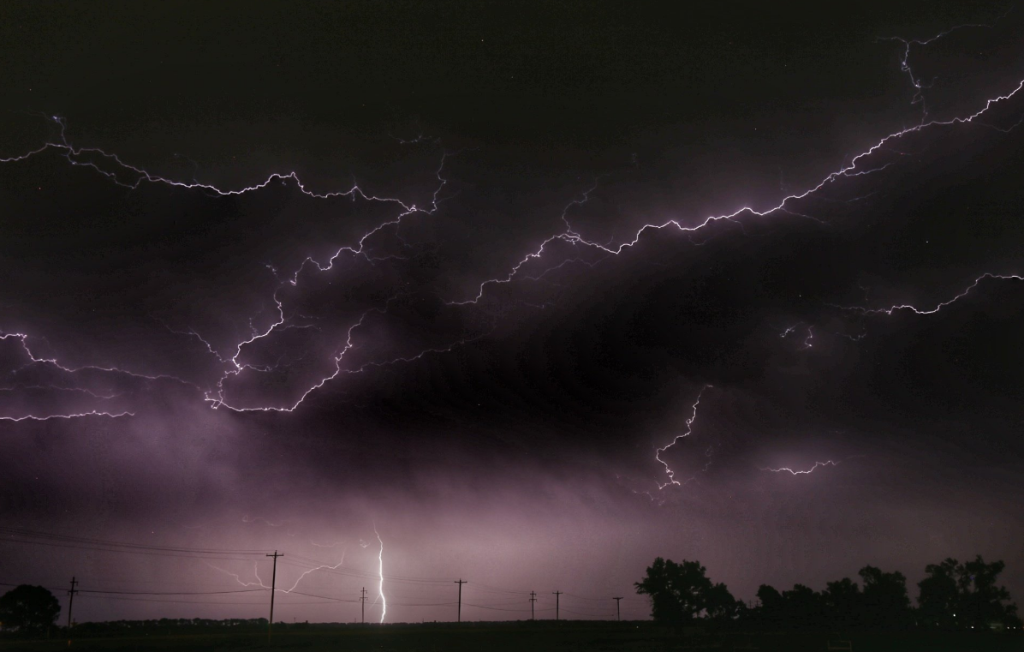
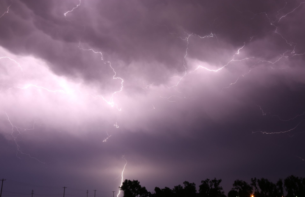
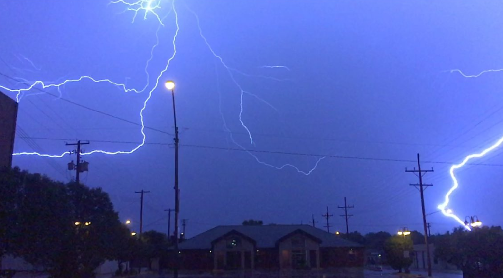
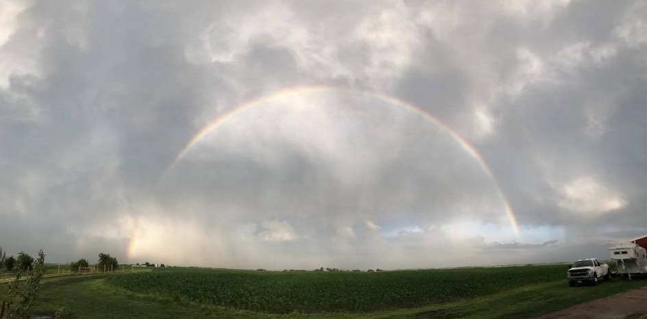
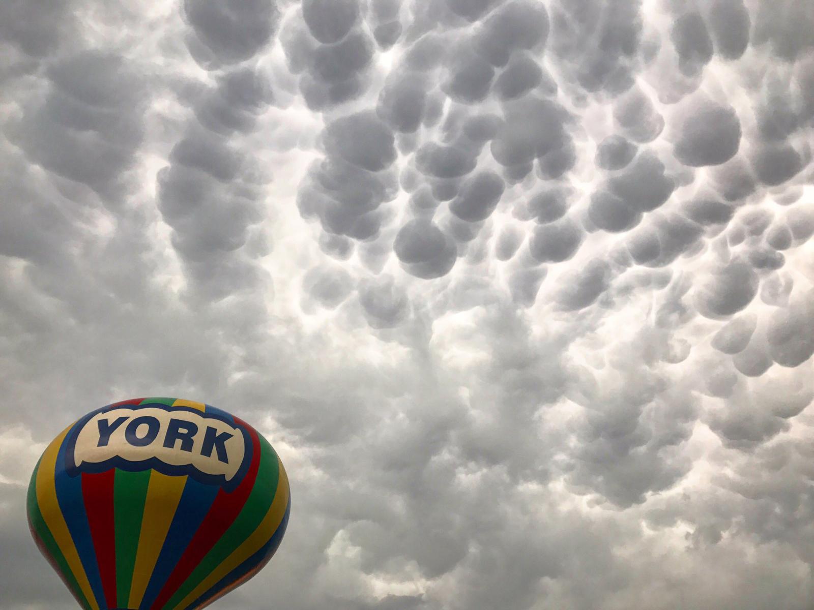
Wind & Other Photos:
 |
 |
| Tree damage in Genoa. Photo by Kiara Ziemba. |
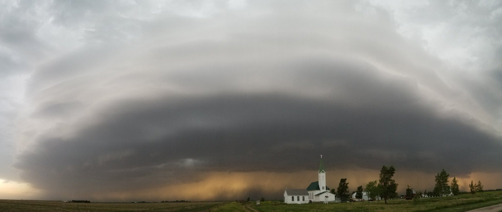
Looking from Bertrand Photo by Shawn Erickson. |
 |
 |
 |
 |
| Tree damage in Osceola. Photo by Steve Kumpf. |
Shed damage in Shelby. Photo by Grant Gabel. |
Shelby Photo by Jesse Risley. |
Near Shelby Photo by Melanie McKinney. |
 |
 |
 |
 |
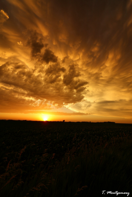
| Central Nebraska Photos by Taylor Montgomery. |
Grand Island Photo by Terri Marousek. |
Near Glenvil. Photo by Amanda Albers. |
|
 |
 |
 |
 |
| Near Kearney. Photos by Grady Dixon. |
York Photo by Jason Cooley. |
Rainbow near Pauline. Photo by Jesse Wirtes. |
|
 |
 |
 |
 |
| York Photo by Quincy Vagell. |
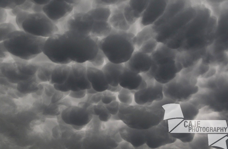
Near York. Photo by CAJE Photography. |
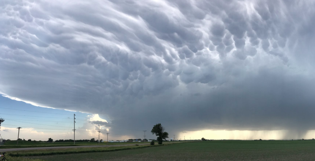
Near York. Photo by Jeff Frame. |
SW of Hastings. Photo by Brandon Sullivan. |
 |
Media use of NWS Web News Stories is encouraged! Please acknowledge the NWS as the source of any news information accessed from this site. |
|

