Overview
|
During the mid-afternoon hours on Thursday, May 29, 2008, numerous thunderstorms developed near a surface frontal boundary positioned across portions of western Nebraska and Kansas. This activity expanded in coverage as it pushed east across the area, working through a highly sheared and very unstable air mass. These thunderstorms produced several tornadoes, very large hail, damaging straight line winds and heavy rain. While activity lingered well into the overnight hours, the brunt of severe weather occurred between 4 - 11 p.m. |
 NWS Hastings radar loop from 3:30 p.m. on May 29 - 5 a.m. CDT on May 30. The NWS Hastings coverage area is outlined in orange and interstates are in red. |
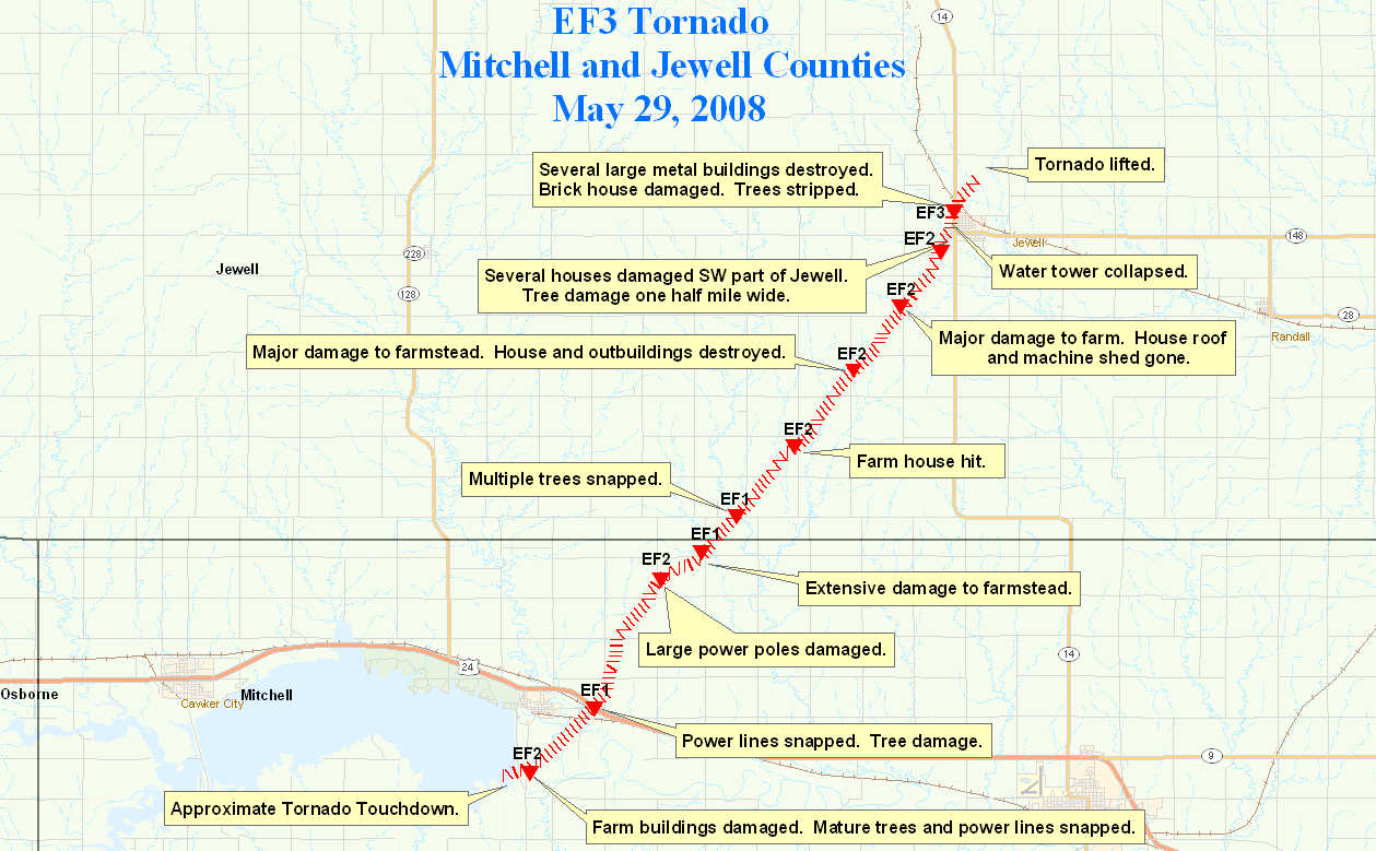
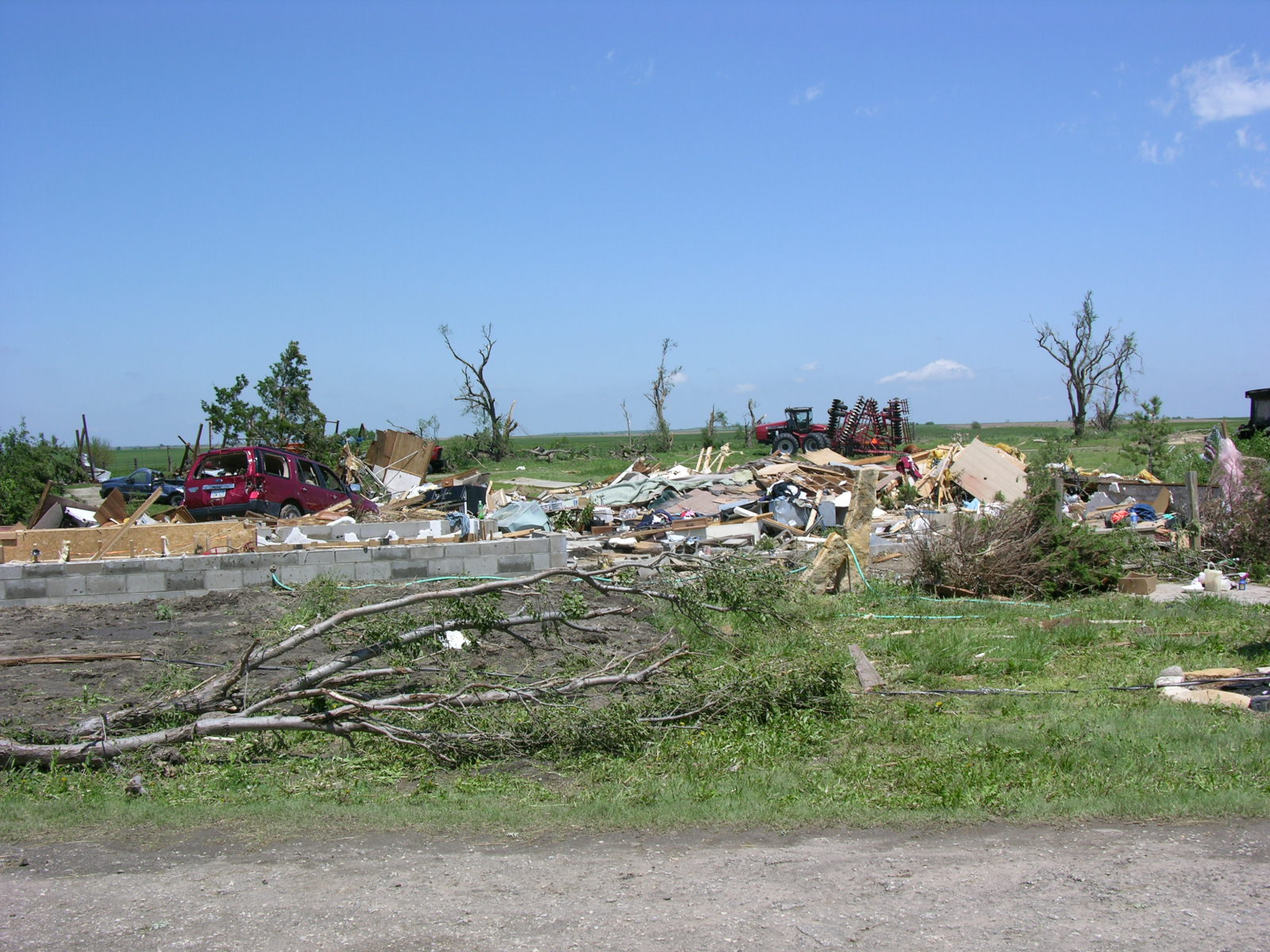
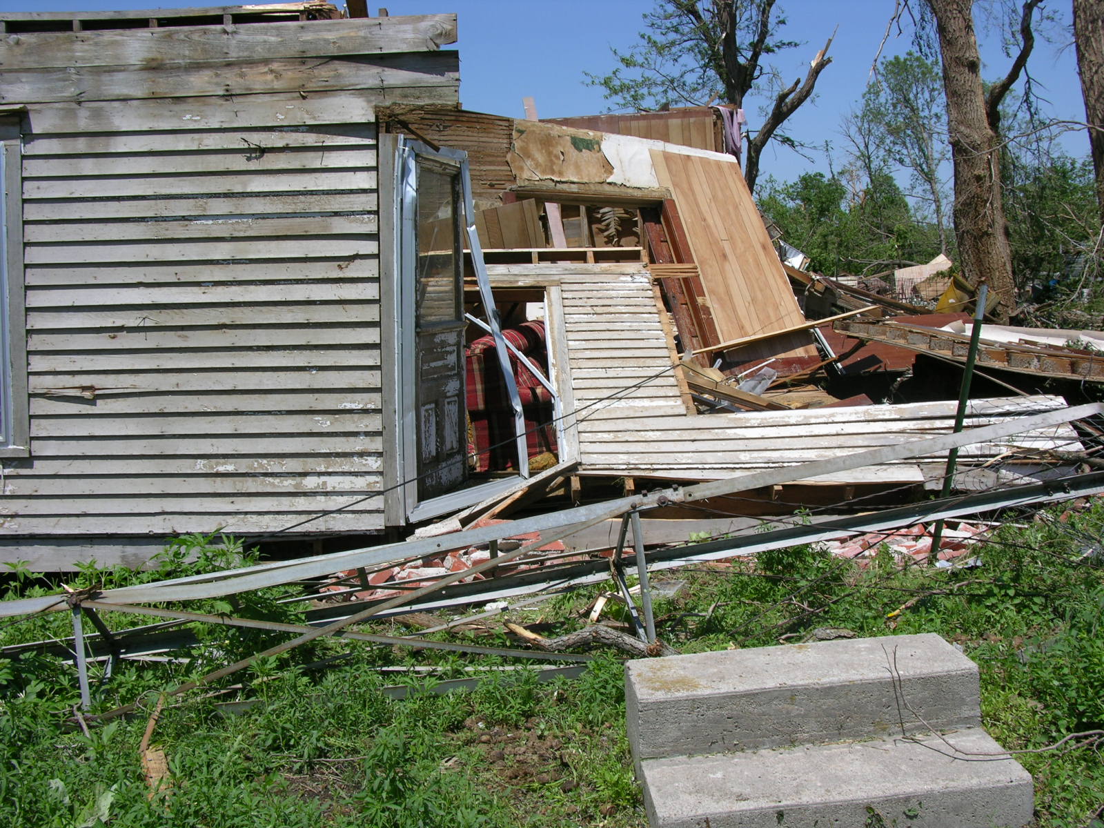
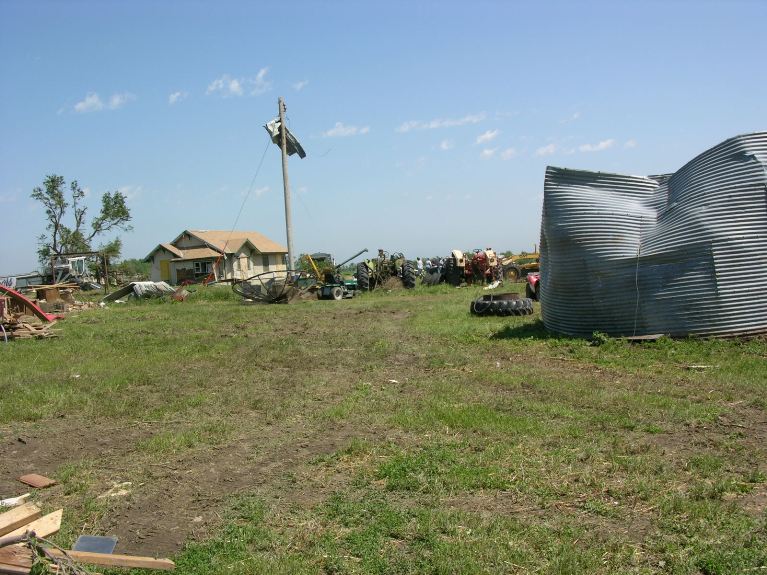
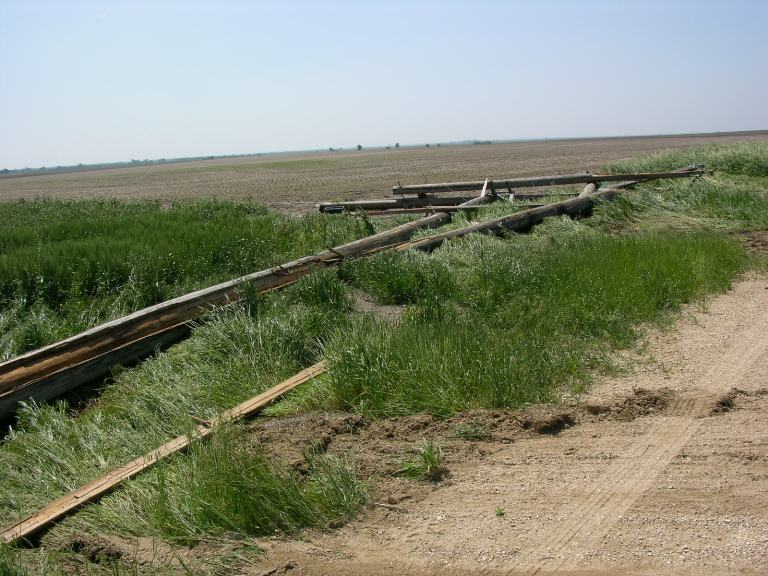
This EF3 tornado moved out of Mitchell County and into Jewell County about 4 miles west of Highway 14. As the tornado moved northeast and was southwest of the town of Jewell, it hit three farmsteads and severely damaged the homes and outbuildings at these locations. One of the homes was completely destroyed and other had a machine shed also destroyed. Trees and power poles and lines were also damaged along its path. The tornado entered the southwest side of community of Jewell and moved across the west side of town. Several homes and businesses were damaged or destroyed. The Jewell Café and the Bourbon Trucking Company were destroyed. The town’s water tower was also blown down by the tornado. The tornado lifted about two miles northeast of town. Luckily no injuries were reported. The tornado was on the ground from 8:40 p.m. - 9:14 p.m., and had a path of nearly 18 miles and a width of up to 1/2 mile.
Other tornadoes occurred between 8-9:30 p.m., and included an EF1 with a path running from near Corinth to 6 NE of Glen Elder, and 2 EF0 tornadoes in the Formoso and Solomon Rapids/Randall areas. The path of these tornadoes was in rural areas, with damage mainly confined to trees.
 |
 |
 |
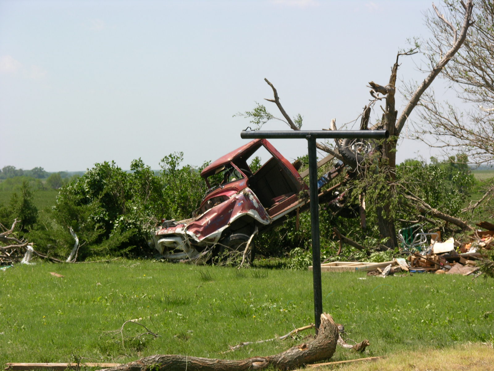 |
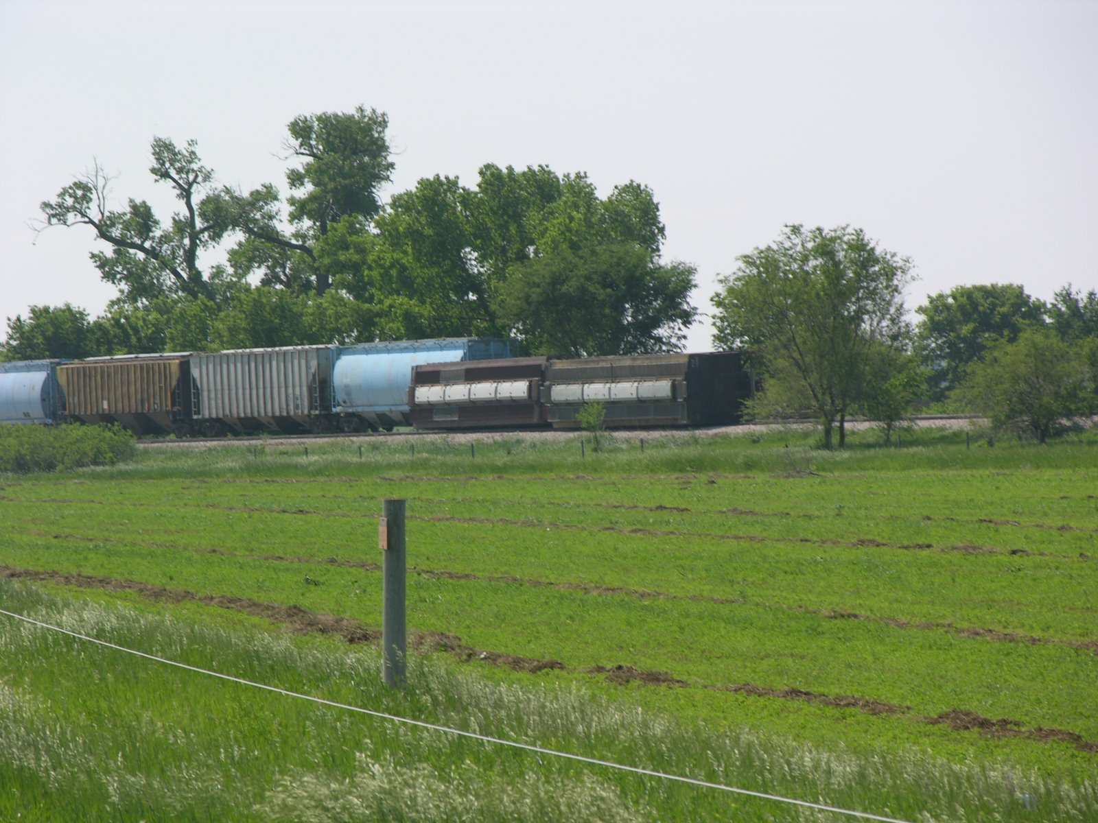
| EF3 tornado track | Damage along the tornado path. | ||
 |
 |
 |
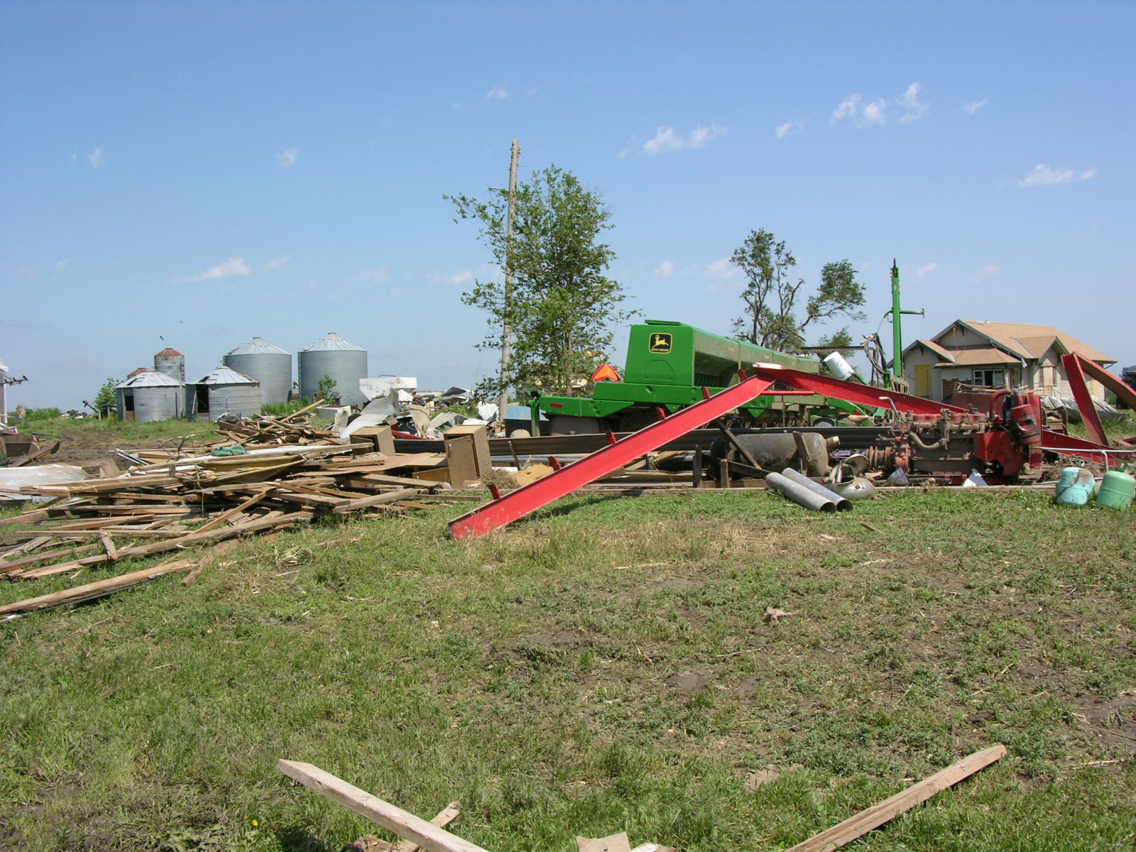 |
| Damage along the tornado path. | |||
A storm survey team from the National Weather Service Office in Hastings has surveyed the damage from the tornado that struck the Kearney area on Thursday afternoon, May 29, 2008. The team determined that there were three main separate damage paths with the storms.
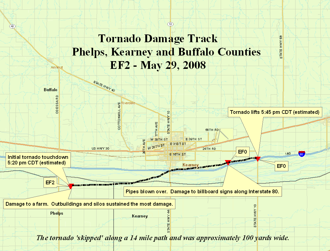
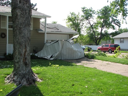
The first damage path (Image 1) began in northwest Phelps County at 5:20 p.m., and after skipping along a distance of about 15 miles, ended in Buffalo County near Interstate 80 exit 279 around 5:45 p.m. The damage caused by the strongest winds were estimated to be an EF-2 or between 111-135 mph. Damage was mainly confined to the collapse and destruction of a few farm out buildings, uprooted trees, light structural damage to several residences, and power poles blown over. The maximum width of th tornado damage was estimated to be 100 yards. There were no injuries or deaths.
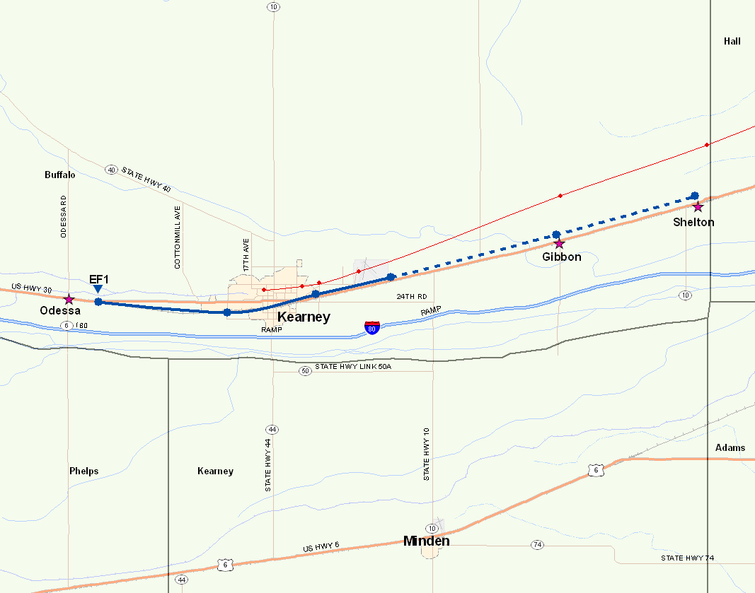
The second damage path (Image 2) began around 5:15 p.m. in Buffalo County about 2 miles east of Odessa and ended near Shelton around 6:00 p.m. This wind damage, per eyewitness reports, featured the developement and dissipation of multiple weak tornadoes. None of these tornadoes remained on the ground for more than a few minutes, but there were tornadoes on the ground for almost the entire 25 mile path length. The damage noted was consistent with that of an EF-1 rating, or winds between 86-110 mph. This damage path began as scores of empty coal train cars were blown over. The tornadoes affected a large part of the central residential area in the city of Kearney. There were hundreds of trees and literally thousands of tree limbs that crashed into homes, businesses, and vehicles. There was some minor siding and roof damage to structures caused by the winds. These winds also knocked down power lines and signs and displaced several empty grain bins. The maximum width of the tornado damage was estimated to be less than 100 yards. There were no injuries or deaths reported with these tornadoes. The blue dashed line represents the portion of the path were touchdowns were more sporadic.
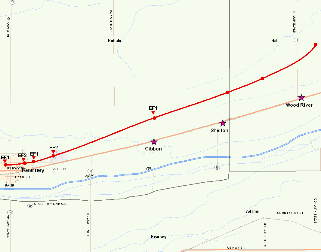
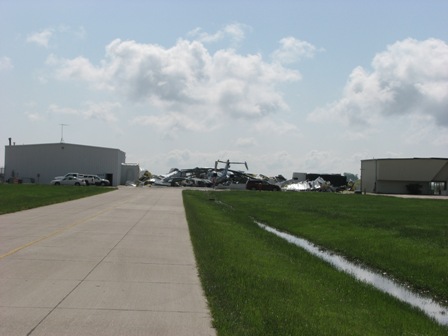
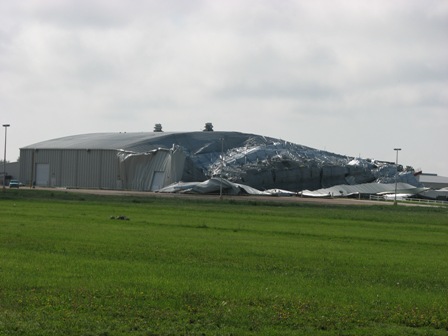
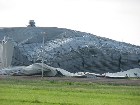
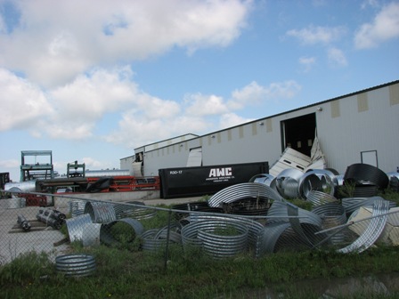
The third tornado damage path (Image 3) was the most organized, as this tornado was the most persistent. It appeared to remain on the ground for the majority of its 30 mile long path. It began near Harmon Park in the city of Kearney around 5:25 p.m. It moved east through the Buffalo County Fairgrounds, causing the Expo Center to partially collapse. The tornado then continued east to the Kearney Airport where it destroyed a hanger and an aircraft housed inside. The tornado then continued to move east/northeast for nearly 30 miles before lifting about 6 miles north of Wood River in Hall County around 6:25 p.m. This tornado was rated a high end EF-2, or with winds estimated near 135 mph at times. Other damage caused by this long track tornado included multiple businesses on the northeast side of Kearney sustaining structural damage, including loading dock bay doors being blown in or sucked out and some collapsing of walls. When the tornado moved into rural areas, many farmsteads were hit. There was very limited damage to the residences, but many out buildings and empty grain bins were damaged or destroyed. There were multiple power poles and lines down by this storm. The maximum width of the tornado damage was estimated to be 400 yards. No injuries or deaths were reported with this storm.
 |
 |
 |
|
| Image 1 | Image 2 | Image 3 | |
 |
.jpg) |
 |
 |
 |
 |
 |
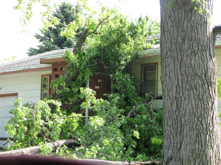 |
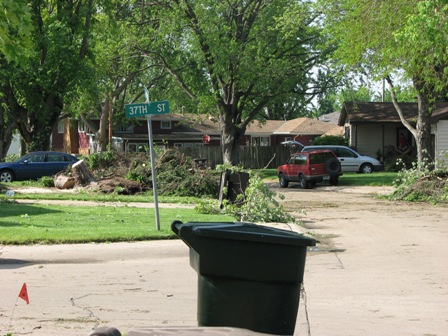
| The above photos were taken by NWS Hastings personnel in the Kearney area during the damage survey done on May 30th, 2008. | |||
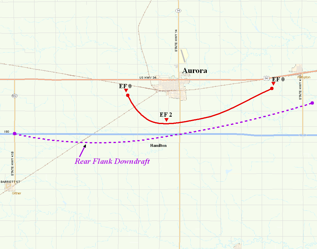
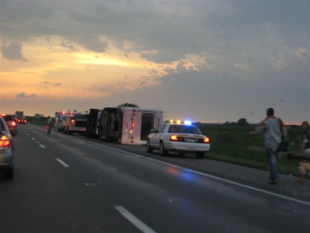
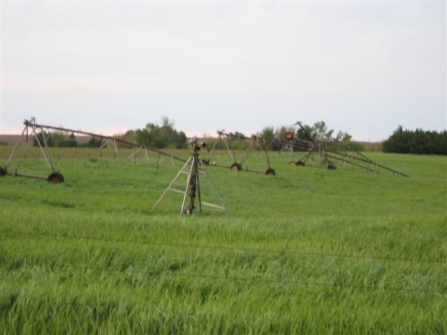
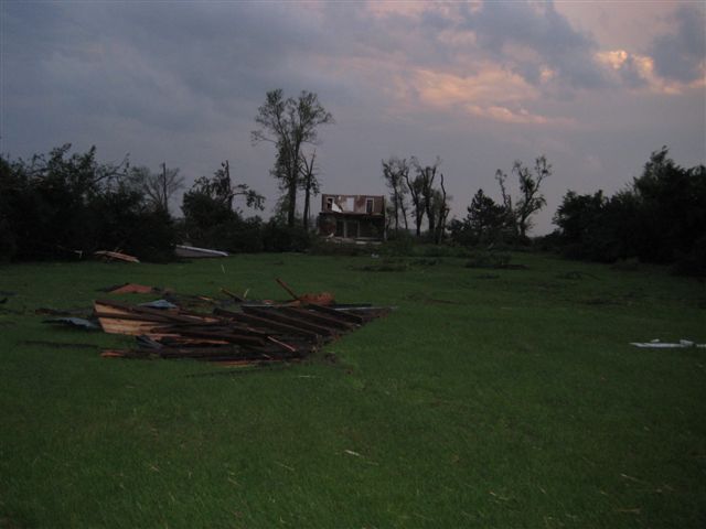
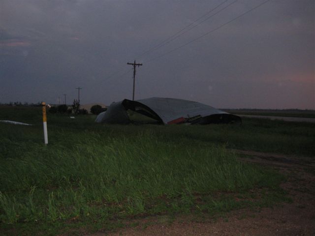
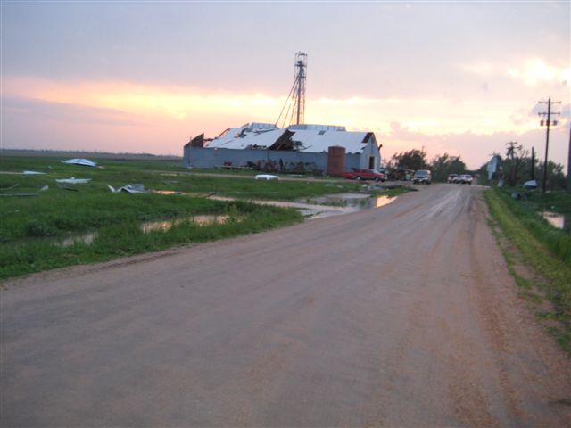
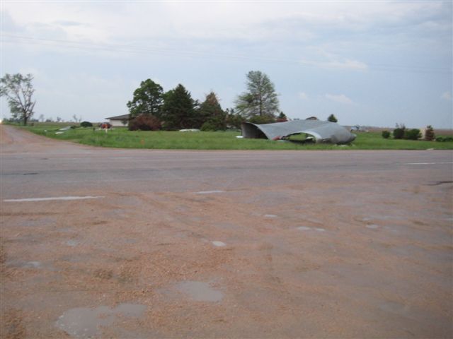
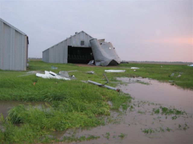
From the damage survey conducted on May 30, it appears that a tornado set down 3 miles west of Aurora around 7:05 p.m. and traveled to the southeast. When the tornado was about 2 miles south of town it rapidly intensified and increased to a half mile wide. At this point the winds were estimated to be around 130 mph and this would rate at an EF2. This wide tornado moved east and crossed Nebraska Highway 14 about a mile north of Interstate 80. The tornado then turned more to the northeast and started to decrease in strength. The tornado lifted about a mile southwest of Hampton around 7:28 pm. The tornado was on the ground for 9 miles.
To the south of the tornado track, strong winds associated with a rear flank downdraft (RFD) caused a damage path that started at the Giltner interchange on Interstate 80 which is about 3 miles north of the town of Giltner. The damage path continued just south of the interstate to the Aurora interchange. These winds caused the damage to the gas stations located at the interchange. The damage path then turned northeast and continued to about 2 miles southeast of Hampton. From the damage along the path of the RFD, winds would be estimated to be around 80 to 90 mph. The RFD began to interact with the tornado when it was south of Aurora and it is thought to have helped increase the intensity of the tornado by enhancing the inflow to the tornado. This inflow was responsible for blowing over several semi-trailer trucks on the Interstate. There were 5 reported injuries at this location, all minor. They were transported to the local hospital, where they were treated and released.
 |
 |
 |
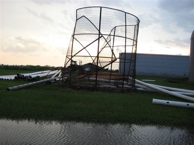 |
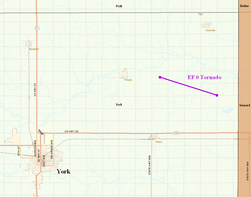
| Tornado tracks in Hamilton & York Counties. The photos following were taken in Hamilton County. | |||
 |
 |
 |
 |
 |
 |
 |
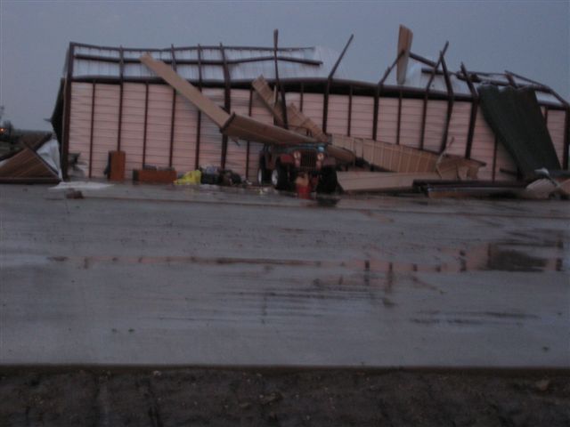 |
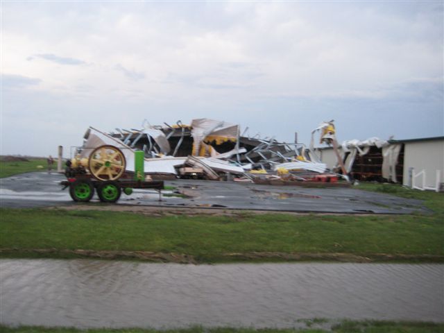
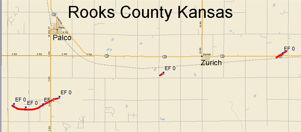
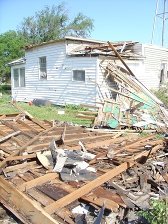
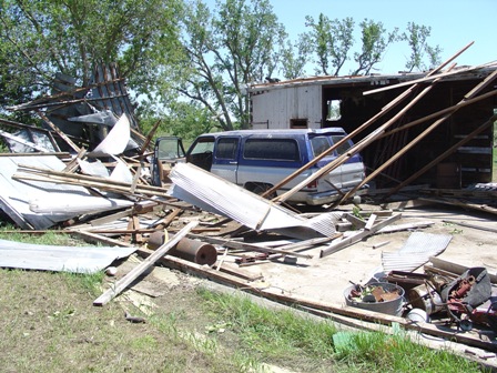
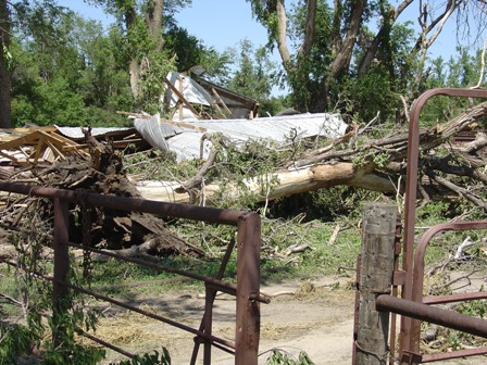
The first tornado touched down 4 miles southwest of Palco and tracked east to 3 miles south of Palco. The tornado touched down around 6 p.m. and was on the ground for around 2 miles, damaging four farms. The damage was primarily confined to outbuildings, garages, and trees. The most significant damage was a wood framed metal building, which was completely destroyed and rated as EF1 with wind speeds to 105 mph. This same storm later produced two brief tornadoes either side of Zurich snapping power poles and was rated EF0.
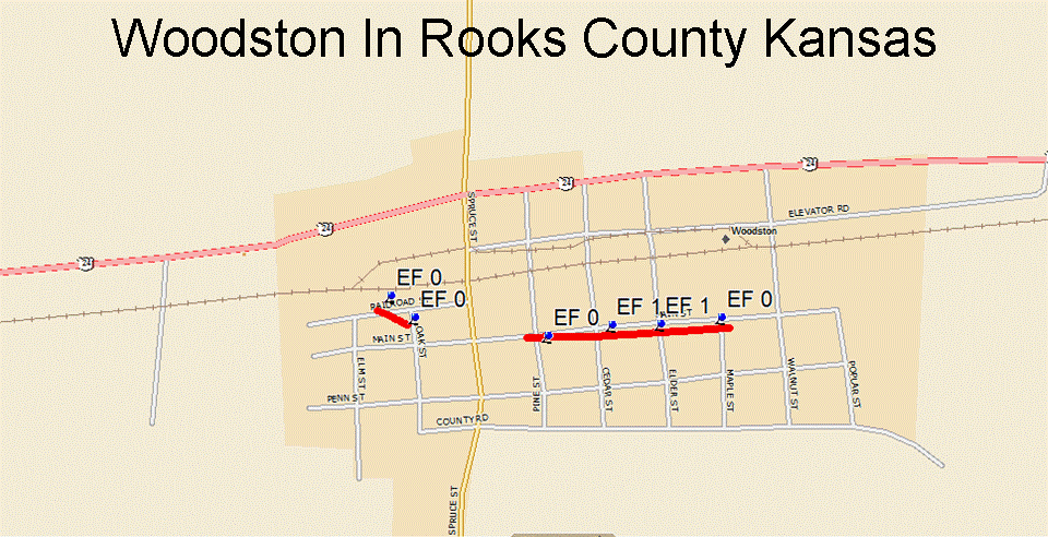
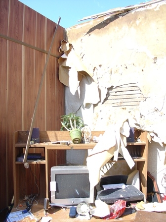
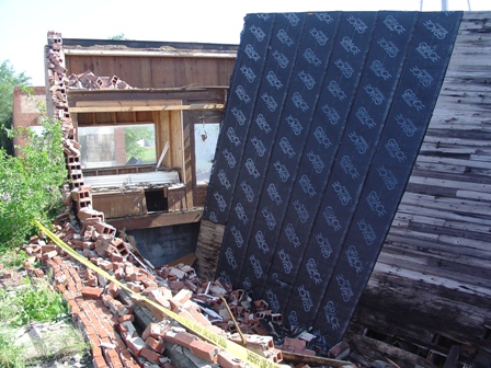
Another supercell storm produced a brief tornado in the town of Woodston around 6:40 p.m. Eye witness accounts suggest this tornado skipped through town on its short path. The most significant damage was done to a brick building and a house along main street. This damage was rated as EF1 with winds speeds of 85 to 90 mph.
 |
 |
 |
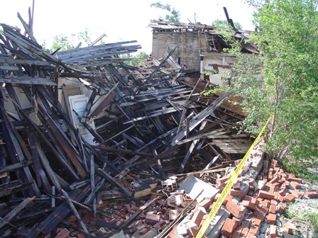 |
| Tornado tracks in Rooks County. | Damage from the Woodston tornado. | ||
 |
 |
 |
 |
| Damage from the Woodston tornado. | Damage from the Palco tornado. | ||
 |
 |
 |
 |
| Damage from the Palco tornado. | |||
 |
Media use of NWS Web News Stories is encouraged! Please acknowledge the NWS as the source of any news information accessed from this site. |
|



 Follow us on X
 Follow us on Facebook
 Follow us on YouTube
 GID RSS Feed