
Dangerous and extreme heat will remain across portions of the central U.S. this week, persisting across the mid to lower Mississippi Valley, Gulf Coast, southern Plains and portions of Texas. A heat wave over the Southwest U.S. will peak this weekend. Heavy to excessive rainfall may produce flash flooding from the Delmarva Peninsula north into the Hudson Valley today and tonight. Read More >
Hastings, NE
Weather Forecast Office
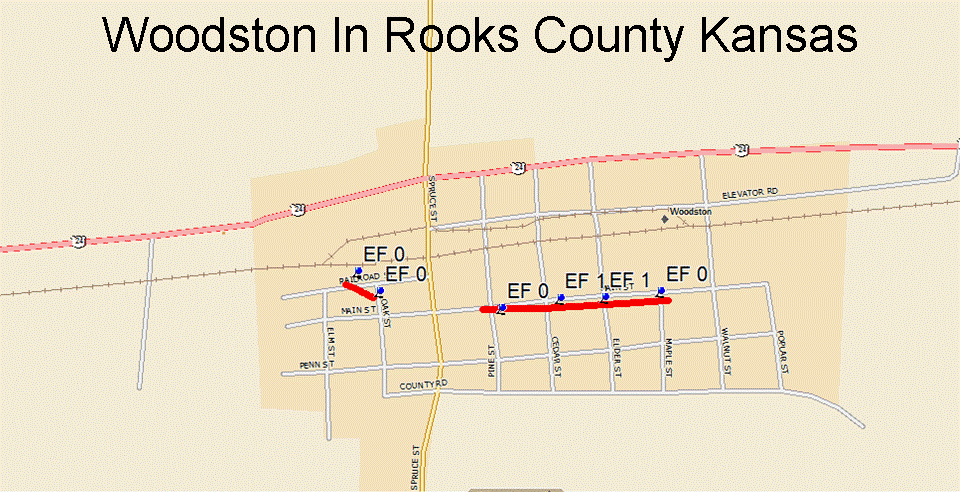
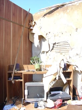
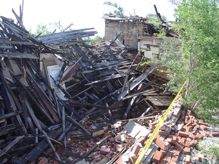
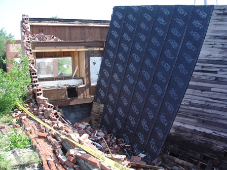
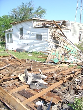
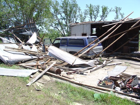
The following damage pictures are from the Woodston Kansas Tornado:
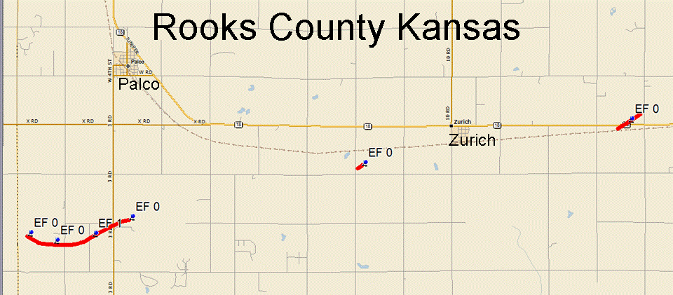
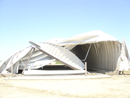
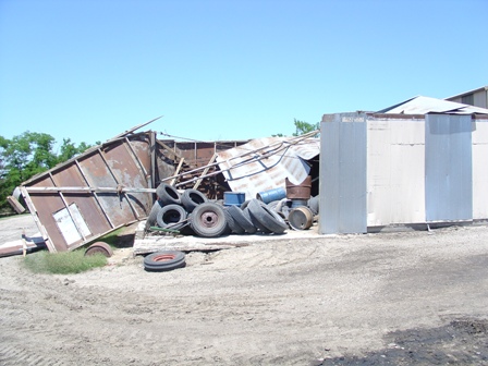
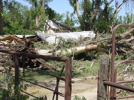
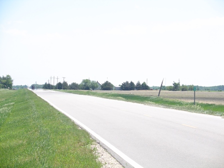
The following damage pictures are from the tornado originating south of Palco:


Hazardous Weather
Submit A Storm Report
Storm Prediction Center
Local Storm Reports
Experimental Graphical Hazardous Weather Outlook
Forecasts
Area Forecast Discussion
Fire Weather
Aviation Weather Center
Experimental Probabilistic Precip Amount Forecast
Winter Weather
Winter Storm Severity Index
Experimental Winter Storm Outlook
Wet Bulb Globe Temp
Activity Planner
Current Conditions
Current Area Observations
Text Products
Satellite
Rivers and Lakes
Local 24 Hour Precip Maps
Local Archived Precip Maps
NWPS Precipitation Analysis
Local Snowfall Maps
Snowfall Analysis
Snow Cover
Climate
Local Database (NOWData)
Local Climate Webpage
Hastings/G. Island Records
Local Historical Tornado Info
U.S. Drought Monitor
Grand Island - Daily
Grand Island - Monthly
Hastings - Daily
Hastings - Monthly
Kearney - Daily
Kearney - Monthly
Ord - Daily
Ord - Monthly
US Dept of Commerce
National Oceanic and Atmospheric Administration
National Weather Service
Hastings, NE
6365 North Osborne Drive West
Hastings, NE 68901-9163
402-462-4287
Comments? Questions? Please Contact Us.

