Widespread life-threatening flash and urban flooding continues in south-central Texas, with considerable flooding impacts possible across central Texas. Wildfire smoke is impacting air quality across much of the Great Lakes region into southern New England and the Mid-Atlantic. Monsoonal thunderstorms may produce isolated to scattered flash flooding across the Southwest into the Great Basin. Read More >
Overview
|
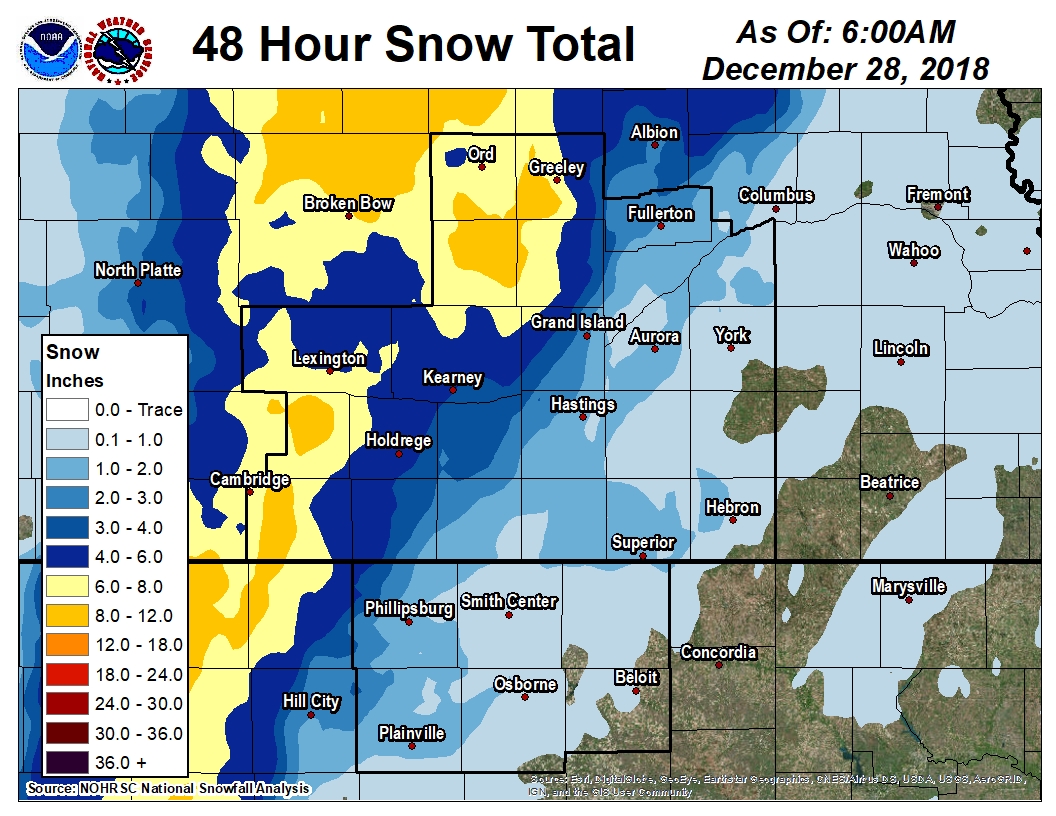
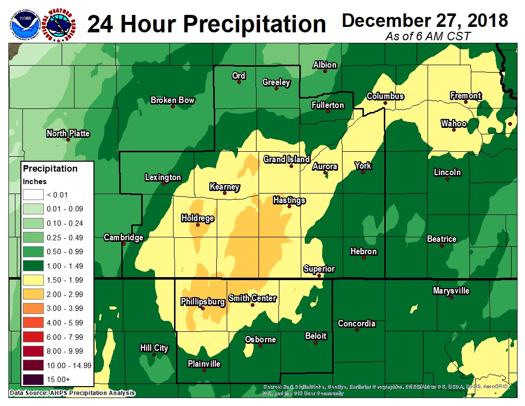
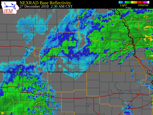
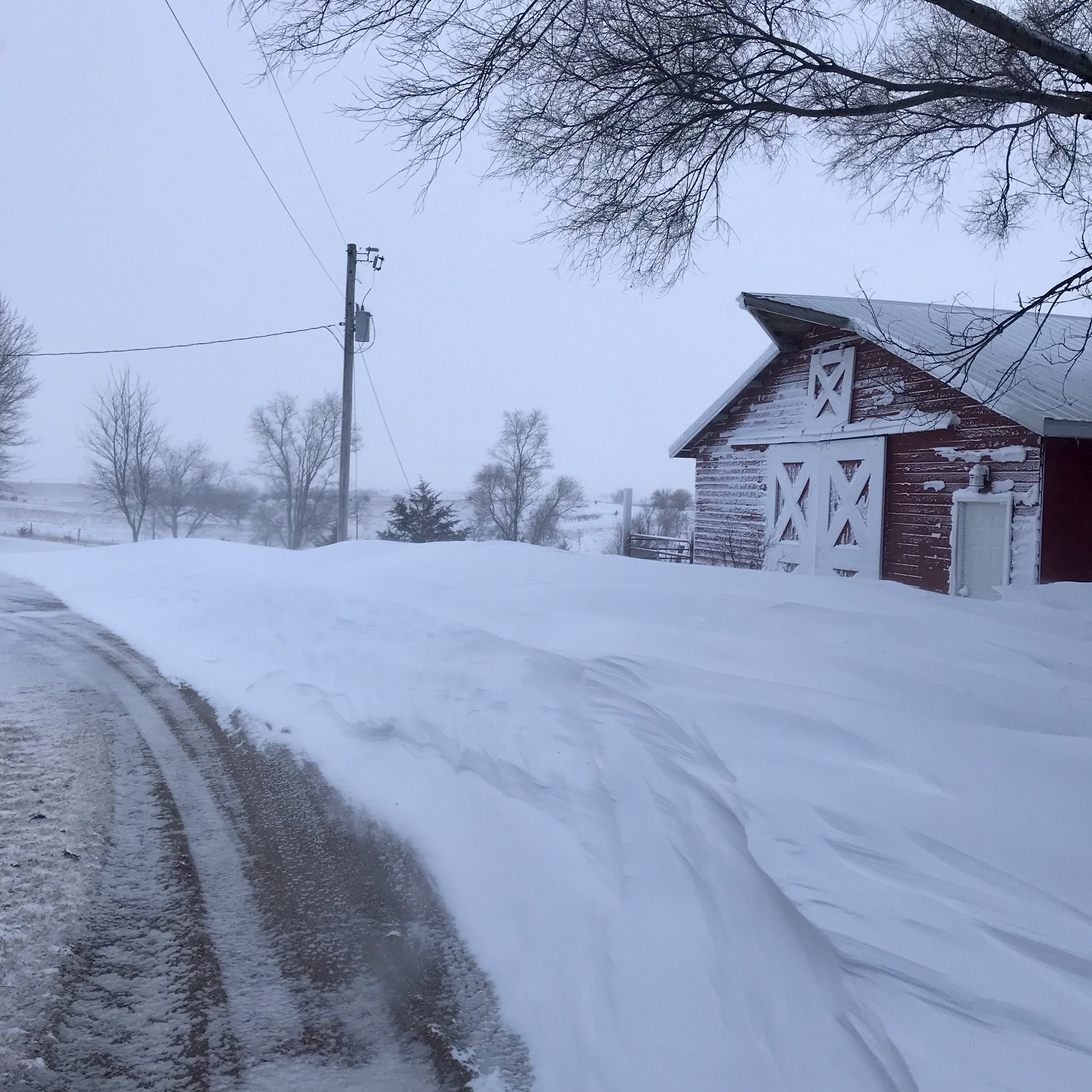
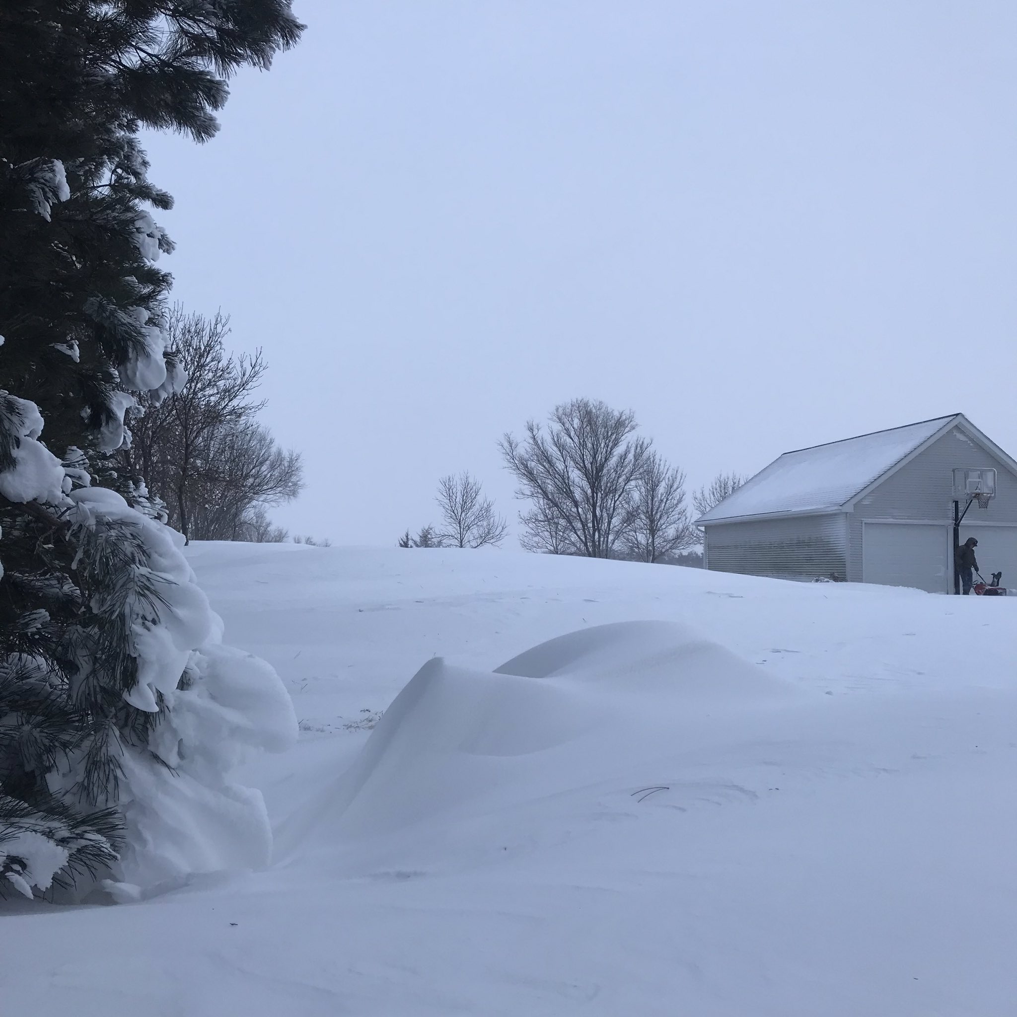
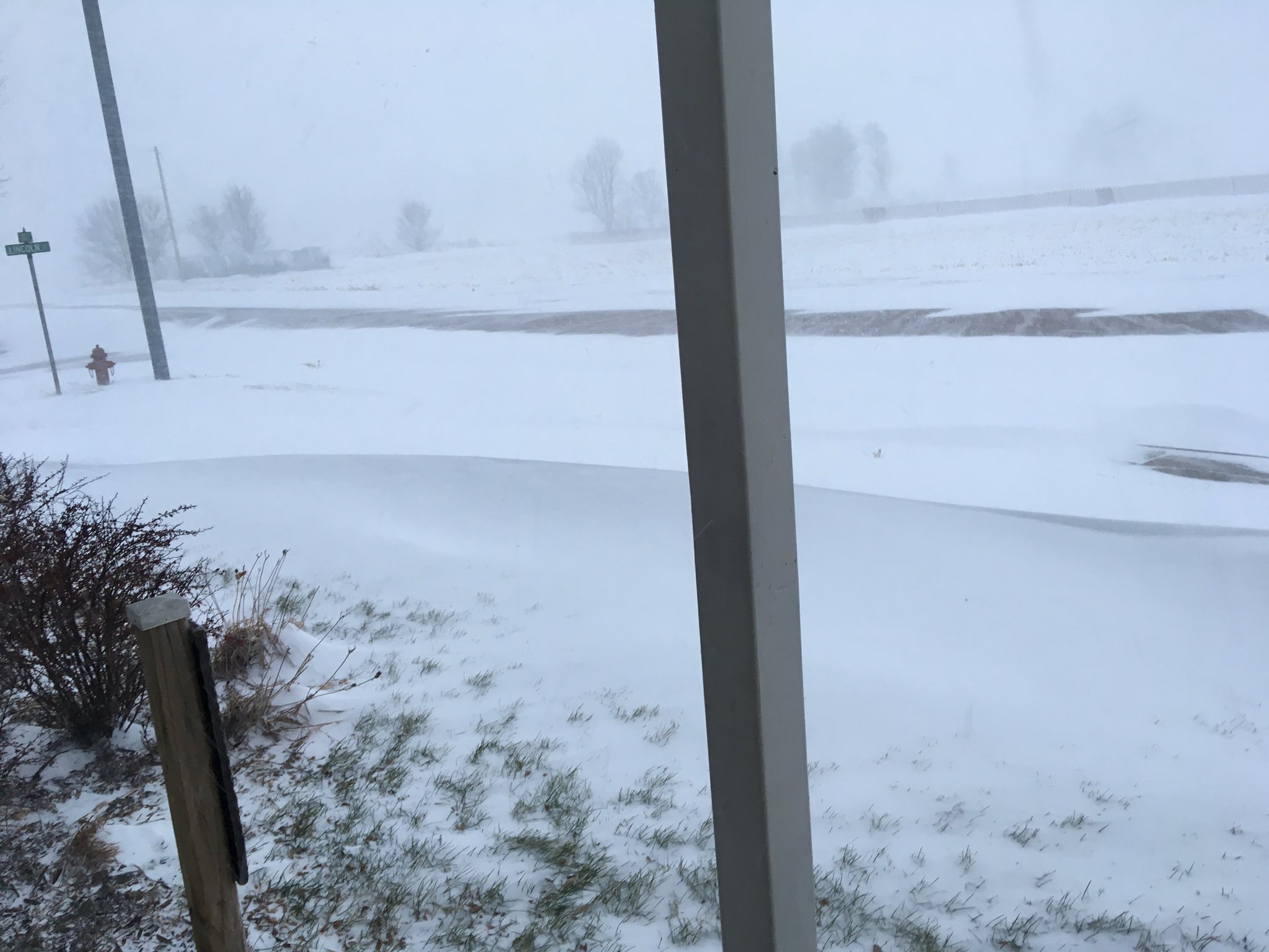
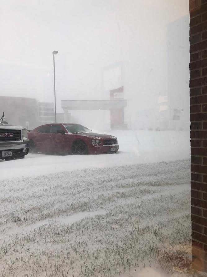
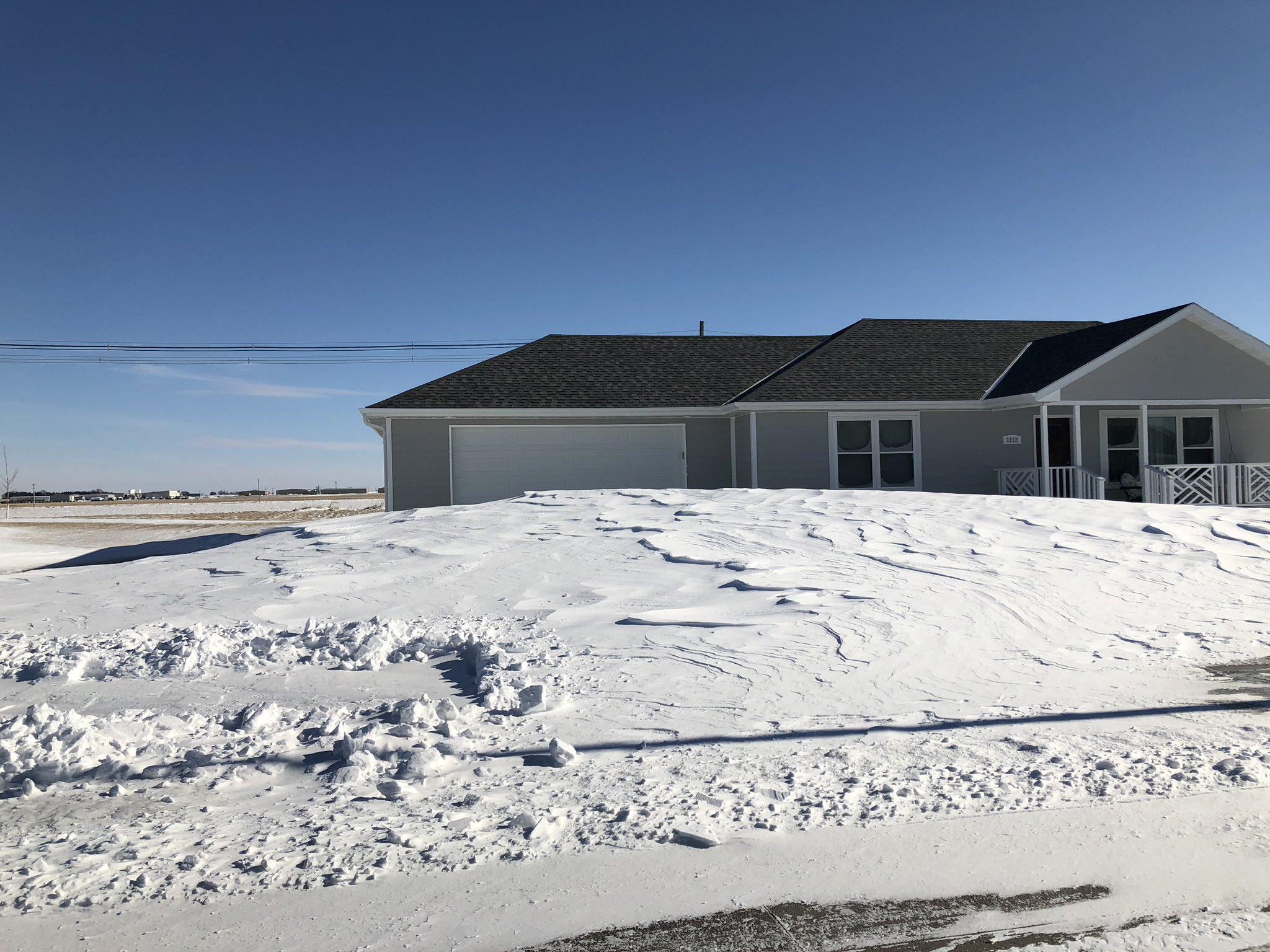
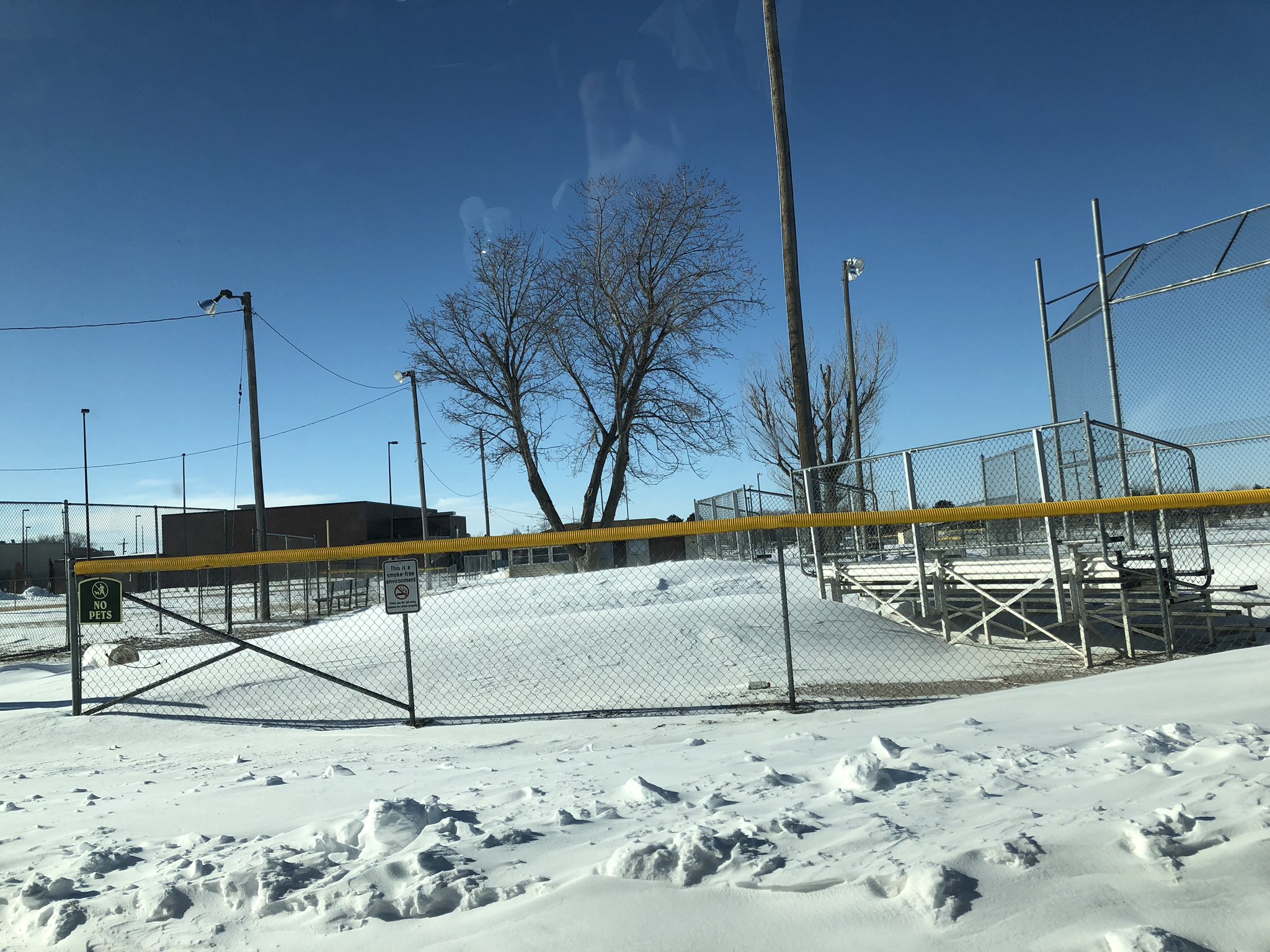
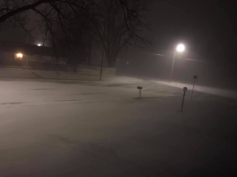
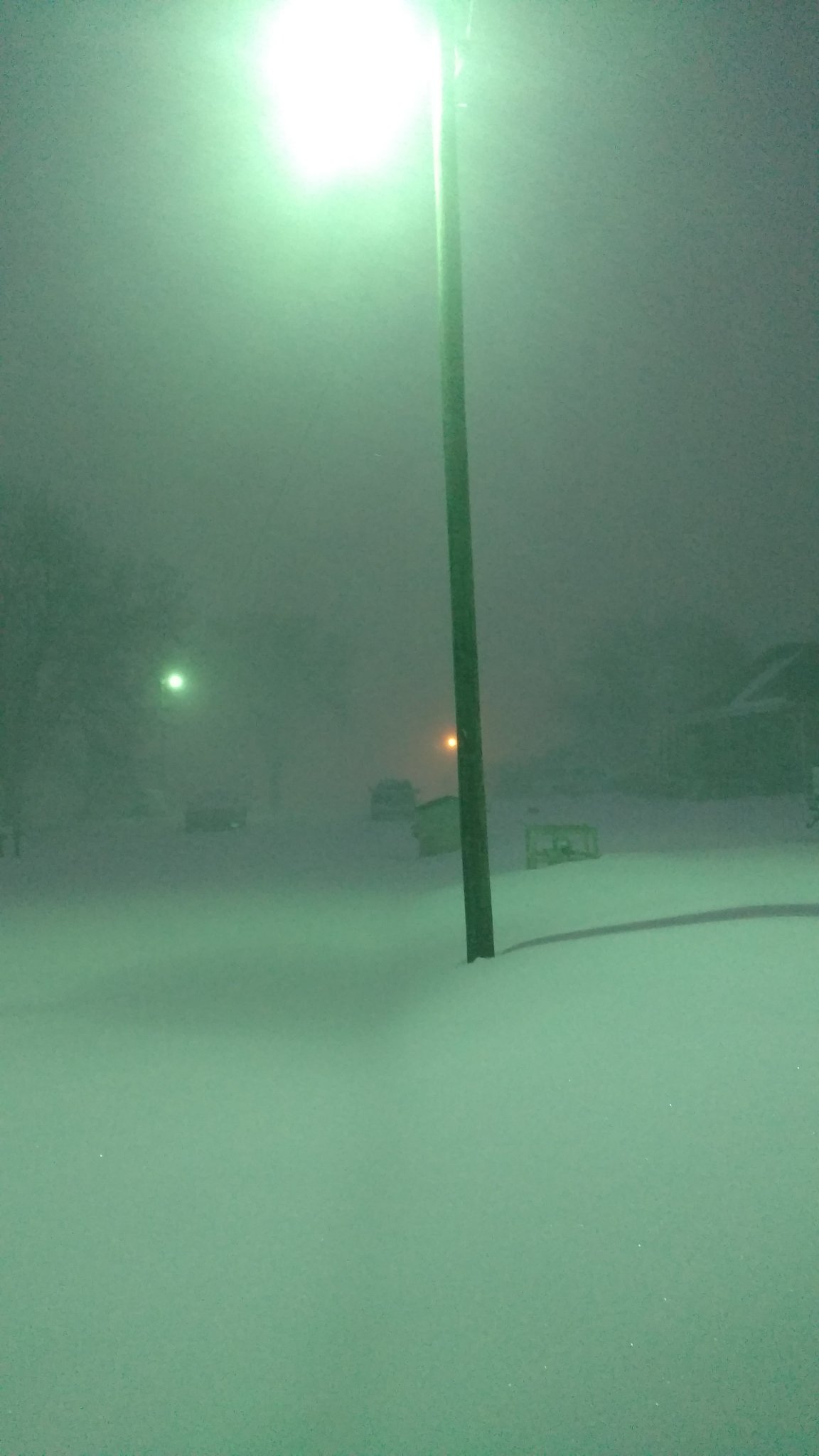
Just after the Christmas Holiday, a storm system crossed the Central Plains producing widespread rain, intense winds and snow. Rain developed on December 26th and widespread, heavy rainfall amounts of at least one inch were observed, with several locations picking up over two inches of rain. Rainfall of 1.42 inches at Grand Island and 1.41 inches at Hastings, both set new daily rainfall records for December 26th. A cold front arrived later that night or early in the morning on the 27th causing temperatures to plunge below freezing and causing a 'flash freeze' as wet outdoor surfaces and roads froze. Multiple bands of heavy snow also developed early Thursday morning (December 27th) and continued through the day. The heaviest band of snow set up roughly from Cambridge to Lexington to Greeley, NE. When coupled with northwest wind gusts of 40 to 50 MPH, many locations saw whiteout conditions for several hours. This combination of drifted roads and poor visibility led to closures along Interstate 80 west from Grand Island to North Platte and impacted post holiday travel. The strong winds led to scattered power outages across the area as well. Even areas that received minimal snowfall (1-2") had issues with poor visibility thanks to the long-lived intense winds. |
 |
Snow
2-Day Storm Totals
|
|
|
Peak Wind Gusts
Observations are taken from a variety of equipment
| Logan, KS | 53 MPH |
| Holdrege Airport | 45 MPH |
| Odessa, NE | 50 MPH |
| Grand Island Airport | 48 MPH |
| 5NNW Oxford, NE | 53 MPH |
| Osborne, KS | 46 MPH |
| 6ENE Kearney, NE | 50 MPH |
| 3WNW Jewell, KS | 47 MPH |
| 3W Sumner, NE | 52 MPH |
| Smith Center Airport | 44 MPH |
| Ord Airport | 53 MPH |
| Hastings Airport | 52 MPH |
| Lexington Airport | 47 MPH |
| Cozad, NE | 52 MPH |
Photos & Video
 |
 |
 |
 |
| 10NW of Kearney, NE photo by Jake Petr |
10NW of Kearney, NE photo by Jake Petr |
Cozad, NE photo by Mrs. Stortenbecker |
Lexington, NE photo by Julie Thies |
 |
 |
 |
 |
| Holdrege, NE photo by, Todd Veal |
Holdrege, NE photo by, Todd Veal |
Lexington, NE photo by Paul Pack |
Cambridge, NE photo by James McGowen |
Rain Reports
24 Hour Totals as of ~6am Thursday, December 27th
|
|
|
 |
Media use of NWS Web News Stories is encouraged! Please acknowledge the NWS as the source of any news information accessed from this site. |
|