
These storm systems will bring late season snow, sleet and ice for portions of the northern Plains, upper Midwest and Great Lakes region. Meanwhile, where temperatures are warmer, severe thunderstorms are expected for areas of the Mississippi Valley into the southern Plains. Furthermore, combination of windy and dry conditions will raise fire weather concerns for the southern High Plains. Read More >
Grand Junction, CO
Weather Forecast Office
Showers and Thunderstorms May Contain Heavy Rainfall Rates
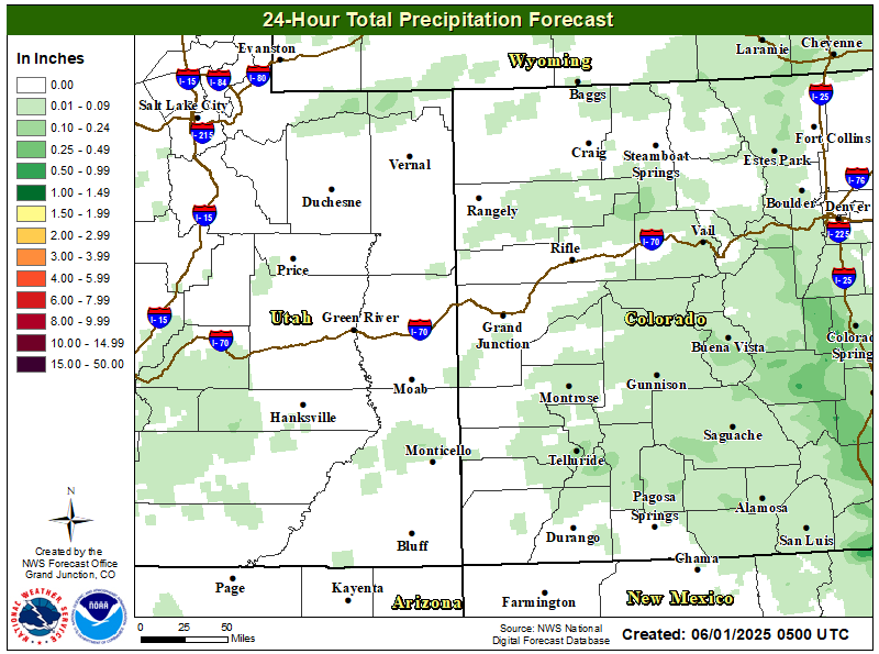
Subtropical moisture over the Eastern Great Basin and Rockies will lead to rainfall rates in excess of 1 inch per hour for some thunderstorms this afternoon and evening. As a result, Flash Flood Watches remain in effect for some of the larger fire burn scars. Thunderstorm activity will become more scattered on Thursday with the focus mainly along the Continental Divide.
Temperatures will remain below seasonal normals in response to the added clouds and showers. Additionally, the smoke from wildfires across the western U.S. will diminish over the area.
Flash Flood Watches for Recent Large Fire Burn Scars

Click on Map Above to Access the NWS Detailed Hazards Web Display
24 Hour Total Precipitation Forecast
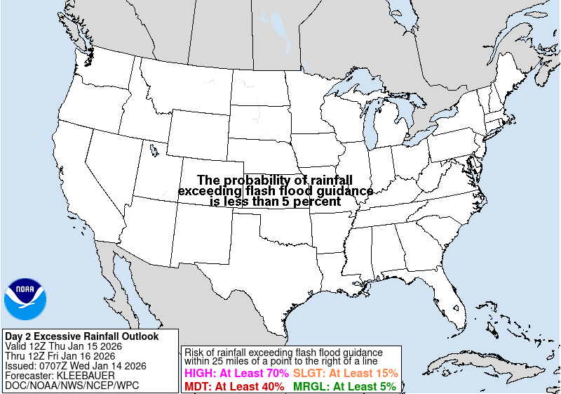
Excessive Rainfall Outlook for Today
Today's Forecast High Temperatures

Hazards
Detailed Hazards Viewer
National Briefing
Outlooks
Transportation Decision Support
Winter Storm Severity Index
Forecasts
Aviation Weather
Fire Weather
Forecast Discussion
Forecast Points
Local Area
Severe Weather
Soaring Forecast
Winter Weather
Hydrology
Recreational River Report
River Forecast
Weather Safety
Preparedness
NOAA Weather Radio
StormReady
SkyWarn
US Dept of Commerce
National Oceanic and Atmospheric Administration
National Weather Service
Grand Junction, CO
2844 Aviators Way
Grand Junction, CO 81506-8644
970-243-7007
Comments? Questions? Please Contact Us.

