
Dangerous heat will expand from the Gulf Coast into the Southern Plains and Desert Southwest through week's end. Additional extreme heat impacting the Pacific Northwest will shift to the northern Plains by the weekend. Tropical Storm Bertha is expected to continue to impact portions of the northwestern Gulf Coast from south central Louisiana to the upper Texas coast today. Read More >
|
|
Current Conditions and Seven Day Forecast |
|
 |
|

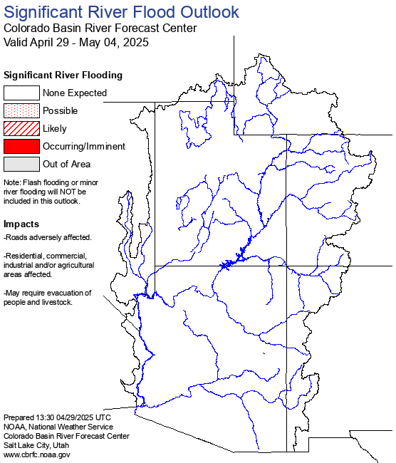 |
| Eastern Utah and Western Colorado River Flood Outlook |
 |
|
||||||||
 |
 |
 |
 |
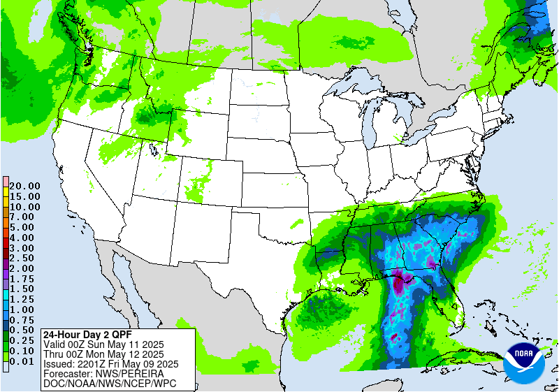
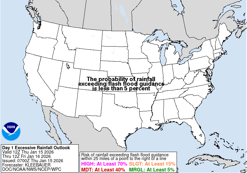
| Today |
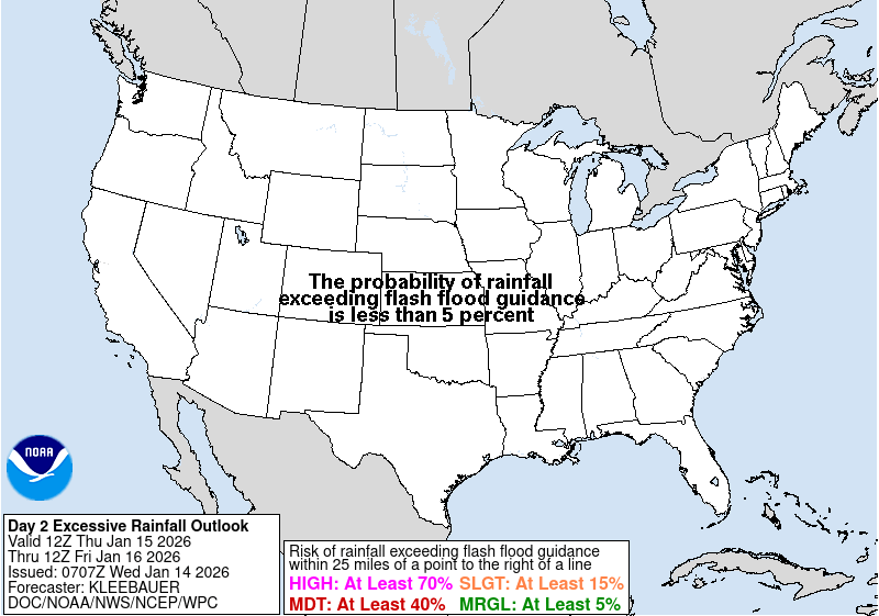
Tomorrow |
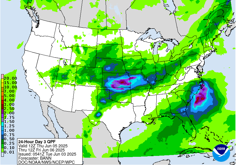
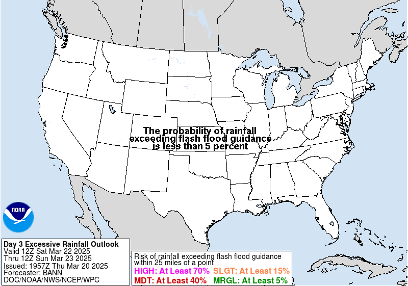
Day 3 |
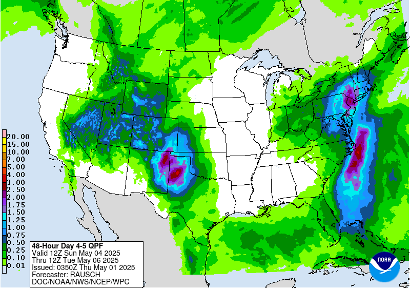
Days 4-5 |
 |
 |
 |
| Excessive Rainfall Outlook Today |
Excessive Rainfall Outlook Tomorrow |
Excessive Rainfall Outlook Day 3 |
 |
 |
|
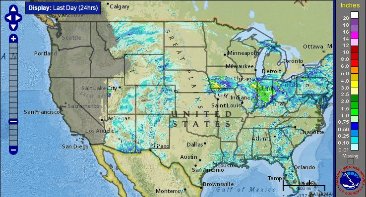
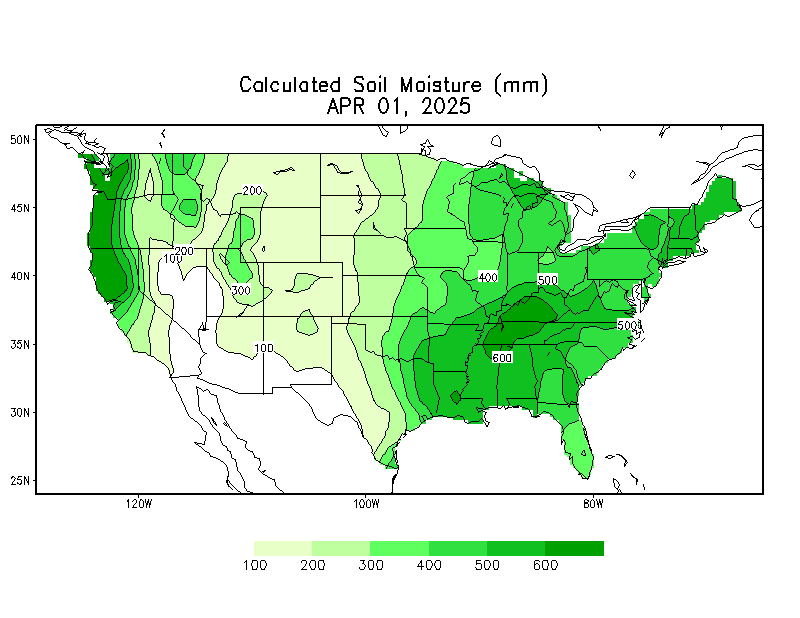
| Past Rainfall | Snow Cover and Water Content | Soil Moisture |
 |
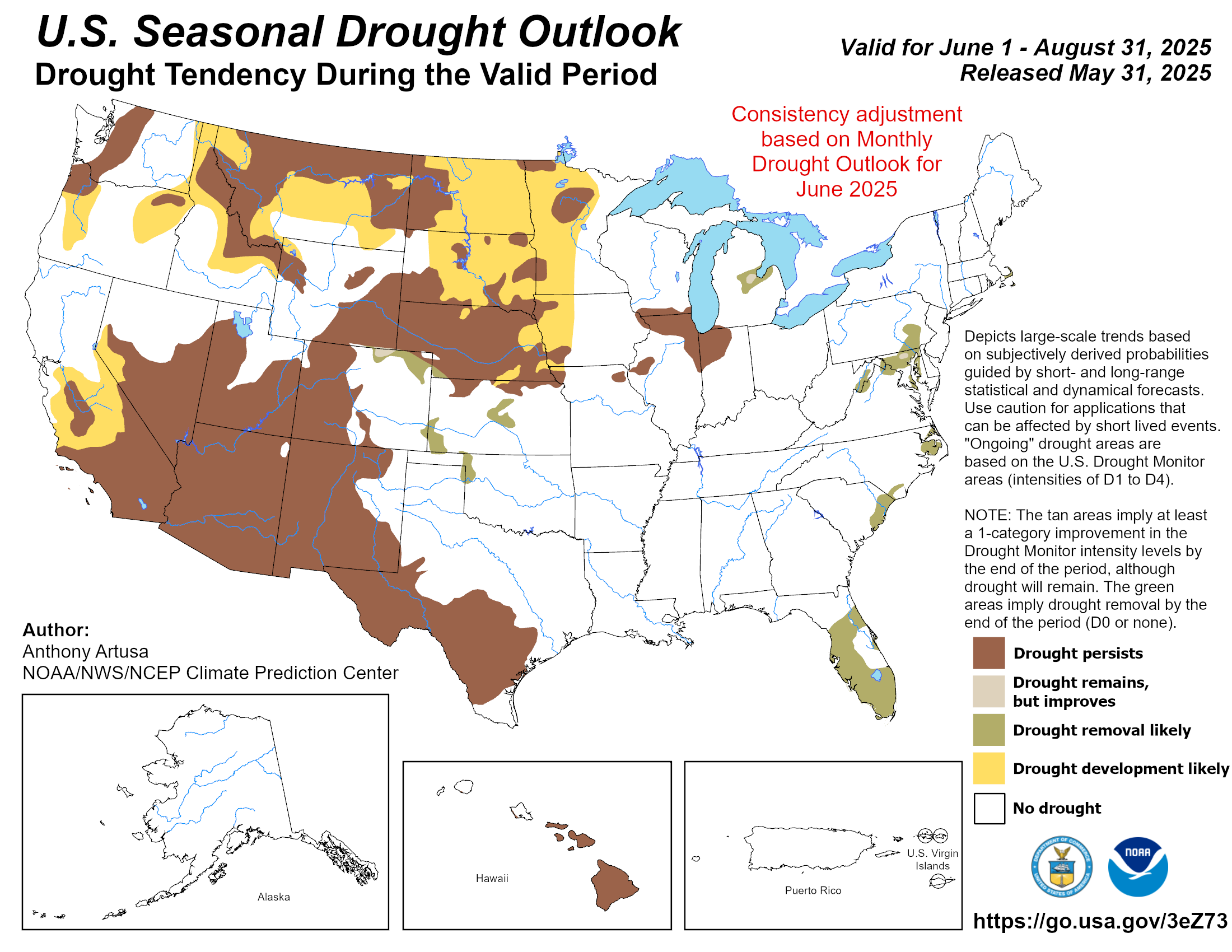 |
| Current Drought Conditions - Click for more Information | Drought Outlook - Click for more Information |





 Follow us on X
 Follow us on Facebook
 Follow us on YouTube
 GJT RSS Feed