
A heat wave over the Southwest will intensify this week, peaking and expanding into the Intermountain West and northern High Plains this weekend. Critical to extremely critical fire weather conditions are forecast from the Northwest and the northern Great Basin this weekend. Particularly Dangerous Situation Red Flag Warnings have been issued. Read More >
Grand Junction, CO
Weather Forecast Office
| Vis Satelite | IR Satellite | Radar | Observations | Surface Plot |
| Red Flag Warning Message | Area Forecast Discussion | Fire Weather Point Forecast Matrix | Fire Weather Zone Forecast | Hazardous Weather Outlook |
| Fire Weather Outlooks | ||
Day 1 |
Day 2 |
Day 3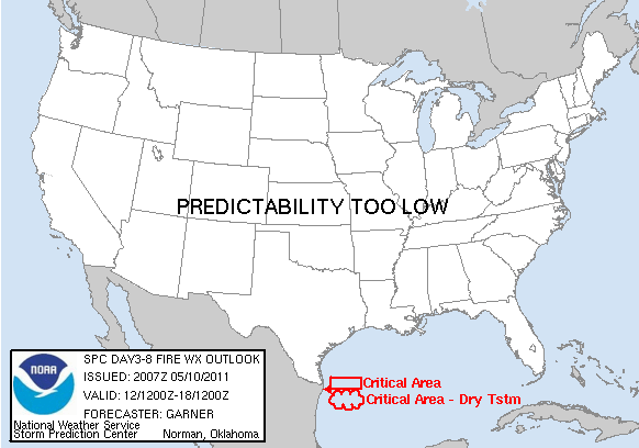 |
| Lightning Potential Index (Generated by GJT NWS) | ||
Lightning Potential Index - Click Here |
||
| Drought | |||
Weekly Drought Monitor |
Seasonal Outlook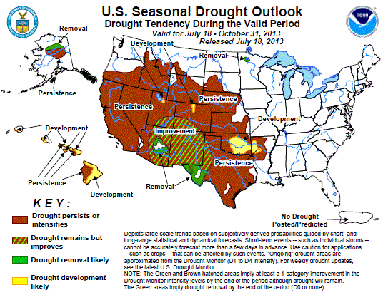 |
||
| Wind and RH Forecast | |||
Maximum Wind Gust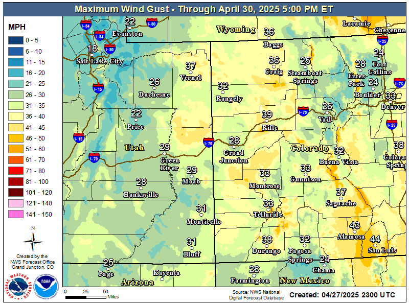 |
Day 1 Min RH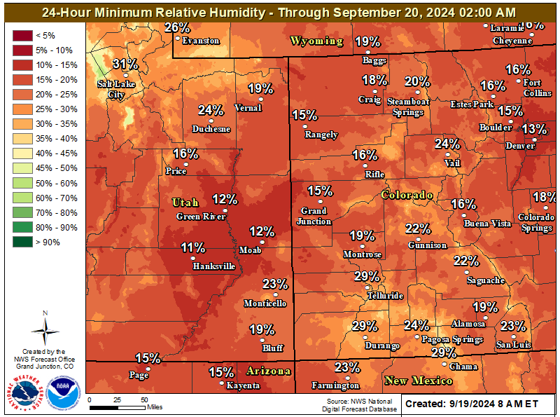 |
Day 2 Min RH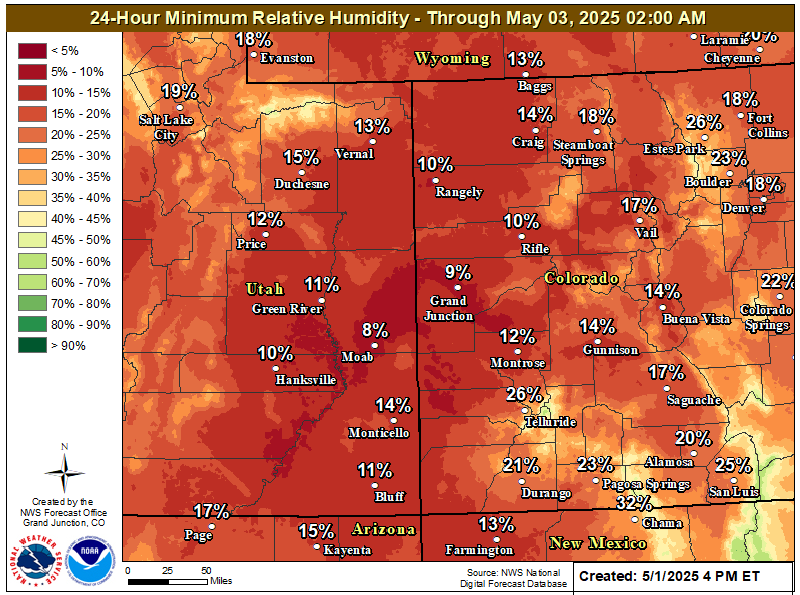 |
|
Hazards
Detailed Hazards Viewer
National Briefing
Outlooks
Transportation Decision Support
Winter Storm Severity Index
Forecasts
Aviation Weather
Fire Weather
Forecast Discussion
Forecast Points
Local Area
Severe Weather
Soaring Forecast
Winter Weather
Hydrology
Recreational River Report
River Forecast
Weather Safety
Preparedness
NOAA Weather Radio
StormReady
SkyWarn
US Dept of Commerce
National Oceanic and Atmospheric Administration
National Weather Service
Grand Junction, CO
2844 Aviators Way
Grand Junction, CO 81506-8644
970-243-7007
Comments? Questions? Please Contact Us.

