Tiyan, GU
Weather Forecast Office
No Active Red Flag Warning or Fire Weather Watch
A Guide to Understanding Guam's Fire Danger Brochure (PDF)
Text Products issued Daily
FWF - Fire Weather Forecast Issued Nov 1st - May 31st (Product Description)
Experimental Fire Weather Graphical Forecasts
Now available for expected wind direction and speed, temperature, dewpoint, weather, and probability of precipitation.
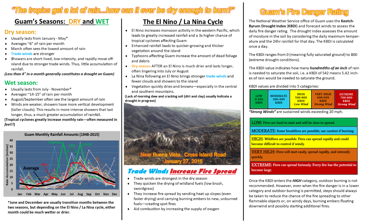
Relative Humidity Calculator
Related Links
US Dept of Commerce
National Oceanic and Atmospheric Administration
National Weather Service
Tiyan, GU
3232 Hueneme Rd
Barrigada, GU 96913
(671) 472-0900
Comments? Questions? Please Contact Us.


 Public Forecast
 Marine Forecast
 Radar
Radar Satellite
 Area Forecast Discussion
.png) Active Tropical Cyclones
Active Tropical Cyclones Palau Sector
 Yap Sector
 Marianas Sector
 Chuuk Sector
 Pohnpei/Kosrae Sector
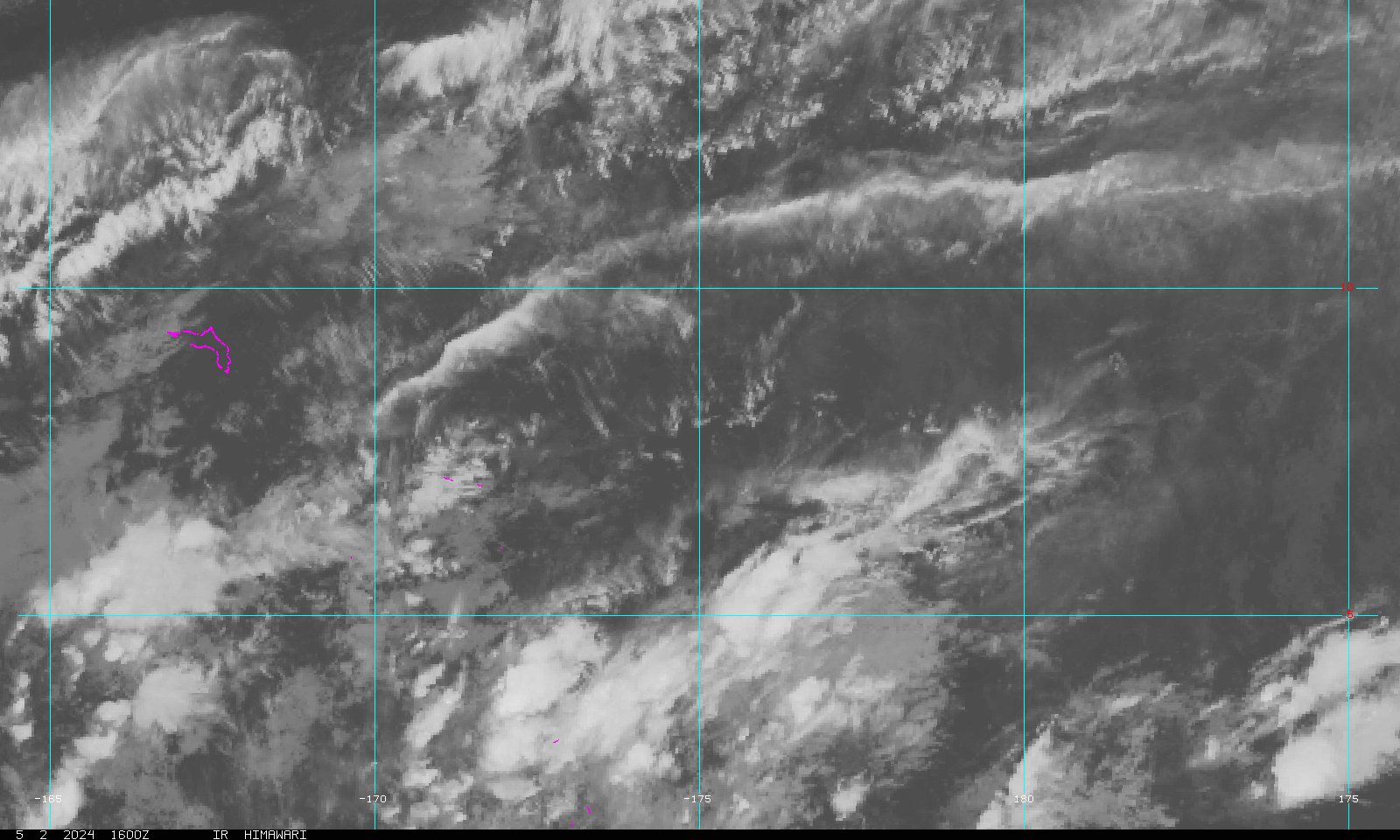 Marshall Islands Sector
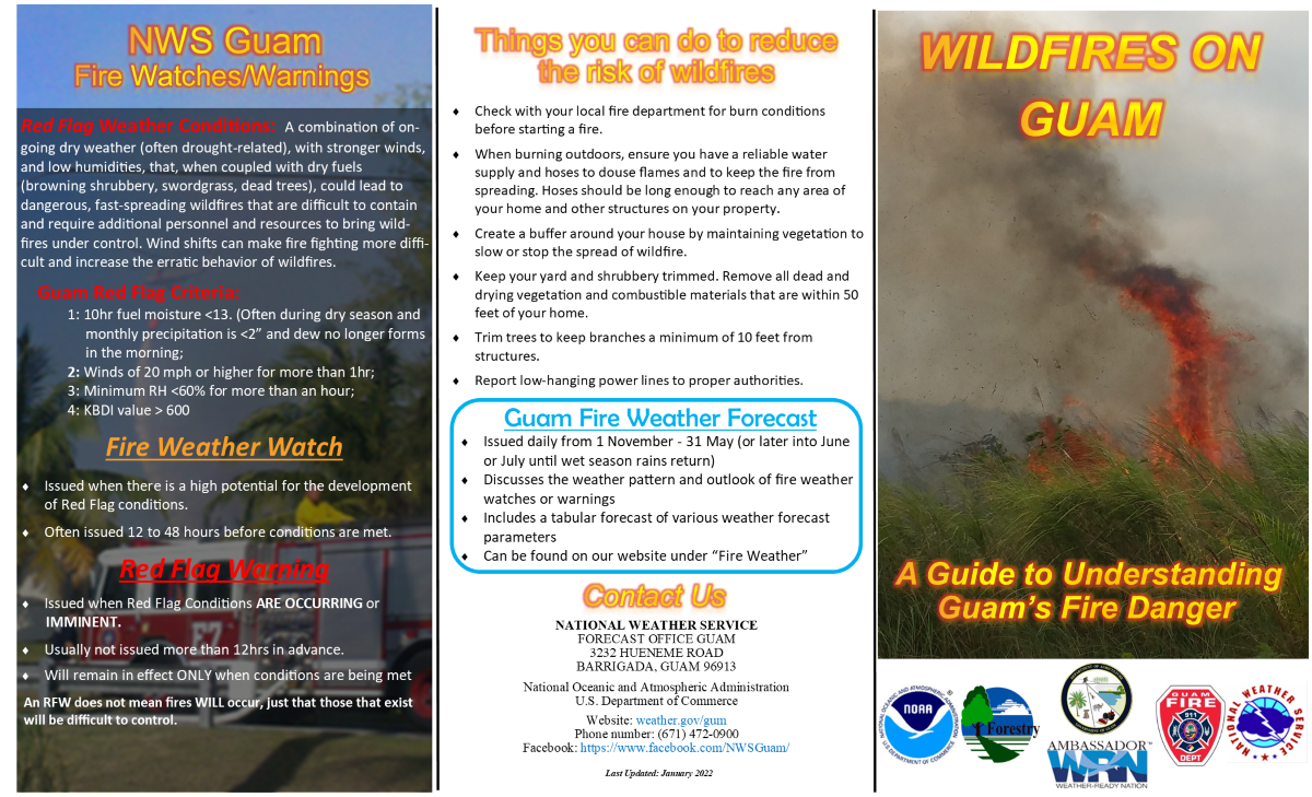