|
NO active tropical cyclones at this time.
Sat, Jul 25, 10:47 AM ChST
|
To learn more the new probabilistic tropical cyclone graphics, read our introduction here: Introducing New Probabilistic TC Graphics PDF
Printer-friendly typhoon tracking chart (landscape)
![]()
Joint Typhoon Warning Center (JTWC)
Post Storm Hurricane Report Issued: 07/23/2026 01:21:00 PM UTC
Tropical Cyclone Products we issue
Historical Tropical Cyclones Affecting Guam (1671-1990)
Guam Homeland Security Office of Civil Defense


 Public Forecast
 Marine Forecast
 Radar
Radar Satellite
 Area Forecast Discussion
.png) Active Tropical Cyclones
Active Tropical Cyclones Palau Sector
 Yap Sector
 Marianas Sector
 Chuuk Sector
 Pohnpei/Kosrae Sector
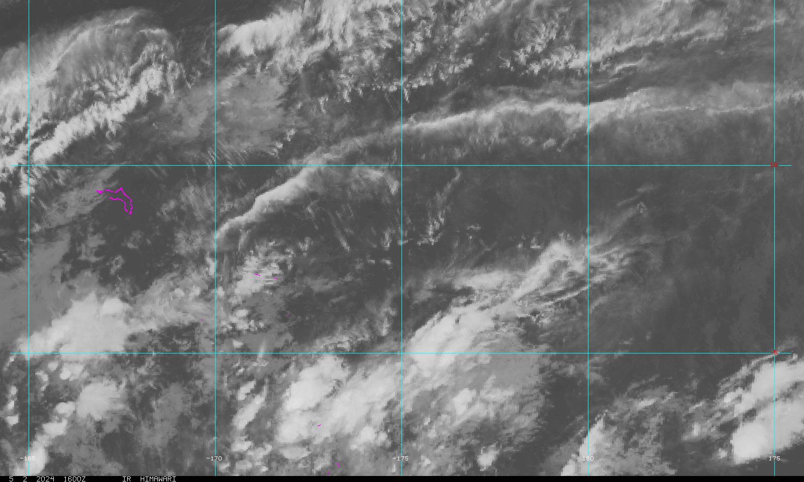 Marshall Islands Sector
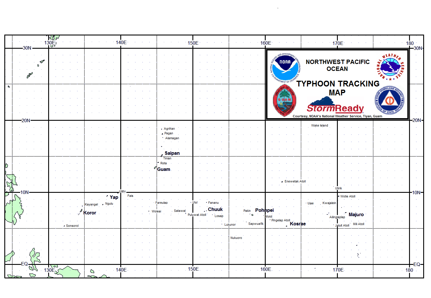