Local Observations And Impacts From Past Tropical Cyclones
This page provides links to observational data from our local area for tropical cyclone events since 2023.
NOTE: Point-based observations are unlikely to sample the most extreme conditions.
2026
- March - Tropical Depression Nuri (03W)
- April - Super Typhoon Sinlaku (04W)
- May - Tropical Storm Hagupit (05W)
2025
- July - Tropical Storm Krosa (12W)
- August - Tropical Storm Podul (16W)
- Observational data summary
- Impacts report
- Downloadable observational data (CSV format)
- Wind and Pressure - No observational data exists for the 3 islands in the far northern Marianas
- Rainfall - No observational data exists for the 3 islands in the far northern Marianas
- Water Levels - No observational data exists for the 3 islands in the far northern Marianas
- Tornadoes - No tornadoes were reported
- November - Tropical Storm Fung-wong (32W)
2024
- September - Tropical Storm Bebinca (14W)
- September - Tropical Storm Jebi (19W)
- November - Tropical Storm Man-yi (25W)
2023
- May - Super Typhoon Mawar (02W)
- October - Super Typhoon Bolaven (15W)
- November - Tropical Depression Seventeen (17W)
- Observational data summary
- Impacts report
- Downloadable observational data (CSV format)
- Wind and Pressure - No reports of peak gusts exceeding 33 knots or pressures less than 1005 mb
- Rainfall - No reports of rainfall 3 inches or more
- Water Levels - No significant rise in water levels reported
- Tornadoes - No tornadoes were reported



 Public Forecast
 Marine Forecast
 Radar
Radar Satellite
 Area Forecast Discussion
.png) Active Tropical Cyclones
Active Tropical Cyclones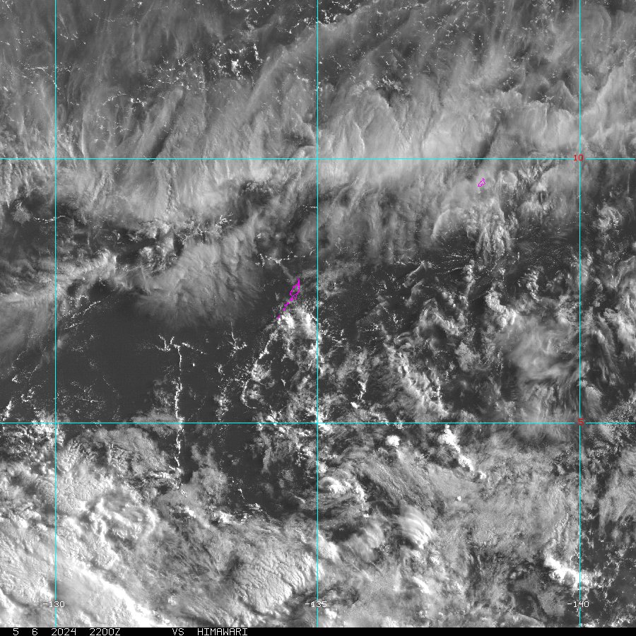 Palau Sector
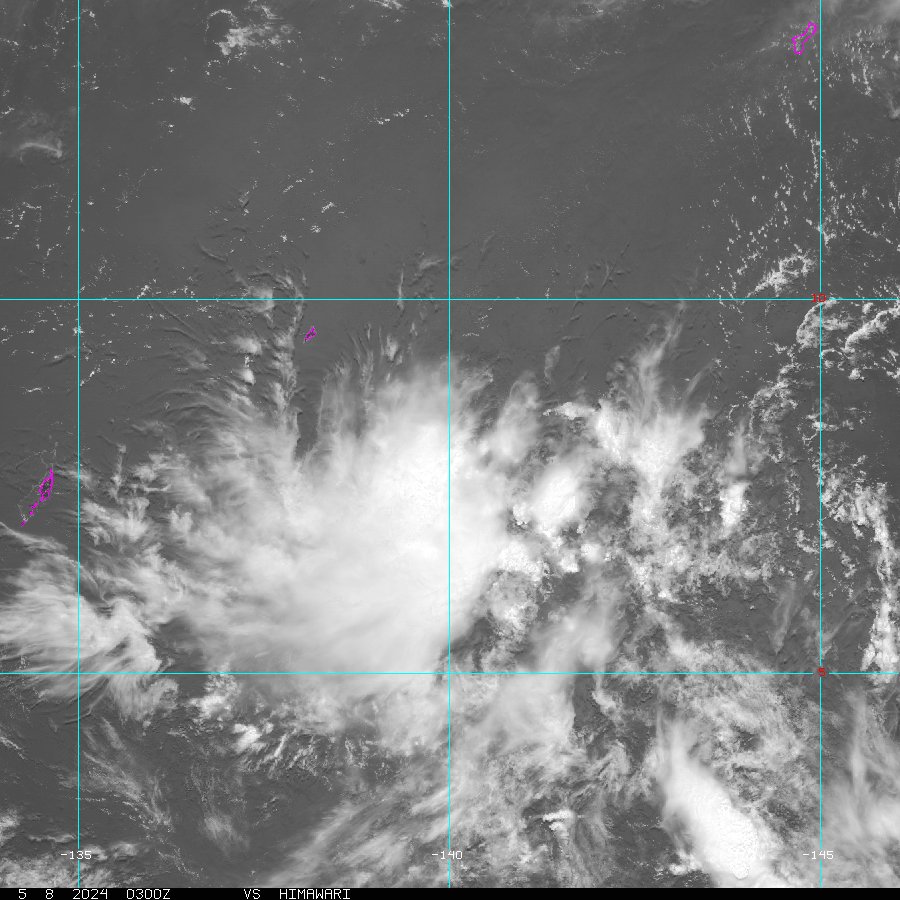 Yap Sector
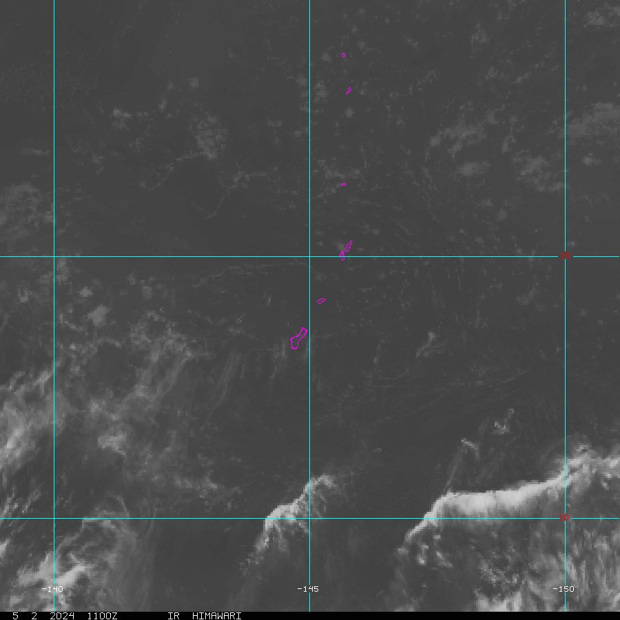 Marianas Sector
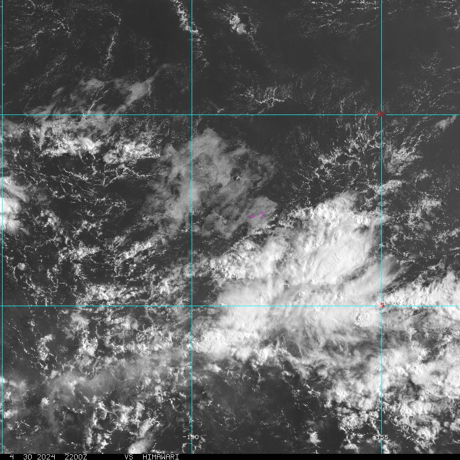 Chuuk Sector
 Pohnpei/Kosrae Sector
 Marshall Islands Sector
 Follow us on X
 Follow us on Facebook
 GUM RSS Feed