Local Imagery for Areas Around the Pacific Region
| Visible Image |
Visible Loop |
IR Image |
IR Loop |
|
| Guam |
|
|
|
|
| Marianas Islands |
|
|
|
|
| Palau |
|
|
|
|
| Yap |
|
|
|
|
| Chuuk |
|
|
|
|
| Pohnpei |
|
|
|
|
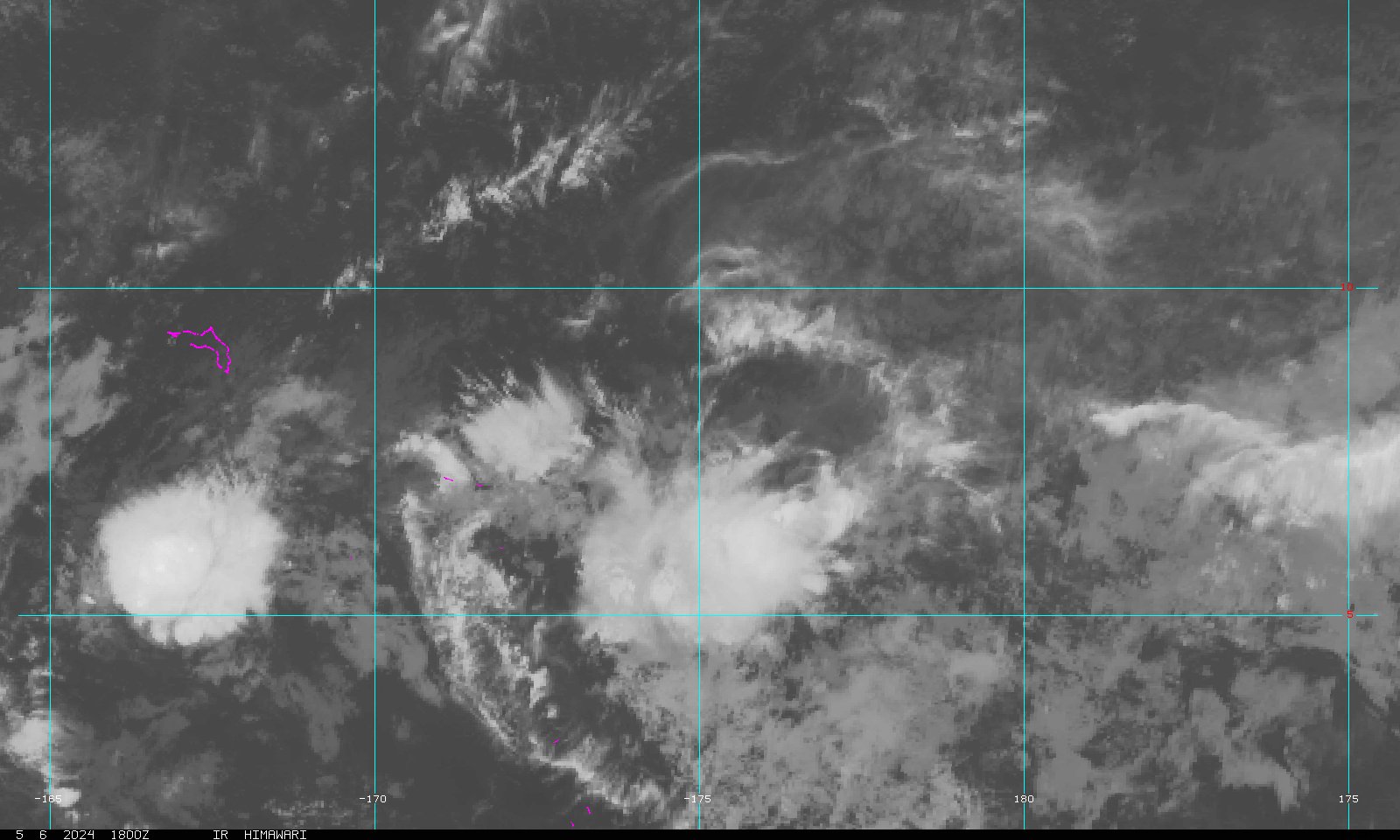
| Marshall Islands |
|
|
|
|
| American Samoa |
|
|
|
|
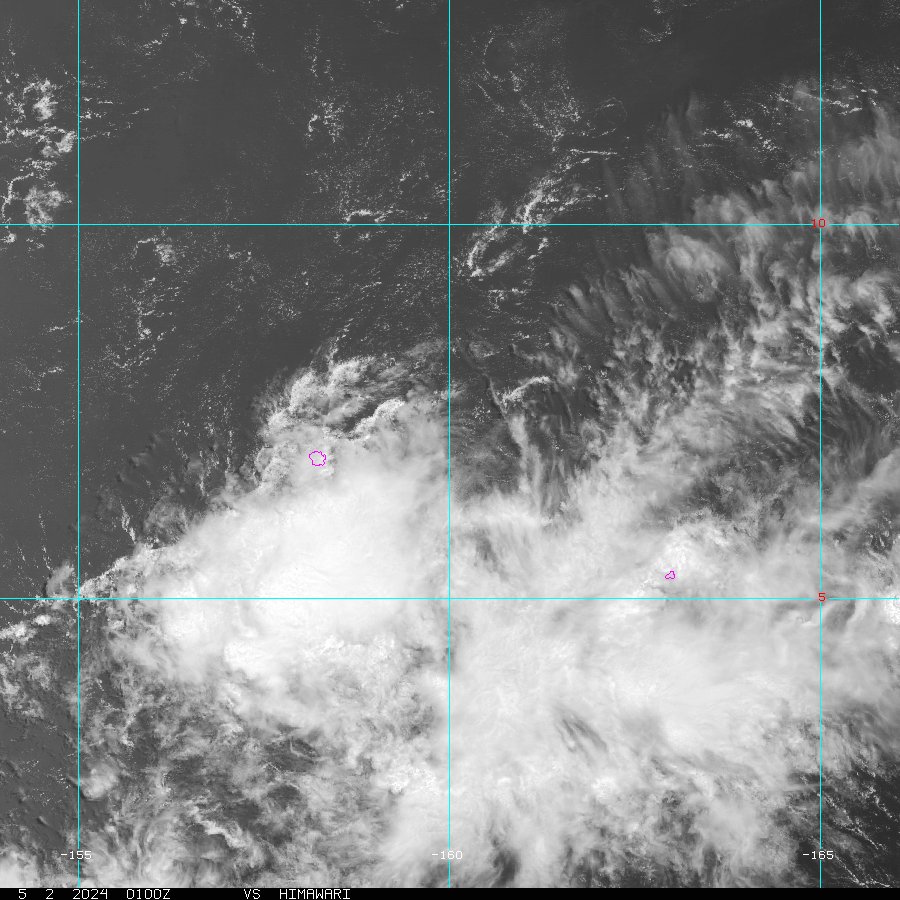
| State of Hawai`i |
|
|
|
|
Large Imagery for North (West-Central and West) Pacific Ocean
|
|
West-Central Pacific |
Loop Image |
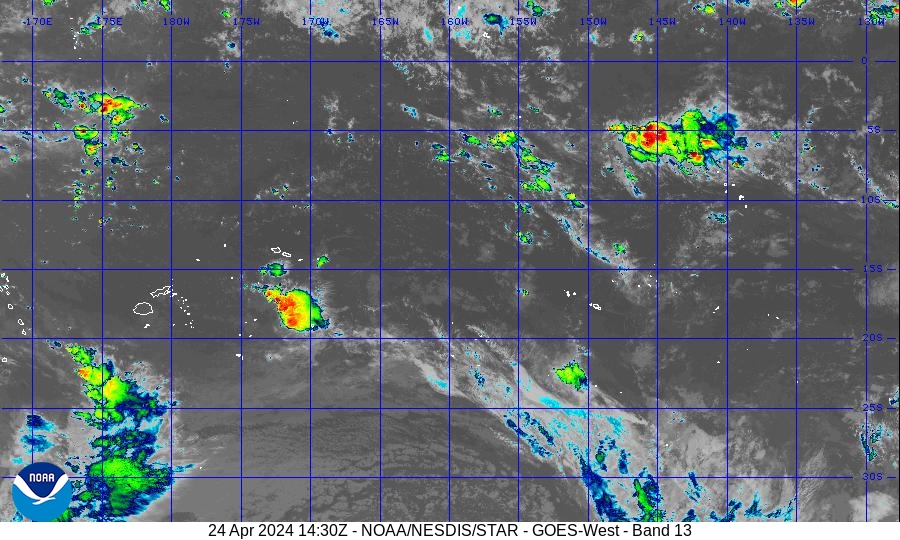
West Pacific |
Loop Image |
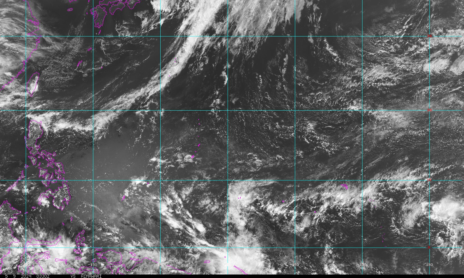
| Visible |  |
 |
 |
|
| Infra Red 2 |  |
 |
|
|
| Water Vapor |  |
|
 |
|
| Water Vapor (Guam) | 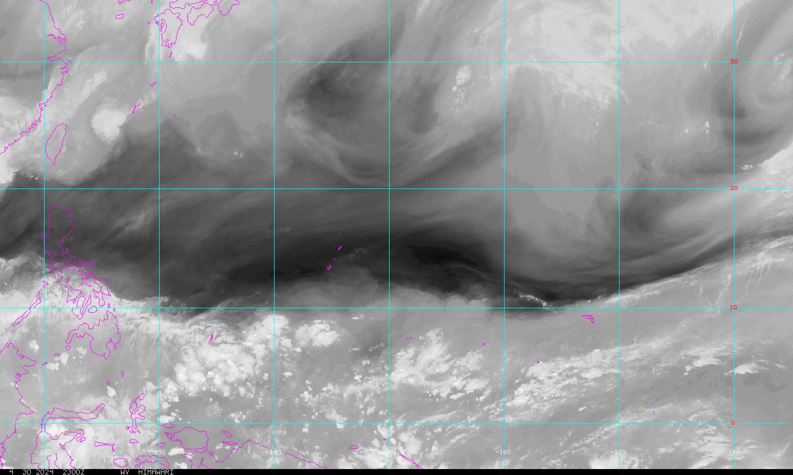 |
|
||
| None |  |
|
 |
|
| AVN Color IR |  |
|
 |
|
| Dvorak IR |  |
|
 |
|
| JSL IR |  |
|
 |
|
| RGB |  |
|
|
|
| Funktop |  |
|
 |
|
| Funktop (Guam) |  |
|
||
| Rainbow |  |
|
 |
|
| Full Dish VIS | 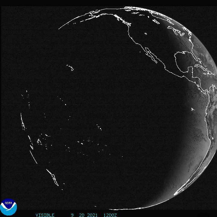 |
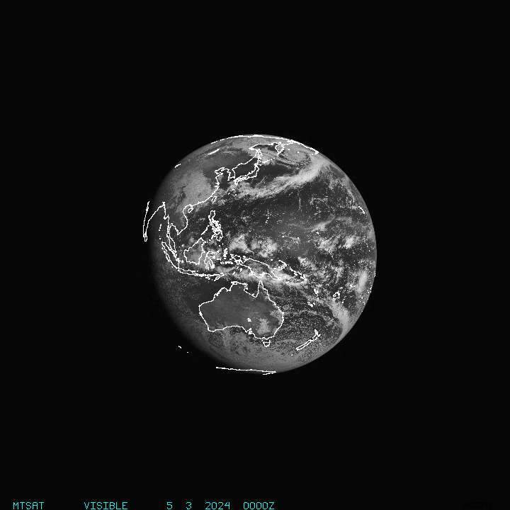 |
||
| Full Dish IR |  |
 |
Enhancement Descriptions:
AVN Aviation color enhancement
BD Dvorak enhancement - used for Tropical Classifications with the Dvorak Technique
FT Funktop enhancement - developed by Ted Funk for assistance with Precipitation analysis
IR2 Channel 2 Infrared imagery - Shortwave, sometimes considered "night visible"
IR4 Unenhanced Channel 4 Infrared Imagery
JSL JSL2 enhancement - developed by Jim Lynch for use with tropical classifications
RB Rainbow enhancement curve - pretty color enhancement
RGB Combination of Visible and IR using a three channel technique to make features stand out
VIS Unenhanced Visible imagery (dark at night).
WV Water Vapor, IR Channel 3 with color enhancement
* All images are updated at 25 minutes past the hour *
Related Links


 Public Forecast
 Marine Forecast
 Radar
Radar Satellite
 Area Forecast Discussion
.png) Active Tropical Cyclones
Active Tropical Cyclones Palau Sector
 Yap Sector
 Marianas Sector
 Chuuk Sector
 Pohnpei/Kosrae Sector
 Marshall Islands Sector