
A significant heat wave continues for the Rockies, Northern Plains, and Great Lakes into the Mid-Atlantic, peaking in intensity through midweek and lingering across parts of the Northern Plains and Midwest until this weekend. Excessive rainfall my bring life-threatening and locally catastrophic flash and urban flooding across portions of southwestern Texas through early Friday. Read More >
|
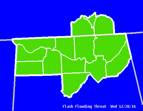
Graphical HWO - Flash Flooding Threat
|
||||||||
|
This graphic shows the expected coverage of any potential flash flooding within the threatened area. For example, a yellow shade (corresponding to the "Isolated" category) might reflect the possibility of an isolated thunderstorm that produces enough heavy rain to cause flash flooding within the shaded area. Conversely, a red color (or "Widespread" category) covering several counties would reflect a larger area of heavy rain that could cause flash flooding across multiple areas in those counties. |
||||||||
|
|
||||||||
Categories
|
|
Related Links
(Note: These are the latest products issued, so they may be old. Check the date and time. For more information on what these products are, see our Product Guide.) |


 Local Radar
 Weather Map