
Heavy lake effect snow, gusty winds, and localized blizzard conditions will persist through Thanksgiving near and downwind of the Great Lakes. Rain and mountain snow are forecast for the Pacific Northwest. Confidence is increasing for another winter storm to develop over the northern and central Rockies Friday and track across the central Plains through the Midwest and Great Lakes this weekend. Read More >
|
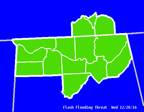
Graphical HWO - Flash Flooding Threat
|
||||||||
|
This graphic shows the expected coverage of any potential flash flooding within the threatened area. For example, a yellow shade (corresponding to the "Isolated" category) might reflect the possibility of an isolated thunderstorm that produces enough heavy rain to cause flash flooding within the shaded area. Conversely, a red color (or "Widespread" category) covering several counties would reflect a larger area of heavy rain that could cause flash flooding across multiple areas in those counties. |
||||||||
|
|
||||||||
Categories
|
|
Related Links
(Note: These are the latest products issued, so they may be old. Check the date and time. For more information on what these products are, see our Product Guide.) |


 Local Radar
 Weather Map