National Weather Service United States Department of Commerce

Flash Flooding Likely into Tonight for Portions of Kansas and Missouri; Heat Wave Expands to the East Coast; Tropical Storm Krosa Forms Near the Marianas.

Flash flooding likely in northeast Kansas & Missouri into tonight. Widespread extreme heat will develop and persist across much of the Southeast this weekend & next week. Tropical Storm Krosa has formed and will continue to cause heavy rain across Guam & the CNMI through Saturday. Severe storms with flooding rains expected into tonight for portions of the Midwest. Read More >

Graphical HWO - Thunderstorm Threat

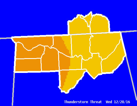
This graphic reflects both the severity of any thunderstorm activity that may develop, as well as the potential coverage of severe thunderstorms.

For example, an area under the "Strong to Severe" category, at worst, will see storms that have severe-criteria damaging winds or large hail. However, only a few of the storms that will develop are expected to meet these criteria.

Thunderstorm Threat
Click the graphic to return to the graphical HWO page.


Categories
No Storms Thunderstorms are NOT EXPECTED during the period.
General Strong or severe thunderstorms are not anticipated. The main hazard with any storms would be cloud to ground lightning and brief gusty winds (30 mph or less).
Strong Some strong thunderstorms are possible, with the main threats being frequent cloud-to-ground lightning, wind gusts to 50 mph, and hail to 1/2" in diameter.
Strong to Severe The majority of storm activity is expected to remain below severe criteria. However, a few severe storms are possible, with the main threats being wind gusts to 60 mph and hail up to 1" in diameter.
Severe There is an increasing probability of severe thunderstorms. The primary threats would be winds greater than 60 mph and hail up to 2" in diameter. Isolated, weak tornadoes are possible.
Widespread Severe The occurrence of significant severe weather is likely. The main threats would be wind gusts in excess of 80 mph, very large hail (greater than 2" in diameter), along with an increasing threat for tornadoes. An isolated strong or violent tornado (F2 intensity or greater) is also possible.


Related Links

Related Text Products
(Note: These are the latest products issued, so they may be old. Check the date and time. For more information on what these products are, see our Product Guide.)