Wichita, Kansas
Weather Forecast Office
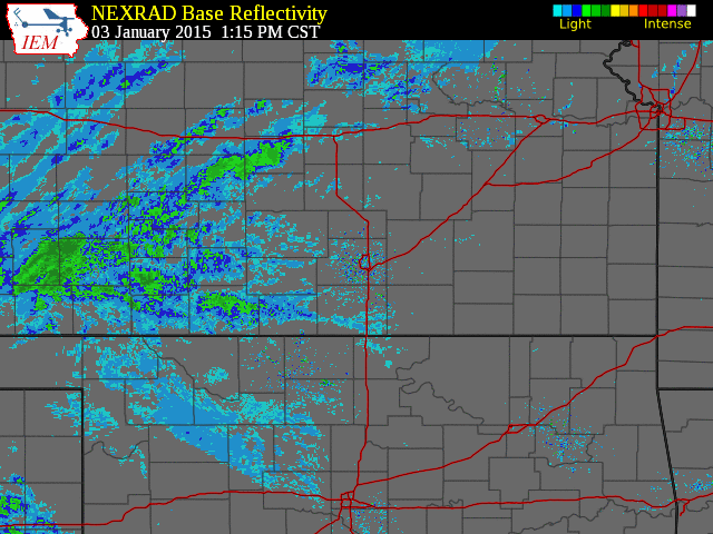
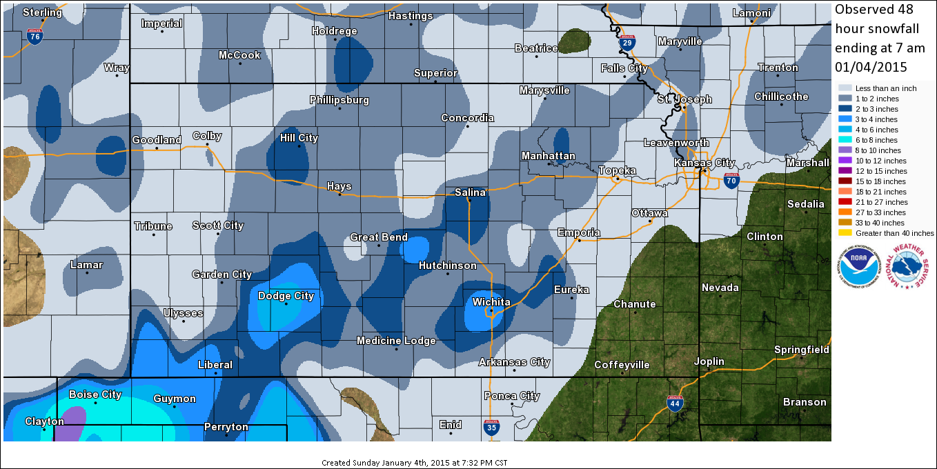
| A fast moving yet potent winter storm progressed northeast across the southern and central plains during the afternoon and evening of January 3rd. Preciptation initially began as a wintry mix of light sleet and snow, but quickly transitioned to all snow by early evening. Since temperatures were near freezing, the snow had a high liquid content and stuck to everything, and resulted in slushy roads. Light to moderate snow dominated through the event, although cold temperatures aloft resulted in a few relatively narrow bands of heavy snow, one of which was situated generally along the Kansas Turnpike corridor, and another over central Kansas. Snowfall rates within these narrow bands were 1 to 2 inches per hour at times. Total accumulations were generally 1 to 3 inches across the region, although locally higher amounts of 3 to 5 inches affected western and northern portions of the Wichita Metro, as well as portions of central Kansas from roughly Lyons to Salina. Furthermore, a strong arctic front ushered much colder temperatures and very strong northwest winds south across the region during the evening hours, resulting in areas of blowing and drifting snow and reduced visibilities. The rapid temperature drop also resulted in very slick roads. |
|
|
| Radar loop of the event. The darker green colors are areas of moderate to heavy snow. |
| Snow Accumulation Totals |
|
|
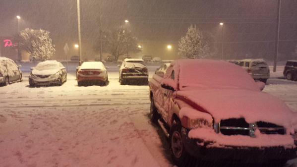
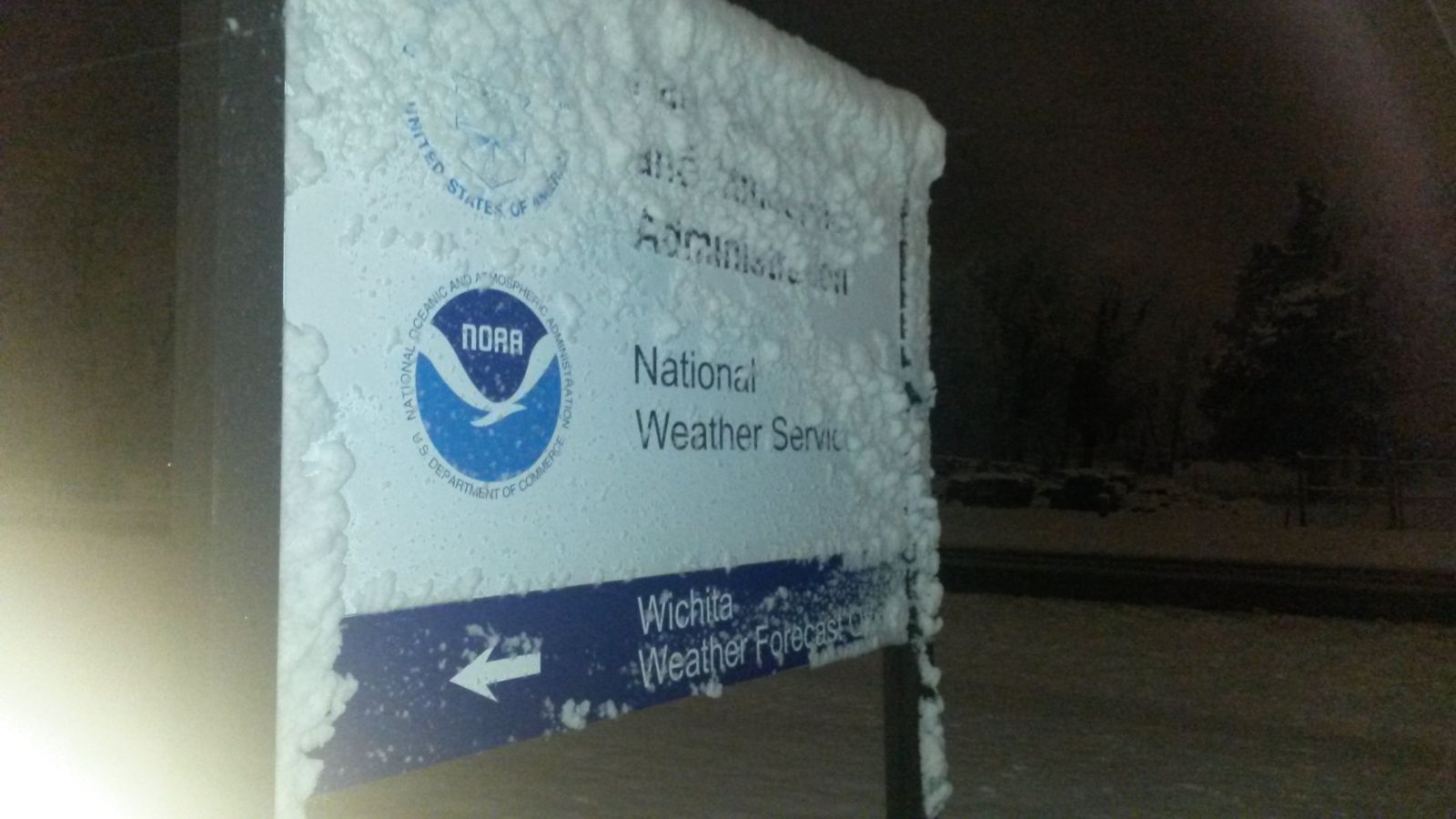
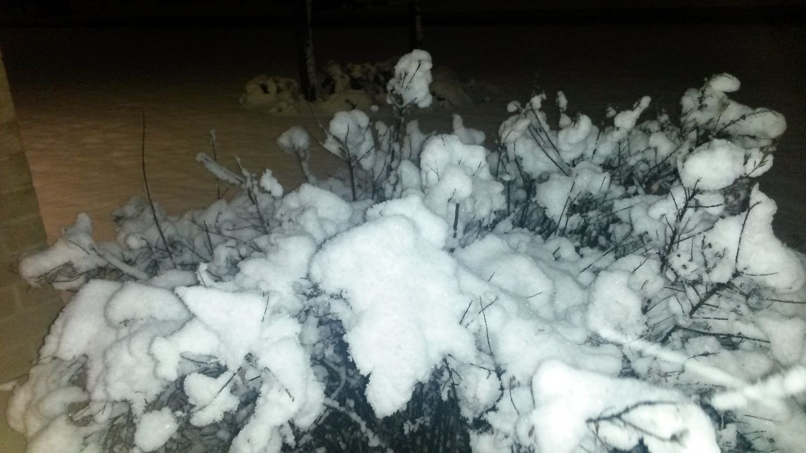
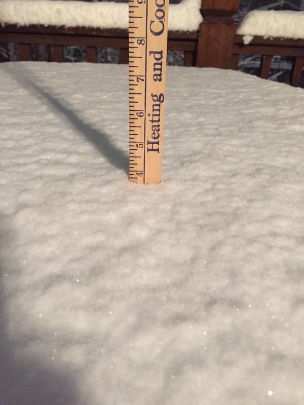
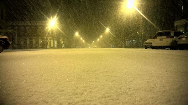
Snow Pictures
|
National Weather Service, Wichita. Courtesy of Brad Ketcham. |
National Weather Service, Wichita. Courtesy of Brad Ketcham. |
|
|
West Wichita. Courtesy of Frank Waugh. |
Lindsborg. Courtesy of Kansas Highway Patrol. |
|
|
West Wichita. Courtesy of Kevin Darmofal. |
West Wichita. Courtesy of Bryce Kintigh. |
|
Hazards
Briefing pages
Local weather story
Submit a storm report
Storm Prediction Center
Enhanced Hazardous Weather Outlook
Current Conditions
Local Radar
National Radar
Satellite
Hourly weather(text)
Precip Analysis
Snowfall analysis
This day in weather history
7 Day Lightning Archive
Forecasts
Forecast Discussion
Weather Story
Fire Weather
Activity Planner
Aviation Weather
Soaring Forecast
Hurricane Center
Graphical Forecasts
Regional Weather Summary
Probabilistic Snow
Probabilistic QPF
Wet Bulb Globe temp
Climate
Local Climate Page
Daily/Monthly data(F6)
Daily Records
Climate Normals
Local drought page
Latest Climate Report(ICT)
Latest Climate Report(SLN)
Latest Climate Report(CNU)
CoCoRaHS
7 Day Lightning Archive
US Dept of Commerce
National Oceanic and Atmospheric Administration
National Weather Service
Wichita, Kansas
2142 S. Tyler Road
Wichita, KS 67209-3016
316-942-3102
Comments? Questions? Please Contact Us.


.jpg)