Wichita, Kansas
Weather Forecast Office
January 9th-10th Winter Storm
|
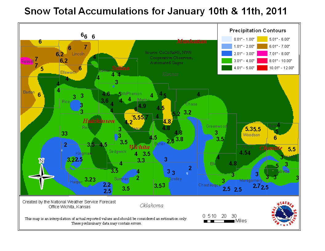
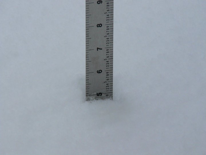
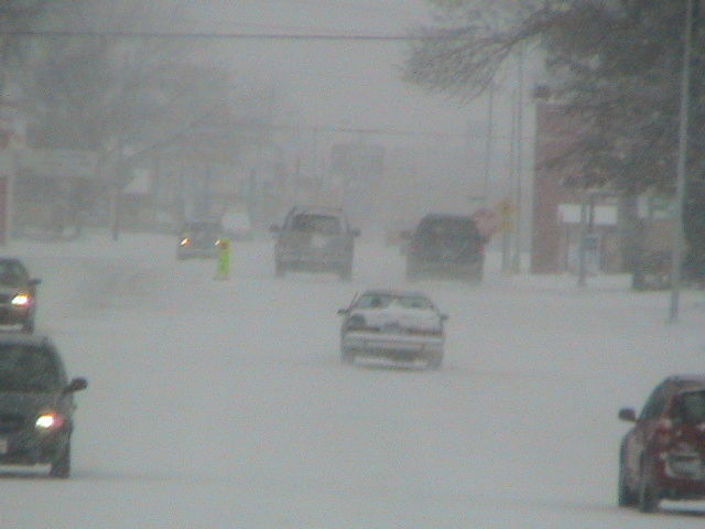
The first winter storm of the new year affected Central and Eastern Kansas on January 9th and 10th. This snow event was the result of a very slow moving storm system that took its time tracking out of the northern Rockies and finally out across the plains by late January 9th. What made this event unique was the prolonged period of snow. Most places across Central and Eastern Kansas experienced 24 hours of snowfall. Some of the heaviest snow affected Wichita right near the morning rush hour, on Monday January 10th, causing over 100 accidents between 5am and 9am.
|
|
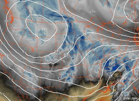
Water vapor imagery combined with 500mb heights showing the slow moving storm system. |
 Radar loop from 3am on Mon Jan 10th and ending at 3pm. |
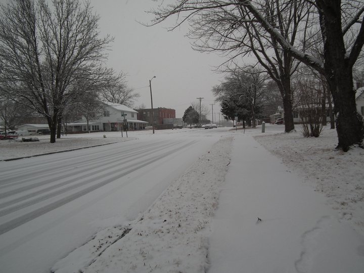
Caney Kansas. Photo by Pascal Van Schijndel.
|
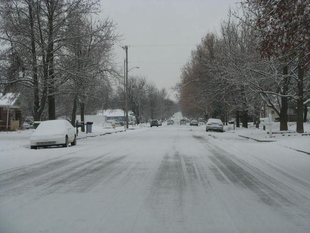 Arkansas City. Photo by Bob Frazee. |
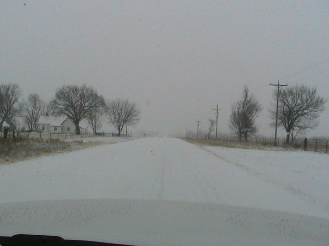 Near Parsons Kansas. Photo by J.D. Stewart. |
 Satellite Image taken on the 11th of Jan at 10am. |
Bunker Hill, KS. Photo by Russell County Emergency Manager.
|
 Near Parsons Kansas. Photo by J.D. Stewart |
Hazards
Briefing pages
Local weather story
Submit a storm report
Storm Prediction Center
Enhanced Hazardous Weather Outlook
Hazardous Weather Outlook Text
Current Conditions
Local Radar
National Radar
Satellite
Hourly weather(text)
Precip Analysis
Snowfall analysis
This day in weather history
7 Day Lightning Archive
Forecasts
Forecast Discussion
Weather Story
Fire Weather
Activity Planner
Aviation Weather
Soaring Forecast
Hurricane Center
Graphical Forecasts
Regional Weather Summary
Probabilistic Snow
Probabilistic QPF
Wet Bulb Globe temp
Climate
Local Climate Page
Daily/Monthly data(F6)
Daily Records
Climate Normals
Local drought page
Latest Climate Report(ICT)
Latest Climate Report(SLN)
Latest Climate Report(CNU)
CoCoRaHS
7 Day Lightning Archive
US Dept of Commerce
National Oceanic and Atmospheric Administration
National Weather Service
Wichita, Kansas
2142 S. Tyler Road
Wichita, KS 67209-3016
316-942-3102
Comments? Questions? Please Contact Us.